The Isle of Man - a fully detailed list of all the Mountains, Peaks, Tops and Hills (Page 1 of 8)
If you count only the Corbetts there are 222 tops to climb, bag & conquer and the highest point is Beinn a' Chlaidheimh at 914m (2,999ft).
To see these Mountains, Peaks, Tops and Hills displayed in different ways - see the options in the left-hand column and towards the bottom of this page.
![]() Your Personal Bagging Record for Scotland
Your Personal Bagging Record for Scotland
When logged on, you can mark each Mountain, Peak, Top or Hill as 'bagged' by either:
- if you opt to display the tops in this area using a google map, click or tap on its symbol on the map below. This will open a text window. Click or tap on the 'Record [mountain name] as Bagged, Climbed & Conquered' link towards the bottom of the text window, or
- if you opt to display the tops in this area as a list, click or tap on the red 'not yet' symbol to the right of the name of each 'top'
Either method will open a new page where you can complete all your details such as:
- when you bagged the Mountain, Peak, Top or Hill;
- which route you took
- who you went with
- what the weather was like
- any other comment that will remind you of the day
Once you have completed your details and click or tap the submit button, you will automatically return to this page and the top you bagged will show with a green tick.
NB. None of the above fields are 'mandatory' - you can leave them blank if you wish.
NNB. You also have the option whether to display your peak bagging exploits to other users of this site or keep them private so only you can see them when you are logged on.
Furthermore, since you can also access your Personal Mountain & Hill Bagging Record via go4awalk Mobile you can quickly & easily record, edit and view your achievements - whether you are at home/work on your desktop computer or in the pub/at the top of a mountain with your Mobile Phone. (You can even download your Personal Mountain & Hill Bagging Record as a .csv file for importing into and saving with spreadsheet software like Excel or NeoOffice!)
This facility costs one credit to initially access your personal bagging record. Once accessed, all other interactions, such as recording other Mountains, Peaks, Tops and Hills as 'bagged' or altering an existing bagging record, are free.
Click REGISTER to register and purchase credits.
LOG ON and RELOAD this page to show which Mountains, Peaks, Tops and Hills you have already climbed, bagged & conquered. [ . . . remove this text]
See this list in: Alphabetical Order
| Height Order‡
To reverse the order select the link again.
Mountain, Peak, Top or Hill:
Bagged

![]()
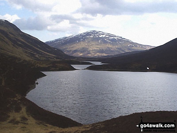
1. Beinn a' Chlaidheimh
914m (2,999ft)
Send it in and we'll publish it here.
Beinn a' Chlaidheimh is on interactive maps:
A downloadable go4awalk.com PDF Peak Bagging Map featuring Beinn a' Chlaidheimh will be available soon. |
![]()
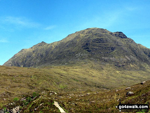
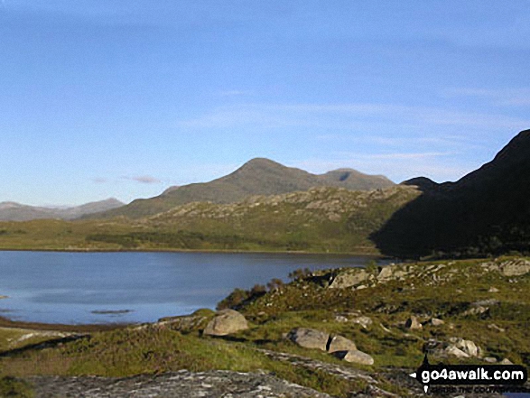
2. Beinn Dearg (Torridon)
914m (2,998ft)
Beinn Dearg (Torridon) is on interactive maps:
A downloadable go4awalk.com PDF Peak Bagging Map featuring Beinn Dearg (Torridon) will be available soon. |
![]()
3. Sgurr nan Ceannaichean
913m (2,997ft)
Send it in and we'll publish it here.
Sgurr nan Ceannaichean is on interactive maps:
A downloadable go4awalk.com PDF Peak Bagging Map featuring Sgurr nan Ceannaichean will be available soon. |
![]()
4. Sgurr a' Choire-bheithe
913m (2,996ft)
Send it in and we'll publish it here.
Sgurr a' Choire-bheithe is on interactive maps:
A downloadable go4awalk.com PDF Peak Bagging Map featuring Sgurr a' Choire-bheithe will be available soon. |
![]()
5. Beinn Bhreac (Gaick Forest)
912m (2,994ft)
Send it in and we'll publish it here.
Beinn Bhreac (Gaick Forest) is on interactive maps:
A downloadable go4awalk.com PDF Peak Bagging Map featuring Beinn Bhreac (Gaick Forest) will be available soon. |
![]()
6. Leathad an Taobhain
912m (2,991ft)
Send it in and we'll publish it here.
Leathad an Taobhain is on interactive maps:
A downloadable go4awalk.com PDF Peak Bagging Map featuring Leathad an Taobhain will be available soon. |
![]()
7. The Fara
911m (2,990ft)
The Fara is on interactive maps:
A downloadable go4awalk.com PDF Peak Bagging Map featuring The Fara will be available soon. |
![]()
8. Foinaven (Ganu Mor)
911m (2,989ft)
Foinaven (Ganu Mor) is on interactive maps:
A downloadable go4awalk.com PDF Peak Bagging Map featuring Foinaven (Ganu Mor) will be available soon. |
![]()
9. Beinn nan Oighreag
909m (2,984ft)
Beinn nan Oighreag is on interactive maps:
A downloadable go4awalk.com PDF Peak Bagging Map featuring Beinn nan Oighreag will be available soon. |
![]()
10. Meall Buidhe (Loch Lyon)
908m (2,980ft)
Send it in and we'll publish it here.
Meall Buidhe (Loch Lyon) is on interactive maps:
A downloadable go4awalk.com PDF Peak Bagging Map featuring Meall Buidhe (Loch Lyon) will be available soon. |
![]()
11. Streap
909m (2,980ft)
Streap is on interactive maps:
A downloadable go4awalk.com PDF Peak Bagging Map featuring Streap will be available soon. |
![]()
12. Beinn Maol Chaluim
907m (2,977ft)
Beinn Maol Chaluim is on interactive maps:
A downloadable go4awalk.com PDF Peak Bagging Map featuring Beinn Maol Chaluim will be available soon. |
![]()
13. Fuar Tholl
907m (2,976ft)
Fuar Tholl is on interactive maps:
A downloadable go4awalk.com PDF Peak Bagging Map featuring Fuar Tholl will be available soon. |
![]()
14. Leum Uilleim
906m (2,974ft)
Leum Uilleim is on interactive maps:
A downloadable go4awalk.com PDF Peak Bagging Map featuring Leum Uilleim will be available soon. |
![]()
15. Beinn Dearg Mor
906m (2,973ft)
Beinn Dearg Mor is on interactive maps:
A downloadable go4awalk.com PDF Peak Bagging Map featuring Beinn Dearg Mor will be available soon. |
![]()
16. Ben Tee
901m (2,964ft)
Ben Tee is on interactive maps:
A downloadable go4awalk.com PDF Peak Bagging Map featuring Ben Tee will be available soon. |
![]()
17. Ben Vuirich (Beinn Bhuirich)
903m (2,964ft)
Ben Vuirich (Beinn Bhuirich) is on interactive maps:
A downloadable go4awalk.com PDF Peak Bagging Map featuring Ben Vuirich (Beinn Bhuirich) will be available soon. |
![]()
18. Beinn Damh
903m (2,963ft)
Beinn Damh is on interactive maps:
A downloadable go4awalk.com PDF Peak Bagging Map featuring Beinn Damh will be available soon. |
![]()
19. Beinn an Lochain
902m (2,958ft)
Beinn an Lochain is on interactive maps:
A downloadable go4awalk.com PDF Peak Bagging Map featuring Beinn an Lochain will be available soon. |
![]()
20. Beinn Odhar (Tyndrum)
901m (2,958ft)
Send it in and we'll publish it here.
Beinn Odhar (Tyndrum) is on interactive maps:
A downloadable go4awalk.com PDF Peak Bagging Map featuring Beinn Odhar (Tyndrum) will be available soon. |
![]()
21. Sgurr an Fhuarain
901m (2,956ft)
Sgurr an Fhuarain is on interactive maps:
A downloadable go4awalk.com PDF Peak Bagging Map featuring Sgurr an Fhuarain will be available soon. |
![]()
22. Beinn Mheadhonach (Atholl)
901m (2,955ft)
Send it in and we'll publish it here.
Beinn Mheadhonach (Atholl) is on interactive maps:
A downloadable go4awalk.com PDF Peak Bagging Map featuring Beinn Mheadhonach (Atholl) will be available soon. |
![]()
23. Culardoch
900m (2,954ft)
Culardoch is on interactive maps:
A downloadable go4awalk.com PDF Peak Bagging Map featuring Culardoch will be available soon. |
![]()
24. Aonach Buidhe
899m (2,951ft)
Aonach Buidhe is on interactive maps:
A downloadable go4awalk.com PDF Peak Bagging Map featuring Aonach Buidhe will be available soon. |
![]()
25. Sgurr nan Eugallt
898m (2,947ft)
Sgurr nan Eugallt is on interactive maps:
A downloadable go4awalk.com PDF Peak Bagging Map featuring Sgurr nan Eugallt will be available soon. |
![]()
26. Beinn a' Bhuiridh
897m (2,944ft)
Beinn a' Bhuiridh is on interactive maps:
A downloadable go4awalk.com PDF Peak Bagging Map featuring Beinn a' Bhuiridh will be available soon. |
![]()
27. Beinn Bhan (Loch Kishorn)
896m (2,941ft)
Send it in and we'll publish it here.
Beinn Bhan (Loch Kishorn) is on interactive maps:
A downloadable go4awalk.com PDF Peak Bagging Map featuring Beinn Bhan (Loch Kishorn) will be available soon. |
![]()
28. Gairbeinn
896m (2,941ft)
Gairbeinn is on interactive maps:
A downloadable go4awalk.com PDF Peak Bagging Map featuring Gairbeinn will be available soon. |
![]()
29. Ruadh-stac Beag (Beinn Eighe)
896m (2,941ft)
Send it in and we'll publish it here.
Ruadh-stac Beag (Beinn Eighe) is on interactive maps:
A downloadable go4awalk.com PDF Peak Bagging Map featuring Ruadh-stac Beag (Beinn Eighe) will be available soon. |
![]()
30. The Goet (Ben Tirran)
896m (2,941ft)
Send it in and we'll publish it here.
The Goet (Ben Tirran) is on interactive maps:
A downloadable go4awalk.com PDF Peak Bagging Map featuring The Goet (Ben Tirran) will be available soon. |
View these 222 Mountains, Peaks, Tops and Hills:
- On an Interactive Google Map (loads faster)
- On an Interactive Google Map with a list of tops below it.
(makes it easier to locate a particular top) - On a Detailed List in:
Alphabetical Order | Height Order - On one page with 'yet-to-be-bagged' listed 1st & then 'already-bagged' tops listed 2nd in:
Alphabetical Order | Height Order - On one page with 'already-bagged' tops listed 1st & then 'yet-to-be-bagged' tops listed 2nd in:
Alphabetical Order | Height Order
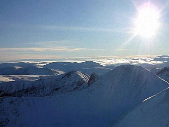
 The summit of Ben Nevis in The East Mounth - Glen Shee and Mount Keen to MontroseScotland
Photo: John Reed
Is there a Mountain, Peak, Top or Hill missing from the above google map or list?
Let us know an we will add it to our database.

To contribute to go4awalk.com or to contact us about anything at all - see Talk To Us.
For help see Help.
go4awalk.com and go4awalk.co.uk are registered trademarks of TMDH Limited.
Copyright © 2000-2025 TMDH Limited. All rights reserved.
Copyright Terms & Conditions Privacy Statement
A - Z Walks Home Log On/Accounts Photo Gallery Walk Ideas and Collections Fell Facts Hill Skills Walking Questions and Answers Your Stories News Competitions Product Reviews/Gear Tests Walking Gear Guides Peaks and Mountains Peak Bagging Find New Walking Friends Camping GPS Waypoints for Walking Contents Walk Search Talk To Us go4awalk.com Help Free Example Walks Newsletter


