A Google Peak Bagging Map of The Isle of Man
The Isle of Man is defined as the area of the crown dependency of The Isle of Man and includes The Isle of Man itself, Calf of Man, St Michael's Isle or Fort Island, St Patrick's Isle, Kitterland, St Mary's Isle and Chicken Rock.
If you include the Deweys, the Marilyns and all the Mountains, Tops, Peaks and Hills with a Trig Point on them there are 6 tops to climb, bag & conquer and the highest point is Snaefell at 621m (2,038ft).
To see these Mountains, Peaks, Tops and Hills displayed in different ways - see the options in the left-hand column and towards the bottom of this page.
![]() Your Personal Bagging Record for The Isle of Man
Your Personal Bagging Record for The Isle of Man
LOG ON and RELOAD this page to show which Mountains, Peaks, Tops and Hills you have already climbed, bagged & conquered [. . . more details]
NB. If a Google Map does not appear below, or the icons do not respond, click here to refresh the page. If that doesn't work, try deleting your browser's cache.
View these 6 tops:
- On an Interactive Google Map with a list of tops below it
- On a Detailed List
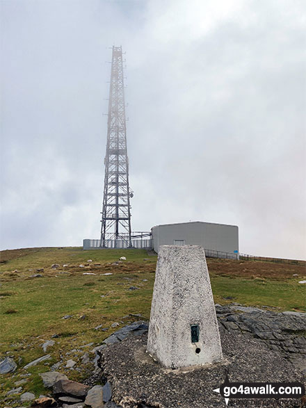 Snaefell in The Isle of ManIsle of Man
Photo: Mark Davidson
Is there a Mountain, Peak, Top or Hill missing from the above google map or list?