Walks Routes Maps from Longshaw Country Park in The White Peak Area, The Peak District, Derbyshire in Walk Grade Order
Route maps for Walks that start, or go through, Longshaw Country Park in The White Peak Area, The Peak District, Derbyshire, England in Walk Grade Order
Details of refreshments, pubs & parking are included on each Longshaw Country Park walk description.
   |
Vital Statistics:
| Length: | 5 miles (8 km) |
| Ascent: | 485ft (148m) |
| Time: | 2½ hrs |
| Grade: |  |
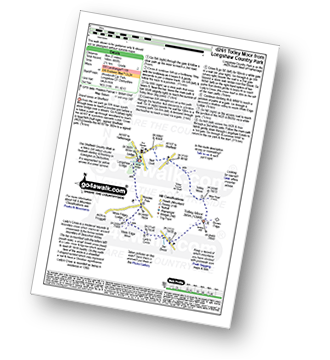
Route Summary:
Longshaw Country Park - Woodcroft Car Park - The Fox House Inn - Sheffield Country Walk - Nell Croft - Totley Moss - Totley Moor - Bar Brook - Lady's Cross (White Edge Moor) - White End Lodge - Wooden Pole - Longshaw Country Park
|
Vital Statistics:
| Length: | 4.5 miles (7 km) |
| Ascent: | 804ft (245m) |
| Time: | 2½ hrs |
| Grade: |  |
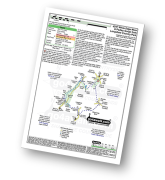
Route Summary:
Longshaw Country Park - Woodcroft Car Park - Wooden Pool - White Edge Moor - White Edge Lodge - Nether Padley - Oaks Wood - Grindleford Station - Padley Gorge - Lawrence Field - Burbage Brook - Granby Barn - Granby Wood - Longshaw Pond - Longshaw Country Park
|
Vital Statistics:
| Length: | 5.5 miles (8.5 km) |
| Ascent: | 1,007ft (307m) |
| Time: | 3 hrs |
| Grade: |  |
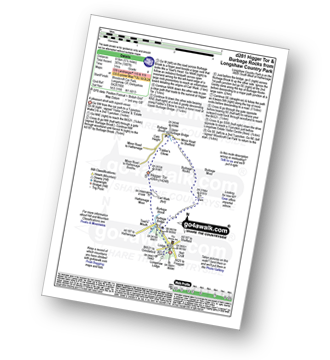
Route Summary:
Longshaw Country Park - Woodcroft Car Park - Burbage Brook - Burbage Bridge - Toad's Mouth - Hathersage Moor - Carl Wark - Higger Tor - Upper Burbage Bridge - Burbage Moor - Burbage Rocks - Longshaw Country Park
|
Vital Statistics:
| Length: | 8.5 miles (13.5 km) |
| Ascent: | 896ft (273m) |
| Time: | 4 hrs |
| Grade: | |
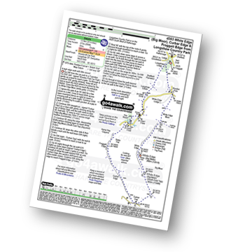
Route Summary:
Longshaw Country Park - Woodcroft Car Park - Wooden Pole - White Edge Moor - White Edge (Big Moor) - White Edge (Big Moor) (South East Top) - Curbar Gap - Curbar Edge - Froggatt Edge - Hay Wood - Longshaw Estate - Sheffield Plantation - Longshaw Lodge - Longshaw Country Park
|
Vital Statistics:
| Length: | 7.5 miles (12 km) |
| Ascent: | 1,467ft (447m) |
| Time: | 4.25hrs |
| Grade: |  |
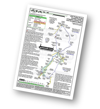
Route Summary:
Grindleford Station - Padley Gorge - Lawrence Field - Toad's Mouth - Hathersage Moor - Carl Wark - Higger Tor - Fiddler's Elbow - Upper Burbage Bridge - Burbage Moor - Burbage Rocks - Longshaw Country Park - Sheffield Plantation - Nether Padley - Oaks Wood - Grindleford Station
See more easy-to-follow circular walks in The Peak District
See more easy-to-follow circular walks in Derbyshire


