   |
Vital Statistics:
| Length: | 14mls (22.5km) |
| Ascent: | 3,207ft (977m) |
| Time: | 8½hrs |
| Grade: |  |
Route outline for walk ny322:
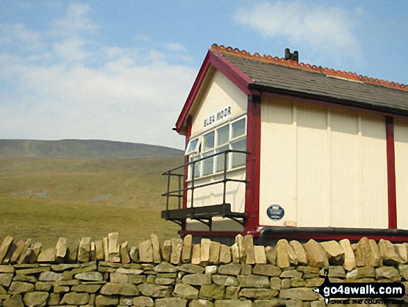
Horton in Ribblesdale - Railway Station - Train Journey - Ribblehead Railway Station - Ribblehead - Blea Moor - Whernside - Broadrake Farm - Ribblehead - Blea Moor - Whernside - Broadrake Farm - Chapel-le-Dale - Braithwaite Wife Hole - Ingleborough - Pen-y-ghent Cafe - Horton in Ribblesdale.
Points of Interest/Notes on this walk:
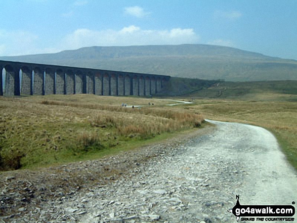
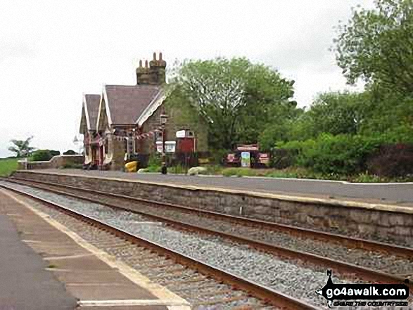
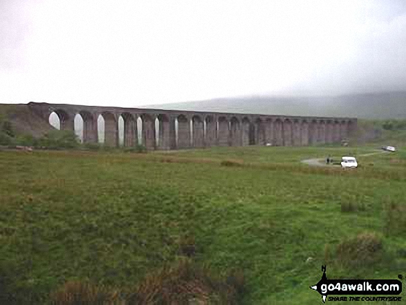
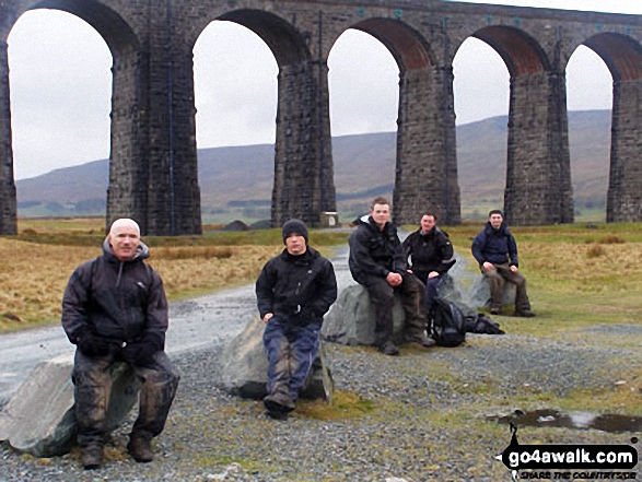
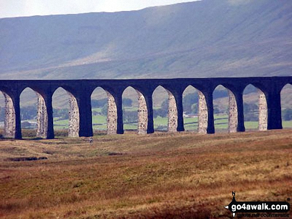
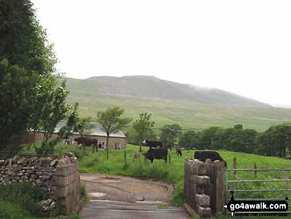
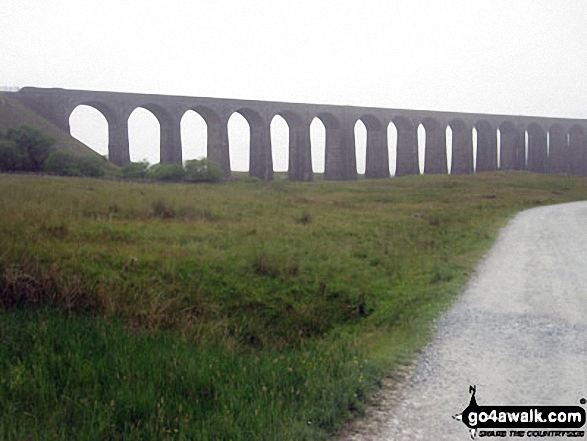
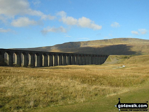
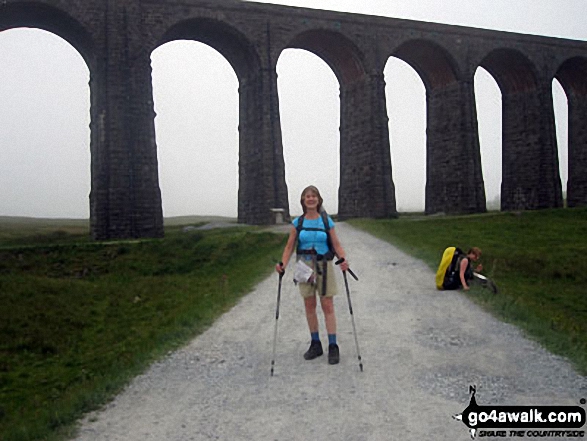
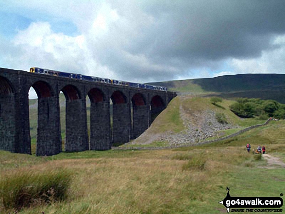
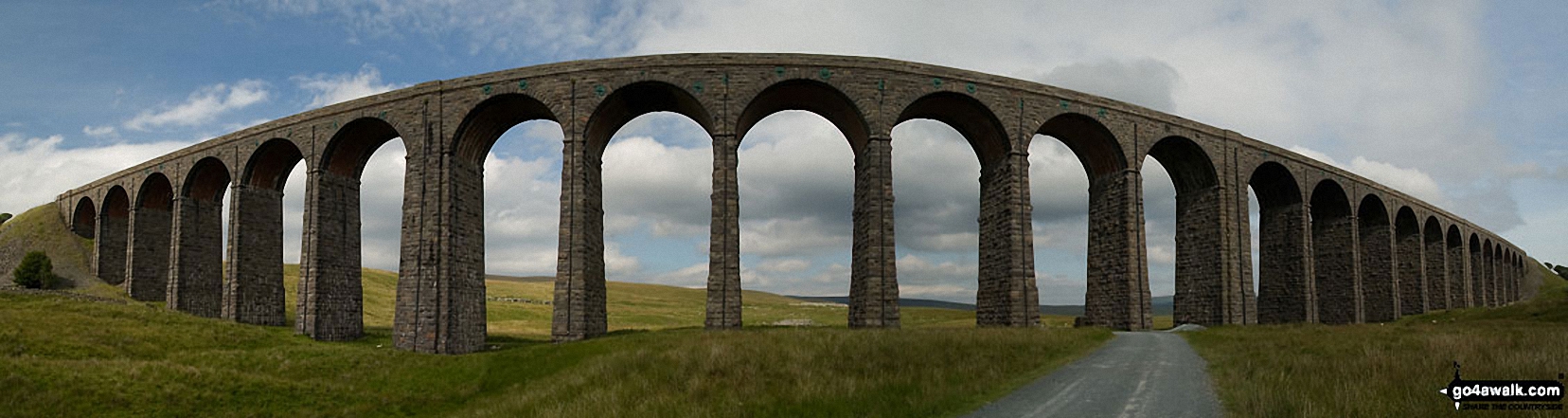
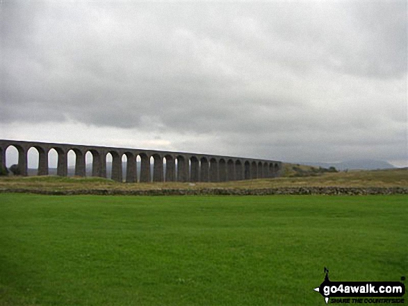
The Ribblehead Viaduct's 24 arches carry the famous Settle to Carlisle Railway Line for 400m some 30m above the surrounding countryside. Considered one of the great engineering feats of the 19th Century, there is a museum dedicated to the history of the line housed in Ribblehead Station.
Peaks, Summits and Tops reached on this walk:
 2 English Mountains |
 0 Wainwrights |
 2 English Nuttalls |
 0 English Deweys |
 0 Wainwright Outlying Fells |
 2 Marilyns |
 0 Bridgets |
Peak Bagging Statistics for this walk:
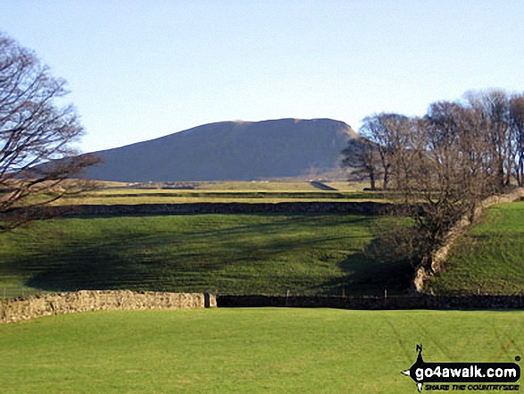
The highest point of this walk is Whernside at 736m (2416ft). Whernside is classified as an English Mountain (Hewitt) (76th highest in England, 131st highest in England & Wales)
Whernside is also known as an English Nuttall (95th highest in England, 162nd highest in England & Wales) and an English Marilyn (25th highest in England, 513th highest in the UK).
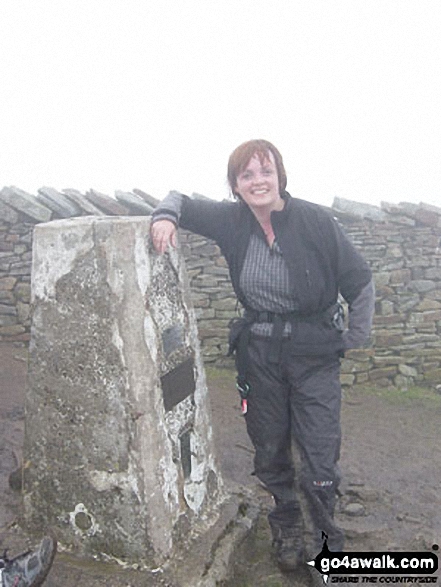
The summit of Whernside is marked by an Ordnance Survey Trig Point. Whernside is the highest point in The Yorkshire Dales National Park and the highest point in the county of North Yorkshire.
Completing this walk will also take you to the top of Ingleborough at 724m (2375ft). Ingleborough is classified as an English Mountain (Hewitt) (83rd highest in England, 144th highest in England & Wales)
Ingleborough is also known as an English Nuttall (104th highest in England, 178th highest in England & Wales) and an English Marilyn (26th highest in England, 540th highest in the UK).
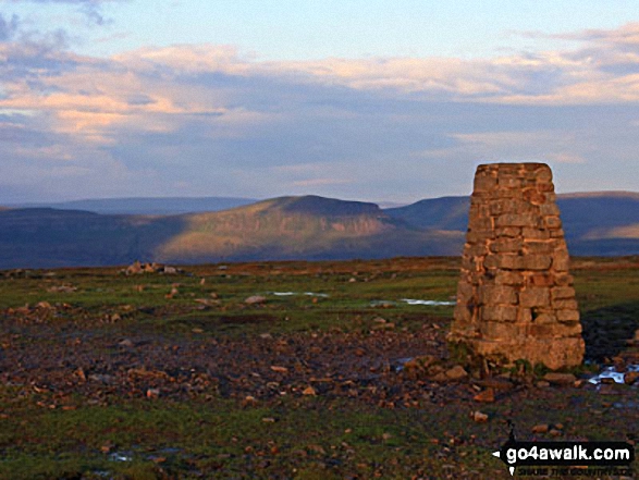
The summit of Ingleborough is marked by an Ordnance Survey Trig Point.
You can find more walks near this one on these unique free-to-access Interactive Walk Planning Maps: (click/TAP to select)
1:25,000 scale OS Explorer Map (the ones with orange/yellow covers):
1:50,000 scale OS Landranger Map (the ones with pink/magenta covers):
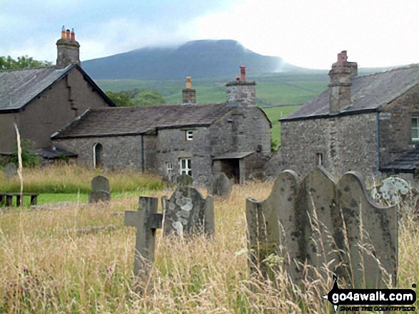
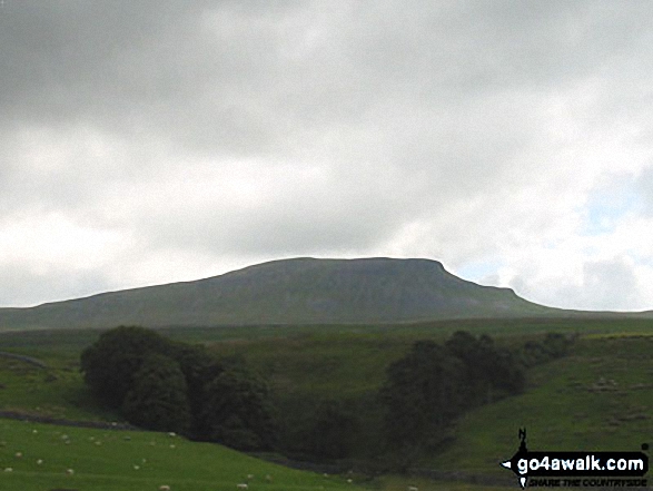
Some Photos and Pictures from Walk ny322 The Yorkshire Three Peaks Challenge as a 2 day walk - Day 2 from Horton in Ribblesdale
In no particular order . . .
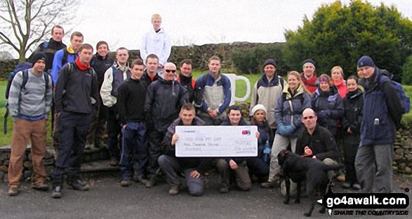
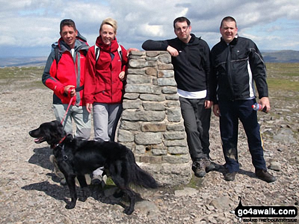
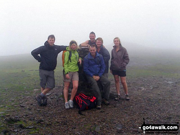
Myself, Paul Baldry, Max the Dog, Jenny Baldry, Tom Evans and Martin Brown on top of Ingleborough.
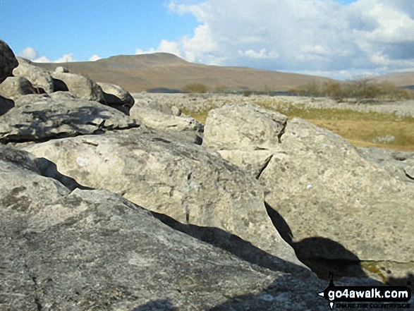
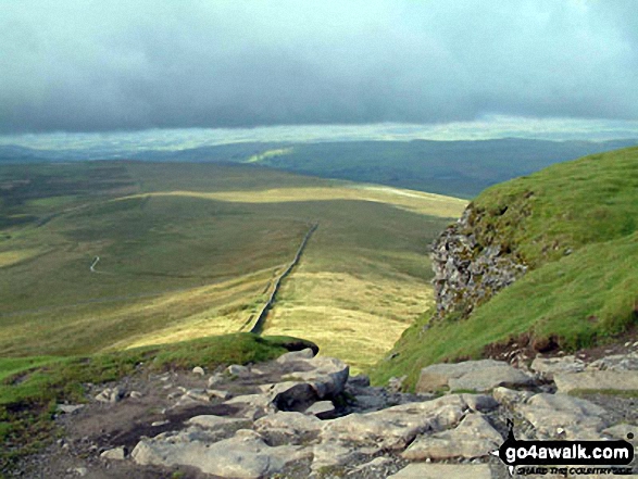
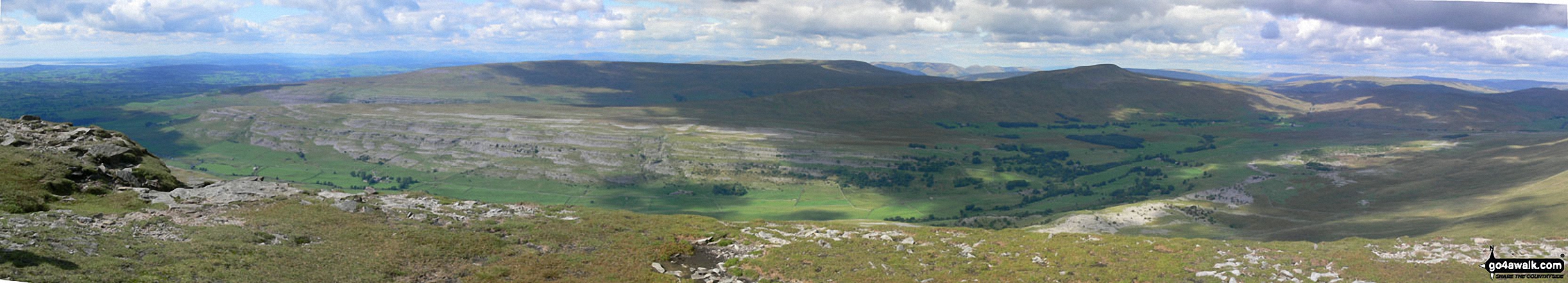
Whernside (left), The Ribblehead Viaduct (centre) and Park Fell (right) from the summit of Ingleborough
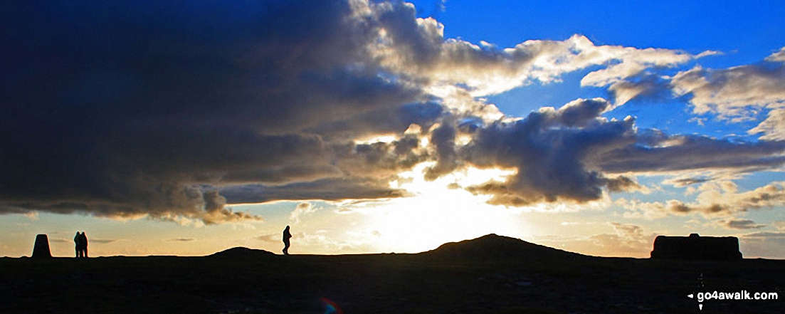
At the top of Ingleborough - with Whernside (left) and Pen-y-ghent (right) in the distance. The Yorkshire 3 Peaks Challenge Walk completed!
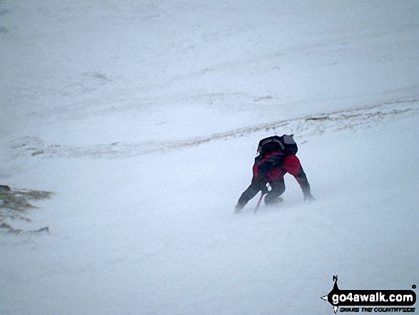
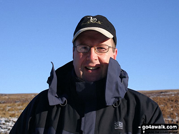
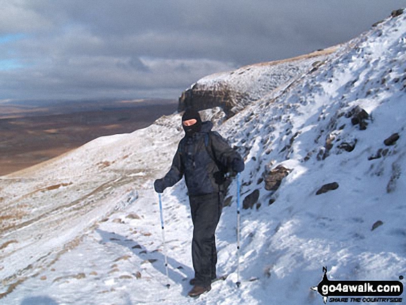
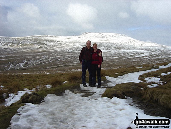
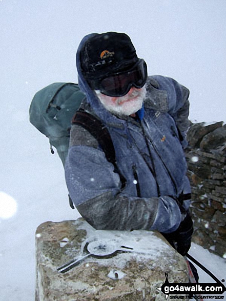
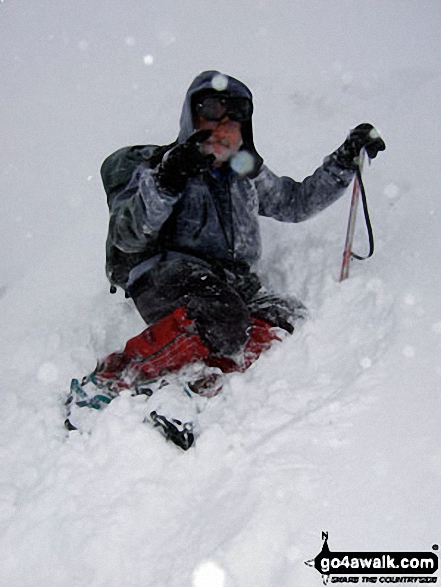
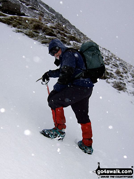
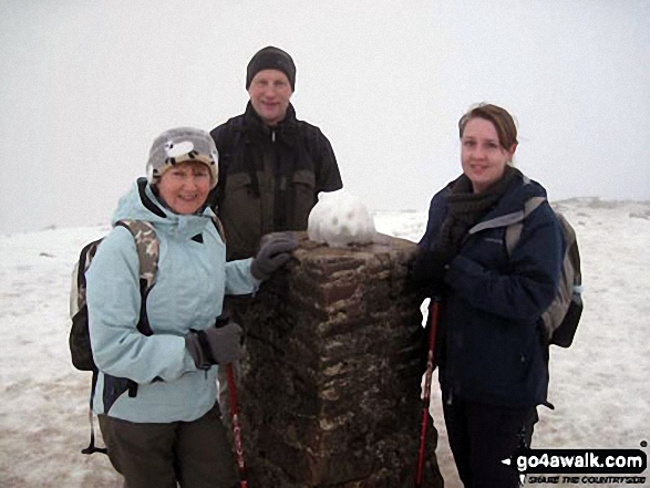
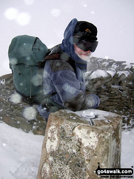
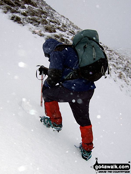
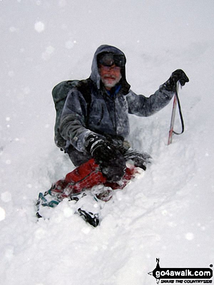
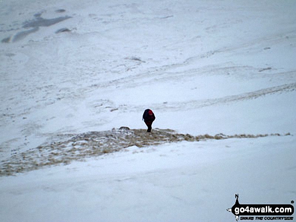
Mike (go4awalk.com editor) practising his crampons and ice-axe technique in the snow on Whernside

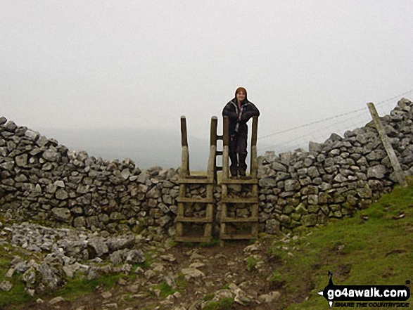
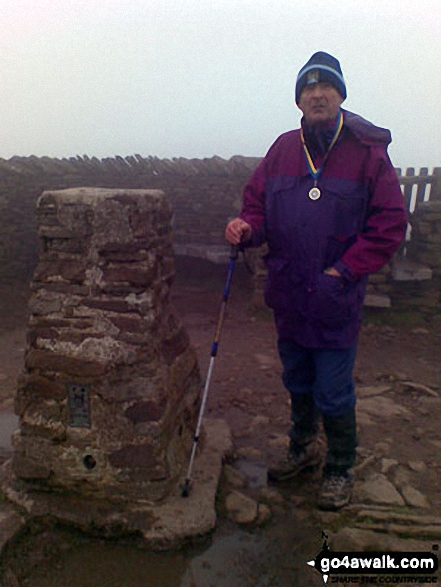
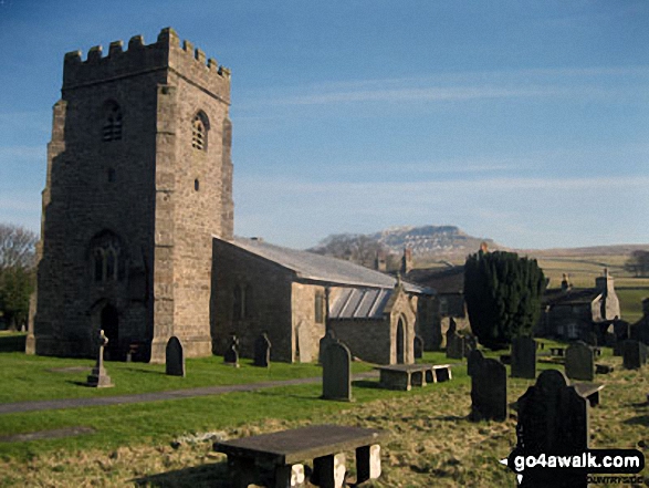
The final stile in Horton in Ribblesdale at the end of the Yorkshire Three Peaks of Challenge Walk
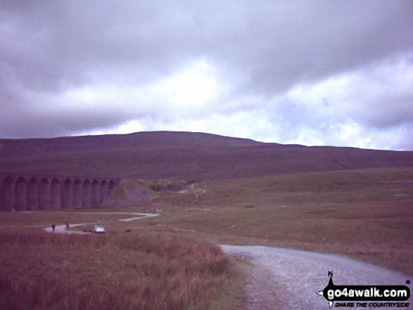
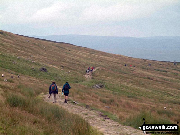
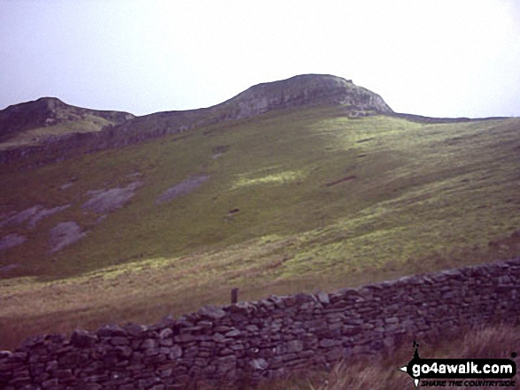
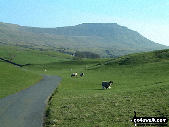
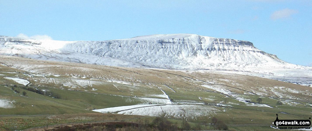
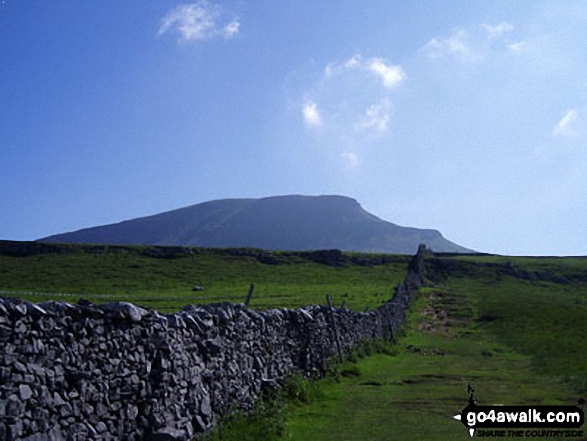
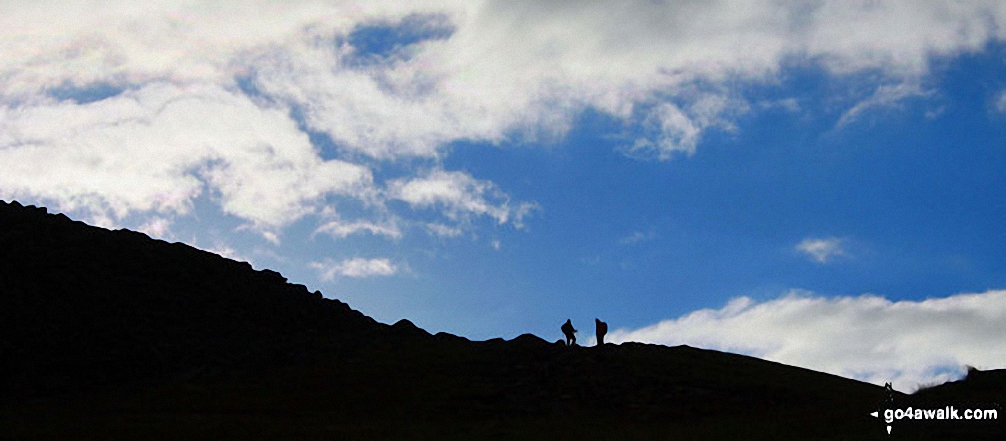
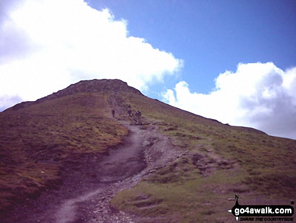
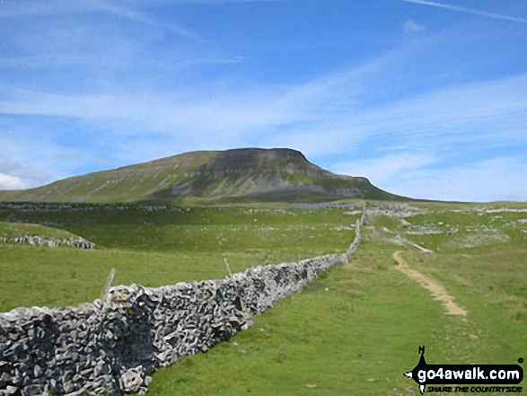
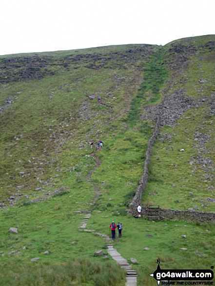
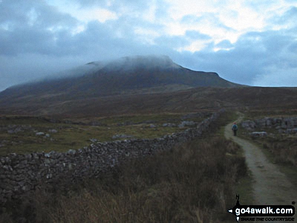
The Yorkshire Three Peaks Challenge - approaching Whernside from Ribblehead
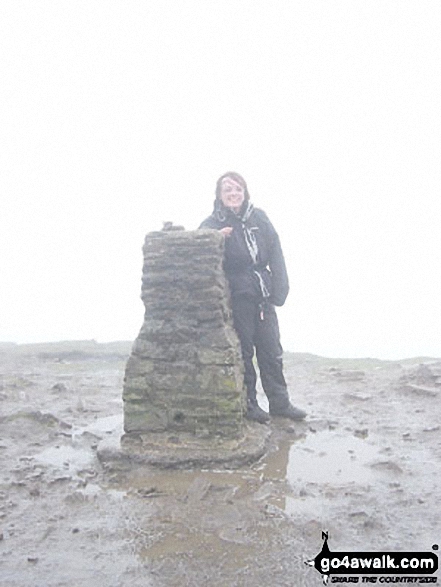
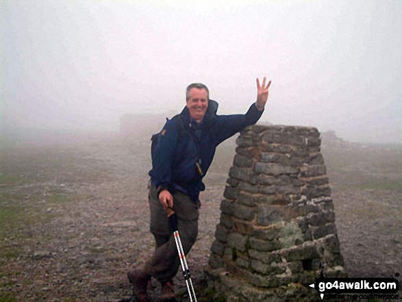
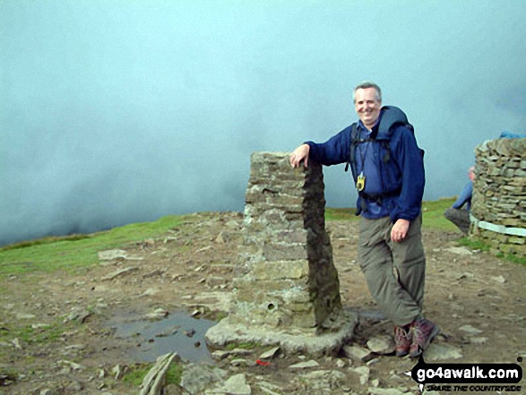
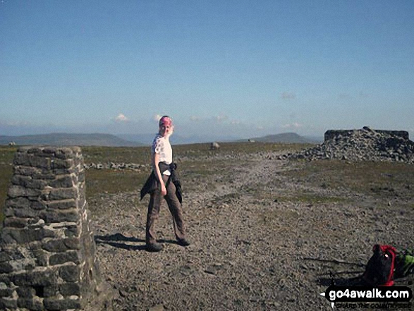
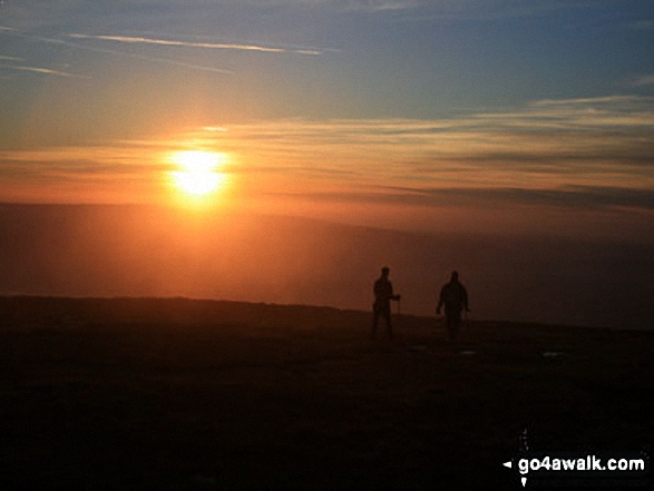
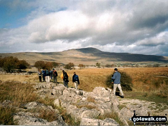
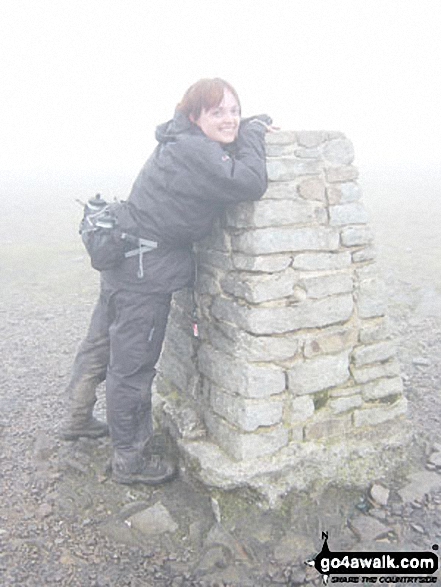
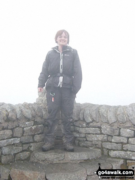
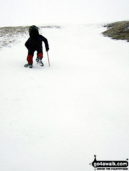
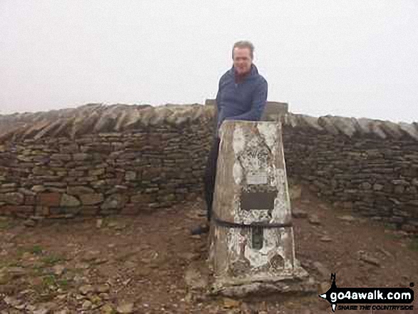
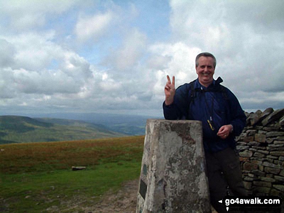
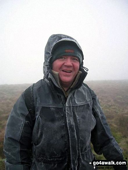
On Whernside Summit - taking a breather two thirds of the way round the Yorkshire Three Peaks Challenge Walk
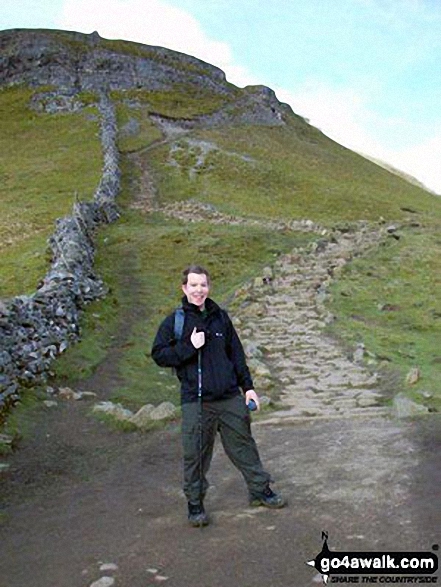
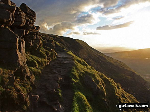
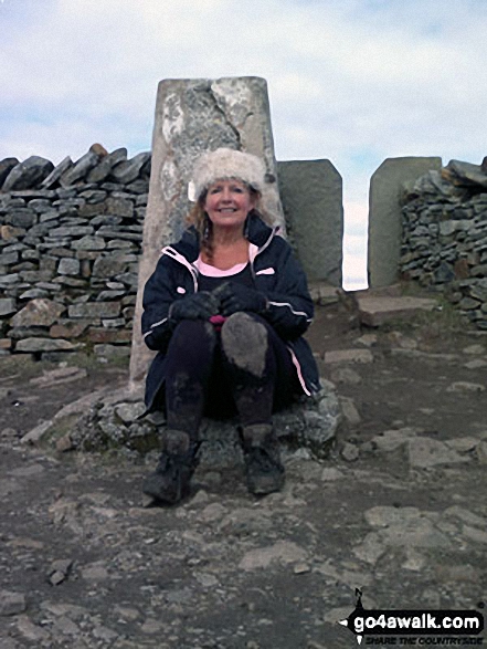
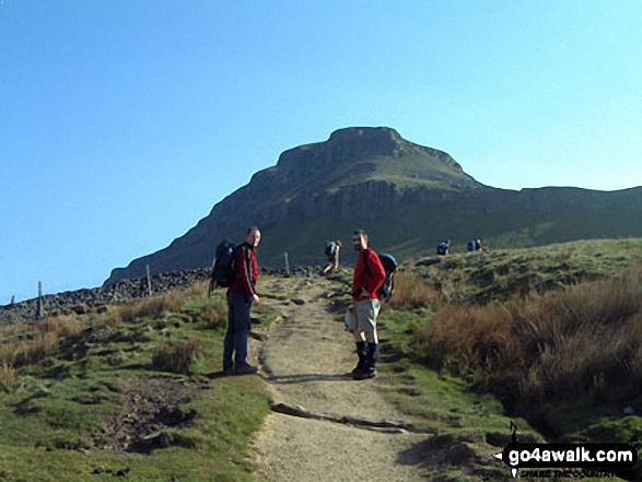
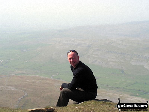
Me on Gavel Rigg just below the top of Pen-y-ghent, one of the Three Yorkshire Peaks
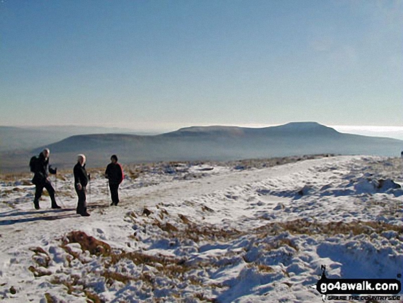
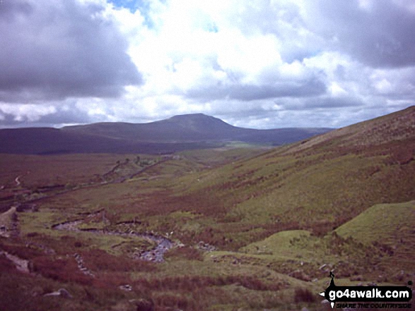
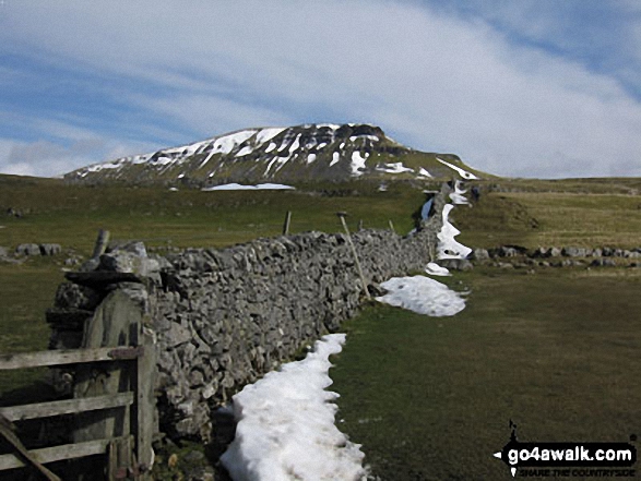
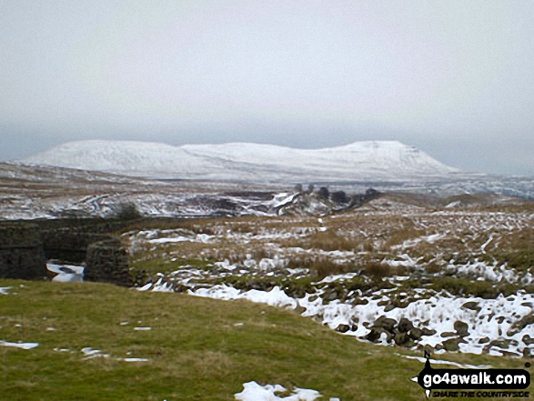
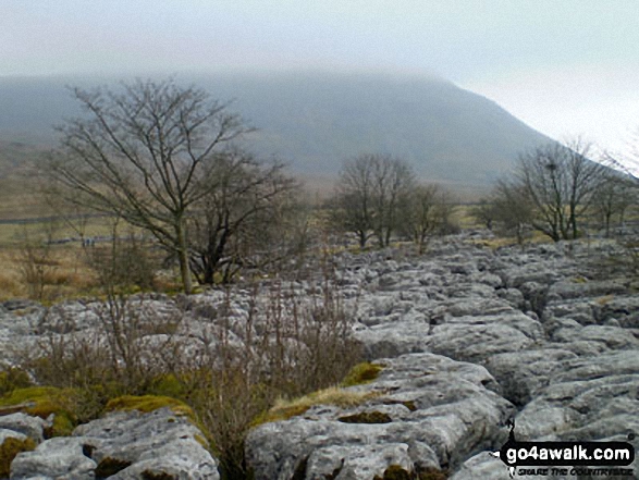
Park Fell (left), Simon Fell and Ingleborough (right) from the summit of Whernside while doing the Yorkshire Three Peaks Challenge Walk in the snow
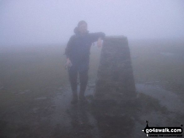
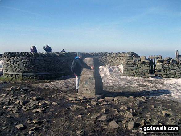
Ingleborough summit shelter during the Yorkshire Three Peaks of Challenge Walk

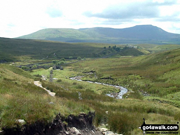
Heading for Whernside from Ribblehead on The Yorkshire Three Peaks Challenge

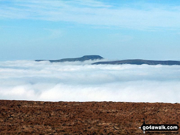
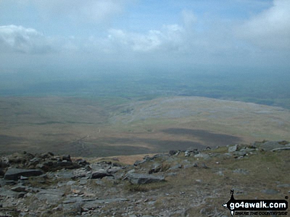
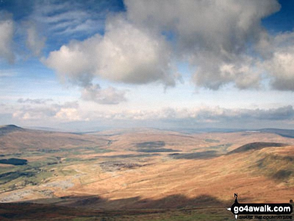
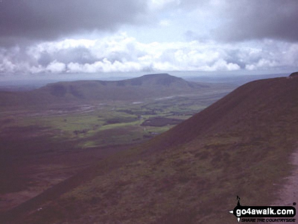
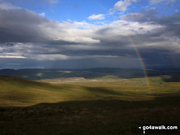
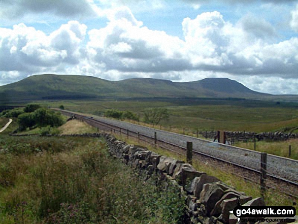
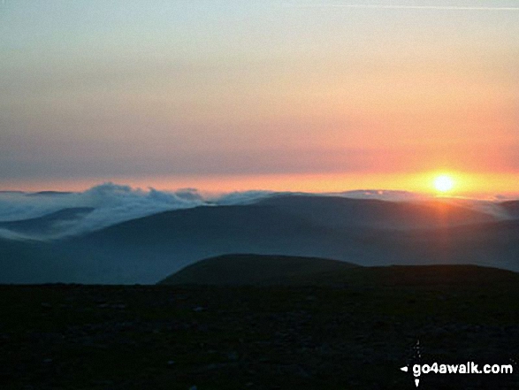
Ingleborough and Simon Fell as seen from Pen-y-Ghent during temperature inversion
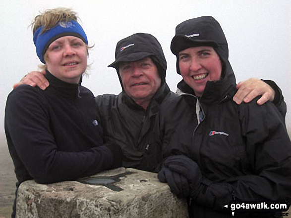
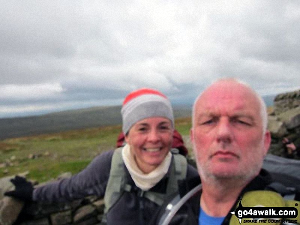
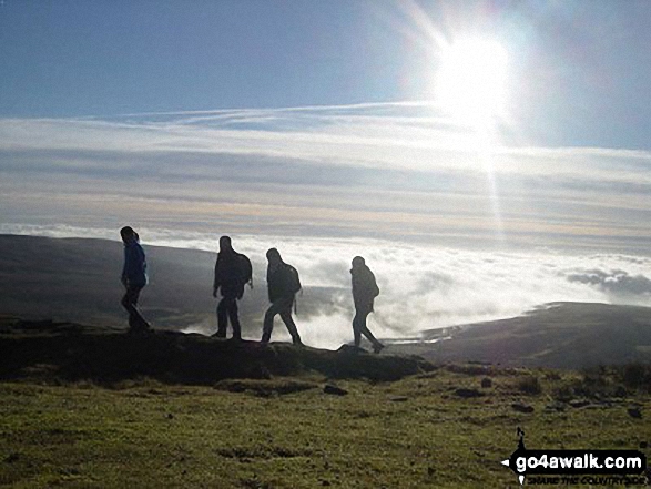
Hayley Me and Jo on top of Whernside Summit - giving the Yorkshire Three Peaks Challenge Walk another bash
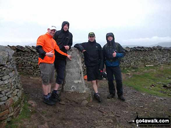
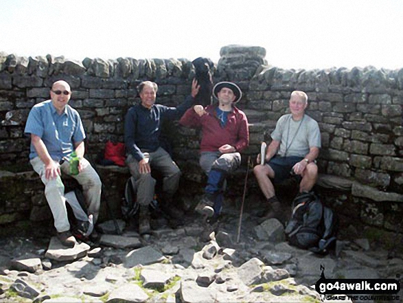
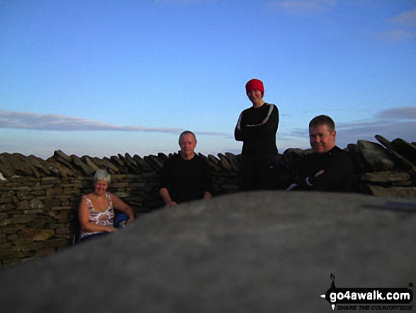
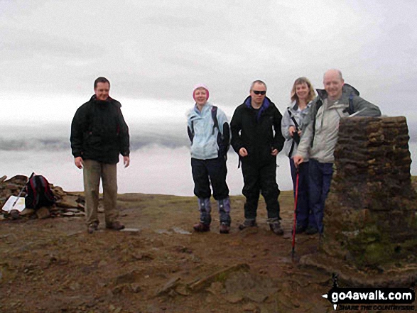
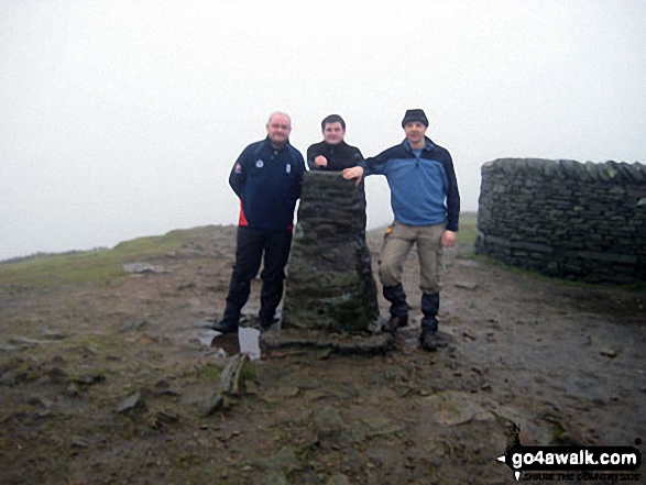
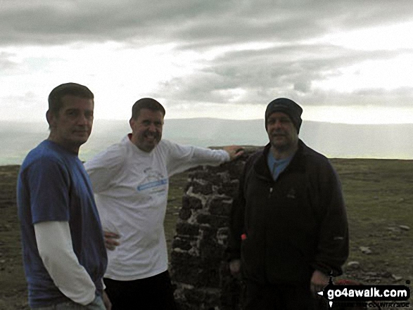
Phil, Carl, Chris and Charlie - 1st time Yorkshire 3 Peakers at Whernside summit
Send us your photographs and pictures from your walks and hikes
We would love to see your photographs and pictures from walk ny322 The Yorkshire Three Peaks Challenge as a 2 day walk - Day 2 from Horton in Ribblesdale. Send them in to us as email attachments (configured for any computer) along with your name and where the picture was taken to:
and we shall do our best to publish them.
(Guide Resolution = 300dpi. At least = 660 pixels (wide) x 440 pixels (high).)

You can also submit photos from walk ny322 The Yorkshire Three Peaks Challenge as a 2 day walk - Day 2 from Horton in Ribblesdale via our Facebook Page.
NB. Please indicate where each photo was taken.

To contribute to go4awalk.com or to contact us about anything at all - see Talk To Us. For help see Help.
go4awalk.com and go4awalk.co.uk are registered trademarks of TMDH Limited.
Copyright © 2000-2025 TMDH Limited. All rights reserved.
Copyright Terms & Conditions Privacy Statement
A - Z Walks Home Log On/Accounts Photo Gallery Walk Ideas and Collections Fell Facts Hill Skills Walking Questions and Answers Your Stories News Competitions Product Reviews/Gear Tests Walking Gear Guides Peaks and Mountains Peak Bagging Find New Walking Friends Camping GPS Waypoints for Walking Contents Walk Search Talk To Us go4awalk.com Help Free Example Walks Newsletter


