   |
Vital Statistics:
| Length: | 5½mls (9km) |
| Ascent: | 499ft (152m) |
| Time: | 2½hrs |
| Grade: |  |
Route outline for walk no100:
Badby - Arbury Hill - Upper Catesby - Longridge Farm - Staverton Lodge - Badby
Peaks, Summits and Tops reached on this walk:
 0 English Mountains |
 0 Wainwrights |
 0 English Nuttalls |
 0 English Deweys |
 0 Wainwright Outlying Fells |
 0 Marilyns |
 1 Bridget |
Peak Bagging Statistics for this walk:
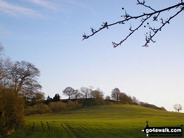
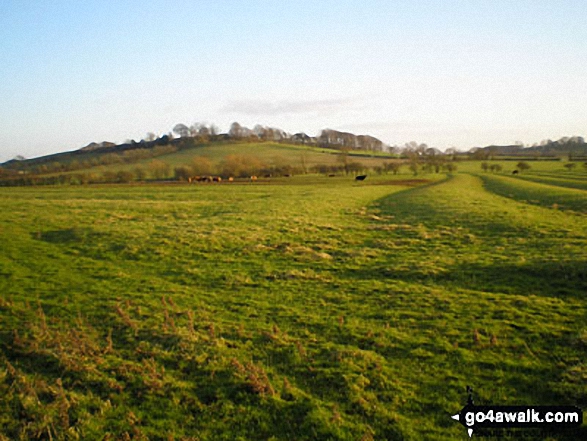
The highest point of this walk is Arbury Hill at 225m (738ft). Arbury Hill is known as an English Bridget. Arbury Hill is the highest point in the county of Northamptonshire. The summit itself is on private land.
Free-to-access Interactive Walk Planning Maps:
1:25,000 scale OS Explorer Maps (orange/yellow covers):
An Interactive Walk Planning Map for OS Explorer 206 Edge Hill & Fenny Compton is not currently available
An Interactive Walk Planning Map for OS Explorer 207 Newport Pagnell & Northampton South is not currently available
1:50,000 scale OS Landranger Maps (pink/magenta covers):
An Interactive Walk Planning Map for OS Landranger 151 Stratford-upon-Avon, Warwick & Banbury is not currently available
An Interactive Walk Planning Map for OS Landranger 152 Northampton & Milton Keynes, Buckingham & Daventry is not currently available
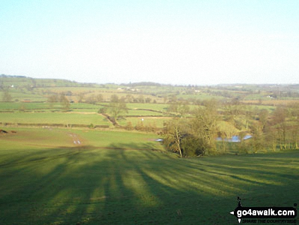
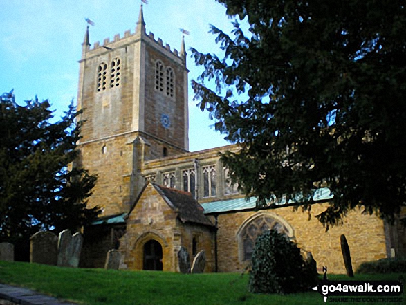
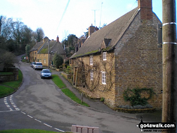
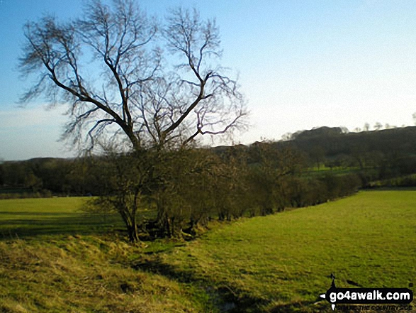
Some Photos and Pictures from Walk no100 Arbury Hill from Badby
In no particular order . . .
Send us your photographs and pictures from your walks and hikes
We would love to see your photographs and pictures from walk no100 Arbury Hill from Badby. Send them in to us as email attachments (configured for any computer) along with your name and where the picture was taken to:
and we shall do our best to publish them.
(Guide Resolution = 300dpi. At least = 660 pixels (wide) x 440 pixels (high).)

You can also submit photos from walk no100 Arbury Hill from Badby via our Facebook Page.
NB. Please indicate where each photo was taken.


