   |
Vital Statistics:
| Length: | 9½mls (15km) |
| Ascent: | 2,914ft (888m) |
| Time: | 6½hrs |
| Grade: |  |
Route outline for walk gw170:
Blaenau Ffestiniog - Trefeini - Maen-offeren Quarry - Moel Bowydd - Moel Penamnen - Foel-fras (Moel Penamnen) - Cwt-y-bugail Quarry - Manod Mawr (North Top) - Graig-ddu Slate Quarry - Manod Mawr - Nant Dwr-oer - Manod Bach - Nant Dwr-oer - Blaenau Ffestiniog
Peaks, Summits and Tops reached on this walk:
 3 Welsh Mountains |
 0 Wainwrights |
 3 Welsh Nuttalls |
 2 Welsh Deweys |
 0 Wainwright Outlying Fells |
 1 Welsh Marilyn |
 0 Bridgets |
Peak Bagging Statistics for this walk:
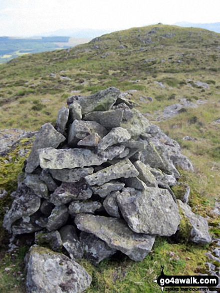
The highest point of this walk is Manod Mawr at 661m (2169ft). Manod Mawr is classified as a Welsh Mountain (Hewitt) (95th highest in Wales, 230th highest in England & Wales)
Manod Mawr is also known as a Welsh Nuttall (127th highest in Wales, 307th highest in England & Wales) and a Welsh Marilyn (45th highest in Wales, 674th highest in the UK).
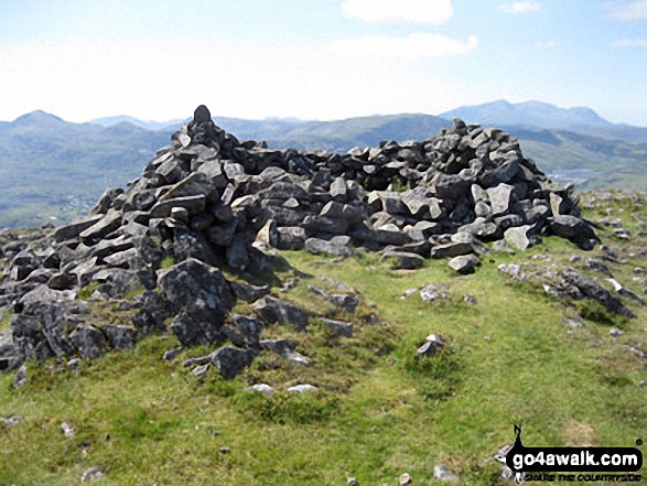
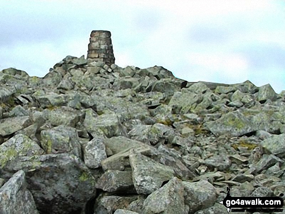
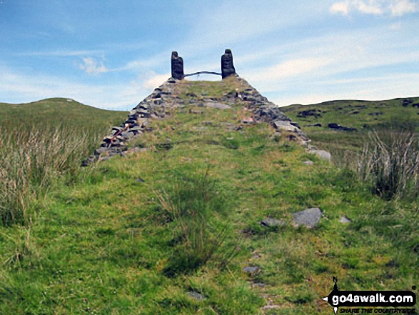
The summit of Manod Mawr is marked by an Ordnance Survey Trig Point.
Completing this walk will also take you to the top of Manod Mawr (North Top) at 658m (2160ft). Manod Mawr (North Top) is classified as a Welsh Mountain (Hewitt) (100th highest in Wales, 237th highest in England & Wales)
Manod Mawr (North Top) is also known as a Welsh Nuttall (134th highest in Wales, 316th highest in England & Wales).
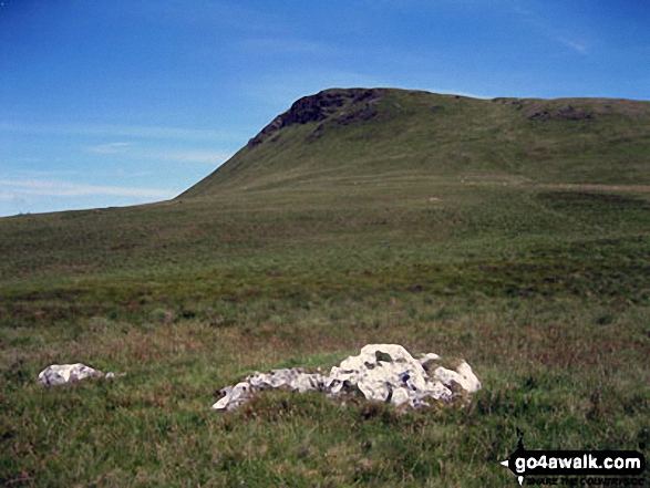
You will also reach the summit of Moel Penamnen at 628m (2061ft). Moel Penamnen is classified as a Welsh Mountain (Hewitt) (118th highest in Wales, 280th highest in England & Wales)
Moel Penamnen is also known as a Welsh Nuttall (163rd highest in Wales, 380th highest in England & Wales). The summit of Moel Penamnen is marked by an Ordnance Survey Trig Point.
Along the way you will also bag:
- Foel-fras (Moel Penamnen) at 586m (1923ft). Foel-fras (Moel Penamnen) is classified as a Welsh Dewey (37th highest in Wales, 60th highest in England & Wales). Foel-fras (Moel Penamnen) means 'Prominent Bare Hill' in Welsh.
- Manod Bach at 511m (1677ft). Manod Bach is classified as a Welsh Dewey (204th highest in Wales, 362nd highest in England & Wales).
You can find more walks near this one on these unique free-to-access Interactive Walk Planning Maps: (click/TAP to select)
1:25,000 scale OS Explorer Map (the ones with orange/yellow covers):
1:50,000 scale OS Landranger Map (the ones with pink/magenta covers):
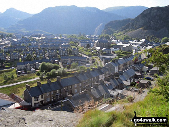
Some Photos and Pictures from Walk gw170 Moel Penamnen and Manod Mawr from Blaenau Ffestiniog
In no particular order . . .
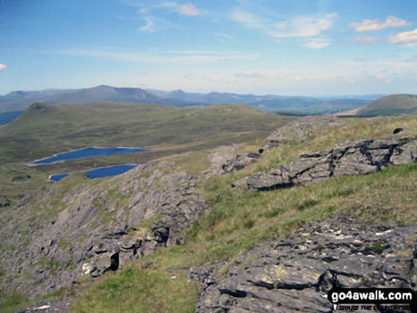
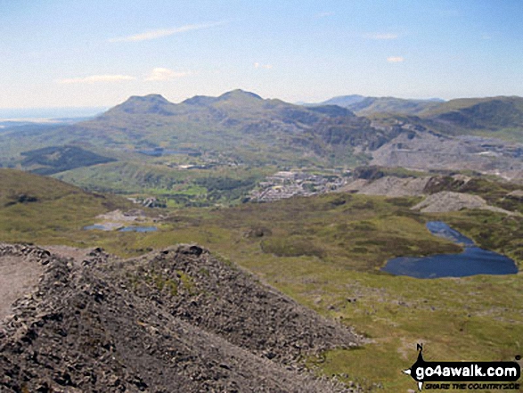
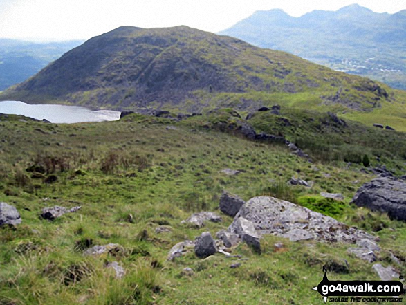
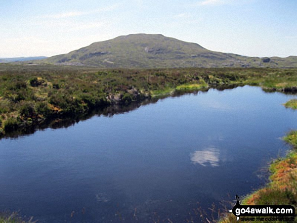
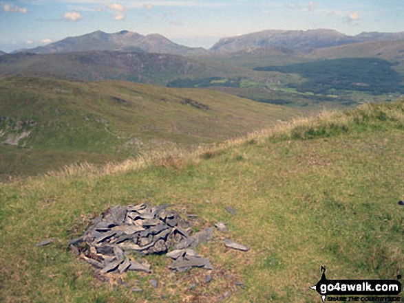
The Carneddau & Carnedd Moel Siabod (on horizon), Moel Penamnen (left) and Llyn Newydd & Llyn Bowydd (mid distance ) from Manod Mawr (North Top)
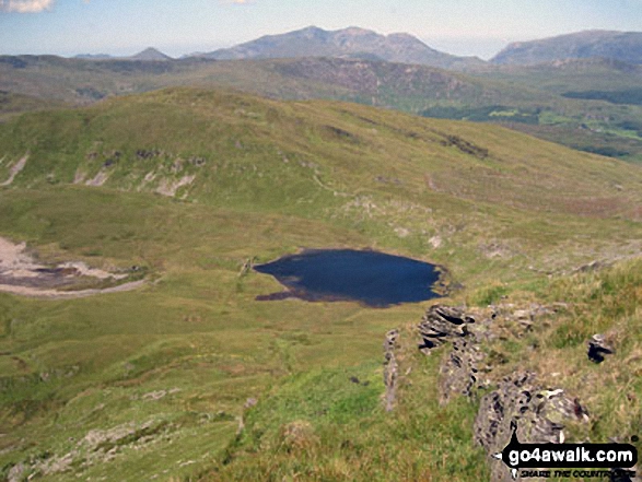
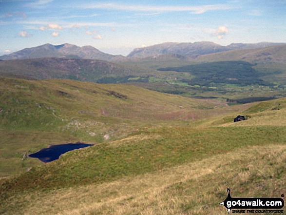
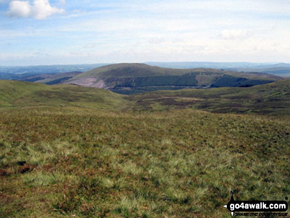
Llynnau Barlwyd (foreground), Moel Farlwyd (midground left), Yr Aran (pointed peak above Moel Farlwyd), Mount Snowdon (Yr Wyddfa) & Y Lliwedd from Moel Penamnen

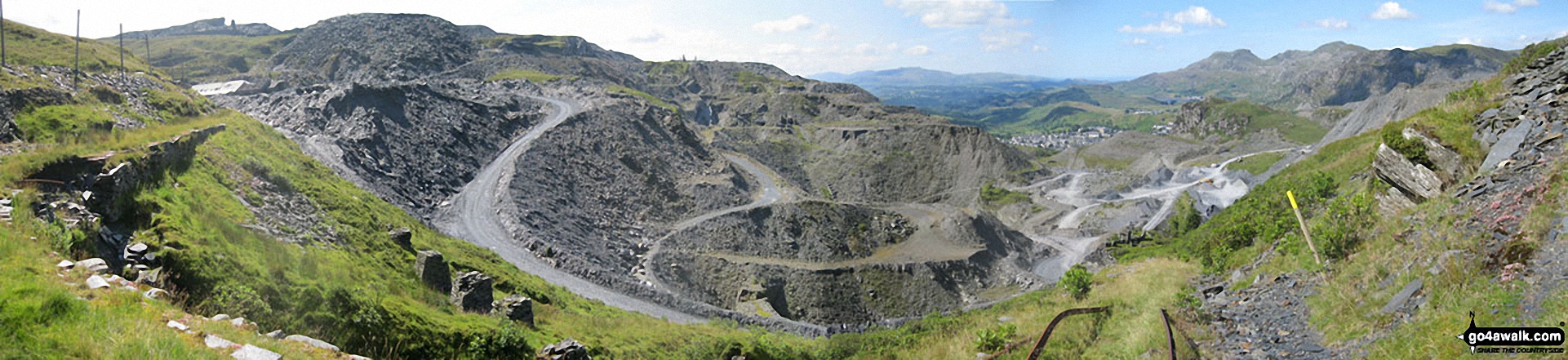
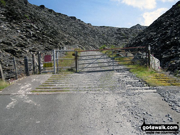
Maen-offeren Quarry from Drum House at the top of a disused incline with Arenig Fawr & Arenig Fach (on the horizon) and Moelwyn Bach, Craigysgafn and Moelwyn Mawr (mid-distance right)
Mount Snowdon (Yr Wyddfa) & Y Lliwedd (left) and The Glyderau - Glyder Fach, Glyder Fawr & Tryfan (right) from Moel Penamnen
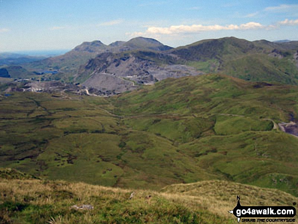
Moelwyn Bach, Craigysgafn, Moelwyn Mawr, Allt-fawr and Moel Druman from Manod Mawr (North Top) summit
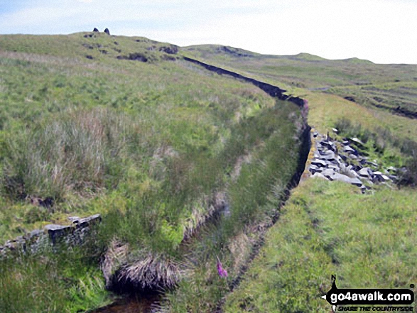
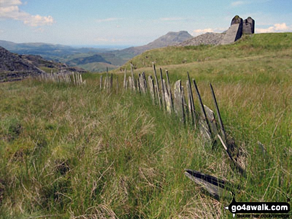
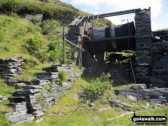
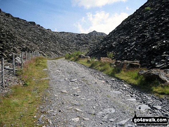
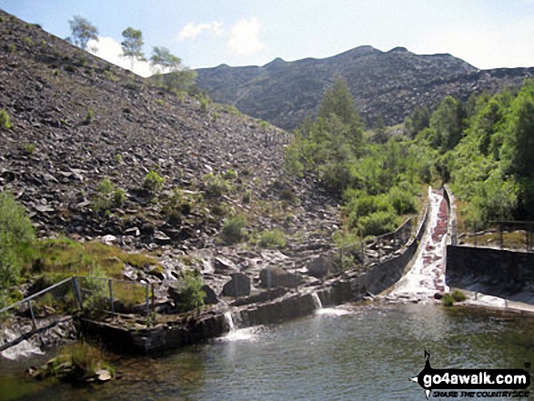
Water leat above the Drum House at the top of a disused incline in Maen-offeren Quarry leading to a 2nd Drum House on Moel Bowydd
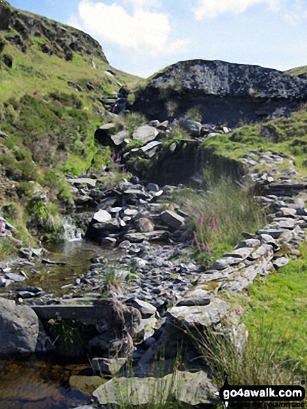
On Moel Bowydd above the Drum House at the top of a disused incline in Maen-offeren Quarry
Moelwyn Bach, Craigysgafn and Moelwyn Mawr from Drum House at the top of a disused incline in Maen-offeren Quarry

360 degree view from Moel Penamnen summit featuring (from left to right): The Moelwyns - Moelwyn Bach, Craigysgafn & Moelwyn Mawr, Allt-fawr, Moel Druman & Ysgafell Wen, Moel Farlwyd (foreground above/left of blue lake), Yr Aran (pointed peak above Moel Farlwyd), Mount Snowdon (Yr Wyddfa) & Y Lliwedd, The Glyderau - Glyder Fach, Glyder Fawr & Tryfan, Carnedd Moel Siabod, Y Ro Wen, Foel-fras (Moelwyns), Manod Mawr (above two light blue lakes) and The Arenigs - Arenig Fawr & Arenig Fach.
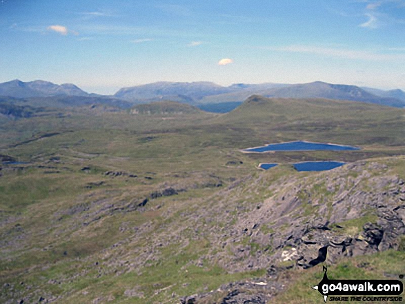
Mount Snowdon (Yr Wyddfa) & Y Lliwedd (left) and The Glyderau - Glyder Fach, Glyder Fawr & Tryfan (centre) and Carnedd Moel Siabod (right) with Moel Penamnen and Llyn Newydd & Llyn Bowydd (mid distance right) from the summit of Manod Mawr (North Top)
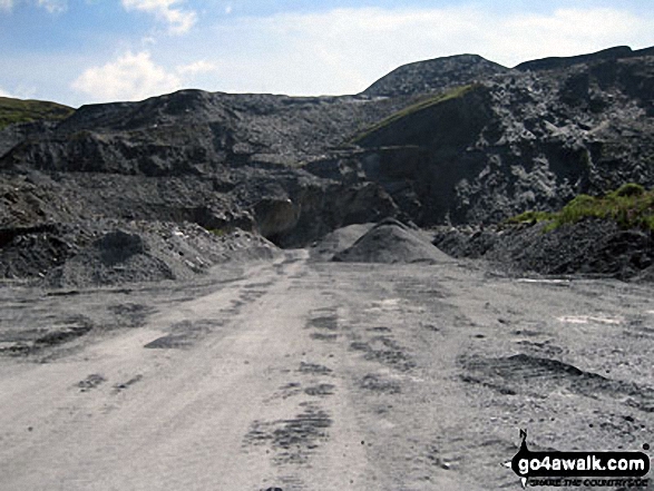
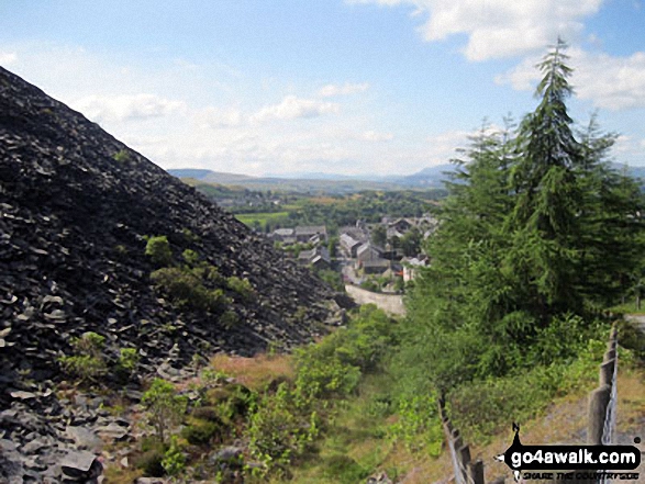
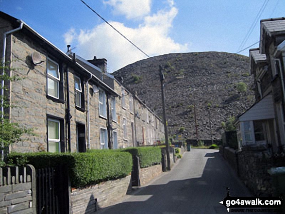
Moelwyn Bach, Craigysgafn and Moelwyn Mawr from Maen-offeren Quarry, Blaenau Ffestiniog
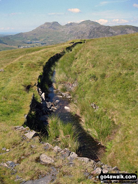
Moelwyn Bach, Craigysgafn and Moelwyn Mawr beyond the water leat on Moel Bowydd
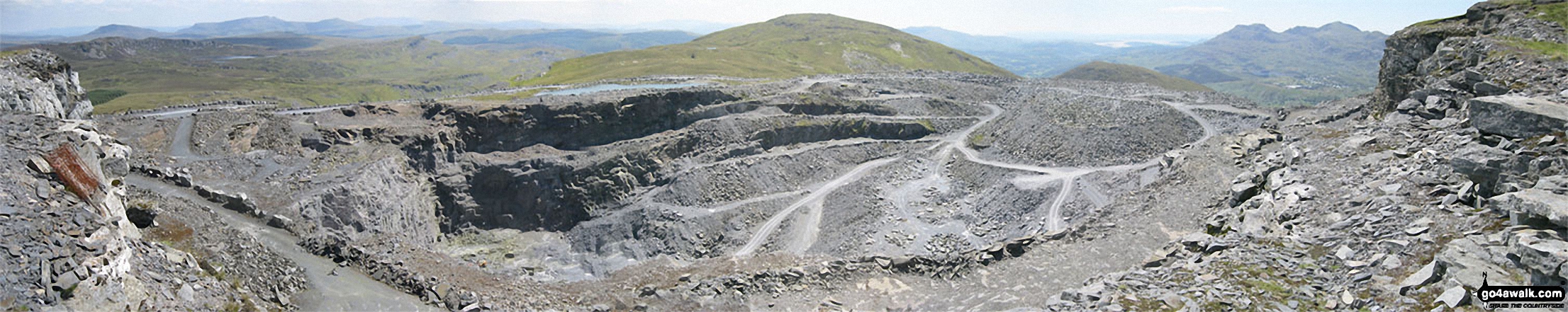
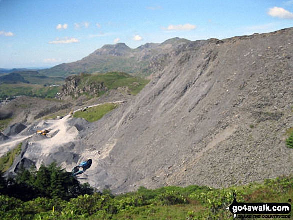
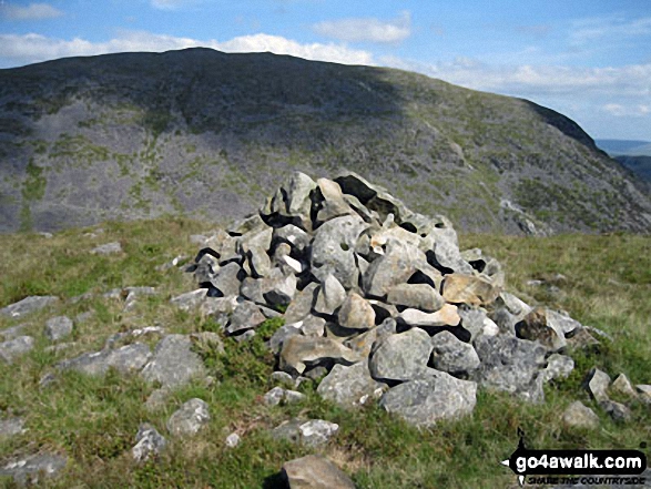
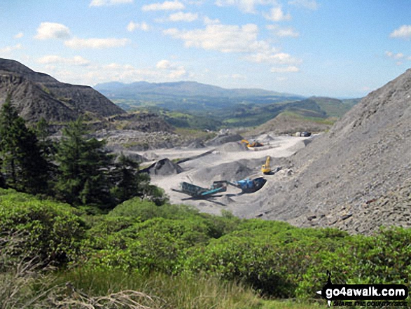
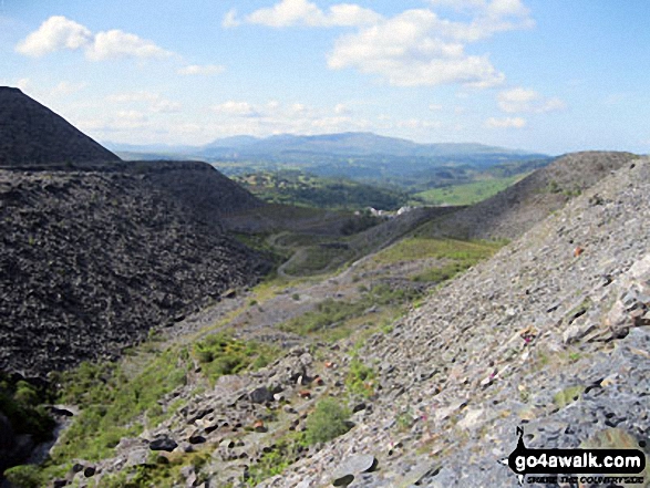
Manod Mawr beyond the huge Graig-ddu Slate Quarry from Manod Mawr (North Top)
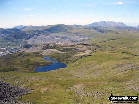
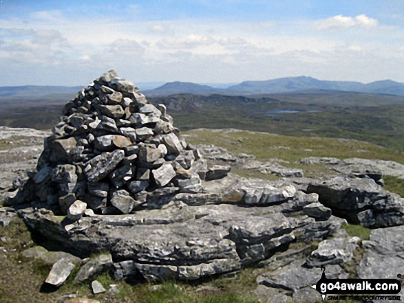
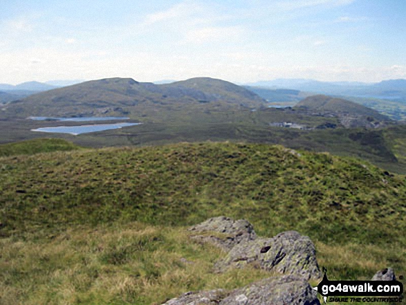
Llyn Du-bach & Maen-offeren Quarry (foreground) with Allt-fawr, Moel Druman, Ysgafel Wen in the distance and Yr Aran, Mount Snowdon (Yr Wyddfa) and Y Lliwedd on the horizon from the summit of Manod Mawr (North Top)
Moel Penamnen summit with Mount Snowdon (Yr Wyddfa) (left) and The Glyderau (Glyder Fach & Glyder Fawr) on the horizon
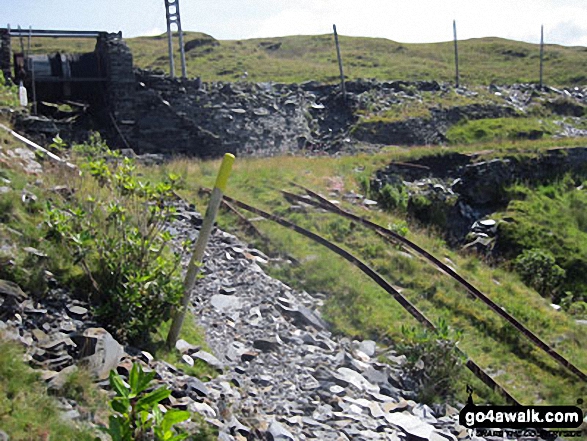
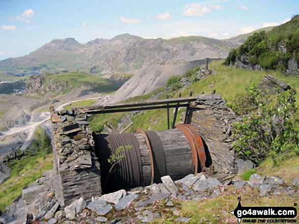
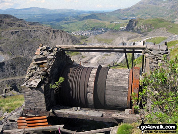
Drum House (with the drum and cable still attached) and rails on the disused incline at the top of Maen-offeren Quarry, Blaenau Ffestiniog
The Arenigs (Arenig Fawr & Arenig Fach) from Maen-offeren Quarry, Blaenau Ffestiniog
The Moelwyns - Moelwyn Bach, Craigysgafn & Moelwyn Mawr, Allt-fawr, Moel Druman & Ysgafell Wen from Moel Penamnen
Send us your photographs and pictures from your walks and hikes
We would love to see your photographs and pictures from walk gw170 Moel Penamnen and Manod Mawr from Blaenau Ffestiniog. Send them in to us as email attachments (configured for any computer) along with your name and where the picture was taken to:
and we shall do our best to publish them.
(Guide Resolution = 300dpi. At least = 660 pixels (wide) x 440 pixels (high).)

You can also submit photos from walk gw170 Moel Penamnen and Manod Mawr from Blaenau Ffestiniog via our Facebook Page.
NB. Please indicate where each photo was taken.

To contribute to go4awalk.com or to contact us about anything at all - see Talk To Us. For help see Help.
go4awalk.com and go4awalk.co.uk are registered trademarks of TMDH Limited.
Copyright © 2000-2025 TMDH Limited. All rights reserved.
Copyright Terms & Conditions Privacy Statement
A - Z Walks Home Log On/Accounts Photo Gallery Walk Ideas and Collections Fell Facts Hill Skills Walking Questions and Answers Your Stories News Competitions Product Reviews/Gear Tests Walking Gear Guides Peaks and Mountains Peak Bagging Find New Walking Friends Camping GPS Waypoints for Walking Contents Walk Search Talk To Us go4awalk.com Help Free Example Walks Newsletter


