   |
Vital Statistics:
| Length: | 9mls (14.5km) |
| Ascent: | 1,651ft (503m) |
| Time: | 5hrs |
| Grade: |  |
Route outline for walk du129:
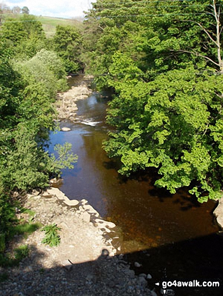
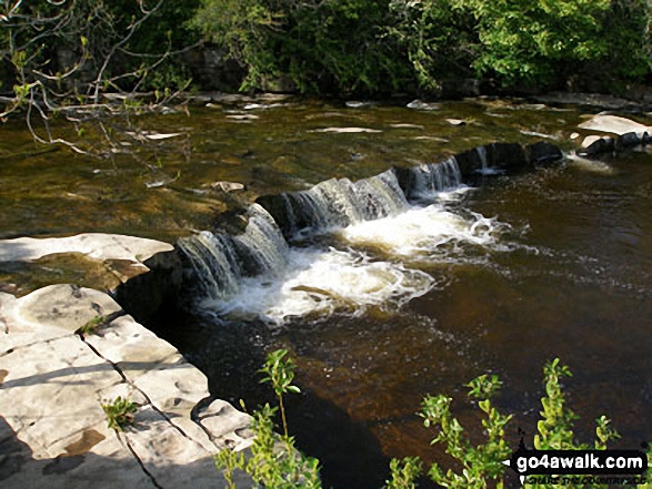
St John's Chapel - Thatch Mires - Chapelfell Top - Fendrith Hill - Swinhope Moor - Dora's Seat - Swinhope Head - Swinside House - Daddry Shield - River Wear - Weardale - The Weardale Way - St John's Chapel
Peaks, Summits and Tops reached on this walk:
 1 English Mountain |
 0 Wainwrights |
 2 English Nuttalls |
 0 English Deweys |
 0 Wainwright Outlying Fells |
 0 Marilyns |
 0 Bridgets |
Peak Bagging Statistics for this walk:
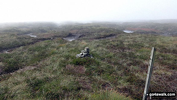
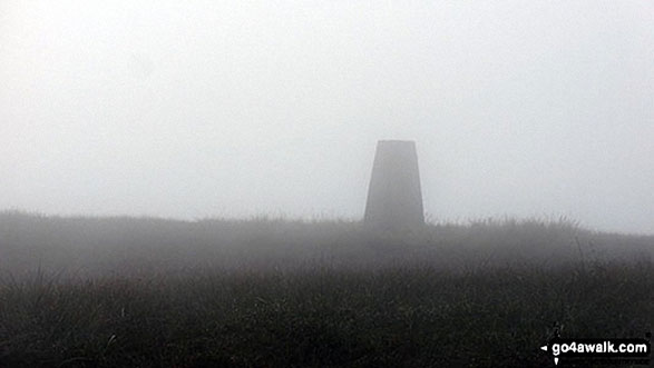
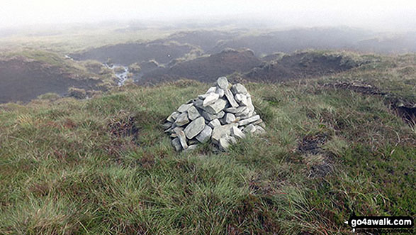
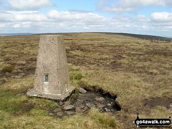
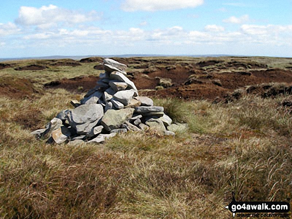
The highest point of this walk is Chapelfell Top at 700m (2298ft). Chapelfell Top is classified as an English Mountain (Hewitt) (105th highest in England, 173rd highest in England & Wales)
Chapelfell Top is also known as an English Nuttall (132nd highest in England, 218th highest in England & Wales).
Completing this walk will also take you to the top of Fendrith Hill at 697m (2287ft). Fendrith Hill is also known as an English Nuttall (137th highest in England, 226th highest in England & Wales). The summit of Fendrith Hill is marked by an Ordnance Survey Trig Point.
National Trails & Long Paths included on this walk:
Part of this walk follows a section of The Weardale Way, a 117km (73 miles) linear footpath connecting Roker in Tyne and Wear, England with Wearhead in County Durham, England. The Weardale Way is waymarked by named posts. For more walks that include a section of this trail see The Weardale Way.
You can find this walk and other nearby walks on these unique free-to-access Interactive Walk Planning Maps:
1:25,000 scale OS Explorer Map (orange/yellow covers):
1:50,000 scale OS Landranger Maps (pink/magenta covers):
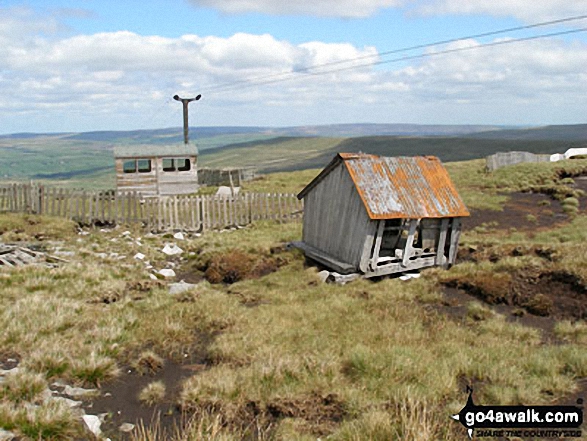
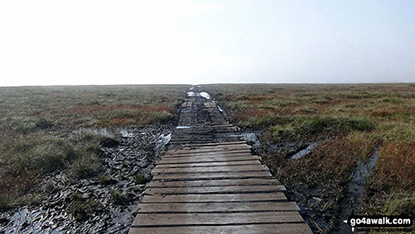
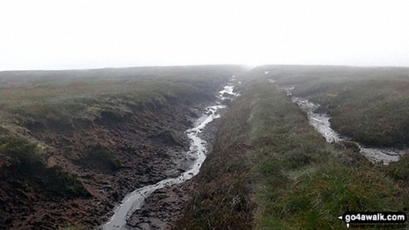
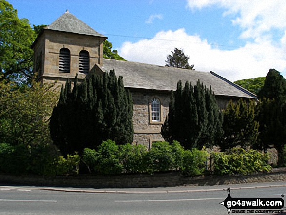
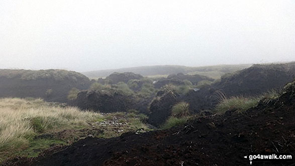
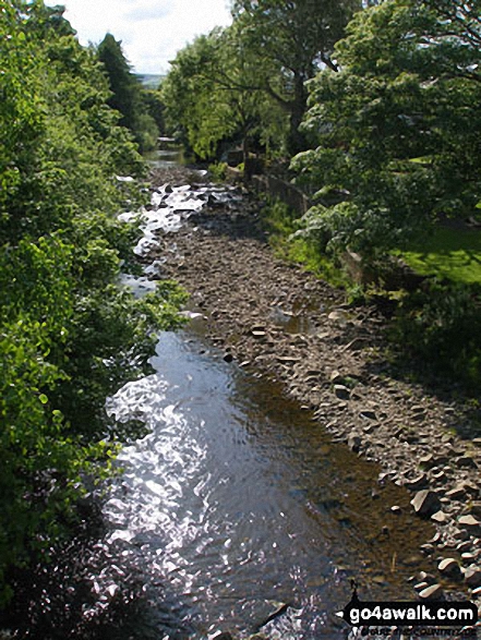
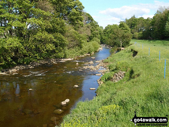
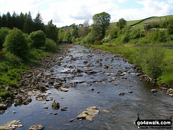
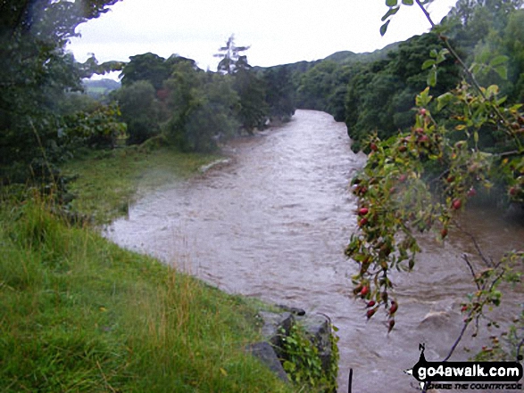
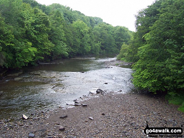
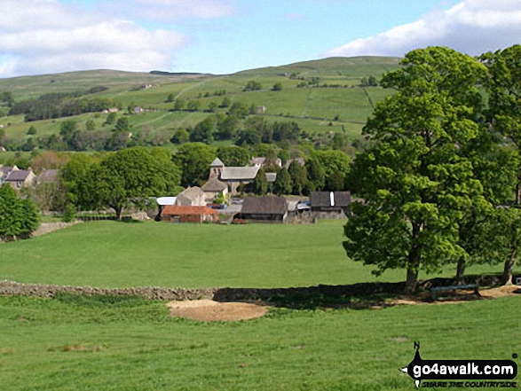
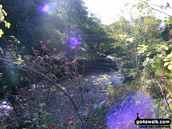
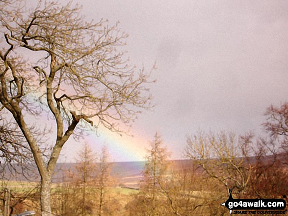
Some Photos and Pictures from Walk du129 Chapelfell Top from St John's Chapel
In no particular order . . .
. . . load all 28 walk photos from Walk du129 Chapelfell Top from St John's Chapel
Send us your photographs and pictures from your walks and hikes
We would love to see your photographs and pictures from walk du129 Chapelfell Top from St John's Chapel. Send them in to us as email attachments (configured for any computer) along with your name and where the picture was taken to:
and we shall do our best to publish them.
(Guide Resolution = 300dpi. At least = 660 pixels (wide) x 440 pixels (high).)

You can also submit photos from walk du129 Chapelfell Top from St John's Chapel via our Facebook Page.
NB. Please indicate where each photo was taken.


