   |
Vital Statistics:
| Length: | 5¼mls (8.5km) |
| Ascent: | 1,234ft (376m) |
| Time: | 3¼hrs |
| Grade: |  |
Route outline for walk do101:
Durdle Door Car Park - Daggers Gate - The Warren - Chaldon Down - The South West Coast Path - West Bottom - Middle Bottom - Bat's Hole - Bat's Head - The Jurassic Coast - Swyre Head - Scratchy Bottom - Durdle Door - Durdle Door Car Park
Points of Interest/Notes on this walk:
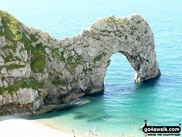
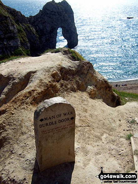
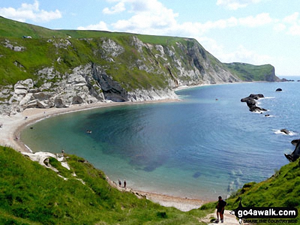
Durdle Door is a natural limestone arch some 61m (200ft) high.
Peaks, Summits and Tops reached on this walk:
 0 English Mountains |
 0 Wainwrights |
 0 English Nuttalls |
 0 English Deweys |
 0 Wainwright Outlying Fells |
 0 Marilyns |
 1 Bridget |
Peak Bagging Statistics for this walk:
The highest point of this walk is Swyre Head at 208m (682ft). Swyre Head is known as an English Bridget. The summit of Swyre Head is marked by an Ordnance Survey Trig Point.
National Trails & Long Paths included on this walk:
Part of this walk follows a section of The South West Coast Path, a 966km (600 miles) linear footpath connecting Minehead in Somerset, England with South Haven Point in Dorset, England. The South West Coast Path is waymarked by a National Trail Acorn. For more walks that include a section of this trail see The South West Coast Path.
You can find this walk and other nearby walks on these unique free-to-access Interactive Walk Planning Maps:
1:25,000 scale OS Explorer Map (orange/yellow covers):
1:50,000 scale OS Landranger Map (pink/magenta covers):
Some Photos and Pictures from Walk do101 Swyre Head and The Jurassic Coast from Durdle Door
In no particular order . . .
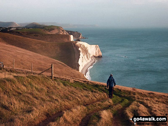
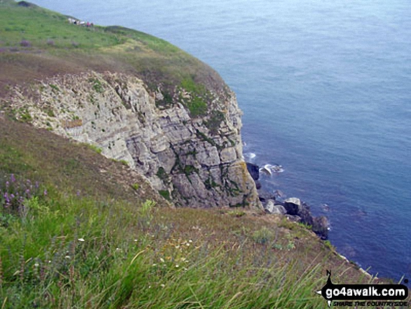
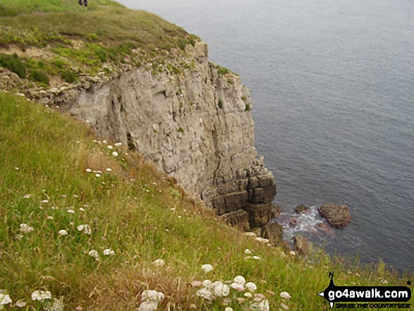
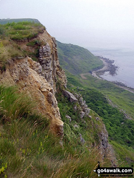
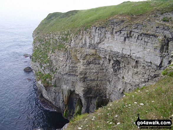
My husband, Graham, on the South West Coast Path overlooking Bat's Head in the Purbecks
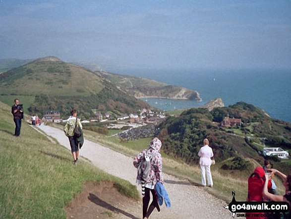
Working our way up from Lulworth Cove and over to Durdle Door on the Jurassic Coast
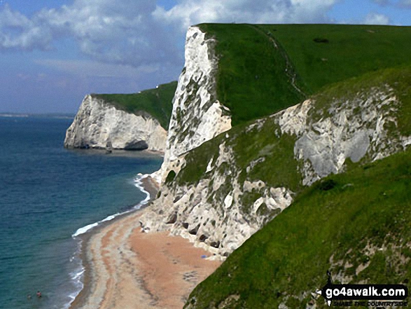
Swyre Head with Bat's Head beyond from Durdle Door, The South West Coast Path
Send us your photographs and pictures from your walks and hikes
We would love to see your photographs and pictures from walk do101 Swyre Head and The Jurassic Coast from Durdle Door. Send them in to us as email attachments (configured for any computer) along with your name and where the picture was taken to:
and we shall do our best to publish them.
(Guide Resolution = 300dpi. At least = 660 pixels (wide) x 440 pixels (high).)

You can also submit photos from walk do101 Swyre Head and The Jurassic Coast from Durdle Door via our Facebook Page.
NB. Please indicate where each photo was taken.


