   |
Vital Statistics:
| Length: | 10¾mls (17km) |
| Ascent: | 1,493ft (455m) |
| Time: | 5½hrs |
| Grade: |  |
Route outline for walk d189:
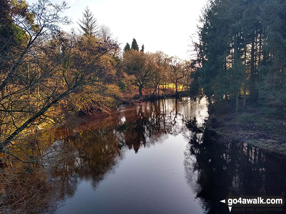
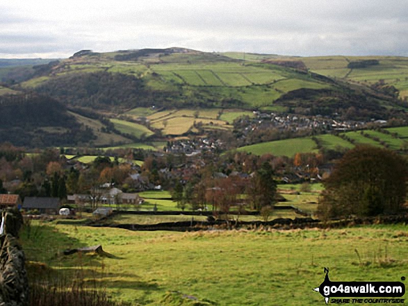
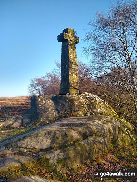
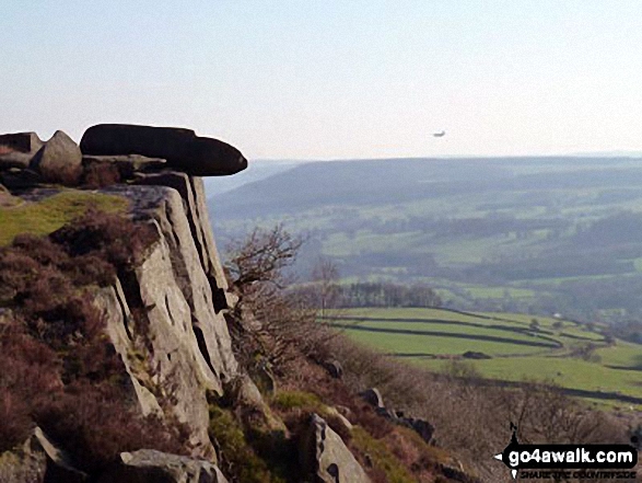
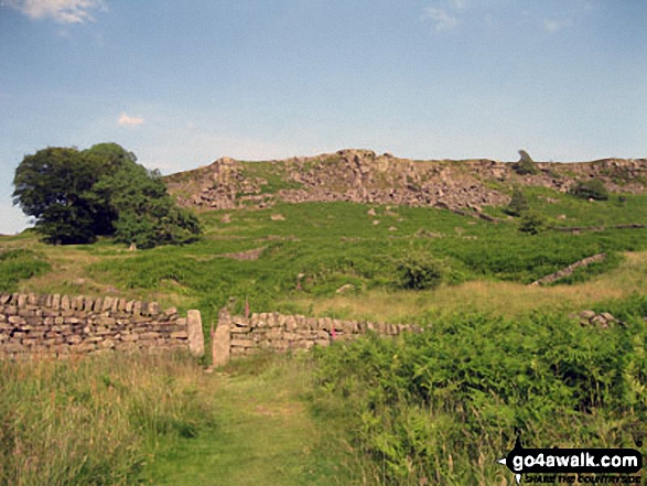
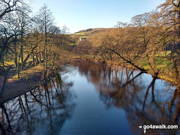
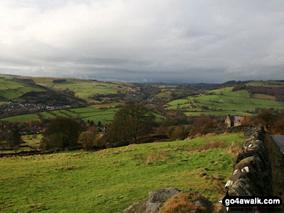
Grindleford Station - Oaks Wood - Nether Padley - White Edge Moor - Hurkling Stone - White Edge - White Edge (Big Moor) - White Edge (Big Moor) (South East Top) - Curbar Gap - Baslow Edge - Eaglestone Flat - Eagle Stone - Wellington's Monument - Over End - Baslow - The Derwent Valley Heritage Way - Bridge End - River Derwent - Bubnell - Townend Wood - St Mary's Wood - Curbar - Stocking Farm - New Bridge - Froggatt Bridge - Derwent Farm - Horse Hay Coppice - Grindleford - Grindleford Station
Peaks, Summits and Tops reached on this walk:
 0 English Mountains |
 0 Wainwrights |
 0 English Nuttalls |
 0 English Deweys |
 0 Wainwright Outlying Fells |
 0 Marilyns |
 1 Bridget |
Peak Bagging Statistics for this walk:
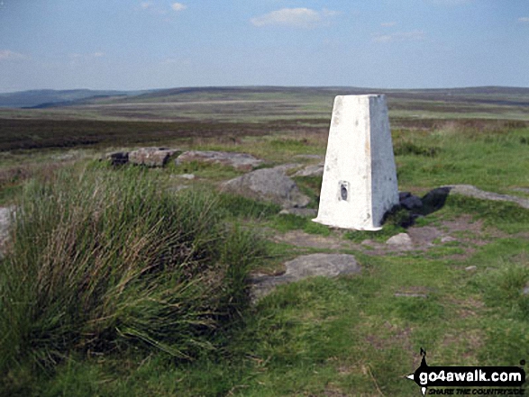
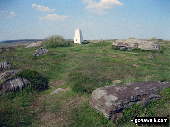
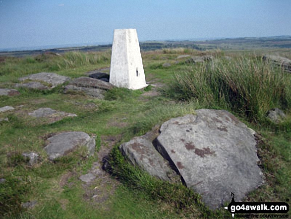
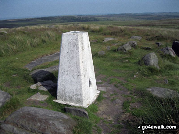
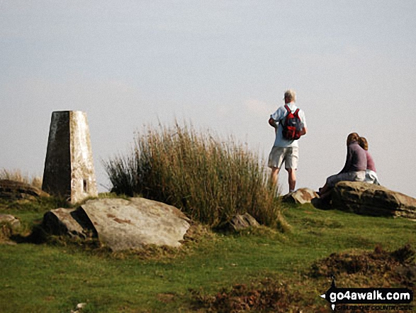
The highest point of this walk is White Edge (Big Moor) at 366m (1201ft). White Edge (Big Moor) is known as an English Bridget. The summit of White Edge (Big Moor) is marked by an Ordnance Survey Trig Point.
Completing this walk will also take you to the top of White Edge (Big Moor) (South East Top) at 365m (1197ft). The summit of White Edge (Big Moor) (South East Top) is marked by an Ordnance Survey Trig Point.
National Trails & Long Paths included on this walk:
Part of this walk follows a section of The Derwent Valley Heritage Way, an 82km (51 miles) linear footpath connecting Ladybower Reservoir in Derbyshire, with Derwent Mouth, Shardlow in Derbyshire, England. The Derwent Valley Heritage Way is waymarked by named discs with a yellow arrow. For more walks that include a section of this trail see The Derwent Valley Heritage Way.
You can find this walk and other nearby walks on these unique free-to-access Interactive Walk Planning Maps:
1:25,000 scale OS Explorer Map (orange/yellow covers):
1:50,000 scale OS Landranger Map (pink/magenta covers):
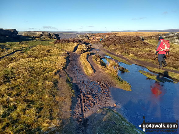
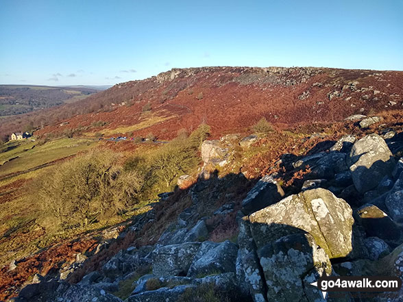
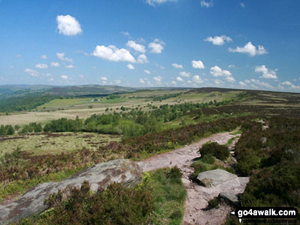
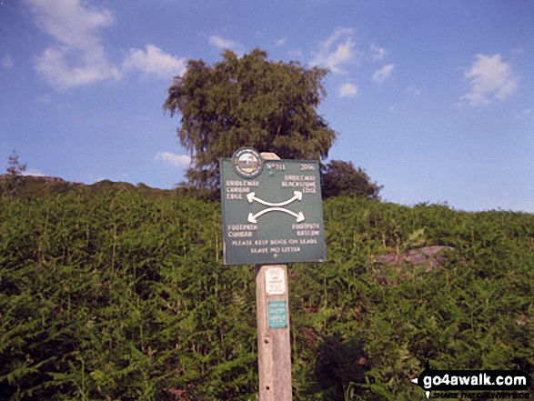
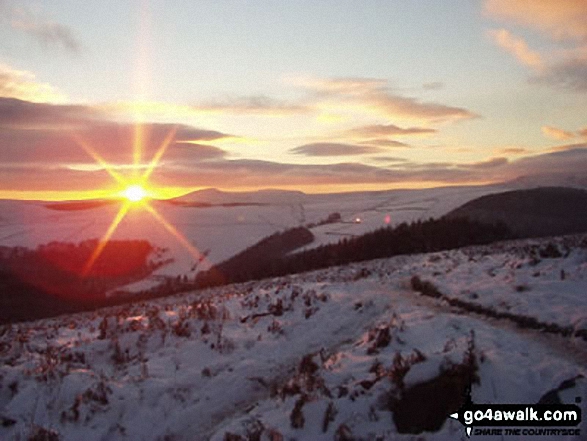
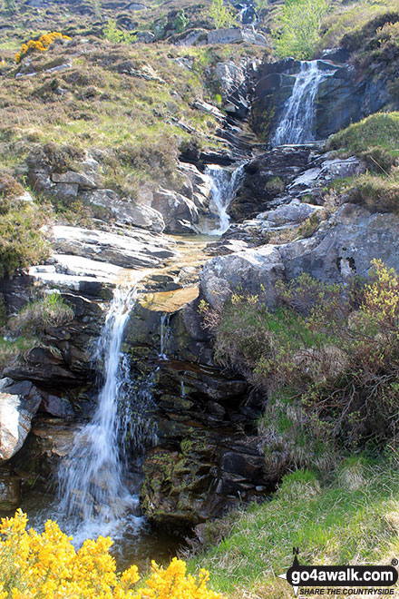
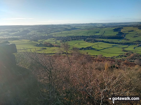
Some Photos and Pictures from Walk d189 White Edge (Big Moor) and Curbar Edge from Grindleford Station
In no particular order . . .
Send us your photographs and pictures from your walks and hikes
We would love to see your photographs and pictures from walk d189 White Edge (Big Moor) and Curbar Edge from Grindleford Station. Send them in to us as email attachments (configured for any computer) along with your name and where the picture was taken to:
and we shall do our best to publish them.
(Guide Resolution = 300dpi. At least = 660 pixels (wide) x 440 pixels (high).)

You can also submit photos from walk d189 White Edge (Big Moor) and Curbar Edge from Grindleford Station via our Facebook Page.
NB. Please indicate where each photo was taken.


