   |
Vital Statistics:
| Length: | 4¾mls (7.5km) |
| Ascent: | 485ft (148m) |
| Time: | 2hrs |
| Grade: |  |
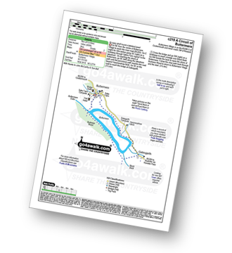
Route outline for walk c219:
Buttermere - Dalegarth - Hassnesshow Beck - Gatesgarth - Black Beck - Peggy's Bridge - Burtness Wood - Buttermere
You can find this walk and other nearby walks on these unique free-to-access Interactive Walk Planning Maps:
1:25,000 scale OS Explorer Map (orange/yellow covers):
1:50,000 scale OS Landranger Maps (pink/magenta covers):
Some Photos and Pictures from Walk c219 A Circuit of Buttermere from Buttermere
In no particular order . . .
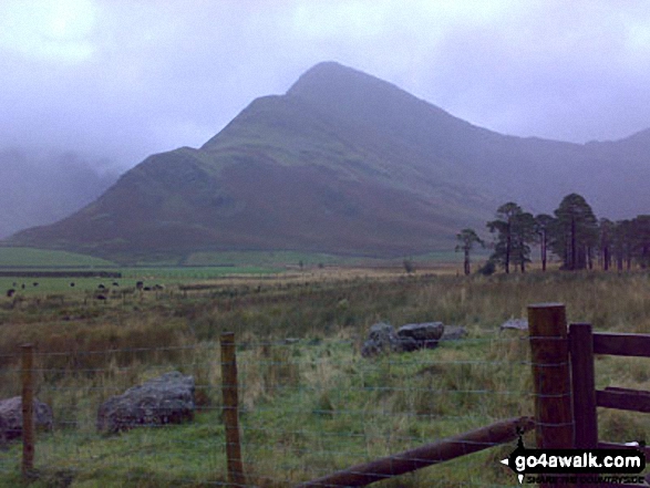
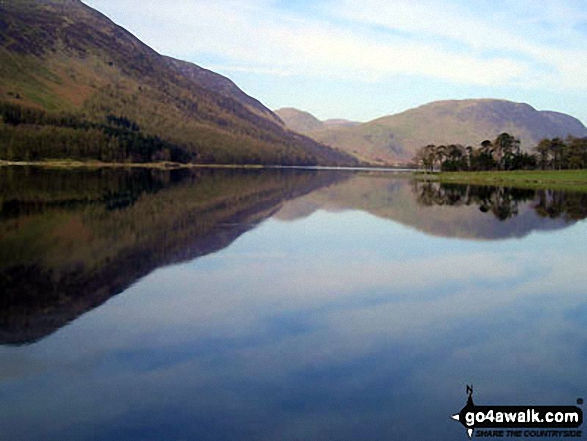
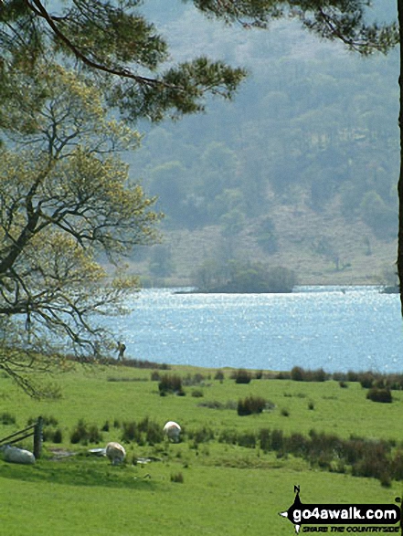
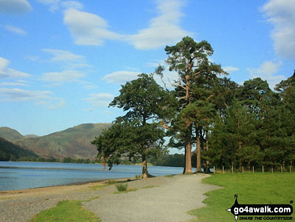
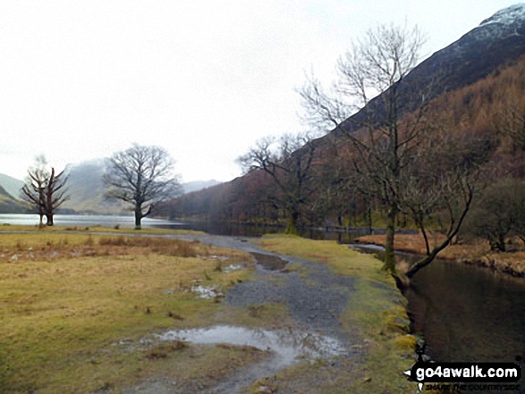
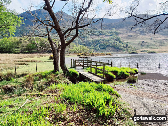
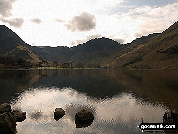
Buttermere Lake - with the lower slopes of High Stile (left), Hen Comb (centre) and Mellbreak (right)
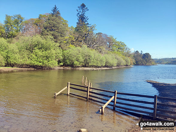
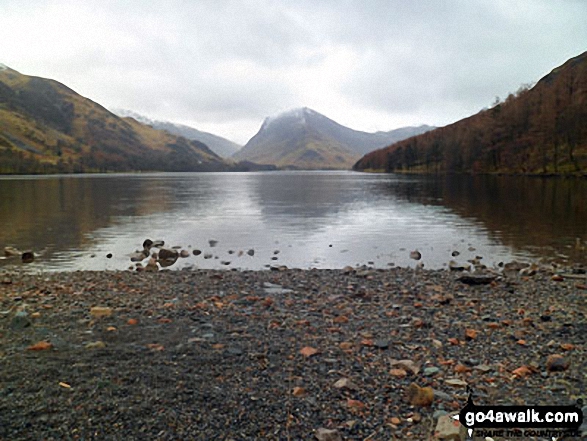
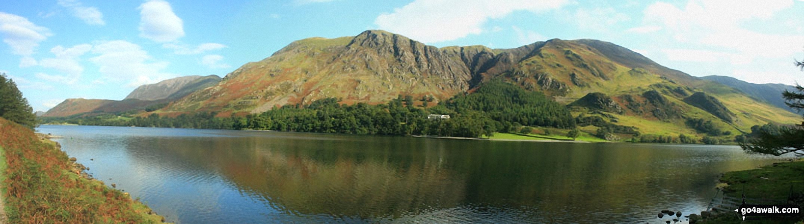
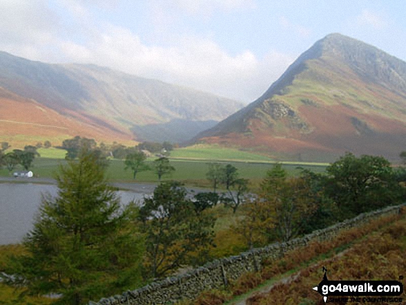
Honister Pass (left), Fleetwith Pike, Hay Stacks (Haystacks) and High Crag (Buttermere) across Buttermere
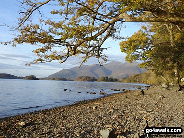
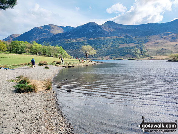
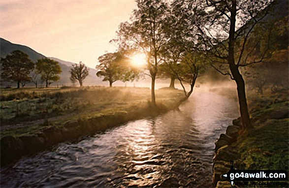
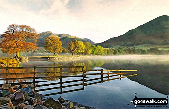
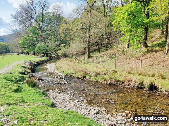
Autumn sunshine on Dale Head (left) and Fleetwith Pike (right) from Burtness Wood
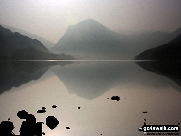
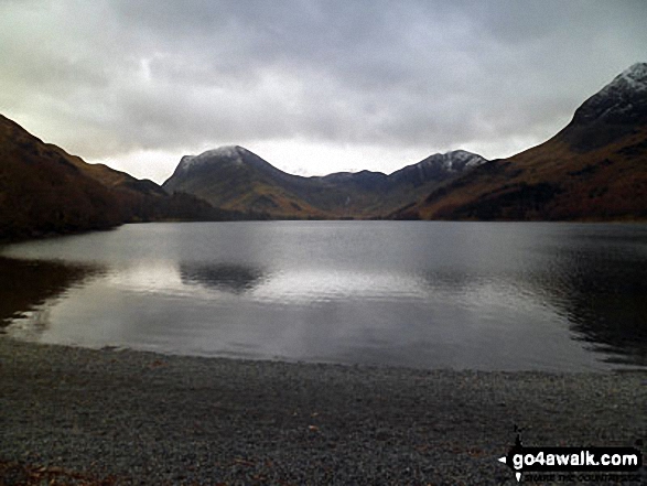
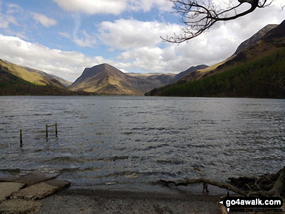
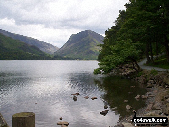
Fleetwith Pike (left), Hay Stacks (Haystacks) and the shoulder of High Crag (Buttermere) (right) across Buttermere
. . . load all 58 walk photos from Walk c219 A Circuit of Buttermere from Buttermere
Send us your photographs and pictures from your walks and hikes
We would love to see your photographs and pictures from walk c219 A Circuit of Buttermere from Buttermere. Send them in to us as email attachments (configured for any computer) along with your name and where the picture was taken to:
and we shall do our best to publish them.
(Guide Resolution = 300dpi. At least = 660 pixels (wide) x 440 pixels (high).)

You can also submit photos from walk c219 A Circuit of Buttermere from Buttermere via our Facebook Page.
NB. Please indicate where each photo was taken.


