   |
Vital Statistics:
| Length: | 13¼mls (21km) |
| Ascent: | 5,189ft (1,581m) |
| Time: | 10hrs |
| Grade: |  |
Route outline for walk c264:
Patterdale - Grisedale Bridge - Grisedale Beck - Brownend Plantation - Hole-in-the-Wall - Birkhouse Moor - Hole-in-the-Wall - Red Tarn (Helvellyn) - Bleaberry Crag - Low Spying How - High Spying How - Striding Edge (High Spying How) - Helvellyn - Nethermost Pike - High Crag (Helvellyn) - Dollywaggon Pike - Seat Sandal - Grisedale Tarn - St Sunday Crag - Birks - Arnison Crag - Patterdale
Peaks, Summits and Tops reached on this walk:
 5 English Mountains |
 8 Wainwrights |
 8 English Nuttalls |
 0 English Deweys |
 0 Wainwright Outlying Fells |
 3 Marilyns |
 0 Bridgets |
Peak Bagging Statistics for this walk:
The highest point of this walk is Helvellyn at 950m (3118ft). Helvellyn is classified as an English Mountain (Hewitt) (3rd highest in England, 12th highest in England & Wales) and a Wainwright (No. 3).
Helvellyn is also known as an English Nuttall (4th highest in England, 14th highest in England & Wales) and an English Marilyn (2nd highest in England, 165th highest in the UK).
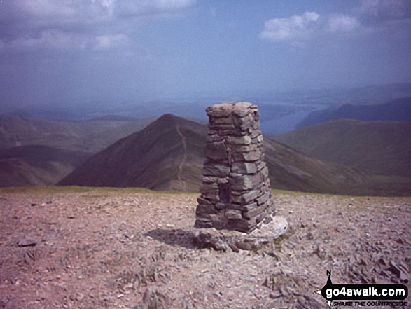
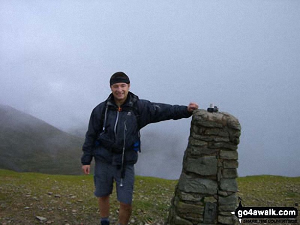
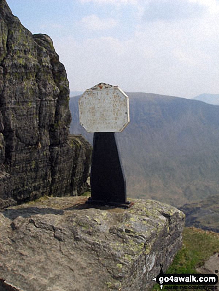
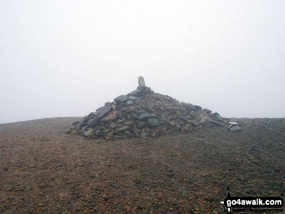
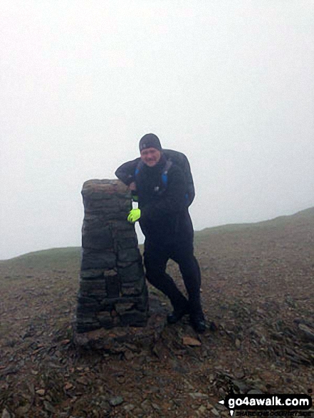
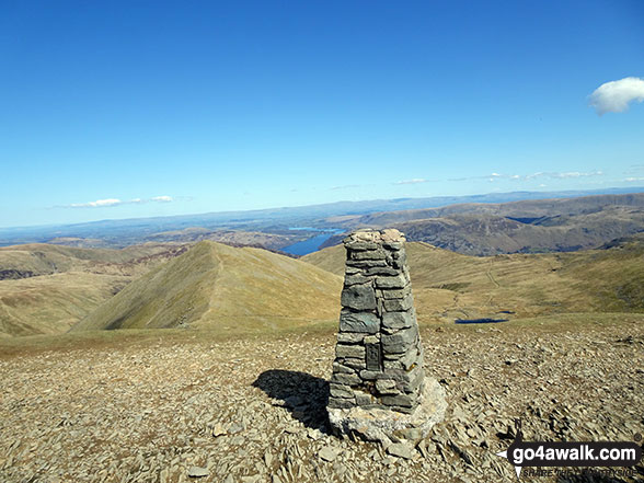
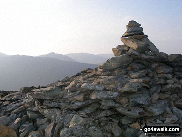
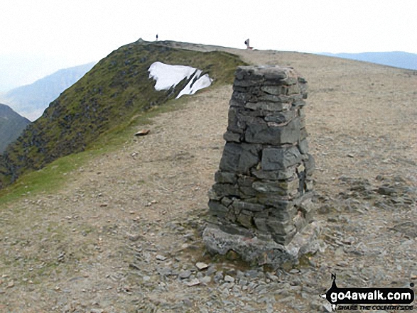
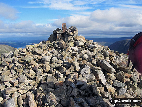
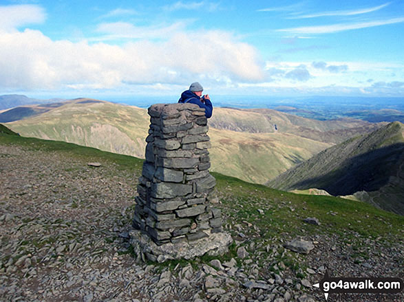
The summit of Helvellyn is marked by an Ordnance Survey Trig Point.
Completing this walk will also take you to the top of Nethermost Pike at 891m (2924ft). Nethermost Pike is classified as an Wainwright (No. 9).
Nethermost Pike is also known as an English Nuttall (14th highest in England, 34th highest in England & Wales).
You will also reach the summit of Striding Edge (High Spying How) at 863m (2831ft). Striding Edge (High Spying How) is classified as an English Mountain (Hewitt) (19th highest in England, 42nd highest in England & Wales)
Striding Edge (High Spying How) is also known as an English Nuttall (23rd highest in England, 49th highest in England & Wales).
Along the way you will also bag:
- Dollywaggon Pike at 858m (2816ft). Dollywaggon Pike is classified as an English Mountain (Hewitt) (21st highest in England, 44th highest in England & Wales), a Wainwright (No. 18) and an English Nuttall (25th highest in England, 51st highest in England & Wales).
- St Sunday Crag at 841m (2760ft). St Sunday Crag is classified as an English Mountain (Hewitt) (27th England, 53rd highest in England & Wales), a Wainwright (No. 22), an English Nuttall (33rd highest in England, 61st highest in England & Wales) and an English Marilyn (10th England, 328th highest in the UK).
- Seat Sandal at 736m (2417ft). Seat Sandal is classified as an English Mountain (Hewitt) (75th England, 130th highest in England & Wales), a Wainwright (No. 68), an English Nuttall (94th highest in England, 161st highest in England & Wales) and an English Marilyn (24th England, 512th highest in the UK).
- Birkhouse Moor at 718m (2356ft). Birkhouse Moor is classified as a Wainwright (No. 79) and an English Nuttall (110th highest in England, 188th highest in England & Wales)
- Birks at 624m (2047ft). Birks is classified as a Wainwright (No. 125) and an English Nuttall (222nd highest in England, 387th highest in England & Wales)
- Arnison Crag at 433m (1421ft). Arnison Crag is classified as a Wainwright (No. 194)
You can find this walk and other nearby walks on these unique free-to-access Interactive Walk Planning Maps:
1:25,000 scale OS Explorer Map (orange/yellow covers):
1:50,000 scale OS Landranger Map (pink/magenta covers):
Some Photos and Pictures from Walk c264 The Grisedale Round from Patterdale
In no particular order . . .
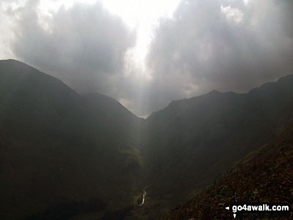
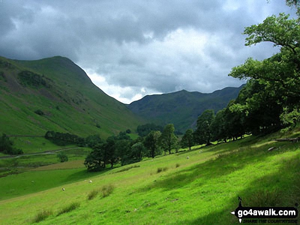
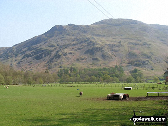
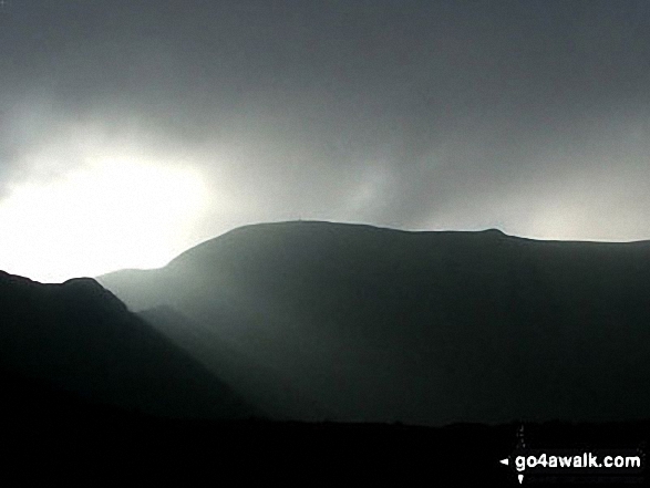
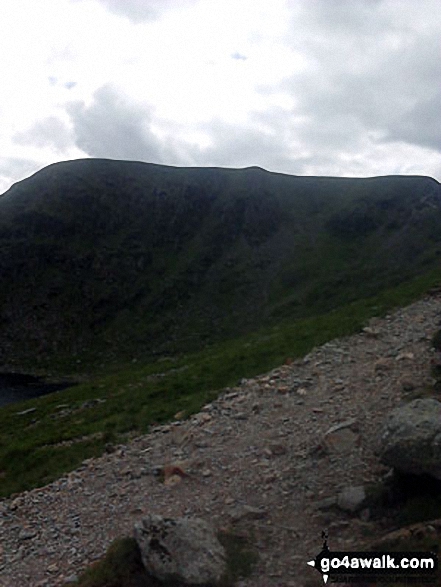
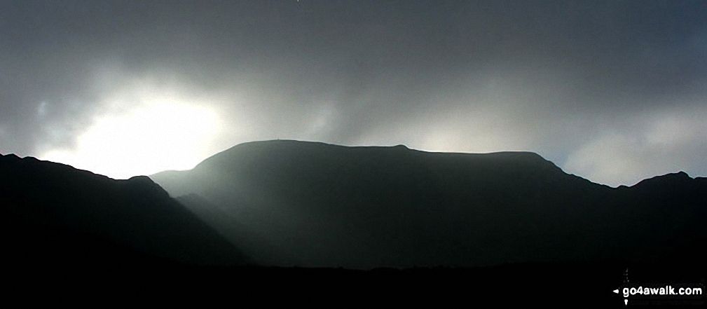
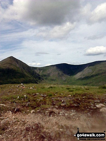
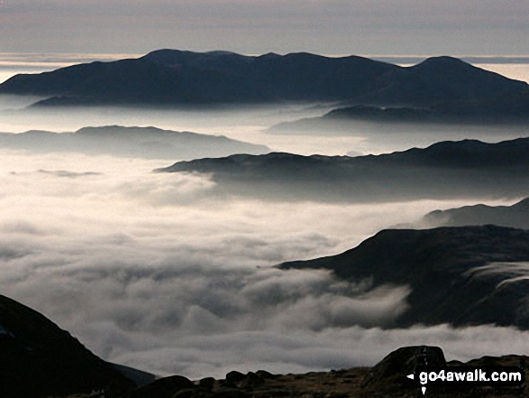
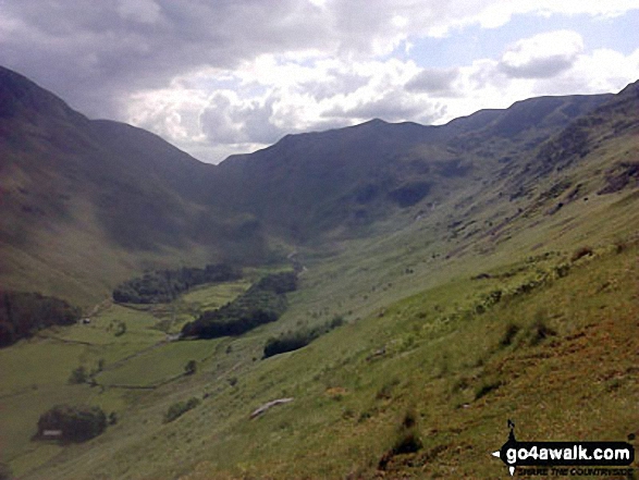
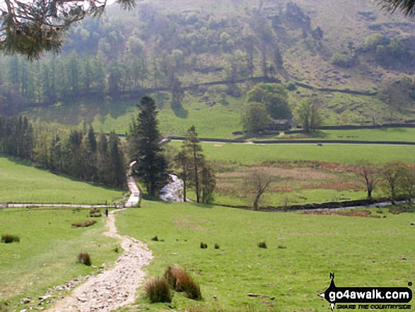
Storms developing over Fairfield (left) and Dollywaggon Pike (right) from Brownend Plantation, Grisedale
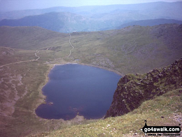
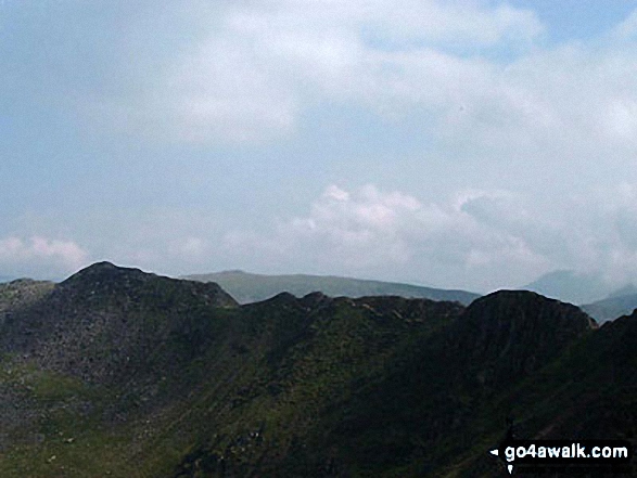
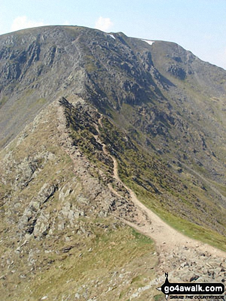
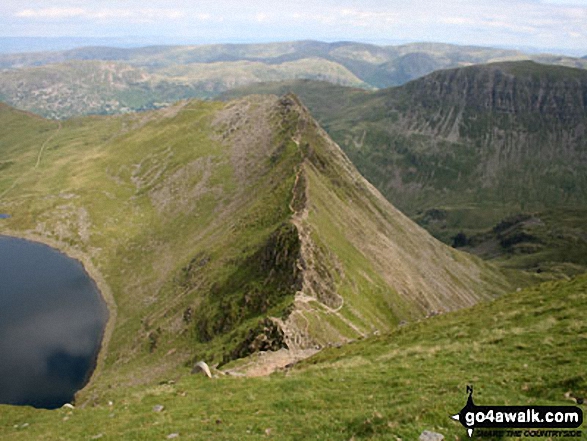
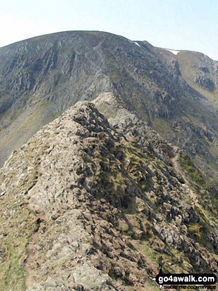
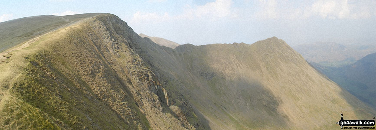
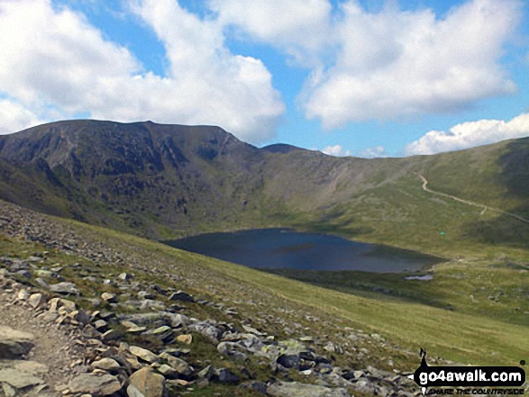
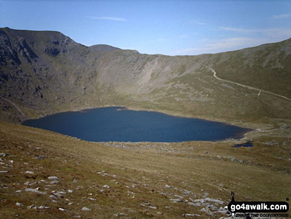
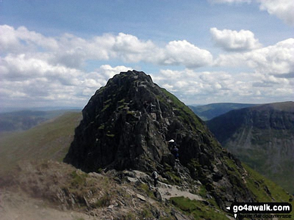
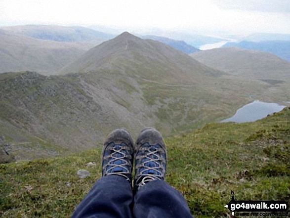
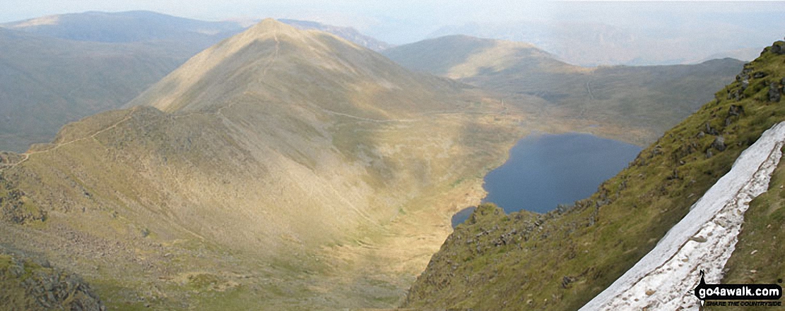
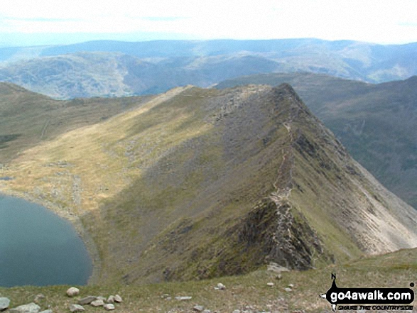
Helvellyn, Red Tarn, Swirral Edge and Catstye Cam from Striding Edge (High Spying How)
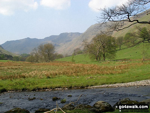
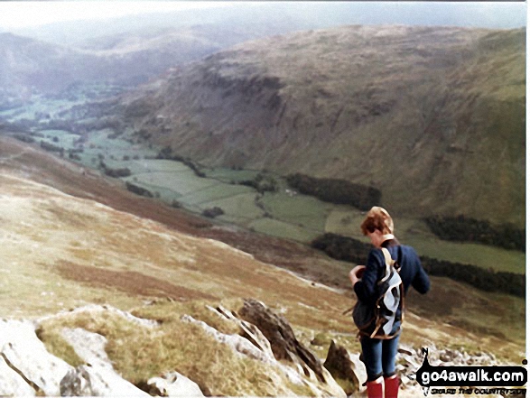
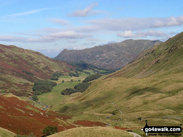
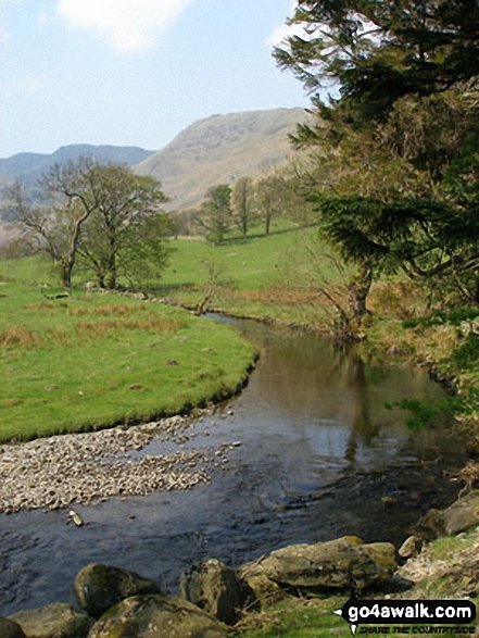
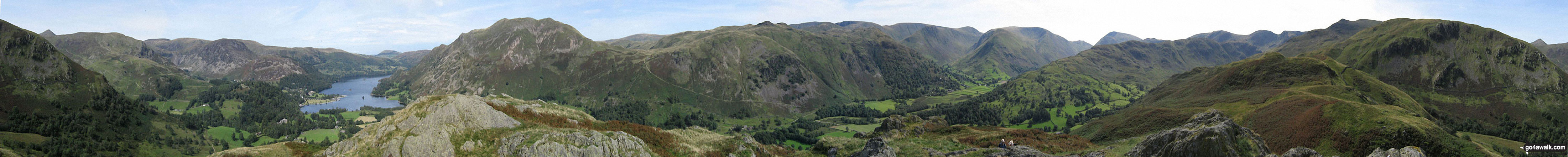
Looking up Grisedale with St Sunday Crag (left) and Dollywagon Pike (centre)
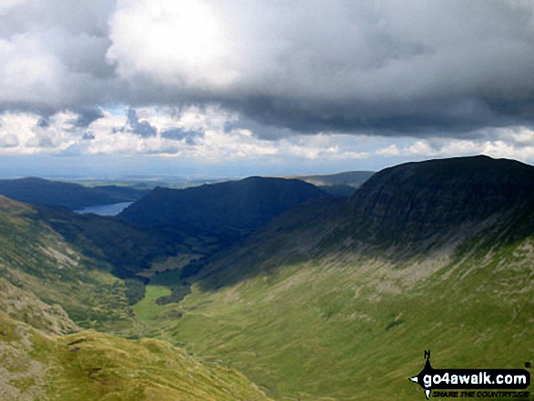
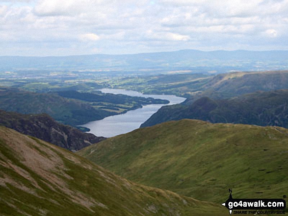
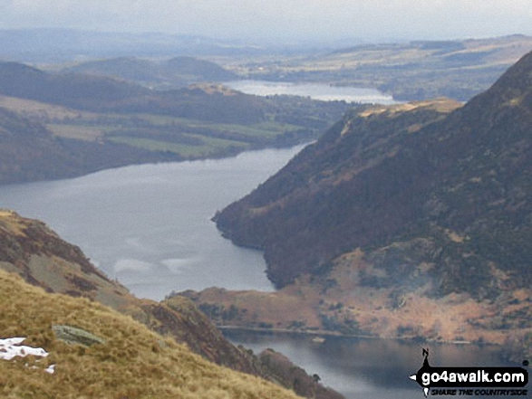
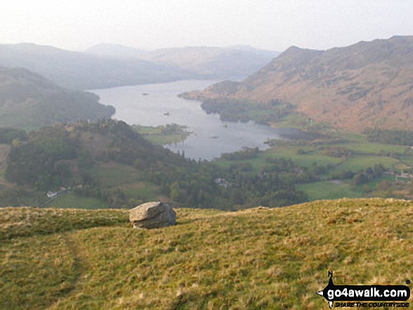
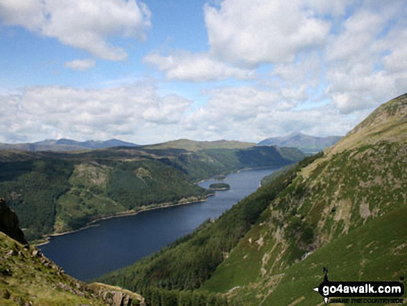
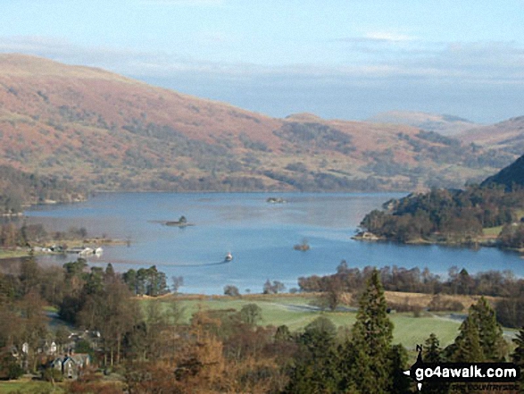
Looking down Grisdale from Dollywaggon Pike with St Sunday Crag on the right and Ullswater in the distance
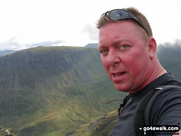
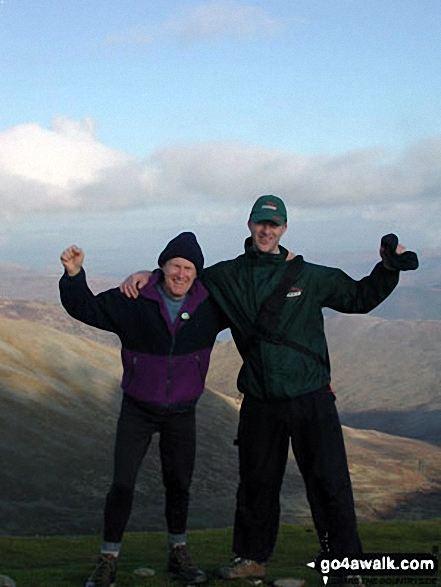
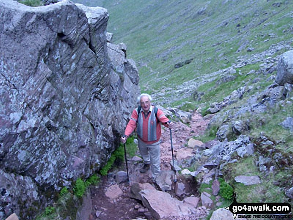
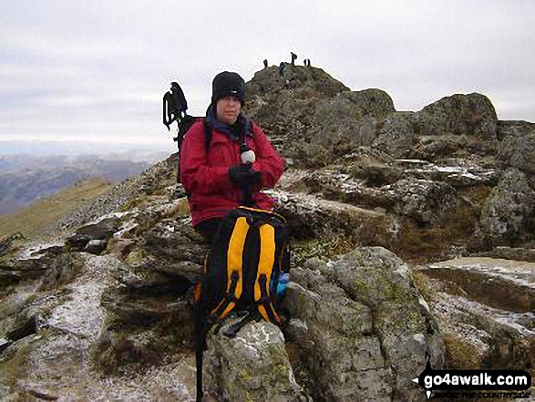
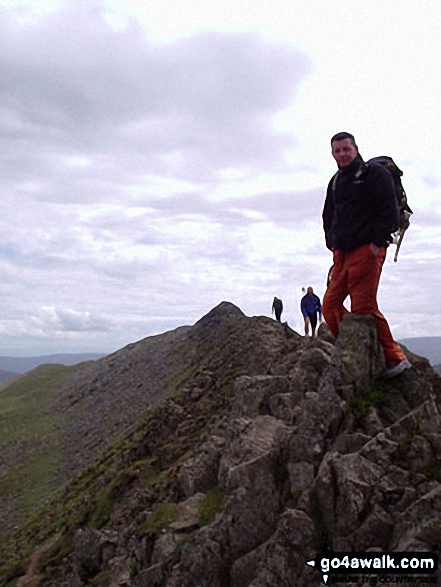
Me (in orange jacket) and my mate Neil on our way to the top of Helvellyn on a drizzly and bitterly cold day.
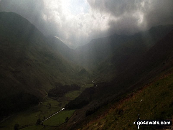
Storms brewing over St Sunday Crag (far left), Fairfield (left) and Dollywaggon Pike (right) and Grisedale from Brownend Plantation
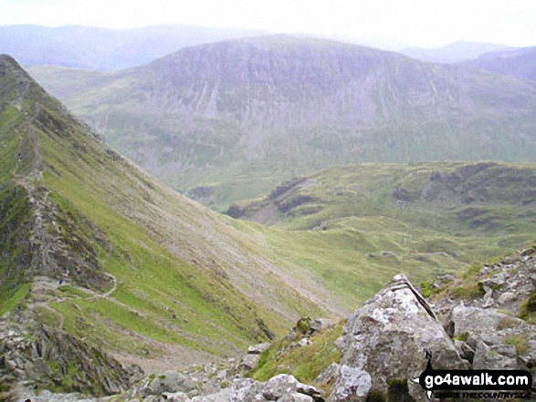
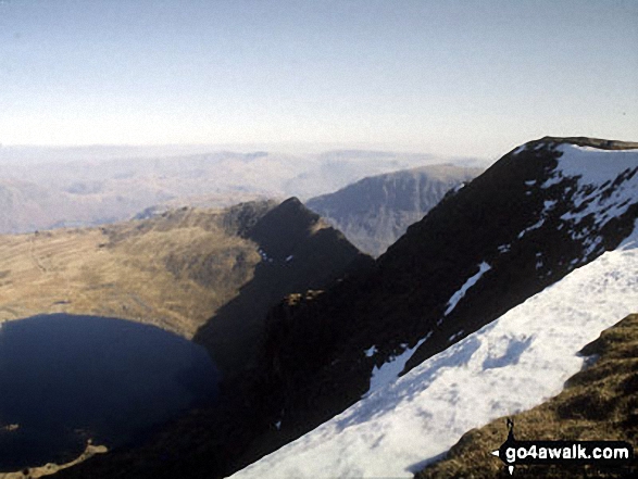
Striding Edge (High Spying How) and Red Tarn (Helvellyn) from the summit of Helvellyn
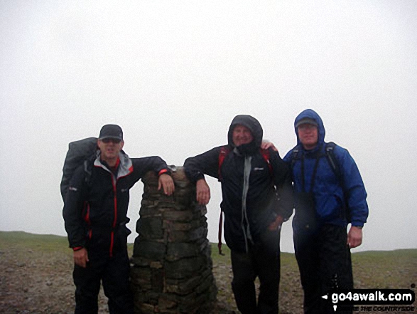
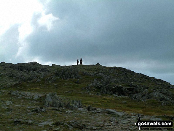
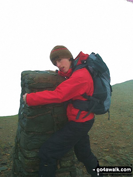
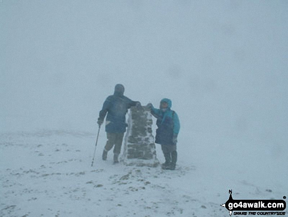
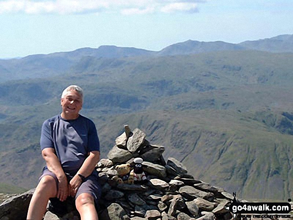
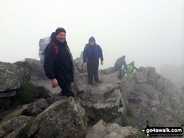
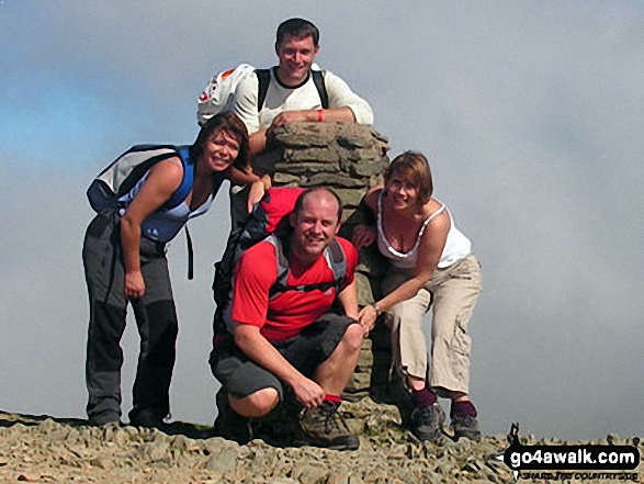
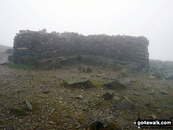
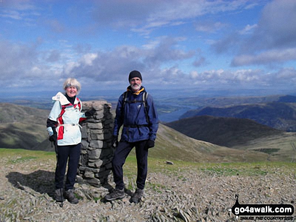
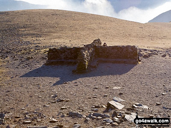
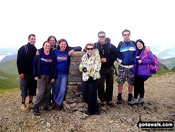
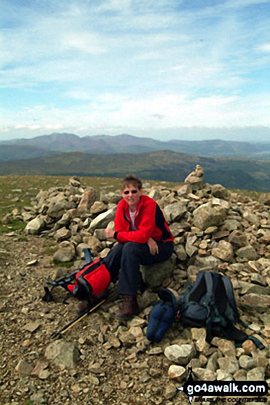
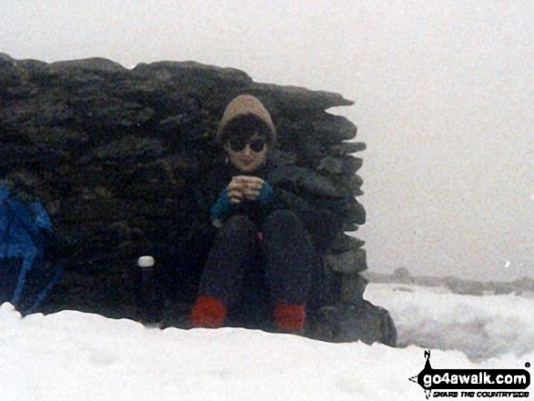
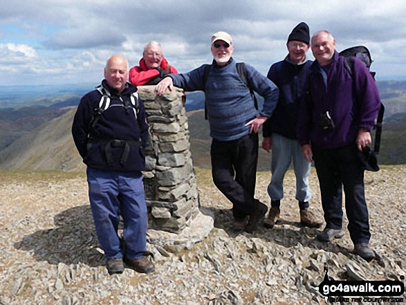
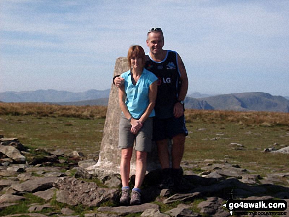
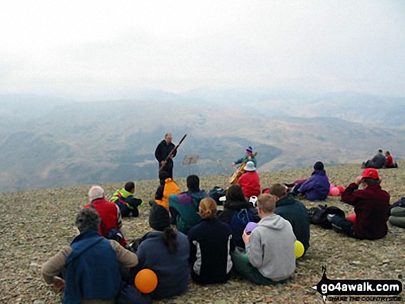
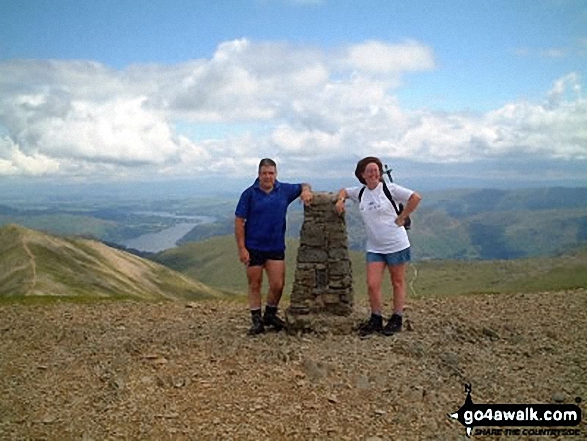
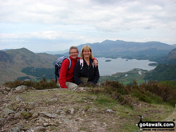
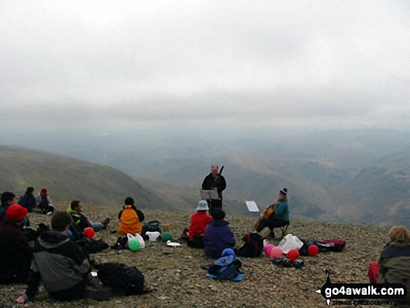
Mike, Tim and Shaun at the summit trig point on a very wet Helvellyn - I swear there were seals on the summit!
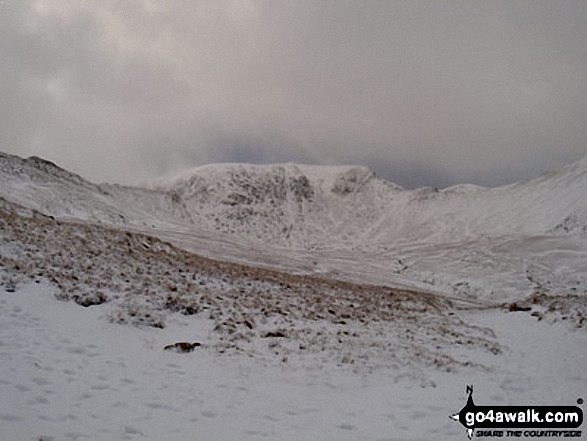
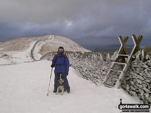
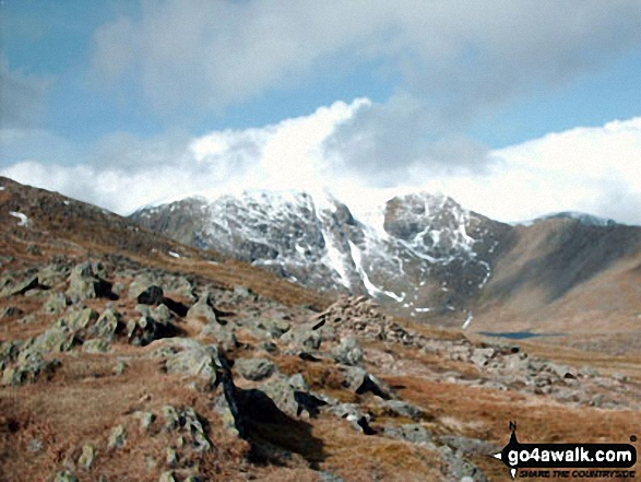
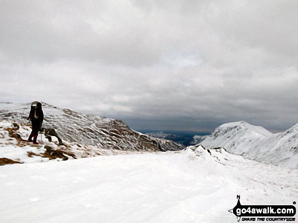
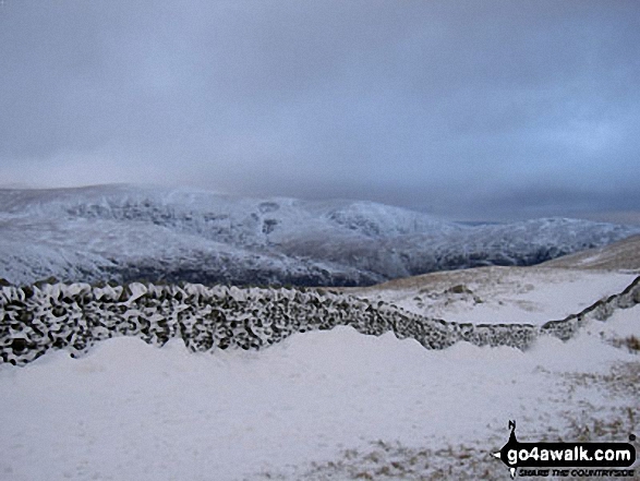
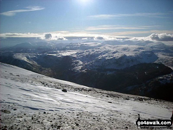
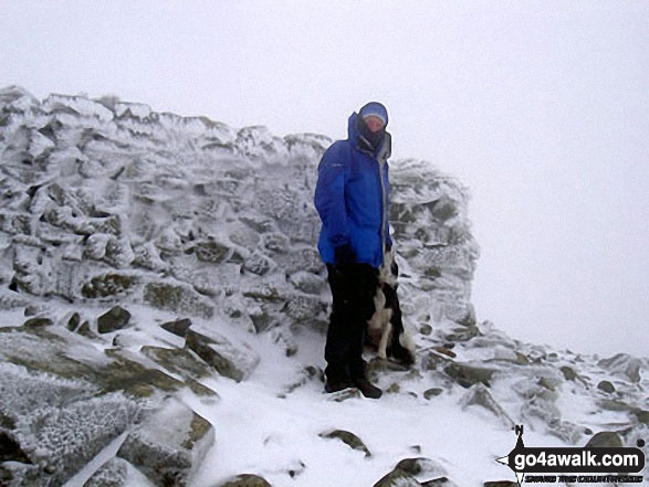
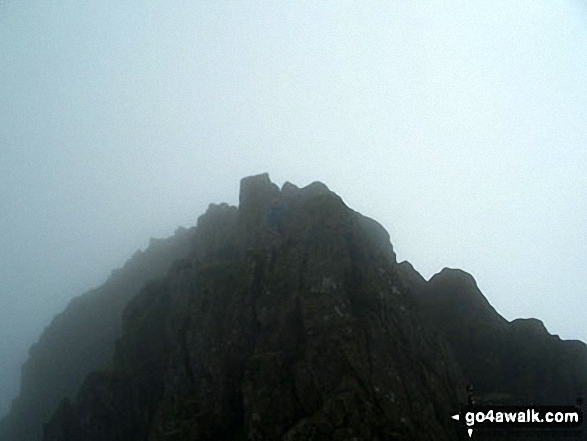
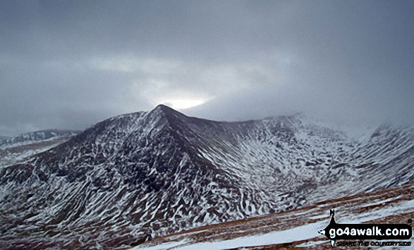
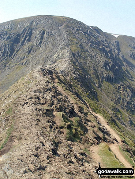
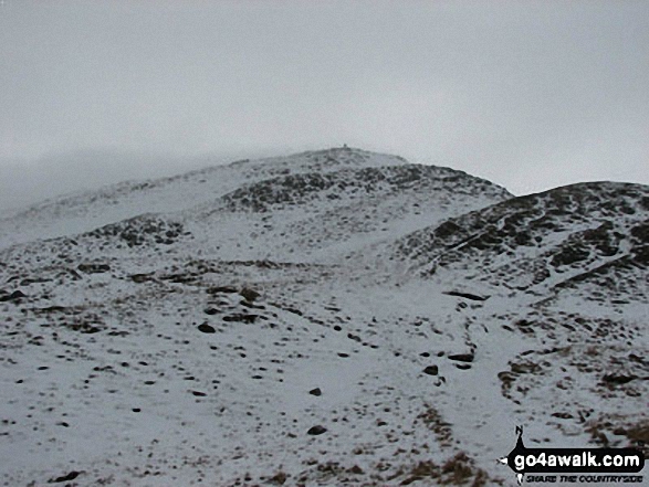
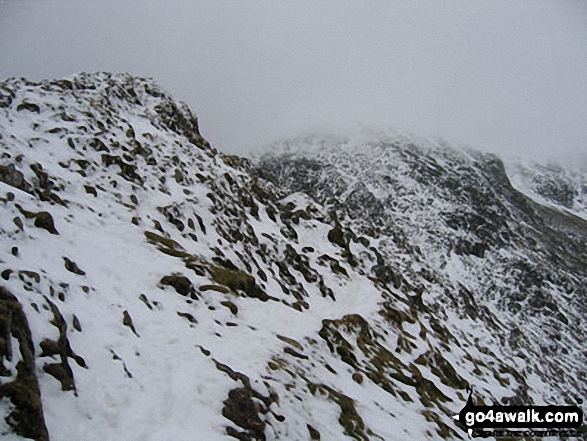
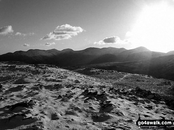
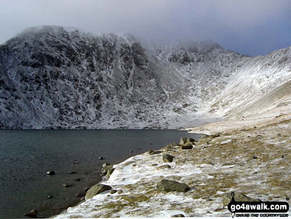
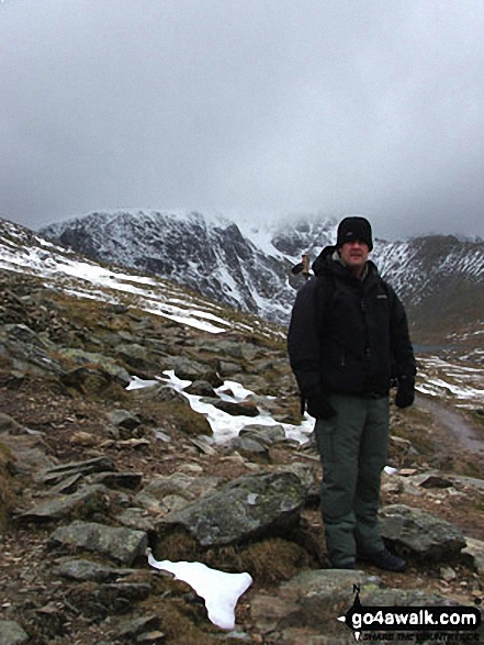
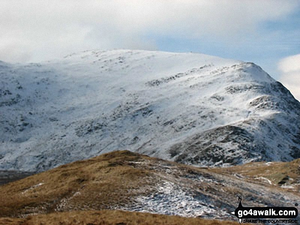
Helvellyn Summit flanked by Striding Edge (High Spying How) (left) and Swirral Edge (right) from Hole-in-the-Wall in the snow
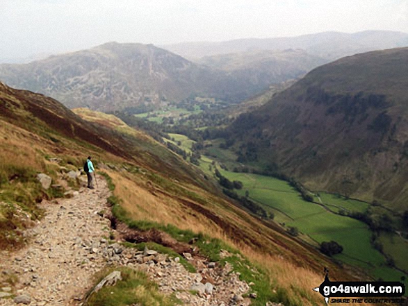
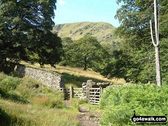
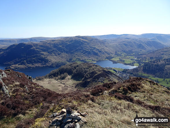
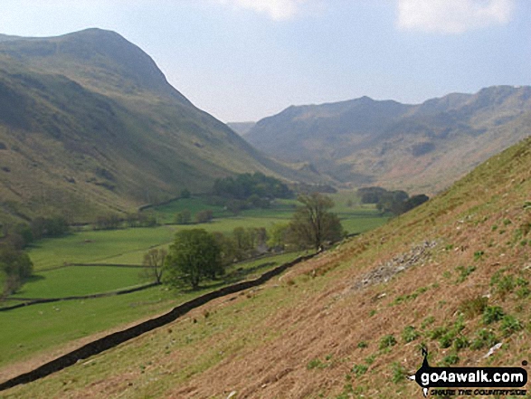
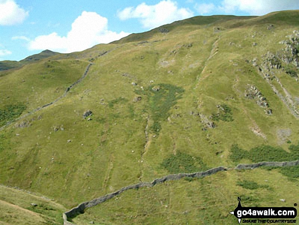
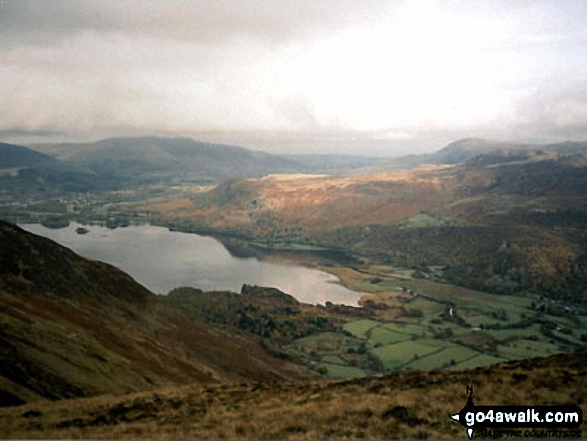
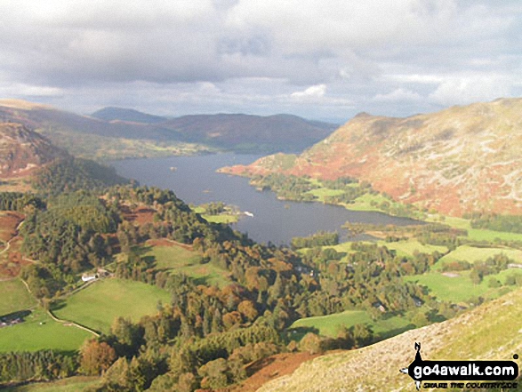
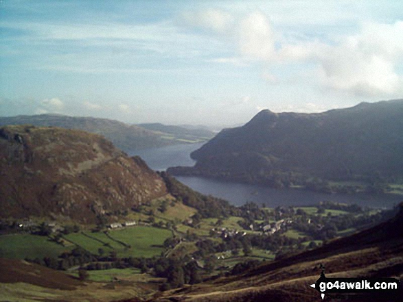
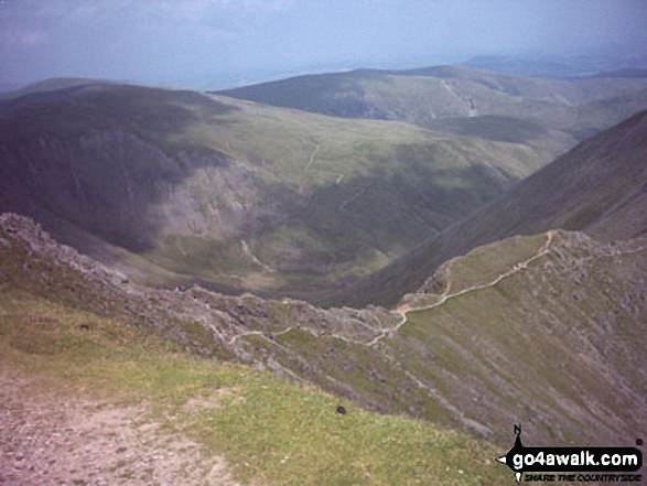
Place Fell, Grisedale and the lower slopes of St Sunday Crag (right) from below Hole-in-the-Wall
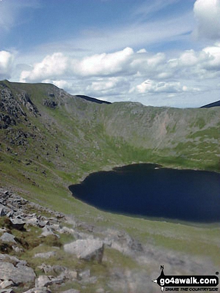
Swirral Edge and Red Tarn (Helvellyn) from Striding Edge (High Spying How)
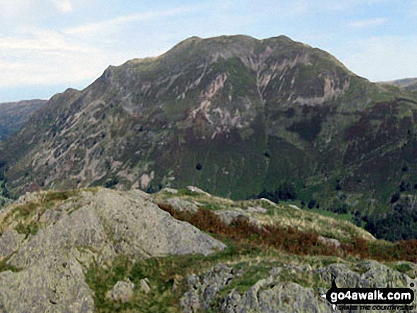
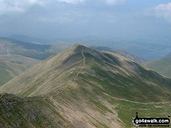
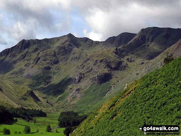
Striding Edge (High Spying How) (left), Helvellyn and Catstye Cam from Birkhouse Moor
Striding Edge (High Spying How) (left) and Helvellyn from near Hole-in-the-wall
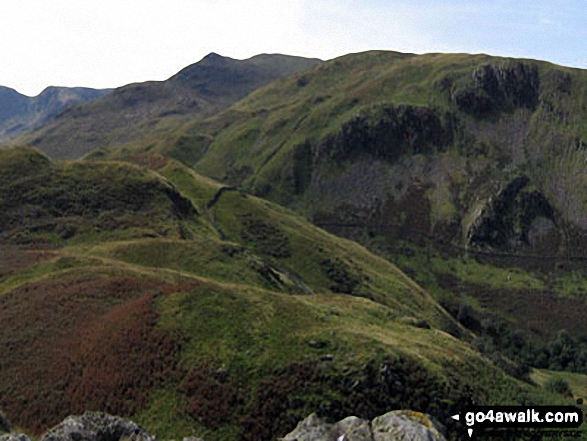
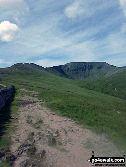
Grisedale with Birks beyond from near the Hole-in-the-wall between Birkhouse Moor and Helvellyn
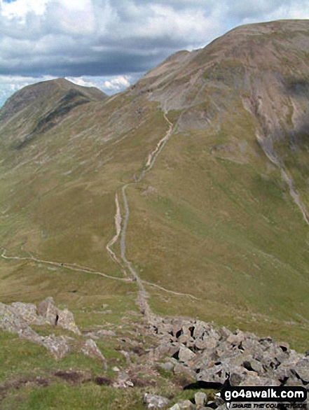
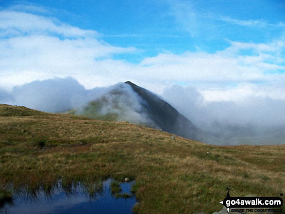
Helvellyn from Hole-in-the-Wall at the start of Striding Edge (High Spying How)
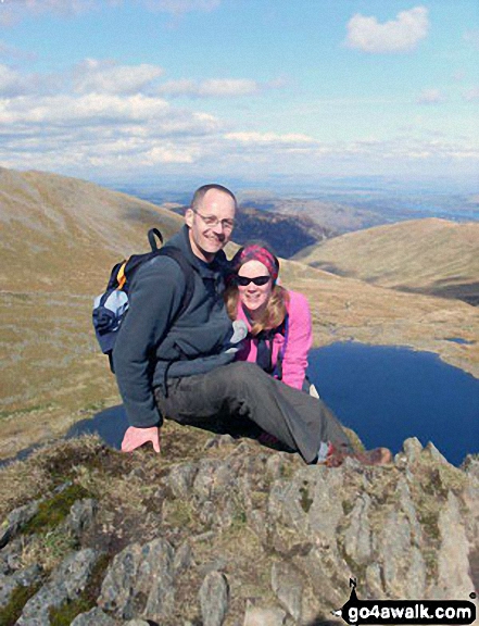
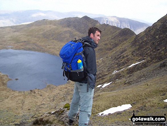
Myself, Emma Cooper & Rachel Hargreaves descending Helvellyn via Swirral Edge
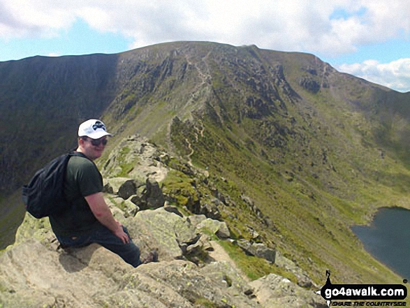
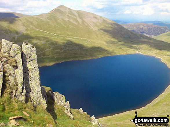
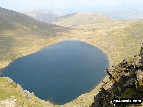
Red Tarn (Helvellyn) with Catstye Cam beyond from Striding Edge (High Spying How)
Striding Edge (High Spying How), Helvellyn, Swirral Edge and Catstye Cam from Hole-in-the-Wall
St Sunday Crag (left), Fairfield (right) and Grisedale Hause from Seat Sandal
Dollywaggon Pike (right) with The Langdale Pikes (mid distance) and Bow Fell (Bowfell) and Scafell Pike (far distance) from St Sunday Crag
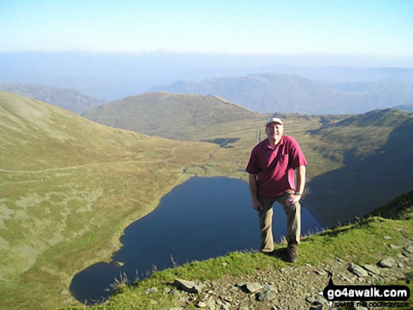
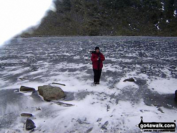
Me on the left, looking towards Ullswater & St Sunday Crag (right) from a very snowy Seat Sandal
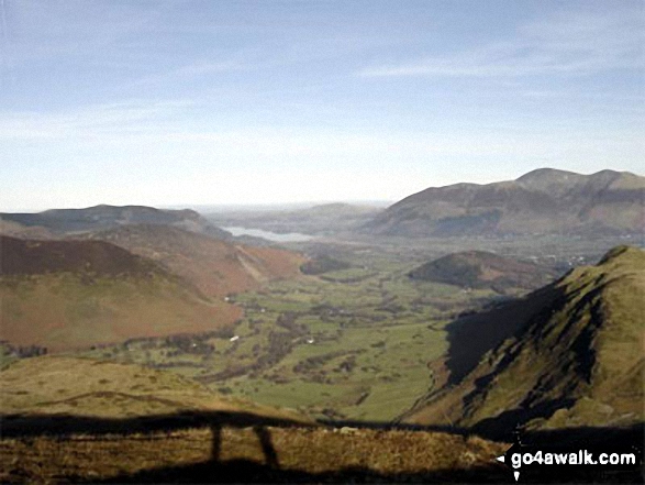
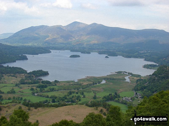
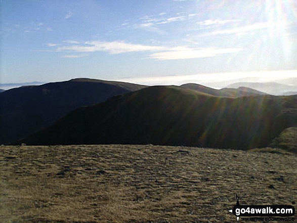
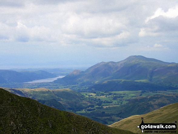
The Newlands Valley from High Spy with Bassenthwaite Lake in the distance and The Skiddaw Massif to the right
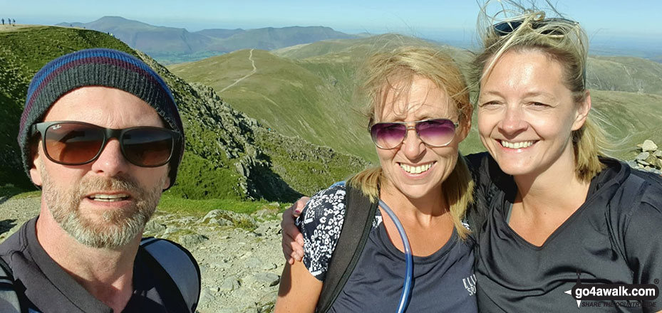
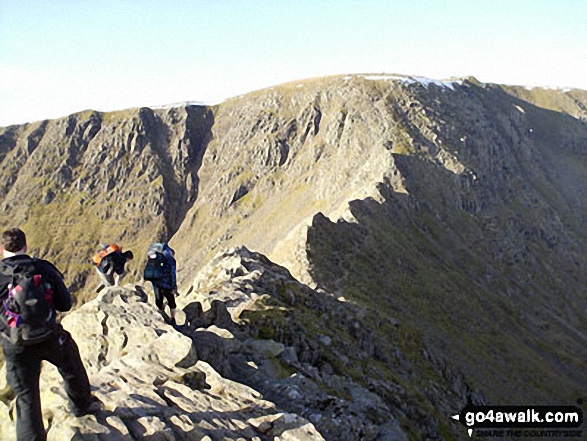
Myself, Emma Cooper & Rachel Hargreaves on the summit of Helvellyn after tackling Striding Edge (High Spying How)
Striding Edge (High Spying How), Helvellyn, Swirral Edge and Catstye Cam from Birkhouse Moor

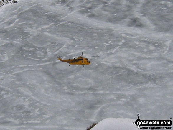
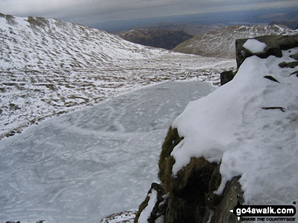
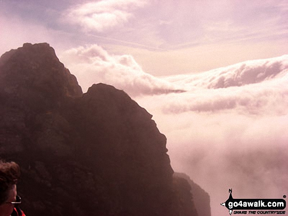
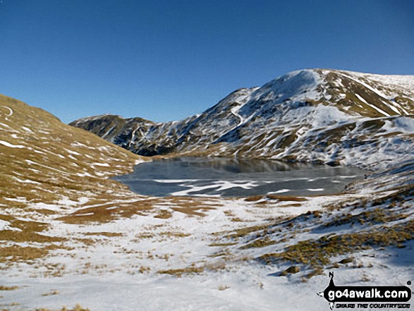
Rescue Helicopter above a frozen Red Tarn from Striding Edge (High Spying How)
Helvellyn (left), Swirral Edge and Red Tarn (Helvellyn) from the approach to Striding Edge (High Spying How) near Hole-in-the-Wall
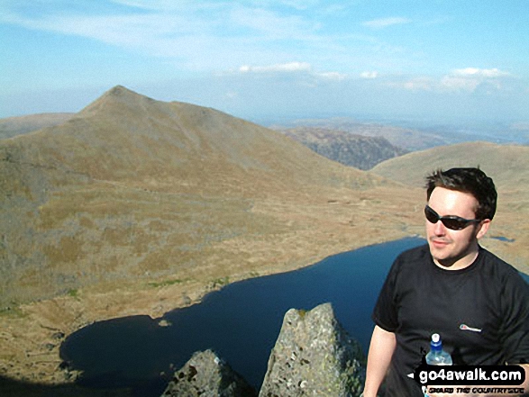
Dave Munro and Red Tarn from Helvellyn with Striding Edge (High Spying How) beyond
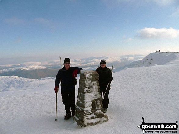
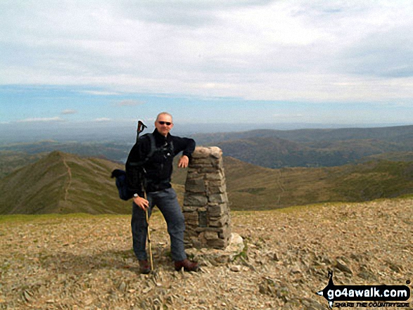
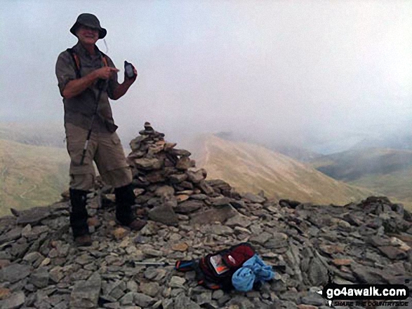
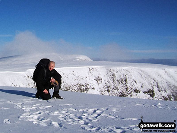
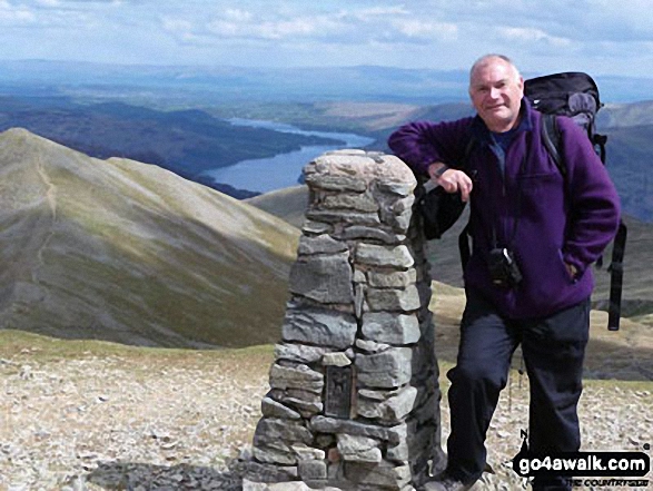
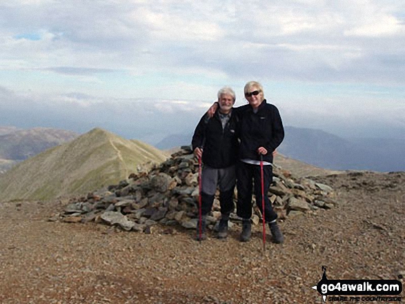
Me and my father John at the summit of Helvellyn at the beginning of Feb 2012
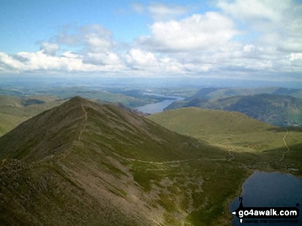
Striding Edge (High Spying How) (left), Helvellyn and Catstye Cam from the Birkhouse Moor
*Striding Edge (High Spying How) (left), Helvellyn, Swirral Edge and Catstye Cam (far right) from near Hole-in-the-wall
Striding Edge (High Spying How) (left), Helvellyn and Catstye Cam from the summit of Birkhouse Moor
Thornthwaite Crag (left), Hartsop Dodd and Stony Cove Pike (Caudale Moor) (centre), Red Screes (right) and the shoulder of Hartsop above How (foreground) from Arnison Crag, Patterdale
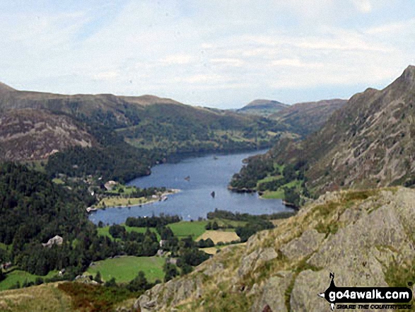
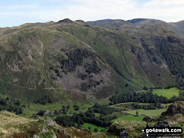
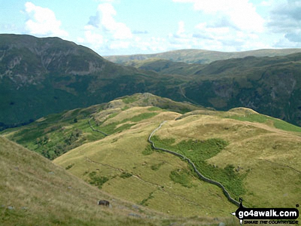
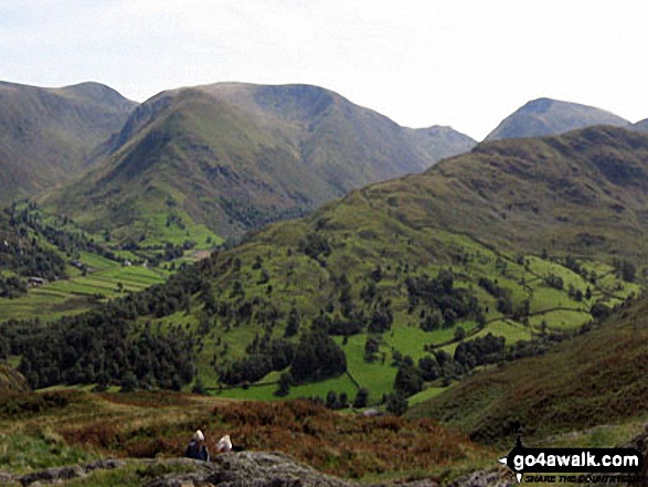
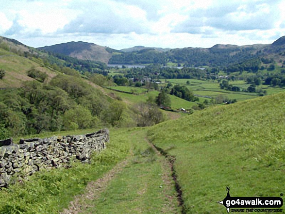
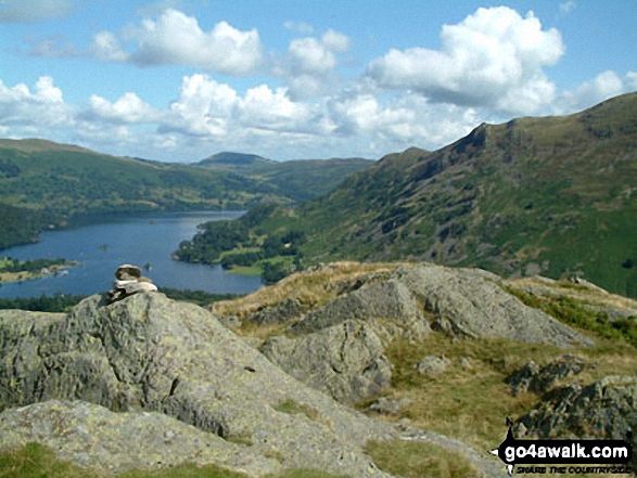
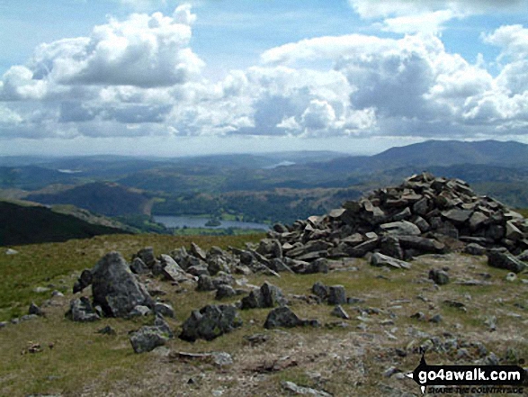
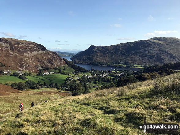
Birkhouse Moor (left), St Sunday Crag (right) and Place Fell (centre) from near Grisedale Tarn
Helvellyn, Swirral Edge and Red Tarn taken from Hole-in-the-Wall at the beginning of Striding Edge (High Spying How)
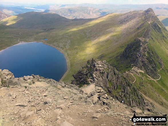
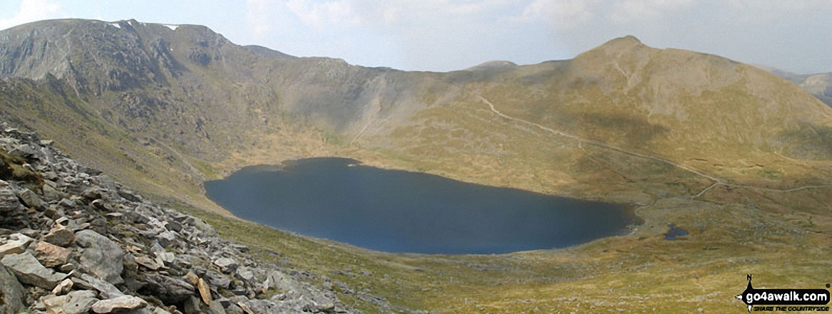
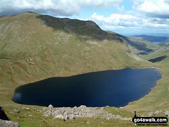
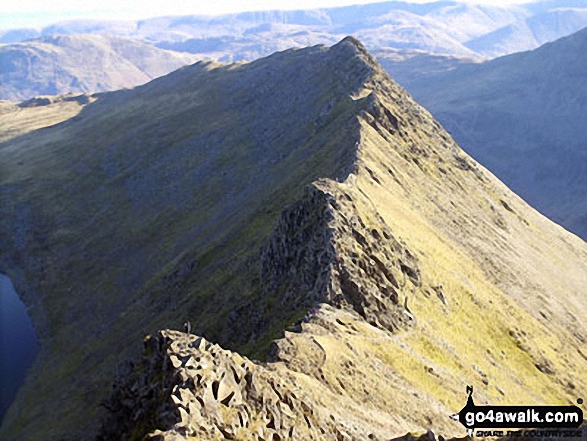
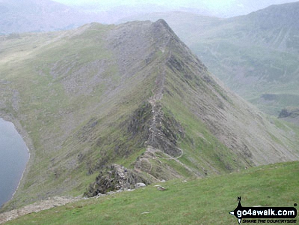
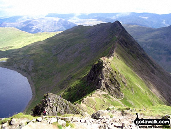
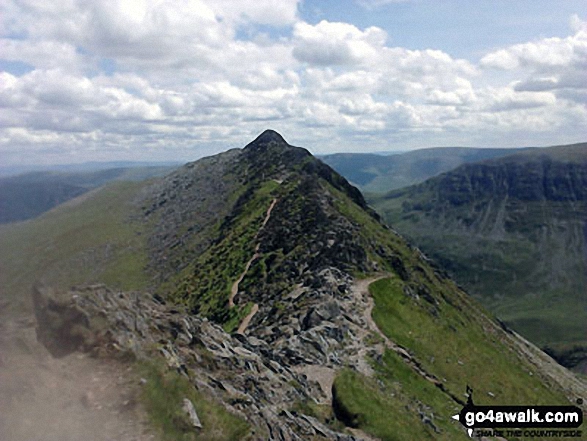
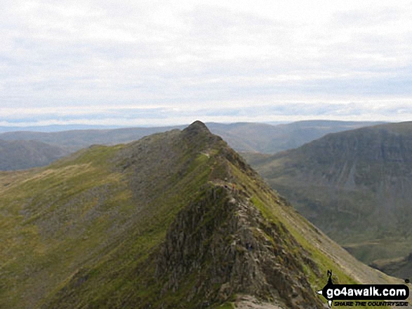
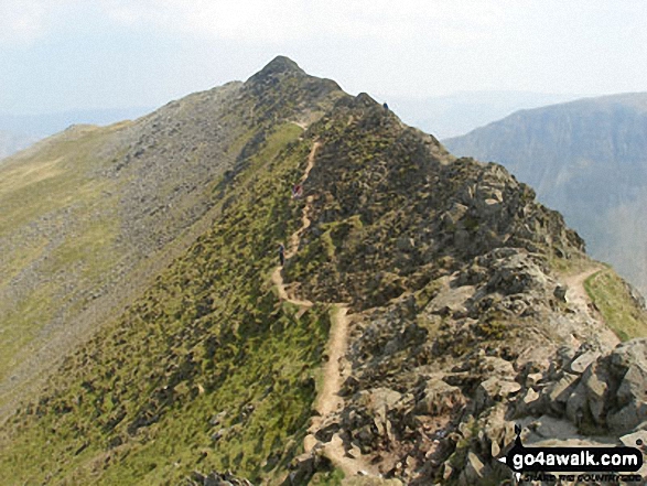
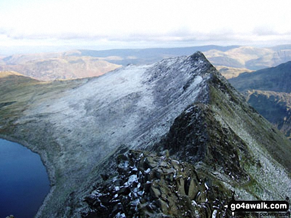
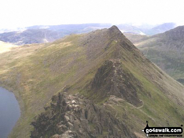
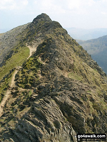
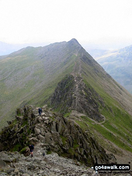
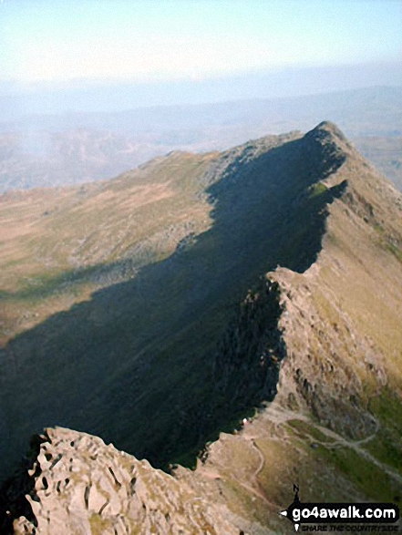
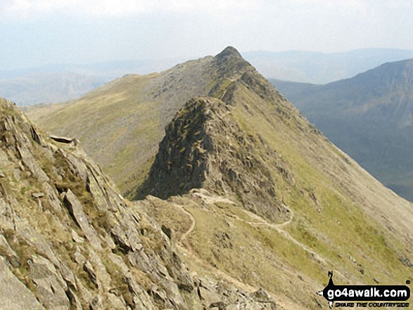
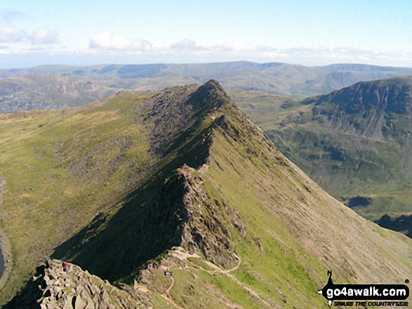
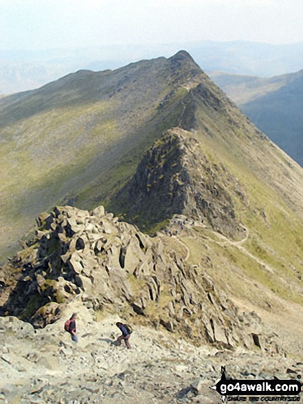
Red Tarn (Helvellyn) and Striding Edge (High Spying How) in all it's glory from Helvellyn
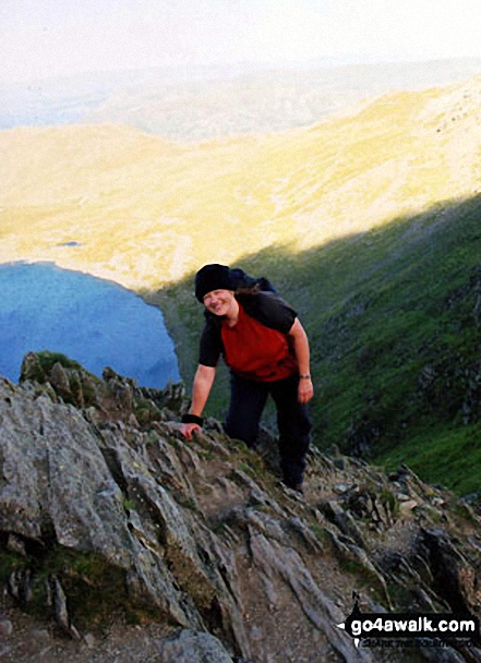
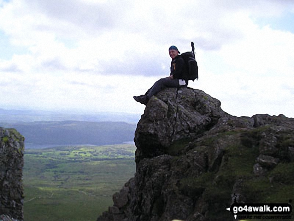
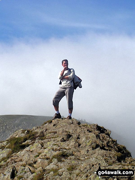
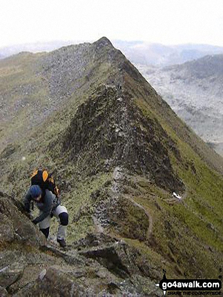
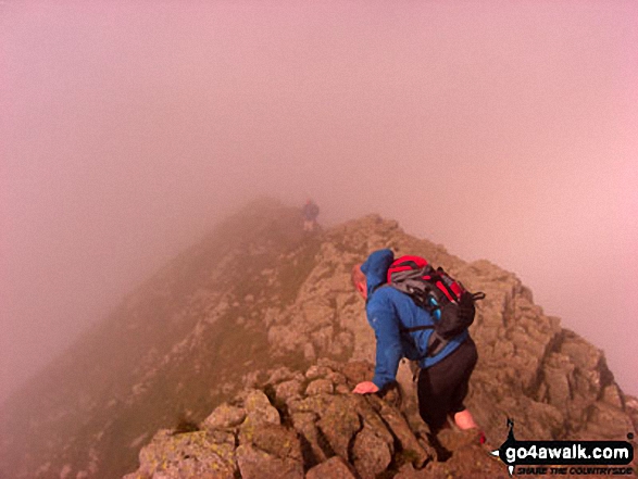
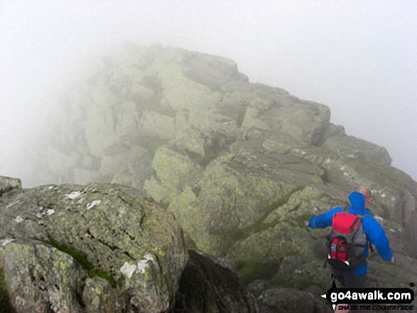
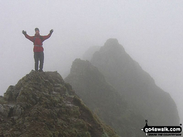
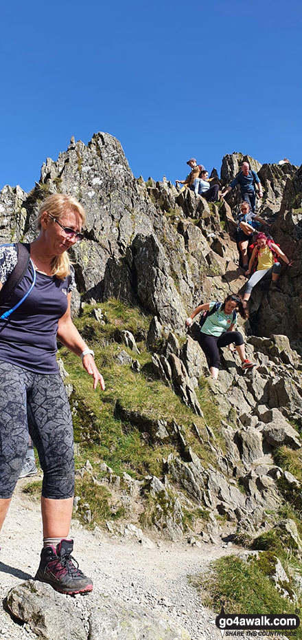
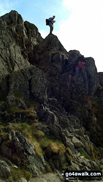
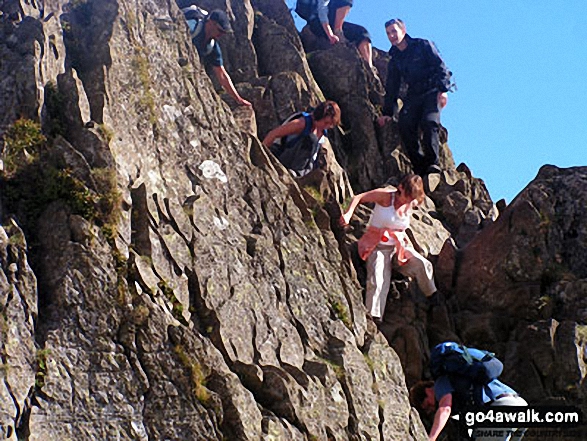
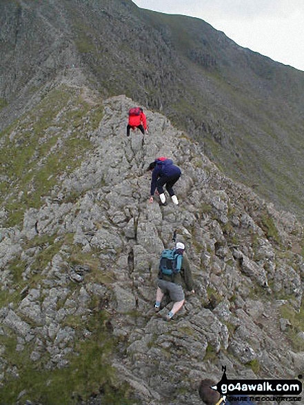
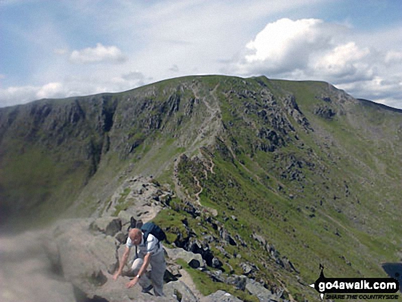
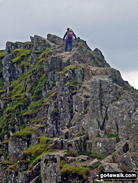
This is me scrambling to the summit of Helvellyn after surviving Striding Edge (High Spying How)!
Clouds rolling in over Fairfield (left), Dollywaggon Pike and Nethermost Pike from Helvellyn
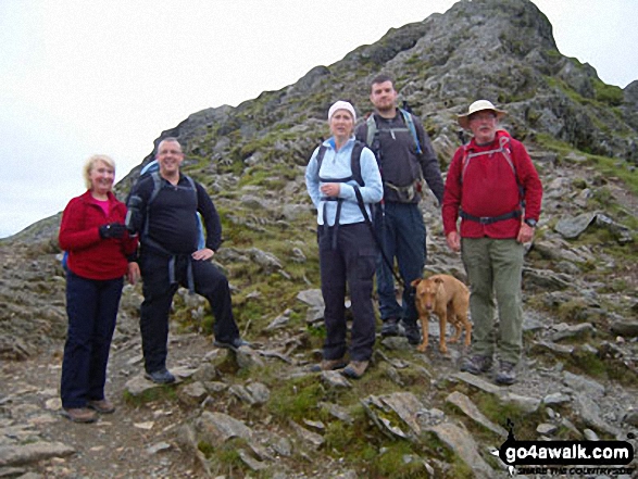
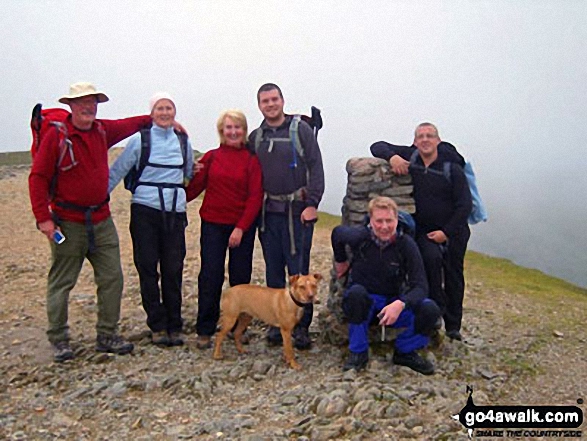
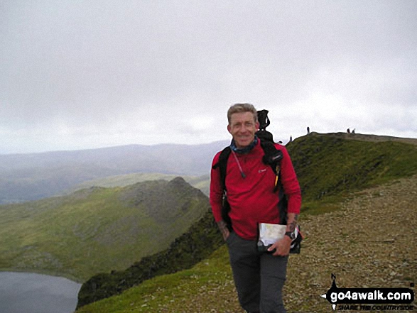
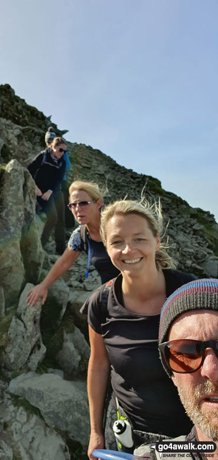
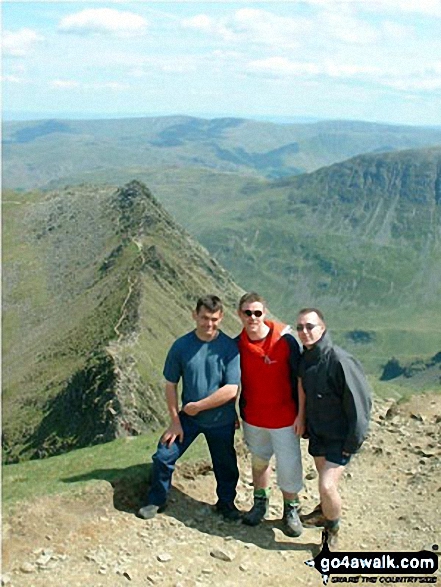
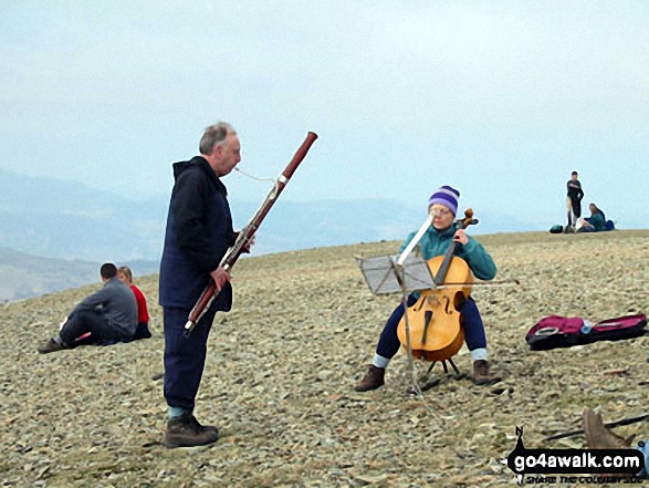
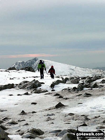
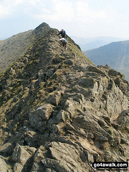
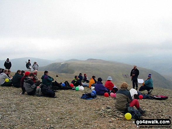
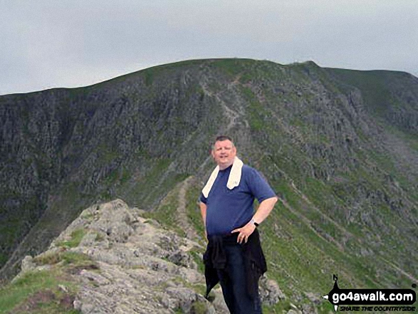
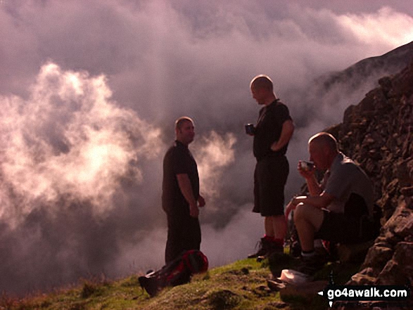
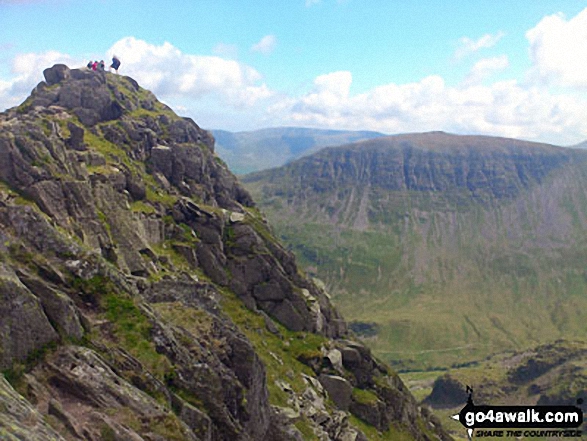
Family group having completed Striding Edge (High Spying How) before the last pull up to Helvellyn.
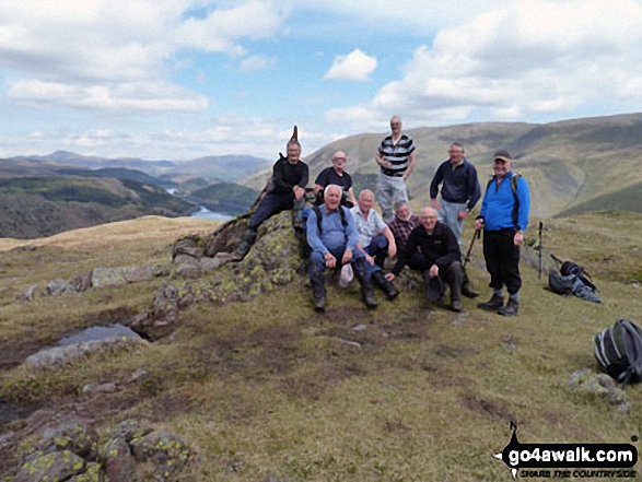
Runaway Ramblers from Bury on top of Steel Fell (Dead Pike) in early May
Catstye Cam, White Side and Raise (Helvellyn) from the summit of Birkhouse Moor
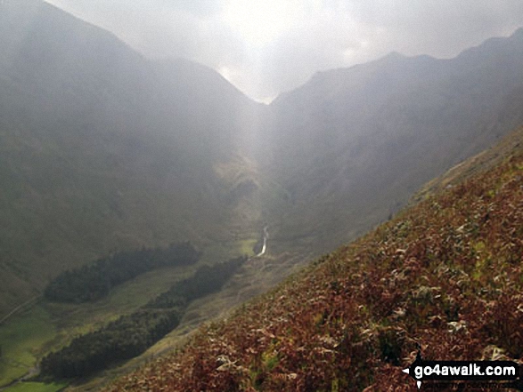
Rays of sun shining through the clouds over Fairfield (left) and Dollywaggon Pike (right) and Grisedale from Brownend Plantation
Striding Edge (High Spying How), (left), Helvellyn and Catstye Cam (right) from Birkhouse Moor
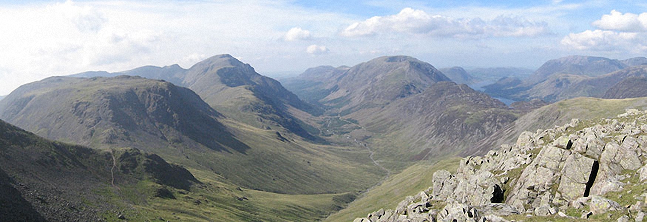
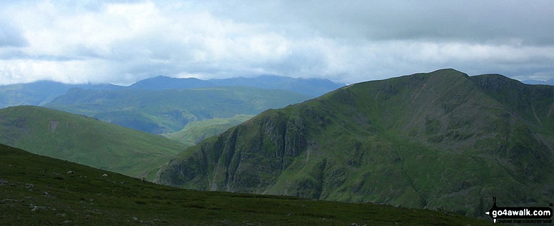
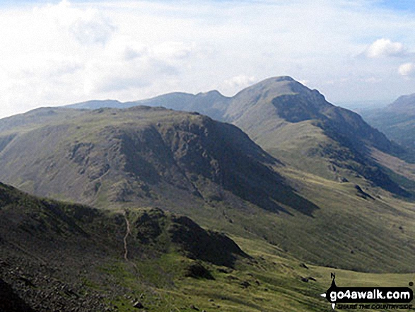
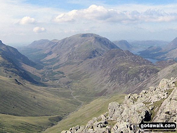
Kirk Fell, Looking Stead & Pillar, Ennerdale, High Stile, High Crag & Hay Stacks, Crummock Water & Buttermere and Grasmoor from Green Gable
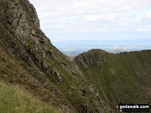
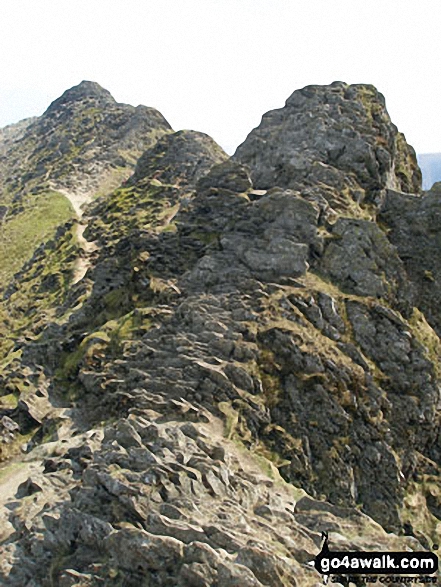
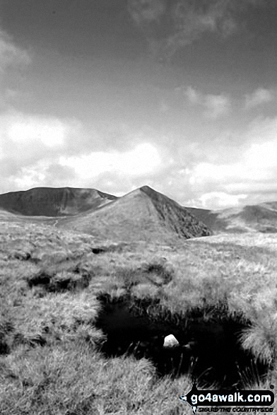
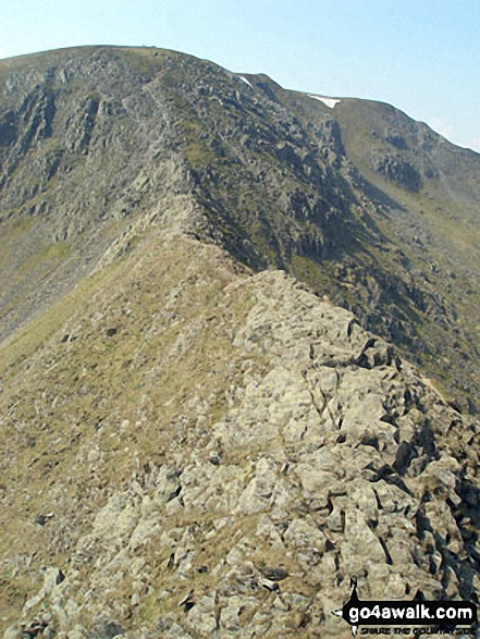
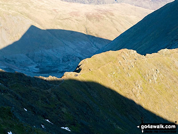
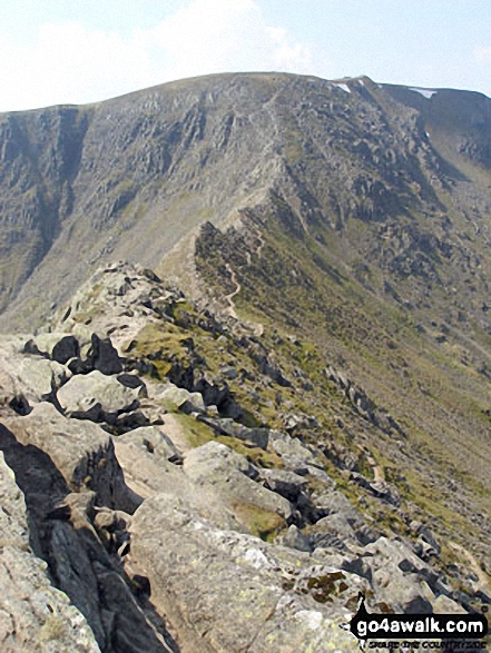
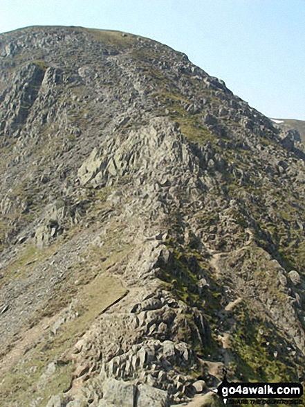
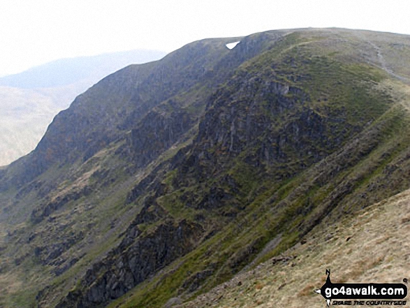
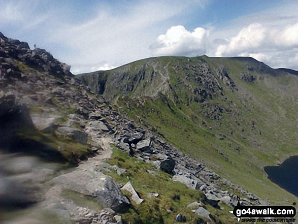
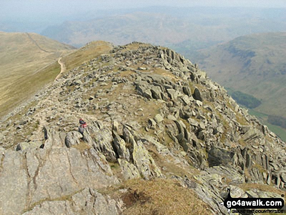
Striding Edge (High Spying How) from Swallow Scarth, between Helvellyn and Nethermost Pike
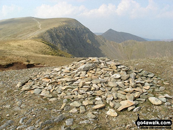
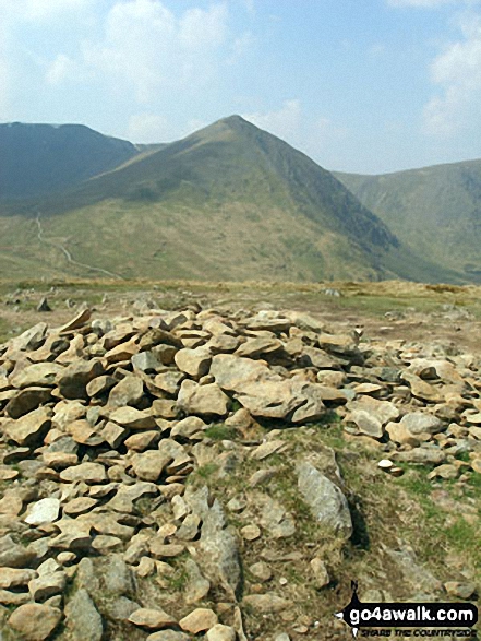
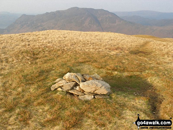
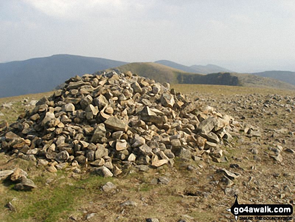
Birkhouse Moor summit cairn - with Striding Edge (High Spying How), Helvellyn, Swirral Edge and Catstye Cam beyond
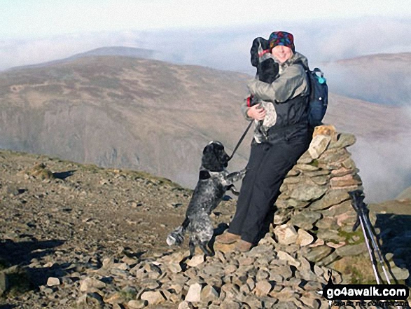
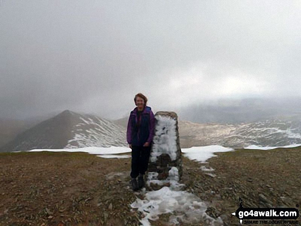
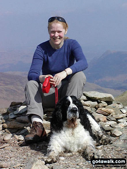
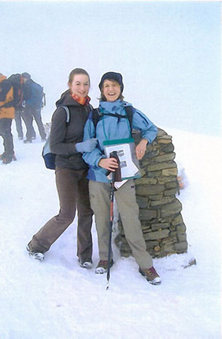
Lesley and the 2 Cocker Spaniels, Millie and Monty, on Helvellyn in November 2011
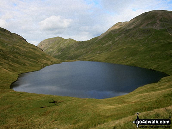
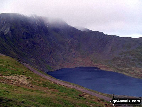
Grisedale Tarn in the snow with St Sunday Crag (centre left) and Fairfield (right)
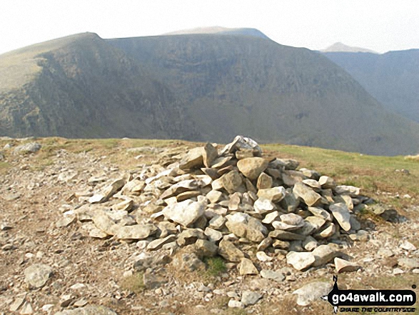
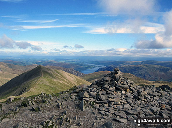
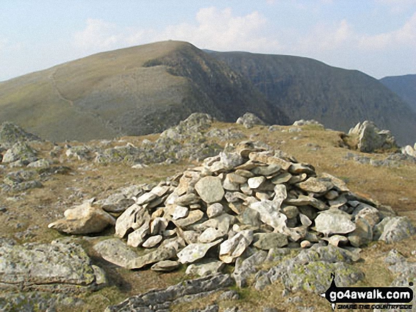
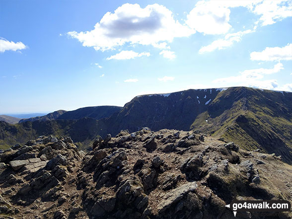
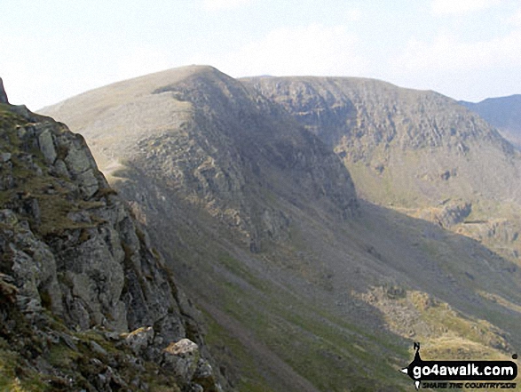
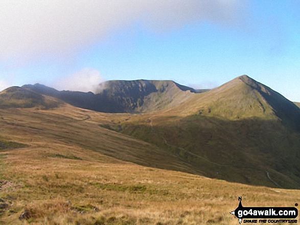
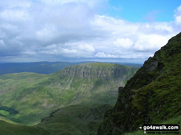
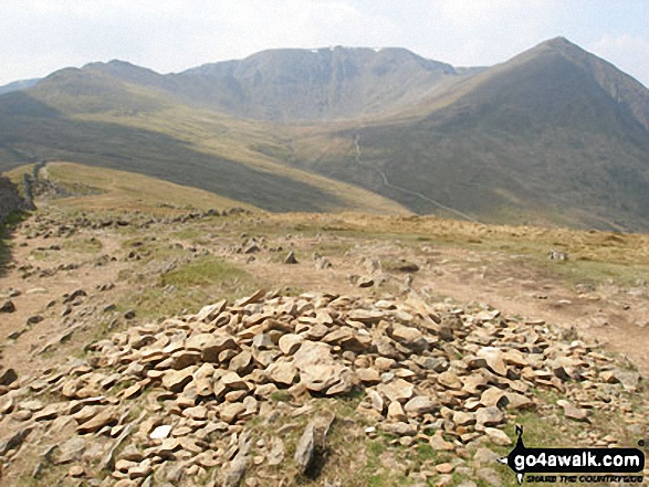
Nethermost Pike, Helvellyn and Striding Edge (High Spying How) from High Crag (Helvellyn)
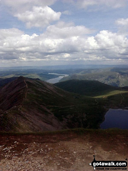
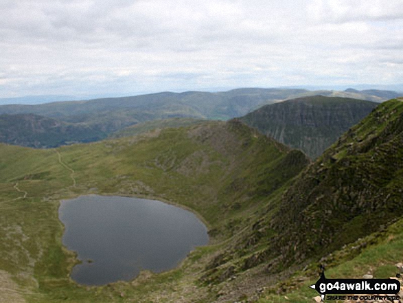
Swirral Edge, Catstye Cam, Red Tarn (Helvellyn) and Ullswater from the summit of Helvellyn

Striding Edge (High Spying How) (left), Helvellyn and Swirral Edge (right) from above Hole-in-the-Wall
Striding Edge (High Spying How) (left) and Helvellyn from the approach to Hole-in-the-Wall
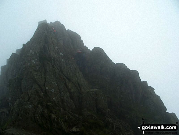
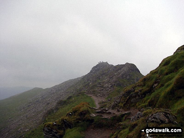
Helvellyn from the 'Bad Step' at the western end of Striding Edge (High Spying How)
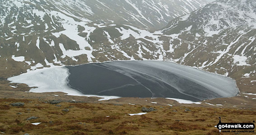
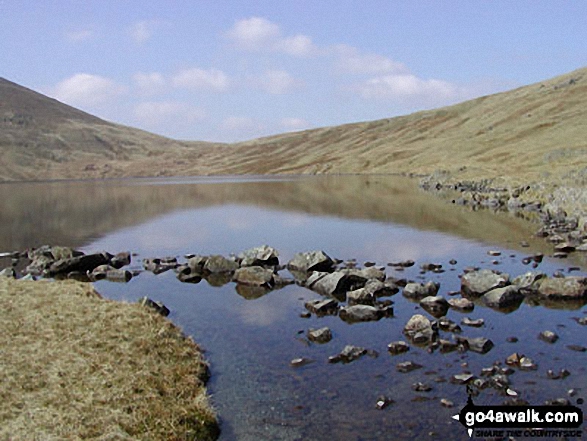
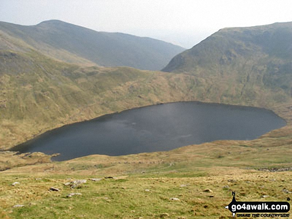
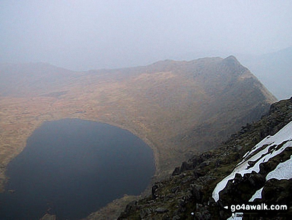
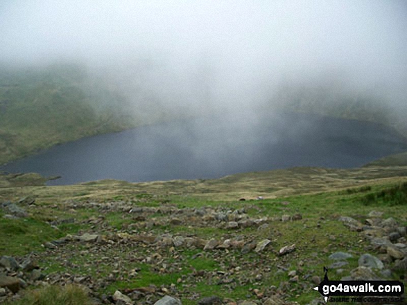
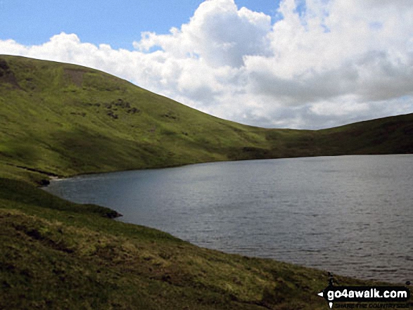
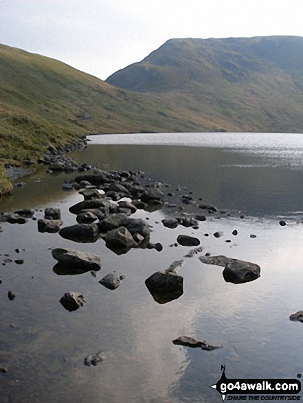
A frozen Grisedale Tarn from the lower slopes of Dollywaggon Pike in the snow
Cofa Pike and Fairfield from High Crag (Helvellyn) with Red Screes in the distance
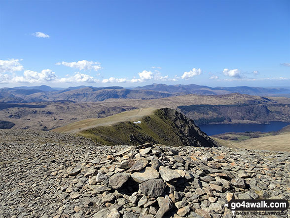
Striding Edge (High Spying How) basking in glorious September Sun viewed from Helvellyn
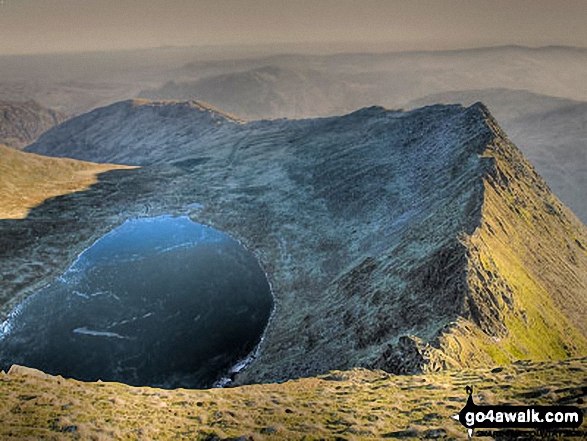
Red Tarn (Helvellyn) and Striding Edge (High Spying How) from Helvellyn summit
Grisedale Tarn, St Sunday Crag and the shoulder of Fairfield from Seat Sandal
Glenridding Dodd (left), Ullswater and Place Fell from near Hole-in-the-Wall on the lower slopes of Helvellyn
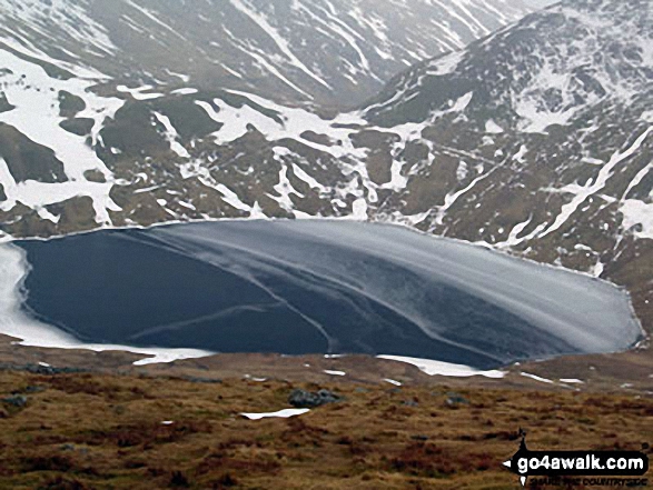
A frozen Grisedale Tarn from the lower slopes of Dollywaggon Pike in the snow
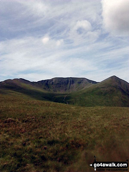
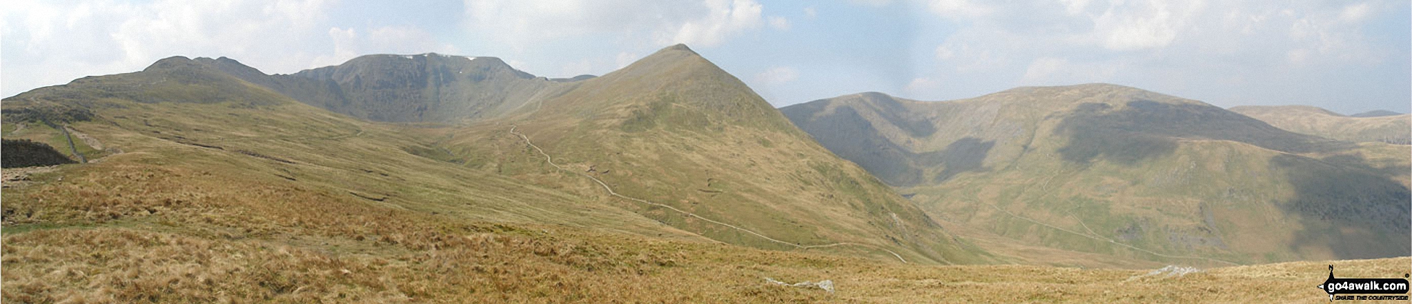
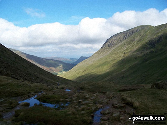
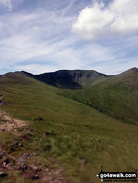
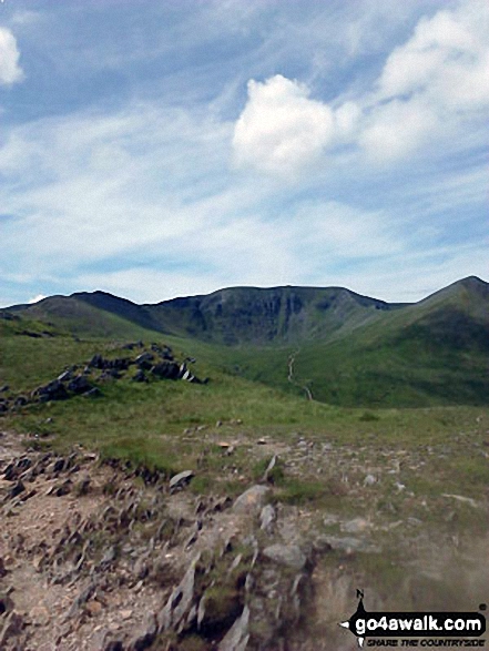
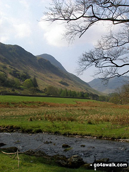
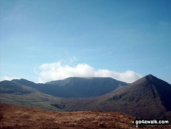
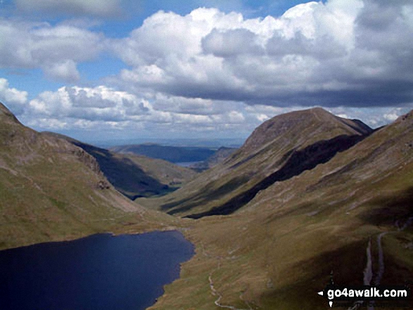
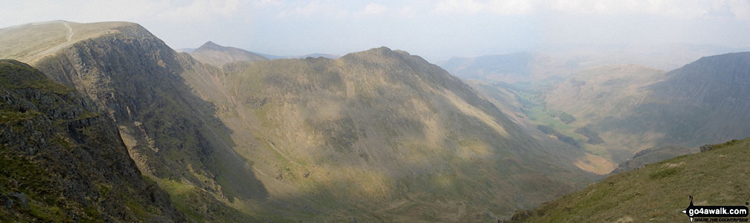
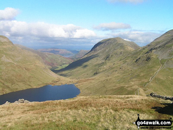
The head of the Grisedale Valley with Dollywaggon Pike to the left, High Crag, Nethermost Pike and then Helvellyn (far right) from near Brownend Plantation
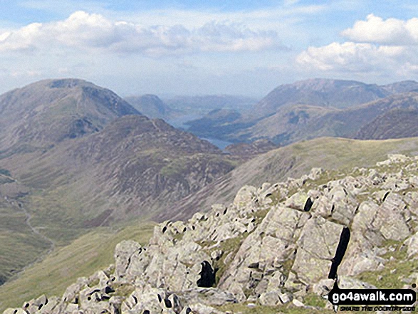
High Stile, High Crag & Hay Stacks, Crummock Water & Buttermere and Grasmoor from the top of Green Gable
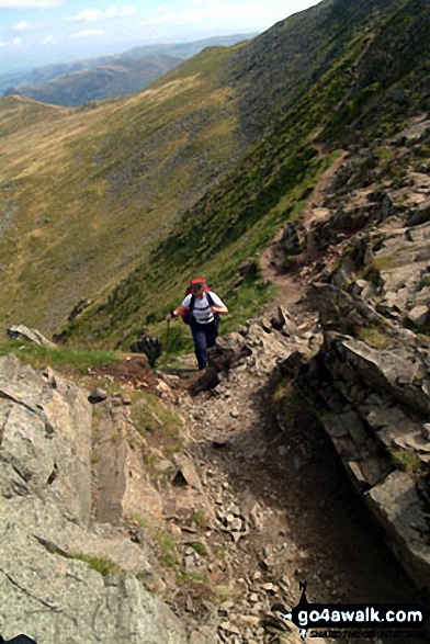
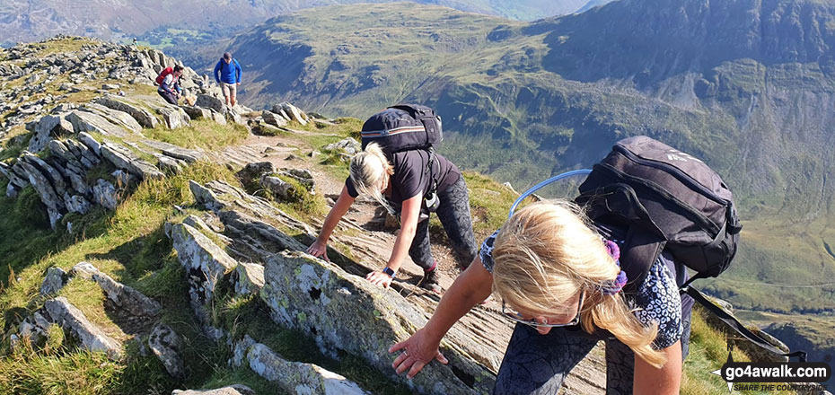
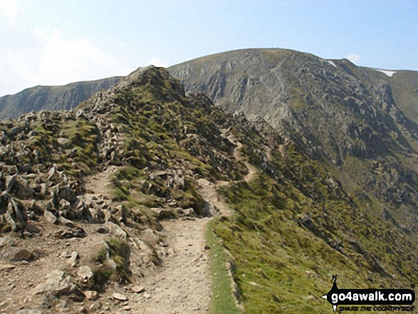
Approaching Striding Edge (High Spying How) and Helvellyn via Low Spying How and Bleaberry Crag
The shoulder of St Sunday Crag and Birks (left), Catstye Cam, Birkhouse Moor (centre) and Sheffield Pike from Arnison Crag, Patterdale

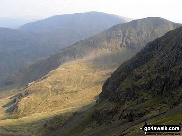
Looking up Grisedale to St Sunday Crag & Fairfield (left), Grisedale Hause, Dollywaggon Pike, High Crag (Helvellyn) & Nethermost Pike from below Hole-in-the-Wall
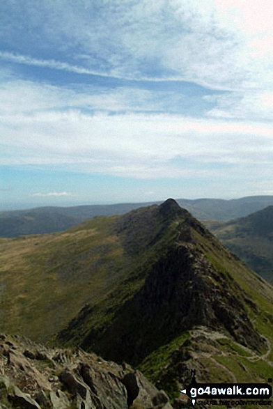
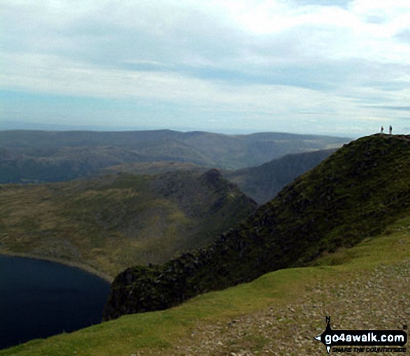
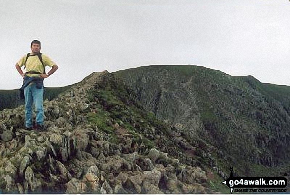
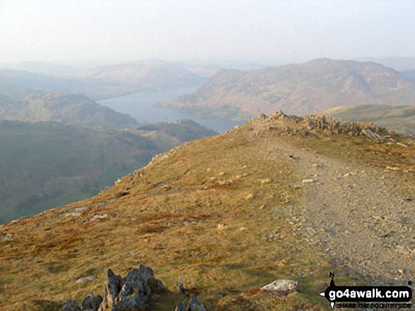
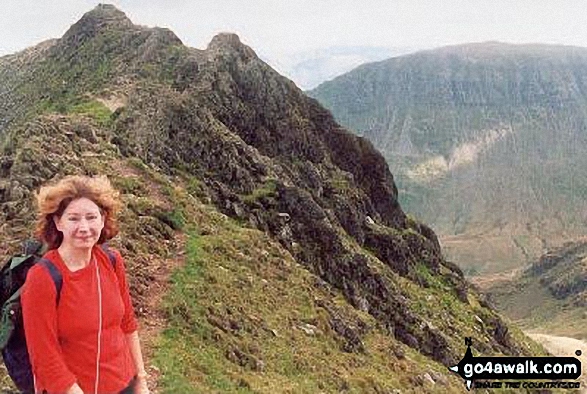
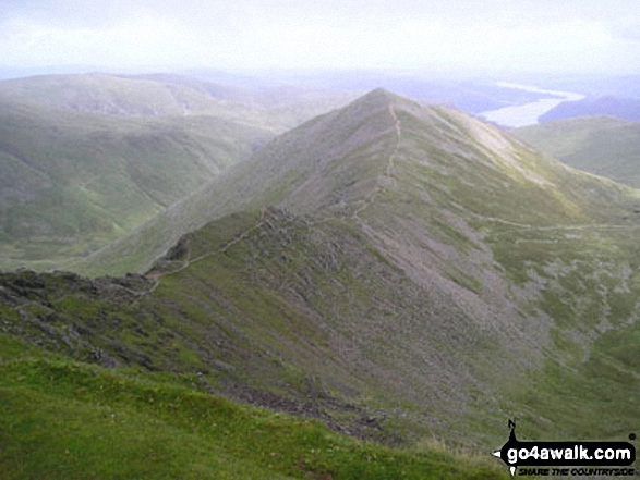
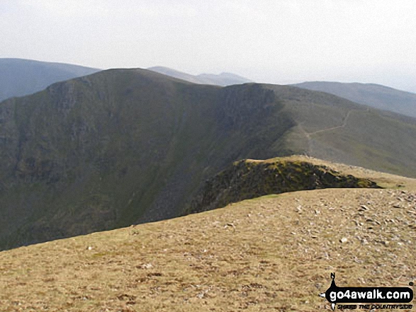
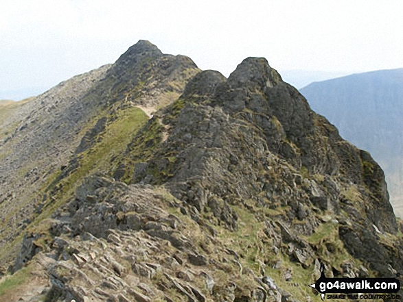
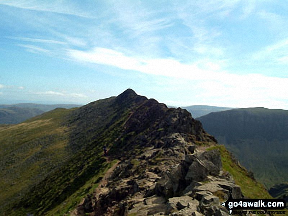
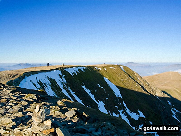
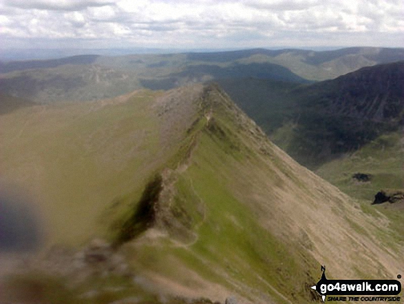
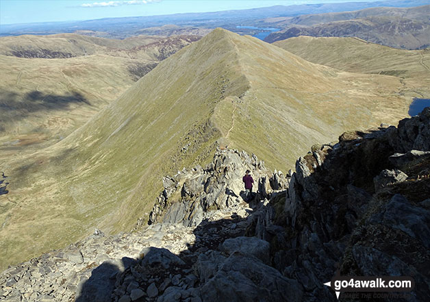
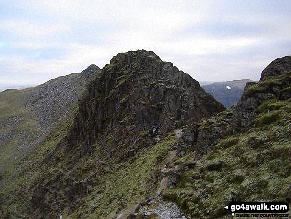
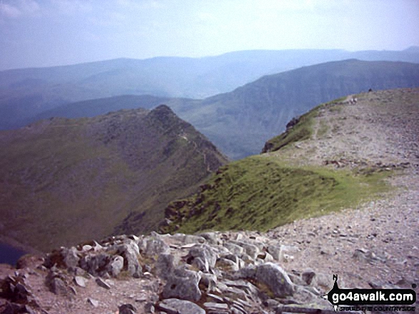
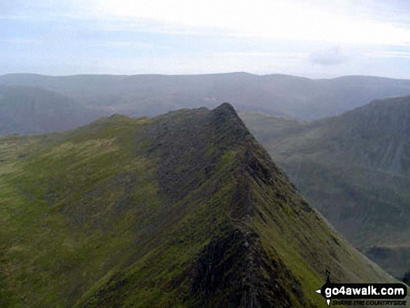
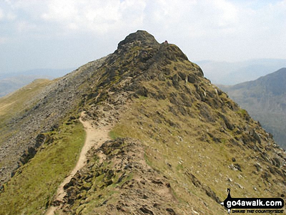
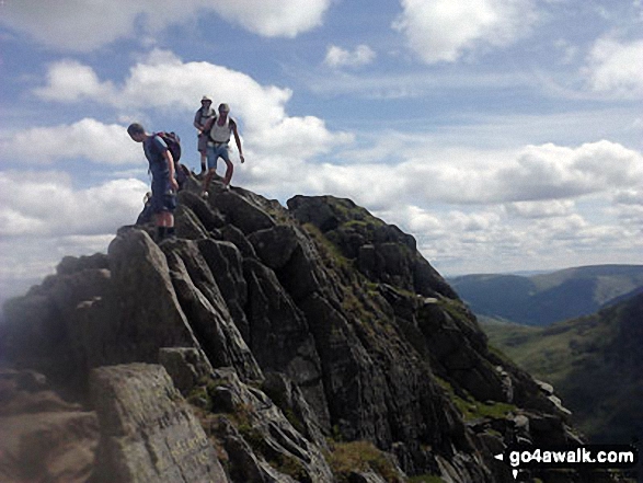
Looking back east along Striding Edge (High Spying How) toward St Sunday Crag
Send us your photographs and pictures from your walks and hikes
We would love to see your photographs and pictures from walk c264 The Grisedale Round from Patterdale. Send them in to us as email attachments (configured for any computer) along with your name and where the picture was taken to:
and we shall do our best to publish them.
(Guide Resolution = 300dpi. At least = 660 pixels (wide) x 440 pixels (high).)

You can also submit photos from walk c264 The Grisedale Round from Patterdale via our Facebook Page.
NB. Please indicate where each photo was taken.


