One easy to follow pub walk from The Royal Oak, Dhustone, Shropshire, England
To reach The Royal Oak, Dhustone, in-car SatNav users should select the Latitude/Longitude (Lat Lon) screen and enter:
Lat = N52.37840 and Lon = W 2.61692
Tap/mouse over a coloured circle (1-3 easy walks, 4-6 moderate walks, 7-9 hard walks) and click to select.
Tap/mouse over a coloured circle (1-3 easy walks, 4-6 moderate walks, 7-9 hard walks) and click to select.
One easy to follow pub walk from The Royal Oak, Dhustone, Shropshire, England
Scroll down the list of walks below & click on each walk title (in blue) to locate it on the map above.
   |
Vital Statistics:
| Length: | 4 miles (6.5 km) |
| Ascent: | 1,011ft (308m) |
| Time: | 2½ hrs |
| Grade: |  |
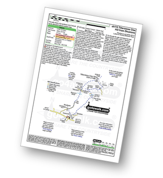
Route Summary:
Dhustone - The Shropshire Way - Nine Spring Farm - Titterstone Incline - Titterstone Clee Hill - Hullabaloo House - Titterstone - Benson' Brook - Woodlands - Greenacres - Dhustone


