
![]()
Todd Fell
401m (1316ft)
The Far Eastern Marches, The Lake District, Cumbria, England
Not familiar with this top?
See Todd Fell and the surrounding tops on our free-to-access 'Google Style' Peak Bagging Maps:
The Far Eastern Marches area of The Lake District National Park
Less data - quicker to download
The Whole of The Lake District National Park
More data - might take a little longer to download
A go4awalk.com downloadable Peak Bagging Map in PDF format featuring Todd Fell should be available soon.
You can find Todd Fell & all the walks that climb it on these unique free-to-access Interactive Walk Planning Maps:
1:25,000 scale OS Explorer Map (orange/yellow covers):
1:50,000 scale OS Landranger Map (pink/magenta covers):
 Fellow go4awalkers who have already walked, climbed, summited & bagged Todd Fell
Trevor Williams walked up Todd Fell on December 14th, 2018 [with] paul
Christine Shepherd climbed Todd Fell on August 11th, 2015 [from/via/route] Walked from Dryhowe Bridge using Wainwright's Outlying Fells. [with] On my own [weather] Dull for August. I was in cloud as I walked over this fell but it soon cleared.
Clive Ward bagged Todd Fell on April 14th, 2015 [from/via/route] See Whiteside Pike
Mark Davidson hiked Todd Fell on September 16th, 2014 [with] Alone [weather] Warm & sunny in the morning but went a bit cloudy after lunch
Louise Sandwith, Paul Booth and David Preston have all walked, climbed & bagged Todd Fell.
To add (or remove) your name and experiences on this page - Log On and edit your Personal Mountain Bagging Record
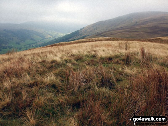
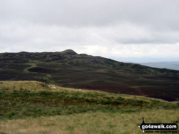
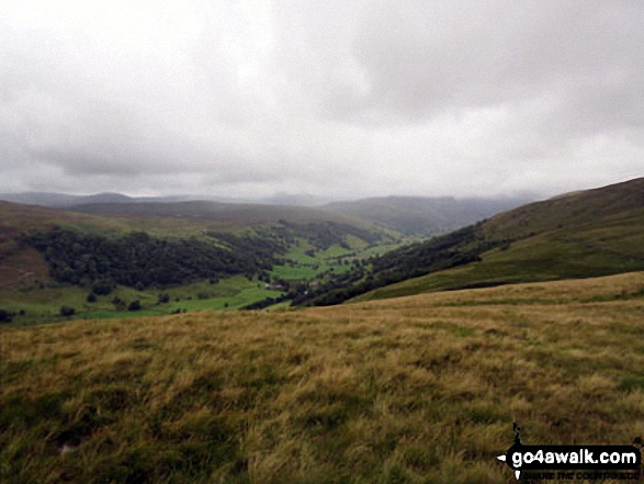
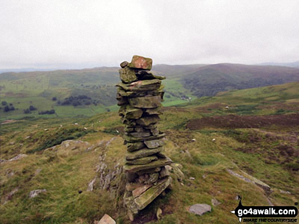
More Photographs & Pictures of views from, on or of Todd Fell
Send us your photographs and pictures on, of, or from Todd Fell
If you would like to add your walk photographs and pictures featuring views from, on or of Todd Fell to this page, please send them as email attachments (configured for any computer) along with your name to:
and we shall do our best to publish them.
(Guide Resolution = 300dpi. At least = 660pixels (wide) x 440 pixels (high).)

You can also submit photos via our Facebook Page.
NB. Please indicate where each photo was taken and whether you wish us to credit your photos with a Username or your First Name/Last Name.
Not familiar with this top?


