
![]()
Loughrigg Fell
335m (1099ft)
The Central Fells, The Lake District, Cumbria, England
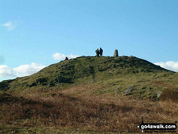
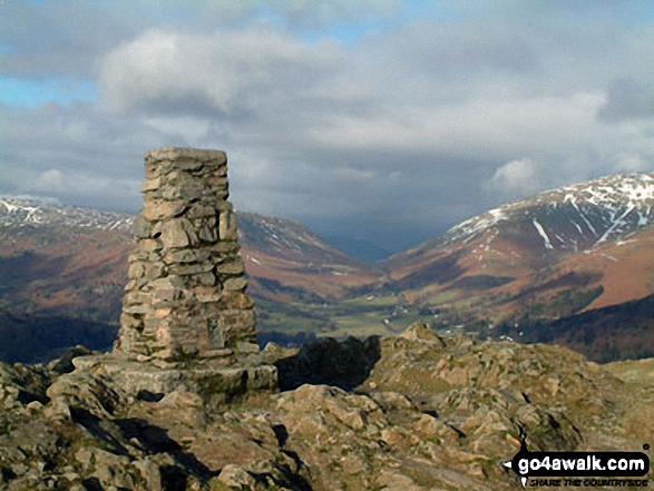
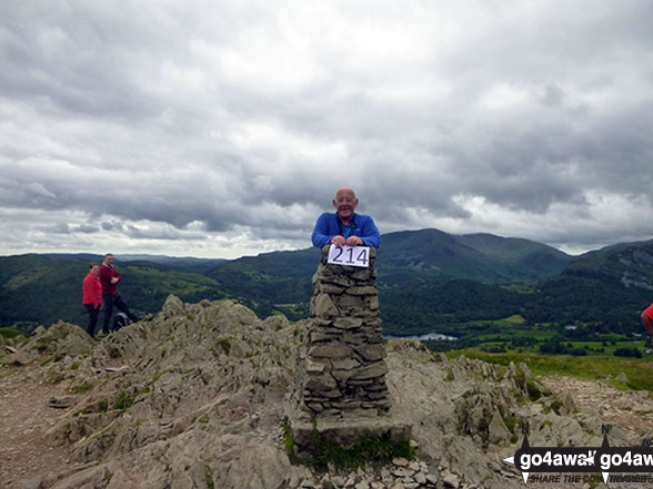
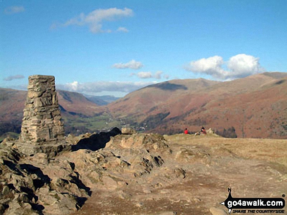
The summit of Loughrigg Fell is marked by an Ordnance Survey Trig Point.
Not familiar with this top?
   |
|---|
Vital Statistics:
| Length: | 5.25ml (8.5km) |
|---|---|
| Ascent: | 1,099ft (335m) |
| Time: | 3 hrs |
| Grade: |  (Moderate) (Moderate) |
Route Summary:
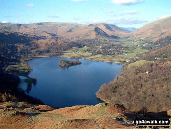
Elterwater - Walthwaite Common - Huntingstile Crag - Red Bank Wood - Loughrigg Terrace - Loughrigg Fell - Ivy Crag - Loughrigg Tarn - Tarn Foot - Skelwith Bridge - River Brathay - Skelwith Force - The Cumbria Way - Elter Water - Elterwater
|
|---|
Vital Statistics:
| Length: | 6ml (9.5km) |
|---|---|
| Ascent: | 1,401ft (427m) |
| Time: | 3½ hrs |
| Grade: | (Moderate) |
Route Summary:
Ambleside - Rothay Park - Ivy Fell - Loughrigg Fell - Loughrigg Terrace - Rydal Water - Loughrigg Caves - River Rothay - Pelter Bridge - Ambleside
See Loughrigg Fell and the surrounding tops on our free-to-access 'Google Style' Peak Bagging Maps:
The Central Fells of The Lake District National Park
Less data - quicker to download
The Whole of The Lake District National Park
More data - might take a little longer to download
See Loughrigg Fell and the surrounding tops on our downloadable Peak Bagging Maps in PDF format:

NB: Whether you print off a copy or download it to your phone, these PDF Peak Baggers' Maps might prove incredibly useful when your are up there on the tops and you cannot get a phone signal.
*This version is marked with the walk routes you need to follow to Walk all 214 Wainwrights in just 59 walks.
You can find Loughrigg Fell & all the walks that climb it on these unique free-to-access Interactive Walk Planning Maps:
1:25,000 scale OS Explorer Map (orange/yellow covers):
1:50,000 scale OS Landranger Map (pink/magenta covers):
 Fellow go4awalkers who have already walked, climbed, summited & bagged Loughrigg Fell
Iain Jones walked up Loughrigg Fell on March 13th, 2015 [from/via/route] Ambleside [with] Nicola Robins - 03 January 2016 - Trail Run from Ambleside; 19 July 2019 - Mountain Run Running Course; 31 July 2025 - Trail Run from Skelwith Bridge
Nick Tippins climbed Loughrigg Fell on July 4th, 2025 [from/via/route] c232: Loughrigg Fell from Ambleside [with] Fran
James Hughes bagged Loughrigg Fell on February 12th, 2024 [from/via/route] From Ambleside after Wansfell [weather] Mostly Dry with wind picking up at Fell Summit. Some light rain on the way down.
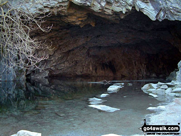
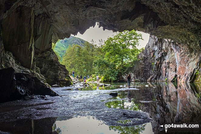
Melfyn Parry hiked Loughrigg Fell on November 19th, 2023 [from/via/route] Started from Ambleside, walking though Rothay Park, following the river Rothay until almost at A591, then turning left over cattle grid to climb through woodland path up above Rydal Water. Stayed on the high level path with a brief detour to visit the enormous caves to reach Loughrigg Terrace with great views over Grasmere. From the end of the terrace a steep stone step path climbs to the summit of Loughrigg Fell at 335m. From here we descended to the edge of Loughrigg Tarn & followed the path partially around the lake & past a caravan site, on reaching some properties the path bears sharp left & climbs alongside a wall under Ivy Cragg, eventually bearing right to ascend to the summit of Todd Crag. From here passing Lily Tarn we dropped down to reach the outbound path at the footbridge & retraced our route through the park back to Ambleside. [with] DS & MW [weather] Fine drizzle until lunchtime, very wet conditions throughout the day. Visibility was good as walk was all below 400m - Walk was about 14.5km
David Higginbottom summited Loughrigg Fell on October 9th, 2023 [from/via/route] From elterwater town up & down 7k [with] Carolyn [weather] Good
Nina Adams conquered Loughrigg Fell on May 6th, 2023 [from/via/route] Ambleside - Loughrigg Fell - Elterwater - Langdale - Stickle Tarn [with] Craig [weather] Cloudy 16C
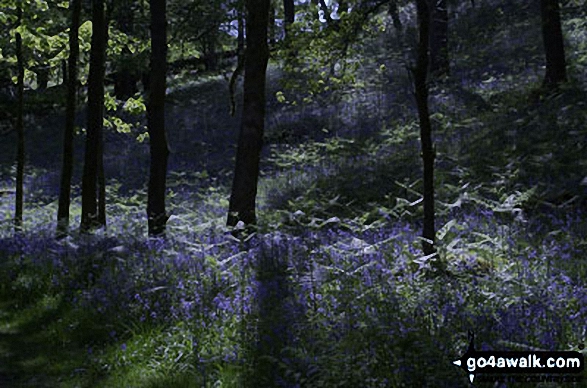
Martin Hartshorne scaled Loughrigg Fell on May 16th, 2023 [from/via/route] Underherron cottage loughrigg terrace, rydal caves [with] finley [weather] very light drizzle then sunshine. Slight breeze at times - Bluebells all over
hannah1507 walked up Loughrigg Fell on April 10th, 2023 [from/via/route] c232 Loughrigg Fell from Ambleside [with] Lilly
Christine Shepherd climbed Loughrigg Fell on August 27th, 2010 [from/via/route] Walked from Rydal [with] On my own [weather] Hot & sunny - Decided to bag this on the way home after climbing Blencathra in the morning. I had climbed Loughrigg as a teenager but had no idea of the date so wanted to bag it again. A great little walk. Climbed again on 2.12.17 after watching my friend run in the Langdale Christmas Pudding race. Climbed again on 13.2.23 from the path round Loughrigg Tarn.
Simon Myerscough has bagged Loughrigg Fell [from/via/route] Ambleside [with] Joanne [weather] Very windy
To add (or remove) your name and experiences on this page - Log On and edit your Personal Mountain Bagging Record
. . . [see more walk reports]
More Photographs & Pictures of views from, on or of Loughrigg Fell
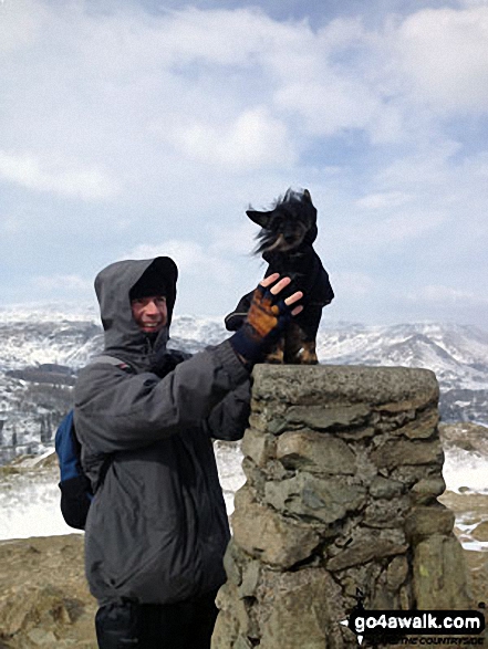
My partner Anthony and our lovely dog Cookie on top of Loughrigg Fell on a blustery Sunday
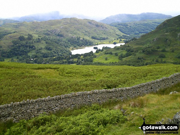
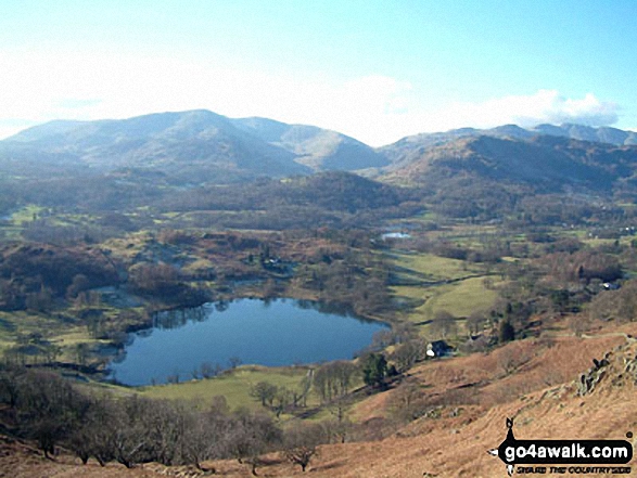

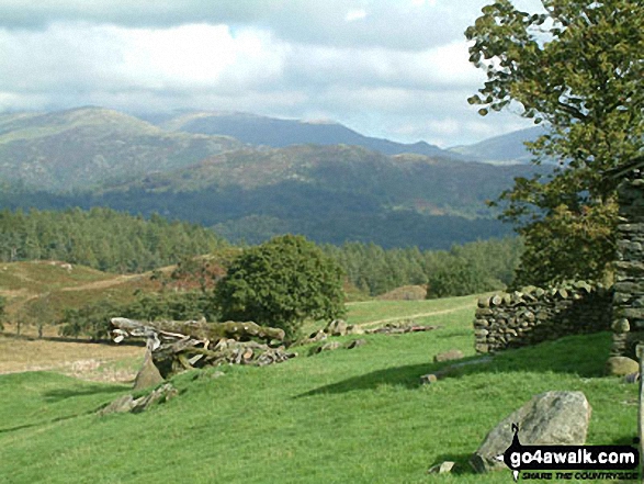
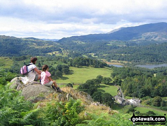
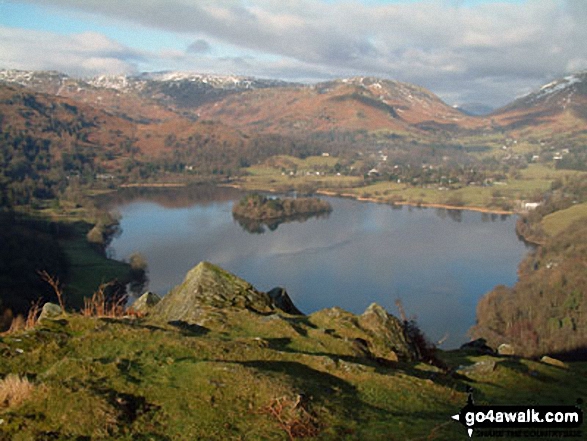
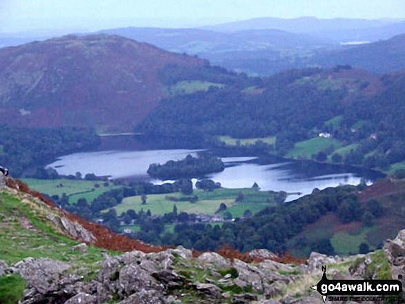
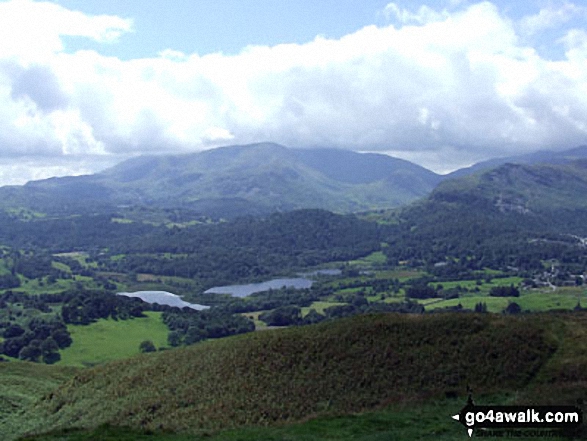
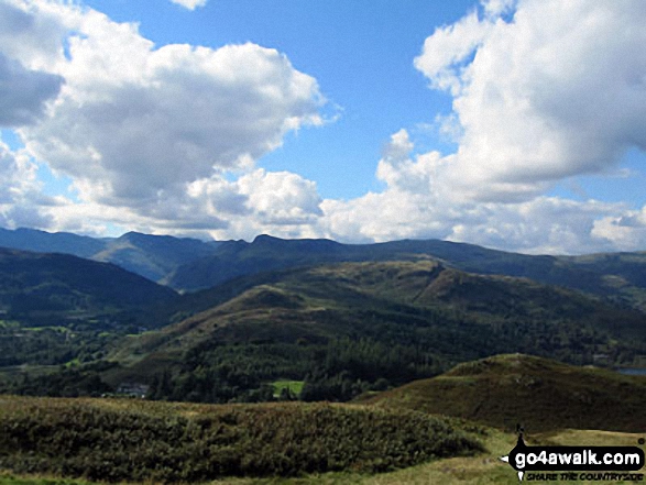
On the summit of Loughrigg Fell, looking towards Elterwater with the Langdale Pikes to the right

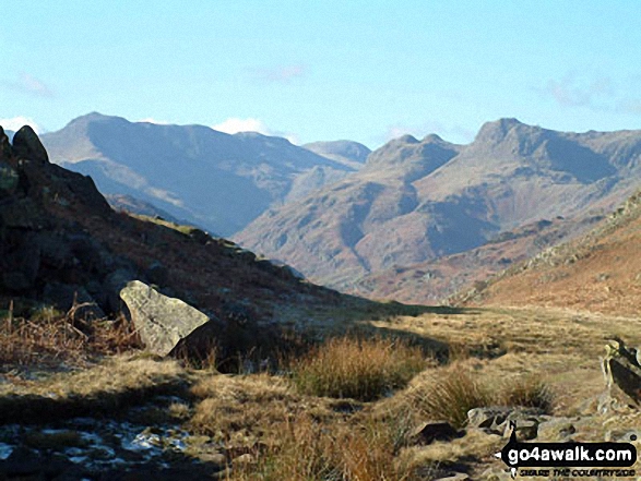
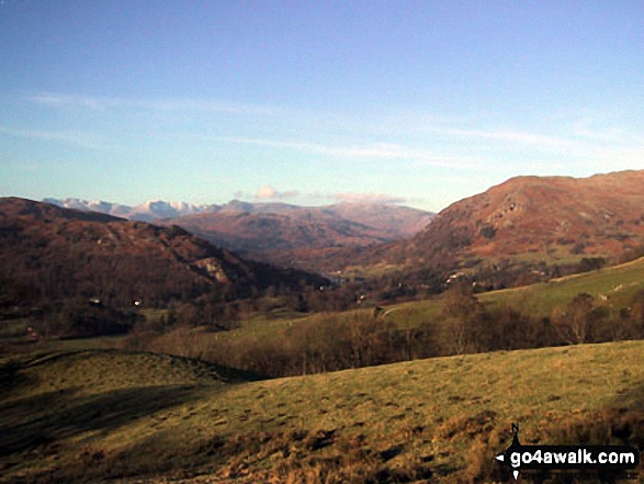
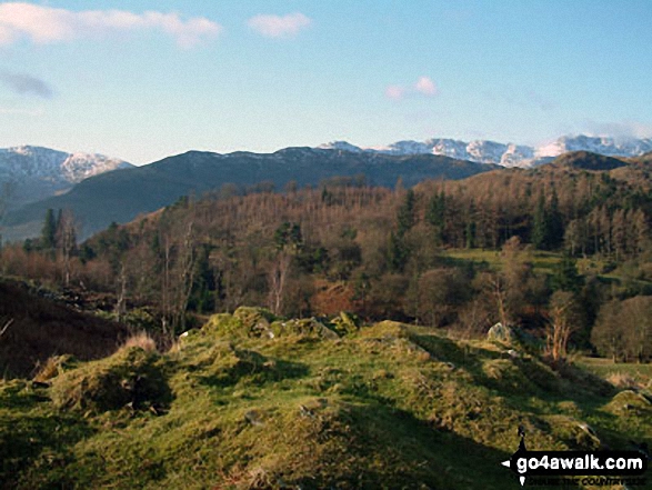
*The Coniston Fells, The Langdale Pikes, High Raise, The Helvellyn Ridge, Fairfield, Seat Sandal, Great Rigg, Heron Pike and finally Loughrigg Fell from Lang How
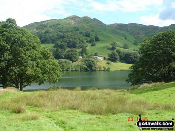
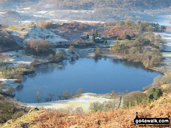
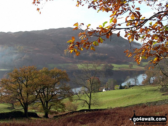
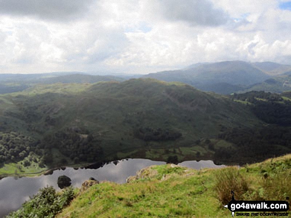
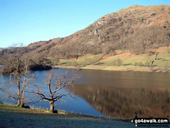
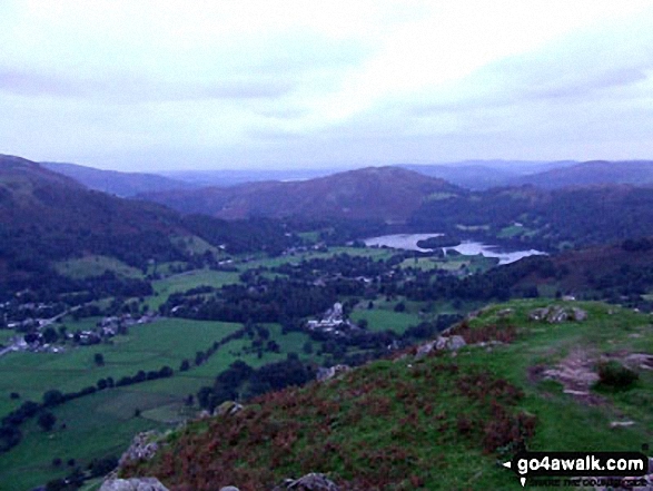
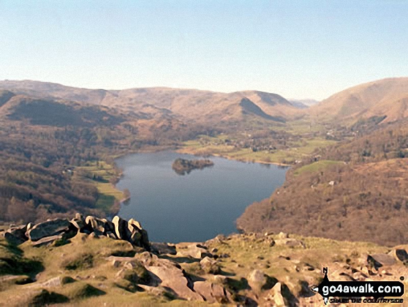
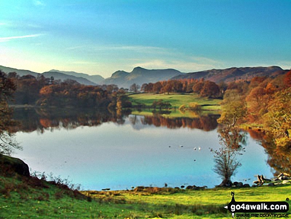
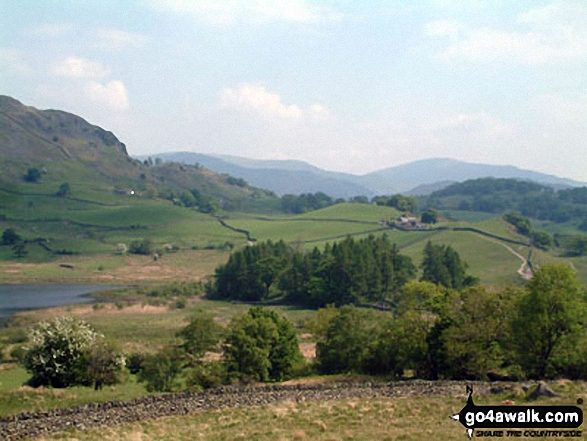
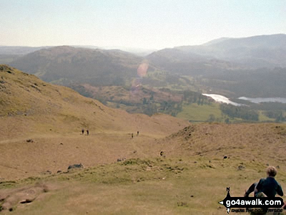
Loughrigg Fell (left), Rydal Water and Nab Scar from High Sweden Coppice
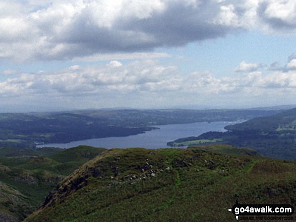
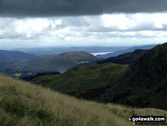
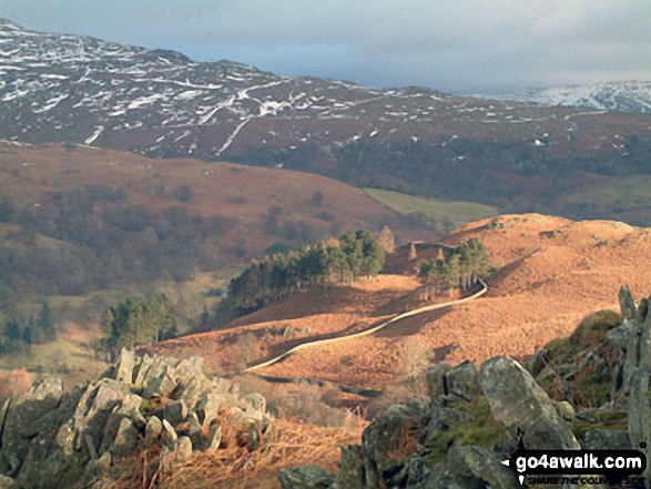
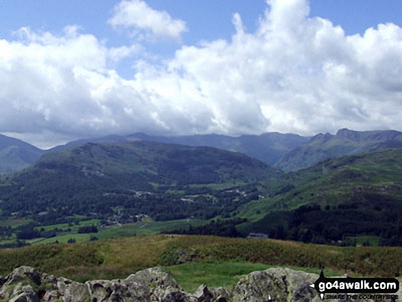
Loughrigg Fell with Windermere beyond from between Steel Fell (Dead Pike) and Calf Crag
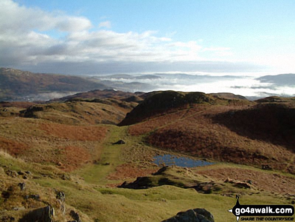
. . . see just 20 walk photographs & pictures of views from, on or of Loughrigg Fell
Send us your photographs and pictures on, of, or from Loughrigg Fell
If you would like to add your walk photographs and pictures featuring views from, on or of Loughrigg Fell to this page, please send them as email attachments (configured for any computer) along with your name to:
and we shall do our best to publish them.
(Guide Resolution = 300dpi. At least = 660pixels (wide) x 440 pixels (high).)

You can also submit photos via our Facebook Page.
NB. Please indicate where each photo was taken and whether you wish us to credit your photos with a Username or your First Name/Last Name.
Not familiar with this top?


