![]()
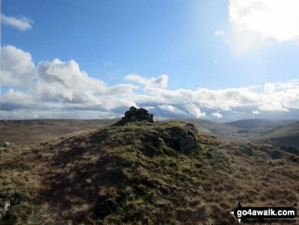
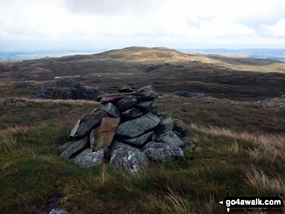
High Wether Howe
531m (1743ft)
The Far Eastern Marches, The Lake District, Cumbria, England
Not familiar with this top?
   |
|---|
Vital Statistics:
| Length: | 7.75mls (12.5km) |
|---|---|
| Ascent: | 1,168ft (356m) |
| Time: | 4 hrs |
| Grade: |  (Moderate) (Moderate) |
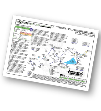
Route Summary:
Wet Sleddale Reservoir - Selside Beck - Michael Moss - Selside Hall - Scam Matthew - High Wether Howe - Haskew Tarn - Seat Robert - Great Ladstones - Bleak Hill - Willy Fold - White Crag - Peat Hill - Stackhouse Brow - Green Farm - Throney Bank Farm - River Lowther - Cooper Green Farm - eddale Reservoir.
|
|---|
Vital Statistics:
| Length: | 11.25mls (18km) |
|---|---|
| Ascent: | 1,614ft (492m) |
| Time: | 5.75hrs |
| Grade: |  (Moderate) (Moderate) |
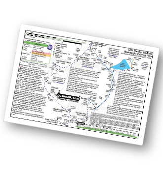
Route Summary:
Wet Sladdale Reservoir - Poor Hag Wood - Poorhag Gill - Wetsleddale Moor Lunch House - Howe Gill - The Shap Fells - Gray Bull - Sherry Gill - Sleddale Pike - Wasdale Pike - Great Yarlside - Great Saddle Crag - Ulthwaite Rigg - Scam Matthew - High Wether Howe - Haskew Tarn - Seat Robert - Gambling Crag - Willy Winder Hill - Great Ladstones - Bleak Hill - Willy Fold - White Crag - Michael Moss - Sleddale Hall - Sleddale Beck - Wet Sladdale Reservoir.
See High Wether Howe and the surrounding tops on our free-to-access 'Google Style' Peak Bagging Maps:
The Far Eastern Marches area of The Lake District National Park
Less data - quicker to download
The Whole of The Lake District National Park
More data - might take a little longer to download
A go4awalk.com downloadable Peak Bagging Map in PDF format featuring High Wether Howe should be available soon.
You can find High Wether Howe & all the walks that climb it on these unique free-to-access Interactive Walk Planning Maps:
1:25,000 scale OS Explorer Maps (orange/yellow covers):
1:50,000 scale OS Landranger Map (pink/magenta covers):
 Fellow go4awalkers who have already walked, climbed, summited & bagged High Wether Howe
Christine Shepherd walked up it on April 5th, 2016 [from/via/route] Walked from the Swindale end of the Bampton Road. [with] On my own [weather] Mixed, cloudy, sunny & windy in equal measure. The rain held off apart from a couple of drops. - An easy summit to locate because of its position above Haskew tarn but paths are few & far between.
Mark Davidson climbed it on September 22nd, 2014 [with] Alone [weather] Nice & sunny for late September - Lots of tussocky grass & bog - not many paths
Louise Sandwith and David Preston have both walked, climbed & bagged High Wether Howe.
To add (or remove) your name and experiences on this page - Log On and edit your Personal Mountain Bagging Record
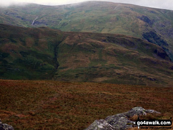
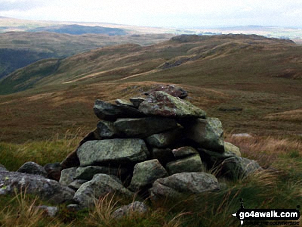
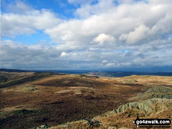
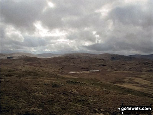
More Photographs & Pictures of views from, on or of High Wether Howe

Send us your photographs and pictures on, of, or from High Wether Howe
If you would like to add your walk photographs and pictures to this page, please send them as email attachments (configured for any computer) along with your name to:
and we shall do our best to publish them.
(Guide Resolution = 300dpi. At least = 660pixels (wide) x 440 pixels (high).)

You can also submit photos via our Facebook Page.
NB. Please indicate where each photo was taken and whether you wish us to credit your photos with a Username or your First Name/Last Name.
Not familiar with this top?