
![]()
Steyning Round Hill
189m (620ft)
The South Downs, West Sussex, England
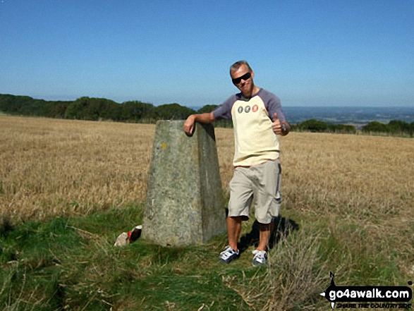
The summit of Steyning Round Hill is marked by an Ordnance Survey Trig Point.
Not familiar with this top?
   |
|---|
Vital Statistics:
| Length: | 3.75ml (6km) |
|---|---|
| Ascent: | 689ft (210m) |
| Time: | 2.25hrs |
| Grade: |  (Easy) (Easy) |
Route Summary:
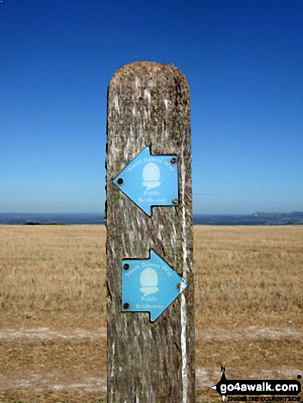
Steyning - Spring Meadows Farm - The South Downs Way - Steyning Round Hill - The Monarch's Way - Pepperscoombe Farm - Steyning
Free-to-access Interactive Walk Planning Maps:
 Fellow go4awalkers who have already walked, climbed, summited & bagged Steyning Round Hill
To add (or remove) your name and experiences on this page - Log On and edit your Personal Mountain Bagging Record
More Photographs & Pictures of views from, on or of Steyning Round Hill
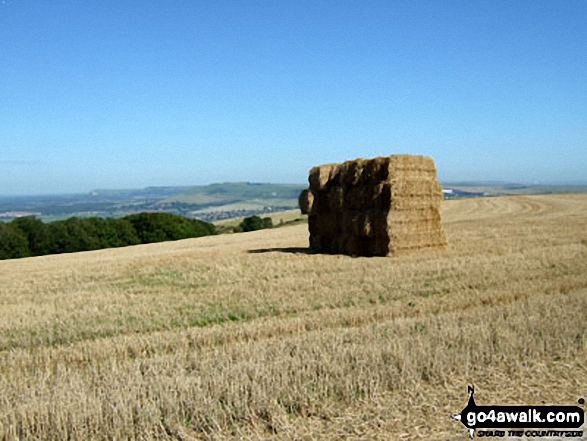
Hay Bale Stack on The South Downs Way where it crosses Steyning Round Hill
Send us your photographs and pictures on, of, or from Steyning Round Hill
If you would like to add your walk photographs and pictures featuring views from, on or of Steyning Round Hill to this page, please send them as email attachments (configured for any computer) along with your name to:
and we shall do our best to publish them.
(Guide Resolution = 300dpi. At least = 660pixels (wide) x 440 pixels (high).)

You can also submit photos via our Facebook Page.
NB. Please indicate where each photo was taken and whether you wish us to credit your photos with a Username or your First Name/Last Name.
Not familiar with this top?


