
![]()
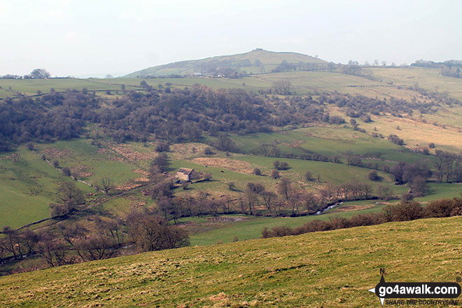
Sheen Hill
380m (1247ft)
The White Peak Area, The Peak District, Staffordshire, England
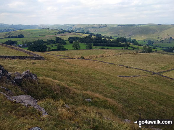
Sheen Hill is on private farmland. However, the kind owners seem not to mind visitors to the summit Trig Point providing they stay away from the farmhouse.
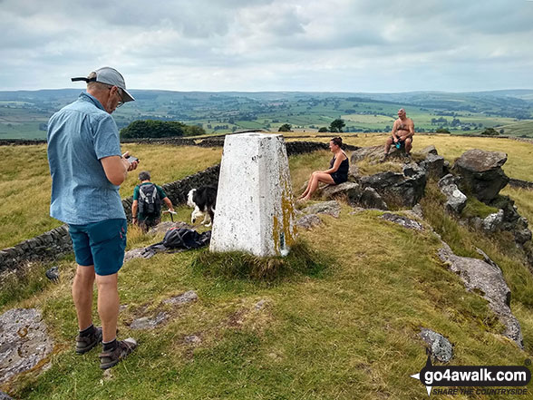
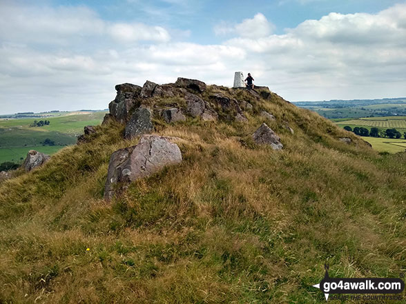
The summit of Sheen Hill is marked by an Ordnance Survey Trig Point.
Not familiar with this top?
   |
|---|
Vital Statistics:
| Length: | 11ml (17.5km) |
|---|---|
| Ascent: | 1,342ft (409m) |
| Time: | 5.25hrs |
| Grade: |  (Moderate) (Moderate) |
Route Summary:
Longnor - River Manifold - The Manifold Trail - Over Boothlow Farm - Lower Boothlow Farm - Hill End Farm - Sheen Hill - Slate House Farm - Sheen - Brund - River Manifold - Brund Mill - New Road Farm - Field House Farm - Reaps Moor - Black Brook - Smedley Sytch - Boosley Grange - Fawfield Head - Bank House - Shining Ford - The Manifold Trail - Hardings Booth - Fawside Farm - Gauledge Farm,Longnor.
See Sheen Hill and the surrounding tops on our free-to-access 'Google Style' Peak Bagging Maps:
The White Peak Area of The Peak District National Park
Less data - quicker to download
See Sheen Hill and the surrounding tops on our downloadable Peak Bagging Map in PDF format:

NB: Whether you print off a copy or download it to your phone, this PDF Peak Baggers' Map might prove incredibly useful when your are up there on the tops and you cannot get a phone signal.
You can find Sheen Hill & all the walks that climb it on these unique free-to-access Interactive Walk Planning Maps:
1:25,000 scale OS Explorer Map (orange/yellow covers):
1:50,000 scale OS Landranger Map (pink/magenta covers):
 Fellow go4awalkers who have already walked, climbed, summited & bagged Sheen Hill
Mark Davidson walked up Sheen Hill on August 9th, 2020 [from/via/route] Alstonfield [with] Mike and John [weather] Bit cloudy but dry & warm - Great view from the top
To add (or remove) your name and experiences on this page - Log On and edit your Personal Mountain Bagging Record
More Photographs & Pictures of views from, on or of Sheen Hill
Send us your photographs and pictures on, of, or from Sheen Hill
If you would like to add your walk photographs and pictures featuring views from, on or of Sheen Hill to this page, please send them as email attachments (configured for any computer) along with your name to:
and we shall do our best to publish them.
(Guide Resolution = 300dpi. At least = 660pixels (wide) x 440 pixels (high).)

You can also submit photos via our Facebook Page.
NB. Please indicate where each photo was taken and whether you wish us to credit your photos with a Username or your First Name/Last Name.
Not familiar with this top?


