
![]()
Newton Tors
537m (1762ft)
Northumberland National Park, Northumberland, England
The summit of Newton Tors is marked by an Ordnance Survey Trig Point.
Not familiar with this top?
See Newton Tors and the surrounding tops on our free-to-access 'Google Style' Peak Bagging Map:
You can find Newton Tors & all the walks that climb it on these unique free-to-access Interactive Walk Planning Maps:
1:25,000 scale OS Explorer Map (orange/yellow covers):
1:50,000 scale OS Landranger Maps (pink/magenta covers):
 Fellow go4awalkers who have already walked, climbed, summited & bagged Newton Tors
Louise Sandwith has walked, climbed & bagged Newton Tors.
To add (or remove) your name and experiences on this page - Log On and edit your Personal Mountain Bagging Record
More Photographs & Pictures of views from, on or of Newton Tors
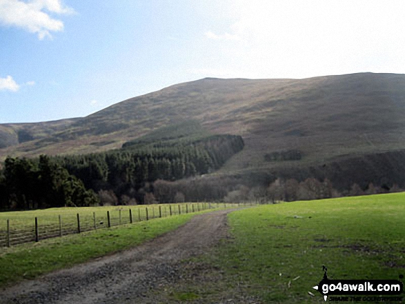
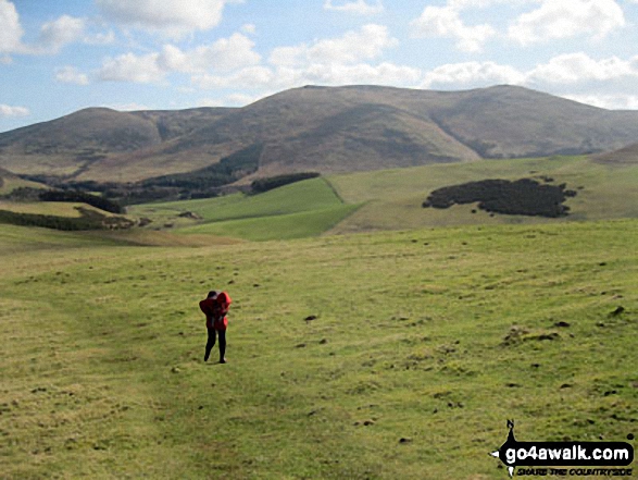
Newton Tors and Hare Law towering above Hethpool from White Hill (Hethpool)

Longknowe Hill, White Hill (Hethpool), Easter Tor, Newton Tors, Hare Law, Hethpool, Great Hetha, and Ring Chesters from East Laddie's Knowe
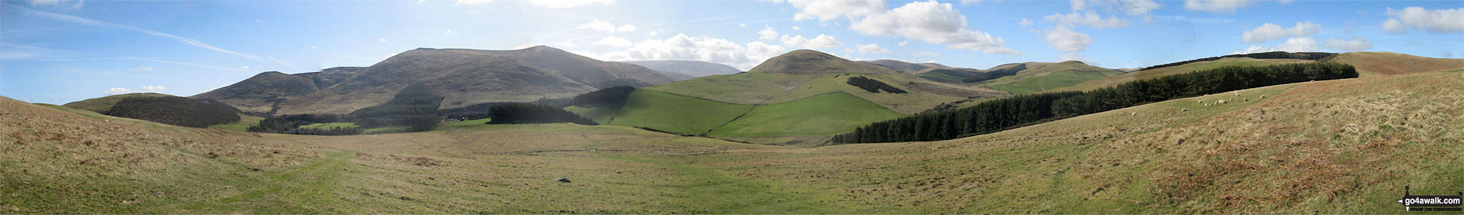
Easter Tor, Newton Tors, Hare Law, Hethpool, Great Hetha, Madam Law, Eccles Cairn and Coldsmouth Hill from White Hill (Hethpool)
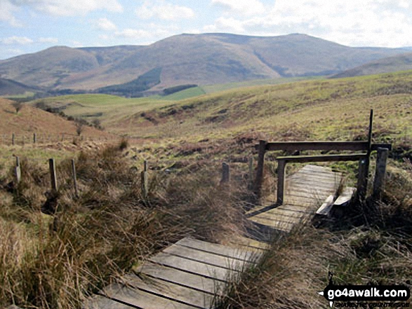
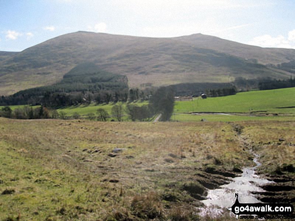
Easter Tor, Newton Tors and Hare Law from the footbridge over Black Bog (Haddon Hill)
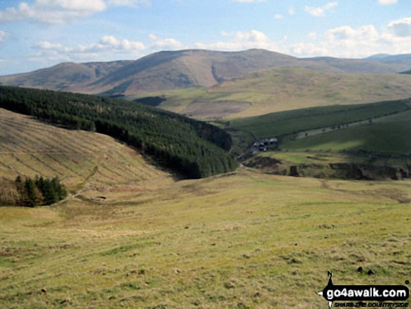
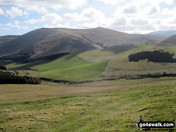
Easter Tor, Newton Tors and Hare Law with Elsdonburn Farm in the valley below from Ring Chesters
Send us your photographs and pictures on, of, or from Newton Tors
If you would like to add your walk photographs and pictures featuring views from, on or of Newton Tors to this page, please send them as email attachments (configured for any computer) along with your name to:
and we shall do our best to publish them.
(Guide Resolution = 300dpi. At least = 660pixels (wide) x 440 pixels (high).)

You can also submit photos via our Facebook Page.
NB. Please indicate where each photo was taken and whether you wish us to credit your photos with a Username or your First Name/Last Name.
Not familiar with this top?


