
![]()
Beinn Spionnaidh
773m (2537ft)
The Torridon Mountains, Assynt and The Far North, Highland, Scotland
The summit of Beinn Spionnaidh is marked by an Ordnance Survey Trig Point.

Not familiar with this top?
See Beinn Spionnaidh and the surrounding tops on our free-to-access 'Google Style' Peak Bagging Maps:
North West Sutherland and The Kyle of Tongue area of Scottish Region 16: Assynt and The Far North
Less data - quicker to download
Scottish Region 16: Assynt and The Far North
Less data - quicker to download
A go4awalk.com downloadable Peak Bagging Map in PDF format featuring Beinn Spionnaidh should be available soon.
Free-to-access Interactive Walk Planning Maps:
1:25,000 scale OS Explorer Map (orange/yellow covers):
An Interactive Walk Planning Map for OS Explorer 446 Durness & cape Wrath is not currently available
1:50,000 scale OS Landranger Map (pink/magenta covers):
An Interactive Walk Planning Map for OS Landranger 9 Cape Wrath, Durness & Scourie is not currently available
 Fellow go4awalkers who have already walked, climbed, summited & bagged Beinn Spionnaidh
Trevor Williams walked up Beinn Spionnaidh on May 9th, 2018 [with] Graham [weather] Sunny
To add (or remove) your name and experiences on this page - Log On and edit your Personal Mountain Bagging Record
More Photographs & Pictures of views from, on or of Beinn Spionnaidh
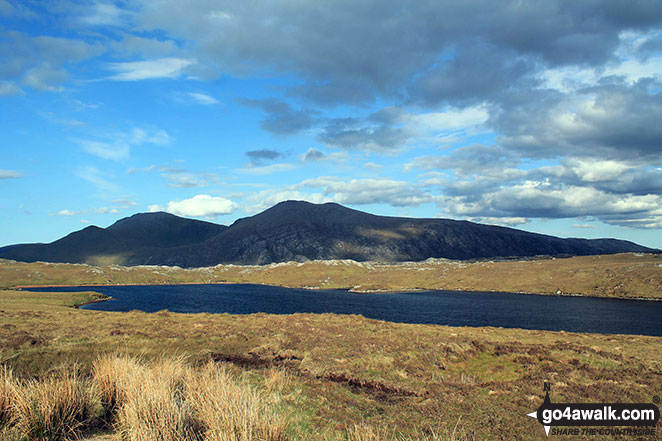
Meal nan Cra, Beinn Spionnaidh and Cranstackie from the A838 (North Coast NC500 route) at Loch Tarbhaidh
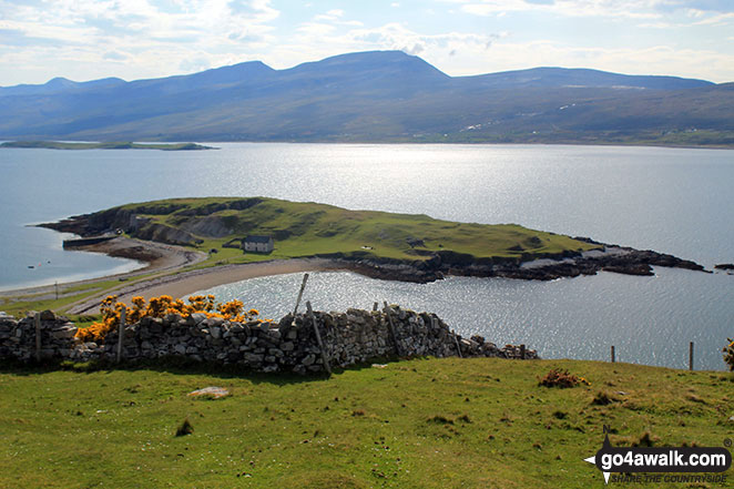
Ard Neackie & Loch Eriboll with Cranstackie & Beinn Spionnaidh beyond from the A838 (North Coast NC500 route) near Heilam
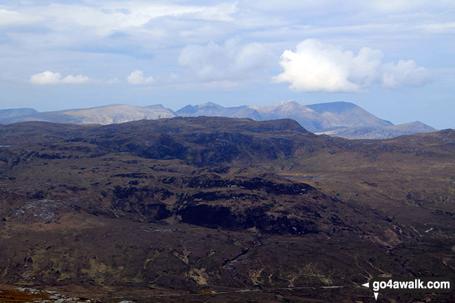
Foinaven (Ganu Mor), Cranstackie, Beinn Spionnaidh and Meall nan Cra from Carn a' Ghallaich, Ben Hope
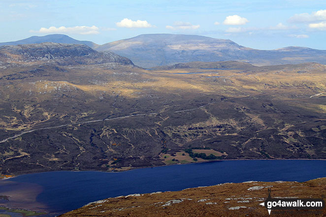
Cranstackie, Beinn Spionnaidh and Meall nan Cra across Loch Hope from Carn a' Ghallaich, Ben Hope
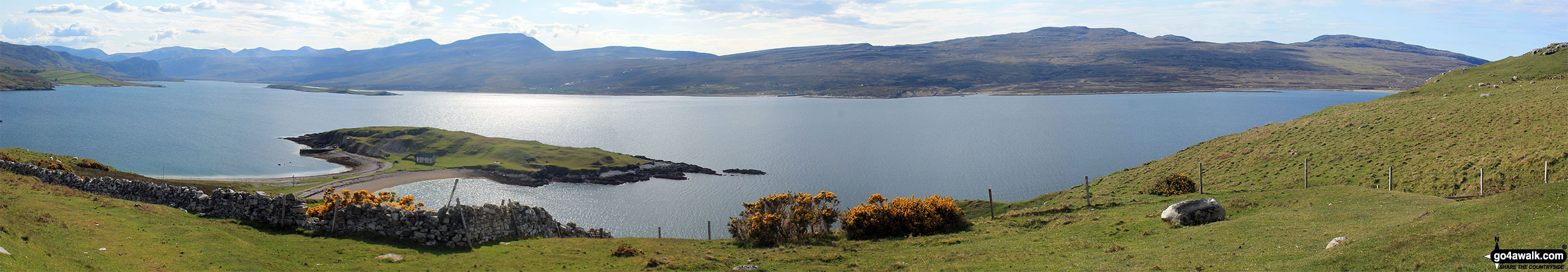
Ard Neackie & Loch Eriboll with Cranstackie, Beinn Spionnaidh Meall nan Cra, Meall Meadhonach, and Beinn Ceannabeinne beyond from the A838 (North Coast NC500 route) near Heilam
Send us your photographs and pictures on, of, or from Beinn Spionnaidh
If you would like to add your walk photographs and pictures featuring views from, on or of Beinn Spionnaidh to this page, please send them as email attachments (configured for any computer) along with your name to:
and we shall do our best to publish them.
(Guide Resolution = 300dpi. At least = 660pixels (wide) x 440 pixels (high).)

You can also submit photos via our Facebook Page.
NB. Please indicate where each photo was taken and whether you wish us to credit your photos with a Username or your First Name/Last Name.
Not familiar with this top?


