
![]()
Beinn Bhuidhe (Glen Fyne)
948m (3111ft)
The Arrochar Alps, Loch Lomond and The Trossachs to Loch Tay, Argyll and Bute, Scotland
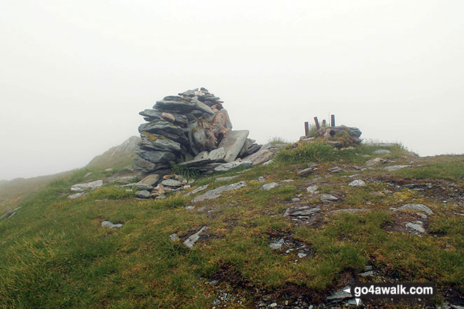
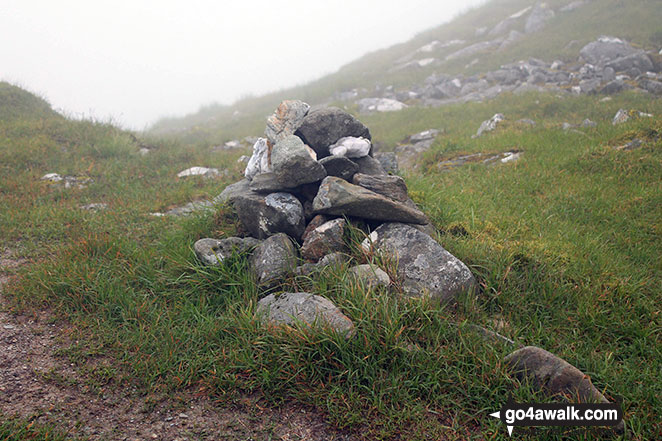
The summit of Beinn Bhuidhe (Glen Fyne) is marked by a the base of an Ordnance Survey Trig Point though this is not shown on the local OS Map.
Not familiar with this top?
See Beinn Bhuidhe (Glen Fyne) and the surrounding tops on our free-to-access 'Google Style' Peak Bagging Maps:
The Arrochar Alps area of Scottish Region 1: The Firth of Clyde to Strath Tay
Less data - quicker to download
Scottish Region 1: Loch Lomond and The Trossachs to Loch Tay
Less data - quicker to download
A go4awalk.com downloadable Peak Bagging Map in PDF format featuring Beinn Bhuidhe (Glen Fyne) should be available soon.
You can find Beinn Bhuidhe (Glen Fyne) & all the walks that climb it on these unique free-to-access Interactive Walk Planning Maps:
1:25,000 scale OS Explorer Map (orange/yellow covers):
1:50,000 scale OS Landranger Maps (pink/magenta covers):
 Fellow go4awalkers who have already walked, climbed, summited & bagged Beinn Bhuidhe (Glen Fyne)
Julie Buckley walked up Beinn Bhuidhe (Glen Fyne) on September 9th, 2014 [from/via/route] Loch fyne estate [with] Companions last munroe [weather] Cloudy,drizzle
David Buckley climbed Beinn Bhuidhe (Glen Fyne) during July, 2015 [with] Julie
Mark Davidson bagged Beinn Bhuidhe (Glen Fyne) on July 4th, 2017 [with] Alone [weather] Despite a decent forecast it was dull & grey with mist shrouding the summit . . . .grrrrr! - Manged to burn the clutch out in the van on the way home. Double grrrrr!
Mr M A Blanchard, Paul Booth, Ron Blundell, Simon Duerden, Ceri Murray and Trevor Williams have all walked, climbed & bagged Beinn Bhuidhe (Glen Fyne).
To add (or remove) your name and experiences on this page - Log On and edit your Personal Mountain Bagging Record
More Photographs & Pictures of views from, on or of Beinn Bhuidhe (Glen Fyne)
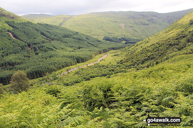
Looking down to Glen Fyne from the lower slopes of Beinn Bhuidhe (Glen Fyne)
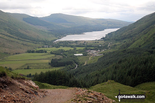
Loch Fyne and Inveerfyne from the slopes of Beinn Bhuidhe (Glen Fyne)
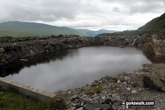
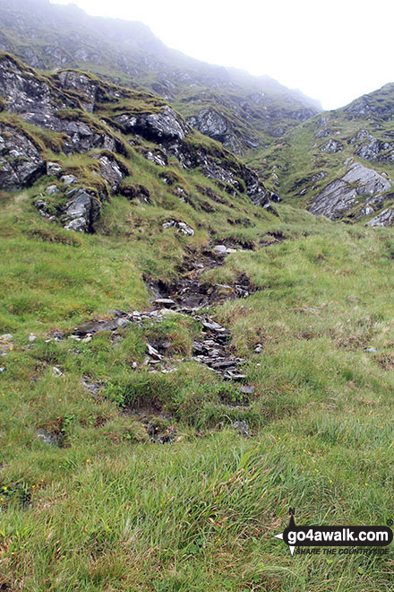
Small reservoir beside the track on the eastern flank of Beinn Bhuidhe (Glen Fyne)
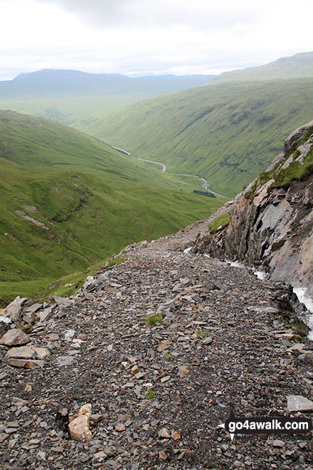
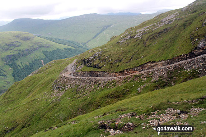
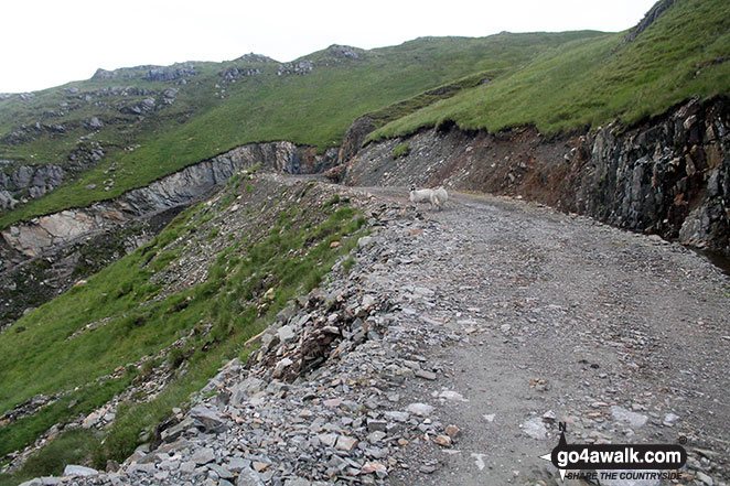
Track on the eastern flank of Beinn Bhuidhe (Glen Fyne) heading down into Glen Fyne
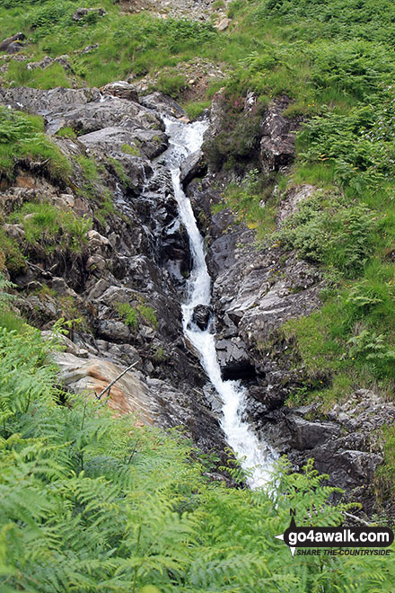
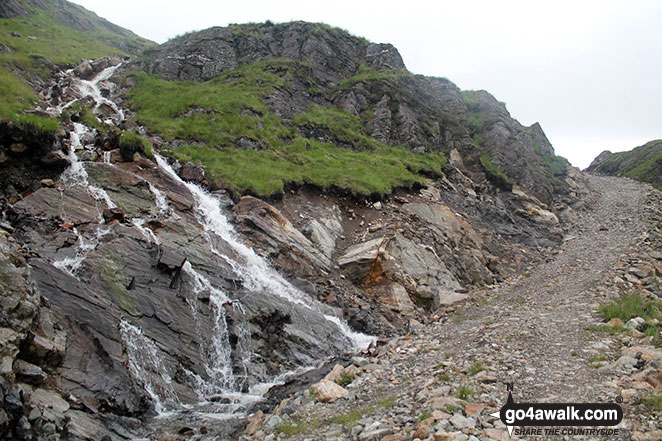
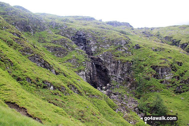
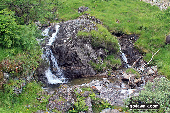
Waterfalls beside the track on the eastern flank of Beinn Bhuidhe (Glen Fyne)
Send us your photographs and pictures on, of, or from Beinn Bhuidhe (Glen Fyne)
If you would like to add your walk photographs and pictures featuring views from, on or of Beinn Bhuidhe (Glen Fyne) to this page, please send them as email attachments (configured for any computer) along with your name to:
and we shall do our best to publish them.
(Guide Resolution = 300dpi. At least = 660pixels (wide) x 440 pixels (high).)

You can also submit photos via our Facebook Page.
NB. Please indicate where each photo was taken and whether you wish us to credit your photos with a Username or your First Name/Last Name.
Not familiar with this top?


