
![]()
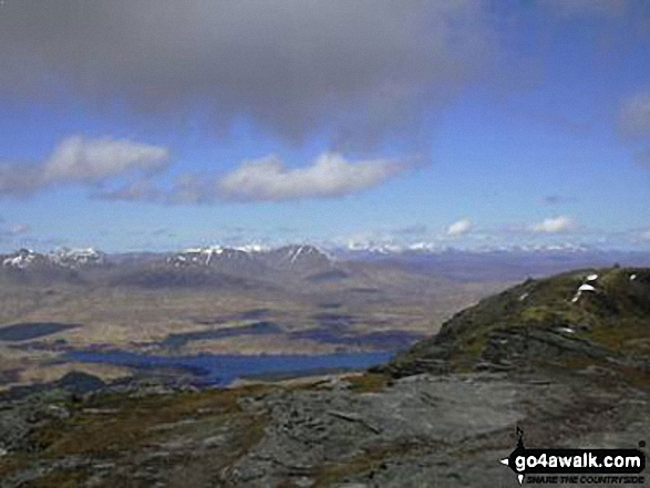
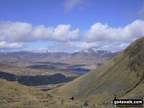
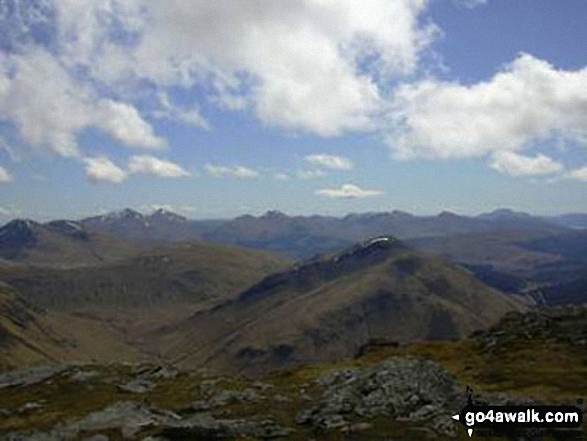
Beinn Dorain (Beinn na Caillich)
1076m (3531ft)
The Bridge of Orchy Hills, The River Tay to Rannoch Moor, Argyll and Bute, Scotland
Not familiar with this top?
See Beinn Dorain (Beinn na Caillich) and the surrounding tops on our free-to-access 'Google Style' Peak Bagging Maps:
The Bridge of Orchy Hills area of Scottish Region 2: The River Tay to Rannoch Moor
Less data - quicker to download
Scottish Region 2: The River Tay to Rannoch Moor
Less data - quicker to download
A go4awalk.com downloadable Peak Bagging Map in PDF format featuring Beinn Dorain (Beinn na Caillich) should be available soon.
You can find Beinn Dorain (Beinn na Caillich) & all the walks that climb it on these unique free-to-access Interactive Walk Planning Maps:
1:25,000 scale OS Explorer Map (orange/yellow covers):
An Interactive Walk Planning Map for OS Explorer OL48 Ben Lawers & Glen Lyon is not currently available
1:50,000 scale OS Landranger Map (pink/magenta covers):
 Fellow go4awalkers who have already walked, climbed, summited & bagged Beinn Dorain (Beinn na Caillich)
Louise Sandwith, Mr M A Blanchard, Ron Blundell, Simon Duerden, Paul Booth, Trevor Williams, Geert Gritter and Adam Shewry have all walked, climbed & bagged Beinn Dorain (Beinn na Caillich).
To add (or remove) your name and experiences on this page - Log On and edit your Personal Mountain Bagging Record
More Photographs & Pictures of views from, on or of Beinn Dorain (Beinn na Caillich)
Send us your photographs and pictures on, of, or from Beinn Dorain (Beinn na Caillich)
If you would like to add your walk photographs and pictures featuring views from, on or of Beinn Dorain (Beinn na Caillich) to this page, please send them as email attachments (configured for any computer) along with your name to:
and we shall do our best to publish them.
(Guide Resolution = 300dpi. At least = 660pixels (wide) x 440 pixels (high).)

You can also submit photos via our Facebook Page.
NB. Please indicate where each photo was taken and whether you wish us to credit your photos with a Username or your First Name/Last Name.
Not familiar with this top?


