
![]()
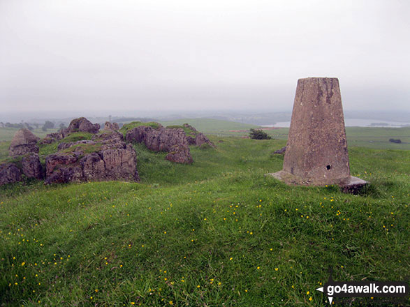
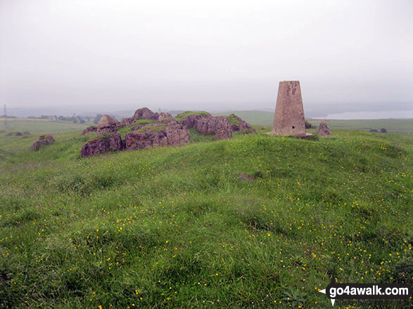
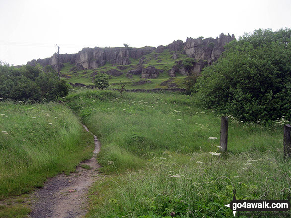
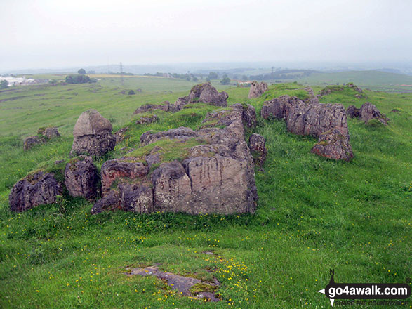
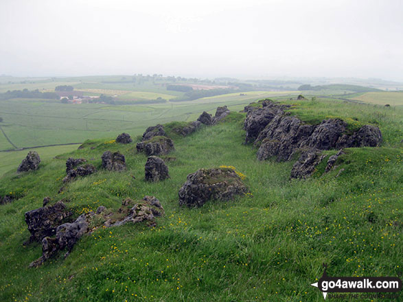
Harboro' Rocks
379m (1243ft)
Derbyshire, England
The summit of Harboro' Rocks is marked by an Ordnance Survey Trig Point.
Not familiar with this top?
   |
|---|
Vital Statistics:
| Length: | 7.25mls (11.5km) |
|---|---|
| Ascent: | 1,080ft (329m) |
| Time: | 3.75hrs |
| Grade: |  (Moderate) (Moderate) |
Route Summary:
Brassington - The Limestone Way - Rainster Rocks - Longcliffe - Aldwark - Grangemill - The Limestone Way - Grange Mill Quarry - Harboro' Farm - Harboro' Rocks - Bee Nest Mine - Brassington
You can find Harboro' Rocks & all the walks that climb it on these unique free-to-access Interactive Walk Planning Maps:
1:25,000 scale OS Explorer Map (orange/yellow covers):
1:50,000 scale OS Landranger Map (pink/magenta covers):
 Fellow go4awalkers who have already walked, climbed, summited & bagged Harboro' Rocks
Andrew Joss walked up Harboro' Rocks on January 19th, 2014 [from/via/route] Brassington [with] Barbara, Pip, Mick and Benson [weather] Sunny but chilly - Lovely views
Mark Davidson has walked, climbed & bagged Harboro' Rocks.
To add (or remove) your name and experiences on this page - Log On and edit your Personal Mountain Bagging Record
More Photographs & Pictures of views from, on or of Harboro' Rocks
Send us your photographs and pictures on, of, or from Harboro' Rocks
If you would like to add your walk photographs and pictures featuring views from, on or of Harboro' Rocks to this page, please send them as email attachments (configured for any computer) along with your name to:
and we shall do our best to publish them.
(Guide Resolution = 300dpi. At least = 660pixels (wide) x 440 pixels (high).)

You can also submit photos via our Facebook Page.
NB. Please indicate where each photo was taken and whether you wish us to credit your photos with a Username or your First Name/Last Name.
Not familiar with this top?


