
![]()
Crook Hill (Ladybower)
382m (1254ft)
The Dark Peak Area, The Peak District, Derbyshire, England
Tap/mouse over a coloured circle (1-3 easy walks, 4-6 moderate walks, 7-9 hard walks) and click to select.
You can find Crook Hill (Ladybower) & all the walks that climb it on these unique free-to-access Interactive Walk Planning Maps: (click/TAP to select)
1:25,000 scale OS Explorer Map (the ones with orange/yellow covers):
1:50,000 scale OS Landranger Map (the ones with pink/magenta covers):
See Crook Hill (Ladybower) and the surrounding tops on our free-to-access 'Google Style' Peak Bagging Maps:
See Crook Hill (Ladybower) and the surrounding tops on our downloadable PDF Peak Bagging Map:
   |
|---|
Vital Statistics:
| Length: | 4.75mls (7.5km) |
|---|---|
| Ascent: | 1,195ft (364m) |
| Time: | 3 hrs |
| Grade: |  (Moderate) (Moderate) |
Route Summary:
Ladybower Reservoir - Bridge End Car Park - Ridges Coppice - Hagg Side - Open Hagg - Longley Bank - Bridge-end Pasture - Crook Hill (Ladybower) - Crook Hill (Ladybower) (South Top) - Crookhill Farm - Ladybower Reservoir - Hurst Clough Car Park - Bridge End Car Park.
 Fellow go4awalkers who have already walked, climbed, summited & bagged Crook Hill (Ladybower)
Lucy Perchard walked up Crook Hill (Ladybower) on July 22nd, 2018 [from/via/route] From Fairholmes through the Hagg Side woods to the open Hagg Path & Bridge-End Pasture & Crook Hill before dropping back down to Ladybower reservoir [with] Tony [weather] Lovely warm evening - Short walk with lovely views of the Great Ridgeway & Win Hill
Michael Lee climbed Crook Hill (Ladybower) on November 7th, 2007 [from/via/route] From Ladybower Inn [with] Jill and friends [weather] Sunny - Done this one twice..
Louis Smith bagged Crook Hill (Ladybower) during June, 2017 [from/via/route] unsure of date
Nicola Parkinson hiked Crook Hill (Ladybower) on February 7th, 2016 [from/via/route] d136 from Ladybower [with] Stu [weather] Cold!
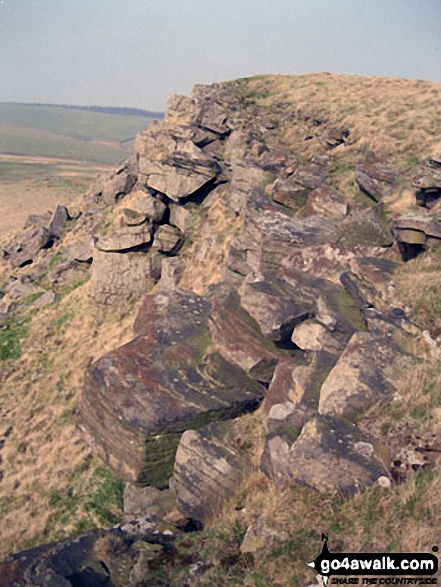
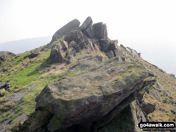
John Gehrke summited Crook Hill (Ladybower) on August 24th, 2013 [from/via/route] used walk d136 [with] solo [weather] cloudy & a little windy but quite warm - nice rocks here & on the south top rising suddenly from the ground
Andrew Joss conquered Crook Hill (Ladybower) on March 30th, 2013 [from/via/route] Ladybower Car Park [with] Barbara [weather] Sunny but a very cold wind followed by snow - Fantastic view!
Steve Lockett and Mark Davidson have both walked, climbed & bagged Crook Hill (Ladybower).To add (or remove) your name and experiences on this page - Log On and edit your Personal Mountain Bagging Record
More Photographs & Pictures of views from, on or of Crook Hill (Ladybower)
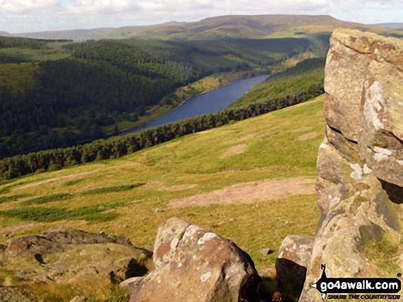
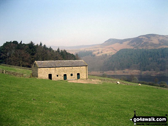
Ladybower Reservoir and the lower slopes of Win Hill from Crook Hill (Ladybower)
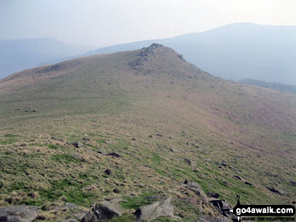
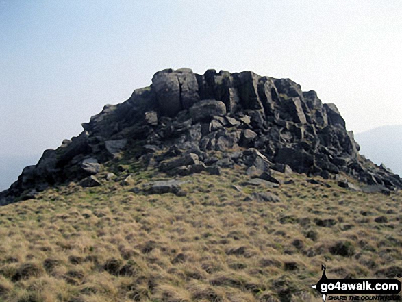
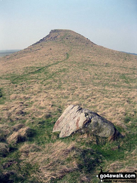
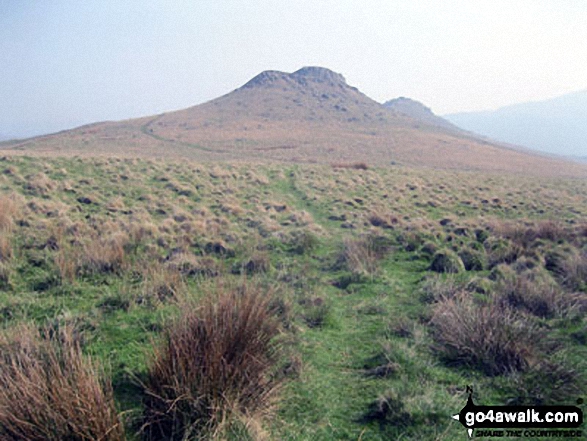
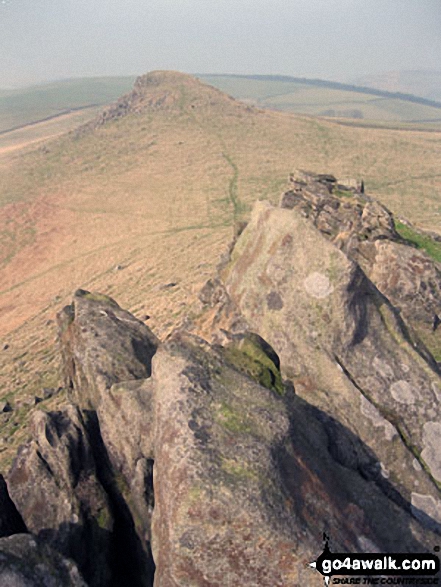
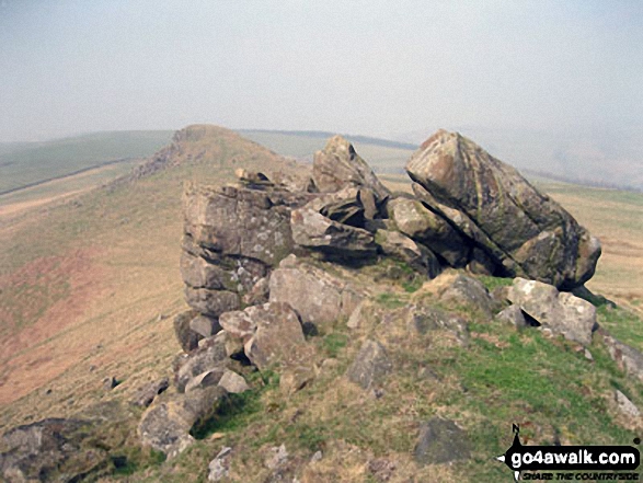
Crook Hill (Ladybower) and Crook Hill (Ladybower) (South Top) from Bridge-end Pasture
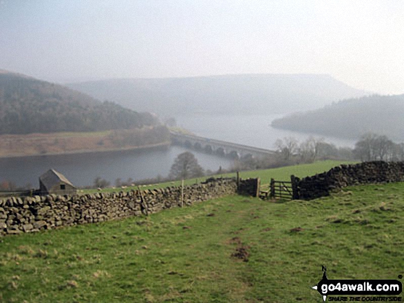
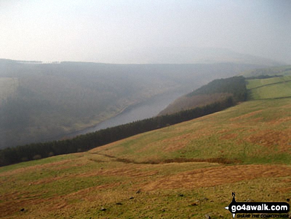
The road bridge (A57) across Ladybower Reservoir with Bamford Moor in the background from Crook Hill (Ladybower)
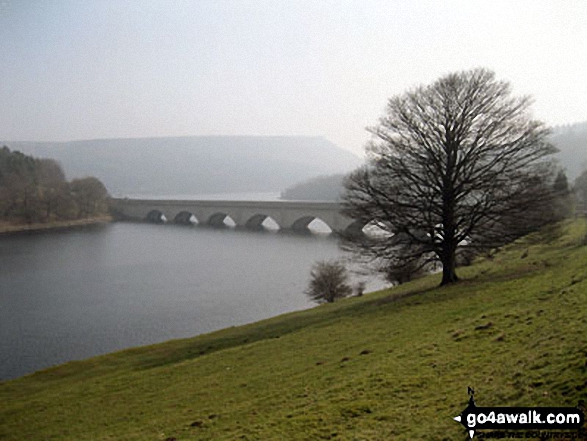
The road bridge (A57) across Ladybower Reservoir with Bamford Moor in the background from near Crookhill Farm on the lower slopes of Crook Hill (Ladybower)
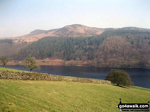
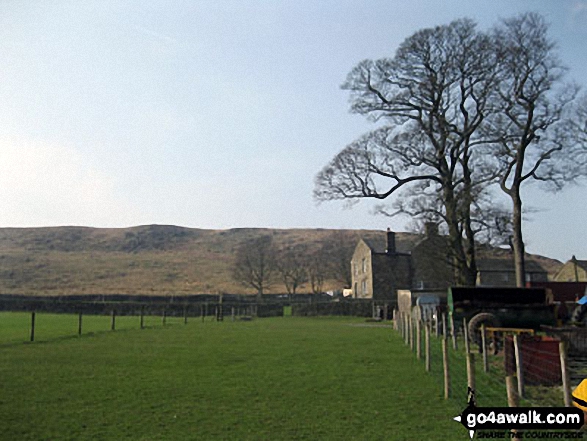
Hurkling Stones (left) and Whinstone Lee Tor (right) above Ladybower Reservoir from near Crookhill Farm on the lower slopes of Crook Hill (Ladybower)
Send us your photographs and pictures on, of, or from Crook Hill (Ladybower)
If you would like to add your walk photographs and pictures featuring views from, on or of Crook Hill (Ladybower) to this page, please send them as email attachments (configured for any computer) along with your name to:
and we shall do our best to publish them.
(Guide Resolution = 300dpi. At least = 660pixels (wide) x 440 pixels (high).)

You can also submit photos via our Facebook Page.
NB. Please indicate where each photo was taken.


