
![]()
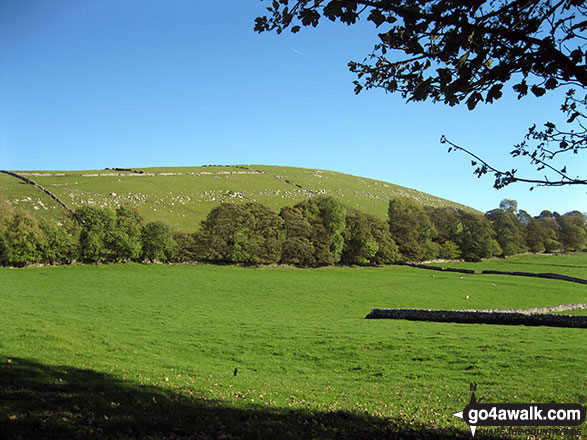
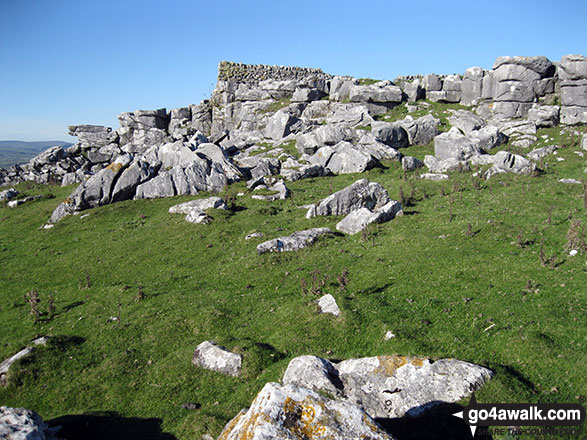
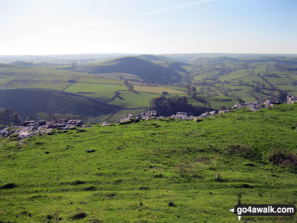
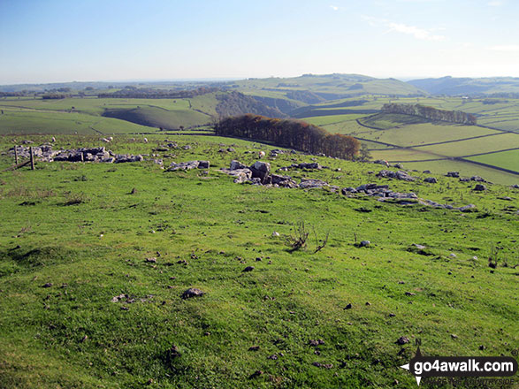
Wolfscote Hill
388m (1273ft)
The White Peak Area, The Peak District, Derbyshire, England
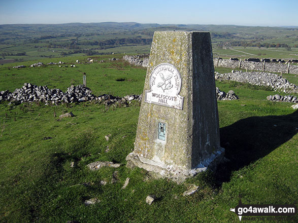
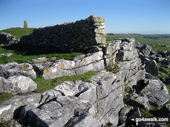
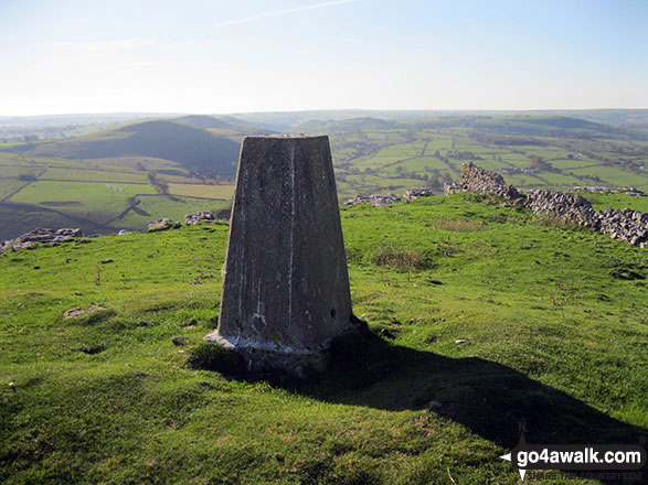
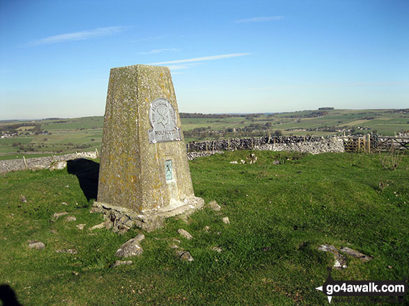
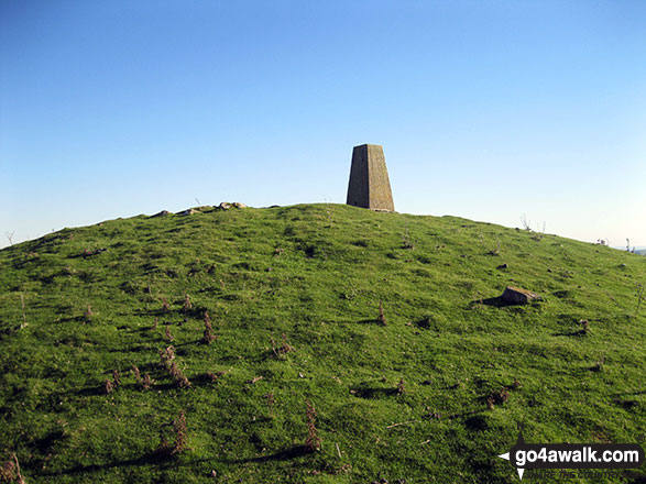
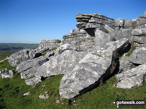
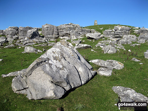
The summit of Wolfscote Hill is marked by an Ordnance Survey Trig Point.
Not familiar with this top?
   |
|---|
Vital Statistics:
| Length: | 9.75mls (15.5km) |
|---|---|
| Ascent: | 1,910ft (582m) |
| Time: | 5½ hrs |
| Grade: |  (Moderate) (Moderate) |
Route Summary:
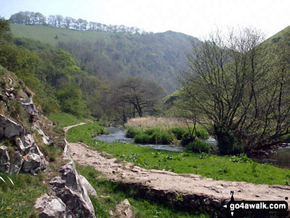
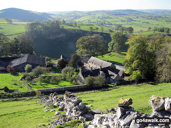
Alstonefield - Milldale - Mill Dale - Lode Mill Bridge - River Dove - Coldeaton Bridge - Iron Tors - Gipsy Bank - Drabber Tor - Caves - Peasland Tor - Wolfscote Dale - Frank-i-th-Rocks Bridge - Wolfscote Grange - Wolfscote Hill - Beresford Dale - Narrowdale Hill - Narrow Dale - Gratton Hill - The Rakes - Alstonefield
See Wolfscote Hill and the surrounding tops on our free-to-access 'Google Style' Peak Bagging Maps:
The White Peak Area of The Peak District National Park
Less data - quicker to download
See Wolfscote Hill and the surrounding tops on our downloadable Peak Bagging Map in PDF format:

NB: Whether you print off a copy or download it to your phone, this PDF Peak Baggers' Map might prove incredibly useful when your are up there on the tops and you cannot get a phone signal.
You can find Wolfscote Hill & all the walks that climb it on these unique free-to-access Interactive Walk Planning Maps:
1:25,000 scale OS Explorer Map (orange/yellow covers):
1:50,000 scale OS Landranger Map (pink/magenta covers):
 Fellow go4awalkers who have already walked, climbed, summited & bagged Wolfscote Hill
Mark Davidson walked up Wolfscote Hill on October 26th, 2010 [from/via/route] Combination of walks: s232 Dale Bottom, Wetton Hill & Ecton Hill from Alstonefield & walk s156 Wolfscote Dale, Ecton Hill, Wetton Hill, Wetton & Alstonefield from Milldale [with] Alone [weather] Lovely sunshine & nice & warm
Andrew Joss climbed Wolfscote Hill on February 24th, 2013 [from/via/route] Alsop Station car park [with] Barbara, Pippa, Mick & Benson [weather] Cold, dull & a little snowy - Lovely walk & great views from the top of Wolfscote Hill
To add (or remove) your name and experiences on this page - Log On and edit your Personal Mountain Bagging Record
More Photographs & Pictures of views from, on or of Wolfscote Hill
Send us your photographs and pictures on, of, or from Wolfscote Hill
If you would like to add your walk photographs and pictures featuring views from, on or of Wolfscote Hill to this page, please send them as email attachments (configured for any computer) along with your name to:
and we shall do our best to publish them.
(Guide Resolution = 300dpi. At least = 660pixels (wide) x 440 pixels (high).)

You can also submit photos via our Facebook Page.
NB. Please indicate where each photo was taken and whether you wish us to credit your photos with a Username or your First Name/Last Name.
Not familiar with this top?


