
![]()
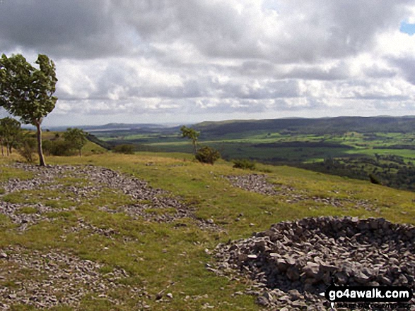
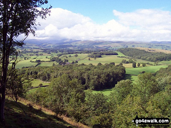
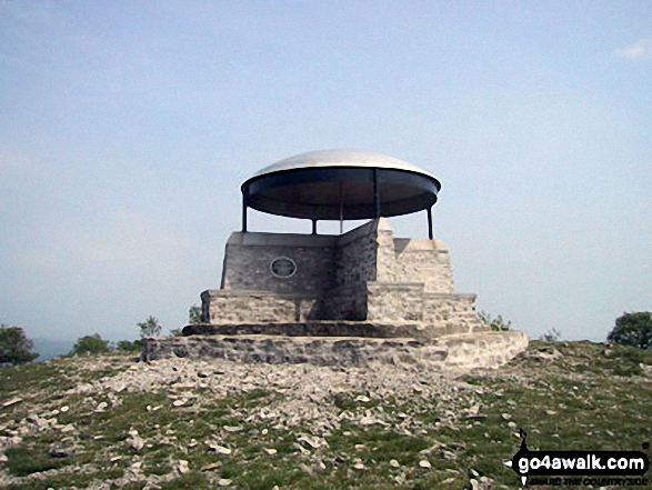
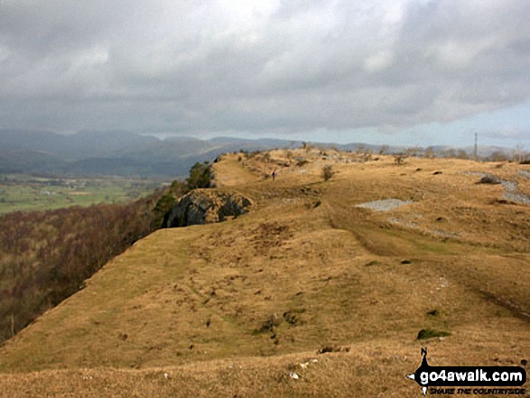
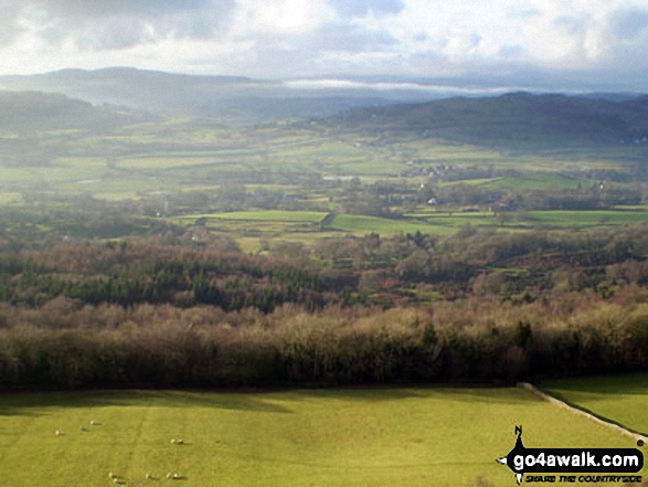
Scout Scar (Barrowfield)
233m (765ft)
The South Eastern Marches, The Lake District, Cumbria, England
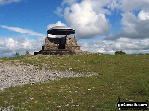
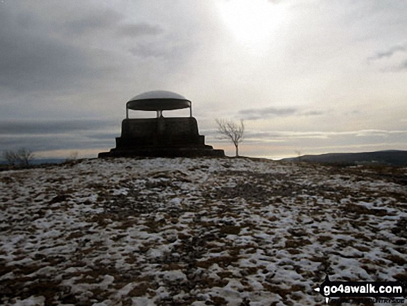
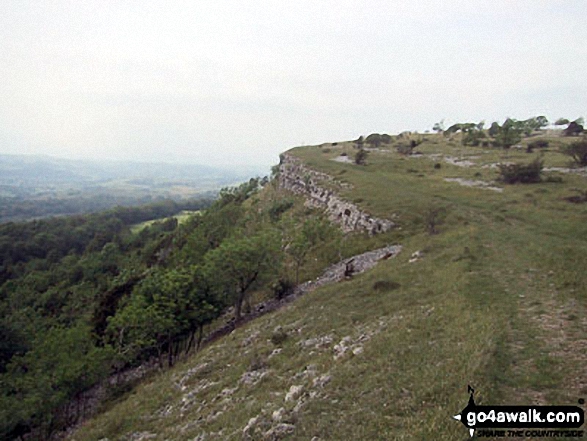
The summit of Scout Scar (Barrowfield) is marked by an Ordnance Survey Trig Point.
Not familiar with this top?
   |
|---|
Vital Statistics:
| Length: | 5.75ml (9km) |
|---|---|
| Ascent: | 932ft (284m) |
| Time: | 3 hrs |
| Grade: |  (Moderate) (Moderate) |
Route Summary:
Underbarrow - Hagg Cottage - Gambleshire Lane - Gambleshire Lane - Cunswick Fell - Scout Scar (Barrowfield) - Hodgeson's Leap - Bradleyfield - Helsington Barrows - Barrowfield Farm - Barrowfield Lot - Copeland Wood - Hollinwood - Cooper Tenement - Rockyfield - Underbarrow
|
|---|
Vital Statistics:
| Length: | 7.25ml (11.5km) |
|---|---|
| Ascent: | 1,053ft (321m) |
| Time: | 3.75hrs |
| Grade: | (Moderate) |
Route Summary:
Kendal - Kendal Fell - Kettlewell Crag - Cunswick Fell - Cunswick Scar - Scout Scar (Barrowfield) - Helsington Barrows - Bradleyfield - Brigsteer Road - Larch How - Kendal
|
|---|
Vital Statistics:
| Length: | 10mls (16km) |
|---|---|
| Ascent: | 1,496ft (456m) |
| Time: | 5.25hrs |
| Grade: |  (Moderate) (Moderate) |
Route Summary:
Underbarrow - Hagg Cottage - Gambleshire Lane - Gambleshire Lane - Cunswick Fell - Cunswick Scar - Scout Scar (Barrowfield) - Hodgeson's Leap - Bradleyfield - Helsington Barrows - Windy Howe - Helsington Church - Honeybee Wood - Barrowfield Farm - Barrowfield Lot - Copeland Wood - Hollinwood - Cooper Tenement - Rockyfield - Underbarrow
See Scout Scar (Barrowfield) and the surrounding tops on our free-to-access 'Google Style' Peak Bagging Maps:
The South Eastern Marches area of The Lake District National Park
Less data - quicker to download
The Whole of The Lake District National Park
More data - might take a little longer to download
A go4awalk.com downloadable Peak Bagging Map in PDF format featuring Scout Scar (Barrowfield) should be available soon.
You can find Scout Scar (Barrowfield) & all the walks that climb it on these unique free-to-access Interactive Walk Planning Maps:
1:25,000 scale OS Explorer Map (orange/yellow covers):
1:50,000 scale OS Landranger Map (pink/magenta covers):
 Fellow go4awalkers who have already walked, climbed, summited & bagged Scout Scar (Barrowfield)
Adrian Howard walked up Scout Scar (Barrowfield) on February 24th, 2012 [from/via/route] Underbarrow Rd car park - across road & up - 'The Mushroom' - Scout Scar (Barrowfield). Revisit 25.06.2025 [with] Just me
Rob Bennion climbed Scout Scar (Barrowfield) on June 4th, 2022 [from/via/route] From Kendal - Included Cunswick Scar [with] Ron Southworth [weather] Scorching Hot
Trevor Williams bagged Scout Scar (Barrowfield) on March 10th, 2022 [from/via/route] Underbarrow [with] Paul, Barry & Trevor [weather] high cloud
Andrew Flynn hiked Scout Scar (Barrowfield) on August 16th, 2009 [from/via/route] Underbarrow [with] Nicola [weather] Sunny
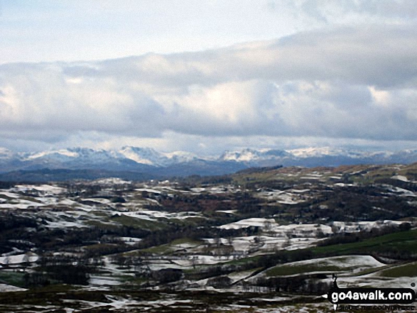
Syd Barnes summited Scout Scar (Barrowfield) on February 21st, 2014 [from/via/route] Car park [with] Wendy [weather] Cold & windy but sunny
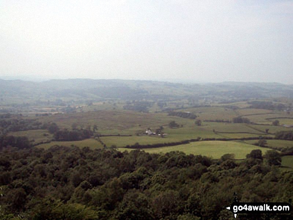
Mark Davidson conquered Scout Scar (Barrowfield) on June 8th, 2004 [with] Teasy [weather] Hot, humid & a bit hazy
Dave Gay scaled Scout Scar (Barrowfield) on June 16th, 2013 [from/via/route] From Scout Scar Car Park [with] Nathaniel, Jessica
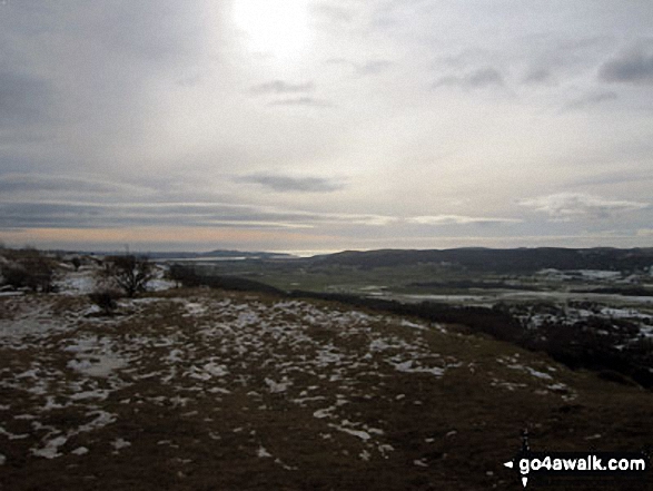
Christine Shepherd walked up Scout Scar (Barrowfield) on February 13th, 2012 [from/via/route] Walked from Kendal using the Wainwright's 'Outlying Fells' [with] On my own [weather] Cold & icy but great views - Amazing views from the summit.
David Hallam, Paul Booth, Louise Sandwith, David Preston, Jeanette Coward and Clive Ward have all walked, climbed & bagged Scout Scar (Barrowfield).
To add (or remove) your name and experiences on this page - Log On and edit your Personal Mountain Bagging Record
More Photographs & Pictures of views from, on or of Scout Scar (Barrowfield)

Send us your photographs and pictures on, of, or from Scout Scar (Barrowfield)
If you would like to add your walk photographs and pictures featuring views from, on or of Scout Scar (Barrowfield) to this page, please send them as email attachments (configured for any computer) along with your name to:
and we shall do our best to publish them.
(Guide Resolution = 300dpi. At least = 660pixels (wide) x 440 pixels (high).)

You can also submit photos via our Facebook Page.
NB. Please indicate where each photo was taken and whether you wish us to credit your photos with a Username or your First Name/Last Name.
Not familiar with this top?


