![]()
Mynydd Machen (Machen Hill)
362m (1188ft)
The South Wales area, Caerphilly, Wales
The summit of Mynydd Machen (Machen Hill) is marked by an Ordnance Survey Trig Point.
Not familiar with this top?
A go4awalk.com downloadable Peak Bagging Map in PDF format featuring Mynydd Machen (Machen Hill) should be available soon.
Free-to-access Interactive Walk Planning Maps:
1:25,000 scale OS Explorer Map (orange/yellow covers):
An Interactive Walk Planning Map for OS Explorer 152 Newport & Pontypool / Casnewydd a Phont-y-pwl is not currently available
1:50,000 scale OS Landranger Map (pink/magenta covers):
An Interactive Walk Planning Map for OS Landranger 171 Cardiff & Newport, Pontypool is not currently available
 Fellow go4awalkers who have already walked, climbed, summited & bagged Mynydd Machen (Machen Hill)
Nikola Jenkins walked up it on February 22nd, 2025 [from/via/route] Storey Arms [with] April Bryant [weather] Very misty, poor visibility
Richard Penney has walked, climbed & bagged Mynydd Machen (Machen Hill).
To add (or remove) your name and experiences on this page - Log On and edit your Personal Mountain Bagging Record
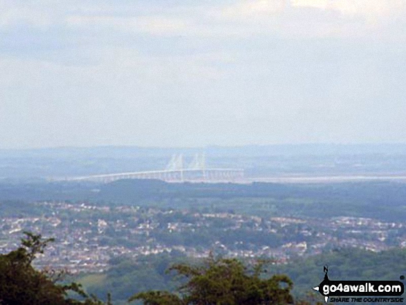
Send us your photographs and pictures on, of, or from Mynydd Machen (Machen Hill)
If you would like to add your walk photographs and pictures to this page, please send them as email attachments (configured for any computer) along with your name to:
and we shall do our best to publish them.
(Guide Resolution = 300dpi. At least = 660pixels (wide) x 440 pixels (high).)

You can also submit photos via our Facebook Page.
NB. Please indicate where each photo was taken and whether you wish us to credit your photos with a Username or your First Name/Last Name.
Not familiar with this top?