
![]()
Yearlet
466m (1529ft)
The Shropshire Hills Area of Outstanding Natural Beauty, Shropshire, England
Tap/mouse over a coloured circle (1-3 easy walks, 4-6 moderate walks, 7-9 hard walks) and click to select.
The summit of Yearlet is marked by a small cairn.

Not familiar with this top?
See Yearlet and the surrounding tops on our free-to-access 'Google Style' Peak Bagging Map:
The Shropshire Hills
Less data - quicker to download
See Yearlet and the surrounding tops on our downloadable Peak Bagging Map in PDF format:

NB: Whether you print off a copy or download it to your phone, this PDF Peak Baggers' Map might prove incredibly useful when your are up there on the tops and you cannot get a phone signal.
You can find Yearlet & all the walks that climb it on these unique free-to-access Interactive Walk Planning Maps:
1:25,000 scale OS Explorer Map (orange/yellow covers):
1:50,000 scale OS Landranger Map (pink/magenta covers):
 Fellow go4awalkers who have already walked, climbed, summited & bagged Yearlet
Patrick Rogozinski has walked, climbed & bagged Yearlet.
To add (or remove) your name and experiences on this page - Log On and edit your Personal Mountain Bagging Record
More Photographs & Pictures of views from, on or of Yearlet
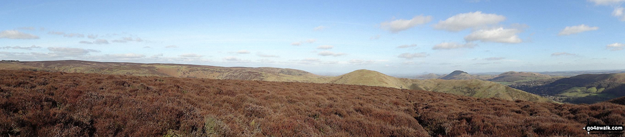
The Long Mynd (Pole Bank), Yearlet and Ashlet (mid-distance) with The Lawley (left), Caer Caradoc Hill, Church Stretton, Ragleth Hill (right) beyond from near Grindle above Ashes Hollow
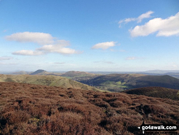
The Lawley (left), Caer Caradoc Hill, Church Stretton, Ragleth Hill (right) with Yearlet and Ashlet in the mid-distance from near Grindle above Ashes Hollow
Send us your photographs and pictures on, of, or from Yearlet
If you would like to add your walk photographs and pictures featuring views from, on or of Yearlet to this page, please send them as email attachments (configured for any computer) along with your name to:
and we shall do our best to publish them.
(Guide Resolution = 300dpi. At least = 660pixels (wide) x 440 pixels (high).)

You can also submit photos via our Facebook Page.
NB. Please indicate where each photo was taken and whether you wish us to credit your photos with a Username or your First Name/Last Name.
Not familiar with this top?


