
![]()
Cam Long Down
220m (722ft)
The Cotswolds, Gloucestershire, England
Tap/mouse over a coloured circle (1-3 easy walks, 4-6 moderate walks, 7-9 hard walks) and click to select.

Not familiar with this top?
   |
|---|
Vital Statistics:
| Length: | 4.75mls (7.5km) |
|---|---|
| Ascent: | 1,405ft (428m) |
| Time: | 3.25hrs |
| Grade: |  (Moderate) (Moderate) |
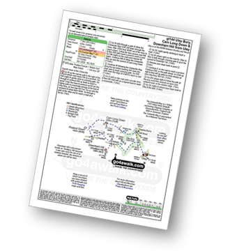
Route Summary:
Uley - Uley Bury Hill Fort - Cliff Wood - Crawley Barns - The Cotswolds Way - Hodgecombe Farm - Cam Long Down - Peaked Down - Uleyfield - Downham Hill (Smallpox Hill) - Hydegate - Uley Bury Hill Fort - Uley
A go4awalk.com downloadable Peak Bagging Map in PDF format featuring Cam Long Down should be available soon.
Free-to-access Interactive Walk Planning Maps:
1:25,000 scale OS Explorer Map (orange/yellow covers):
An Interactive Walk Planning Map for OS Explorer 167 Thornbury, Dursley & Yate is not currently available
1:50,000 scale OS Landranger Map (pink/magenta covers):
An Interactive Walk Planning Map for OS Landranger 162 Gloucester & Forest of Dean is not currently available
 Fellow go4awalkers who have already walked, climbed, summited & bagged Cam Long Down
To add (or remove) your name and experiences on this page - Log On and edit your Personal Mountain Bagging Record
Send us your photographs and pictures on, of, or from Cam Long Down
If you would like to add your walk photographs and pictures featuring views from, on or of Cam Long Down to this page, please send them as email attachments (configured for any computer) along with your name to:
and we shall do our best to publish them.
(Guide Resolution = 300dpi. At least = 660pixels (wide) x 440 pixels (high).)

You can also submit photos via our Facebook Page.
NB. Please indicate where each photo was taken and whether you wish us to credit your photos with a Username or your First Name/Last Name.
Not familiar with this top?


