
![]()
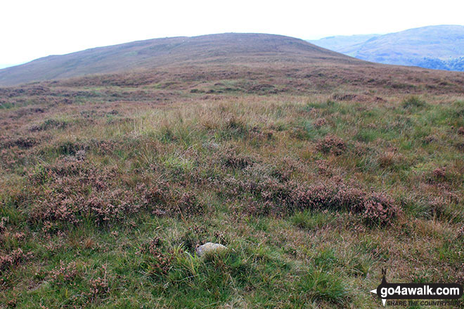
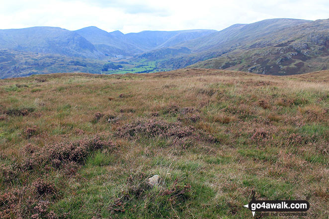
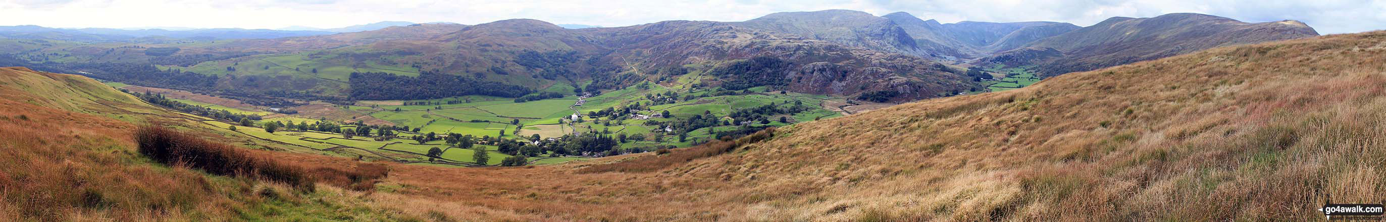
Hollow Moor (North East Top)
409m (1342ft)
1=The Far Eastern Fells, The Lake District, Cumbria, England
Not familiar with this top?
   |
|---|
Vital Statistics:
| Length: | 5.75mls (9km) |
|---|---|
| Ascent: | 1,260ft (384m) |
| Time: | 3½ hrs |
| Grade: |  (Moderate) (Moderate) |
Route Summary:
Kentmere - Cornclose Lane (track) - Rasp Howe - Skeggles Water - Cocklaw Fell - Green Quarter Fell - Hollow Moor (Green Quarter) - Hollow Moor (North East Top) - Kentmere
See Hollow Moor (North East Top) and the surrounding tops on our free-to-access 'Google Style' Peak Bagging Maps:
See Hollow Moor (North East Top) and the surrounding tops on our downloadable Peak Bagging Maps in PDF format:

NB: Whether you print off a copy or download it to your phone, these PDF Peak Baggers' Maps might prove incredibly useful when your are up there on the tops and you cannot get a phone signal.
*This version is marked with the walk routes you need to follow to Walk all 214 Wainwrights in just 59 walks.
You can find Hollow Moor (North East Top) & all the walks that climb it on these unique free-to-access Interactive Walk Planning Maps:
1:25,000 scale OS Explorer Map (orange/yellow covers):
1:50,000 scale OS Landranger Map (pink/magenta covers):
 Fellow go4awalkers who have already walked, climbed, summited & bagged Hollow Moor (North East Top)
Dave Gay walked up on April 21st, 2017 [from/via/route] From St Anthony's Church. [with] Solo
Mark Davidson climbed it on September 20th, 2016 [with] Alone
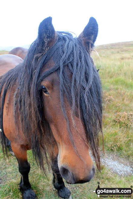
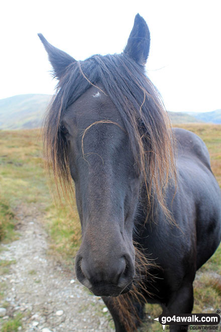
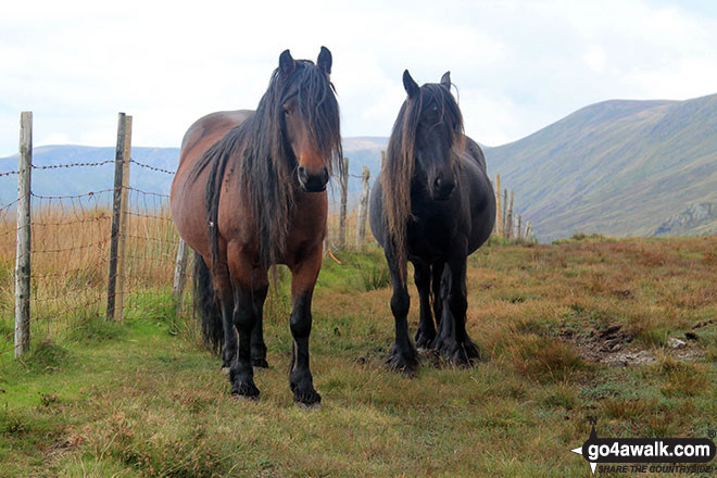
Christine Shepherd bagged it on March 18th, 2012 [from/via/route] Kentmere [with] On my own [weather] Sunny with blue skies. - Saw several wild ponies grazing on the hillside; lovely.
Peter Thwaites, Louise Sandwith, David Preston and Jeanette Coward have all walked, climbed & bagged Hollow Moor (North East Top).
To add (or remove) your name and experiences on this page - Log On and edit your Personal Mountain Bagging Record
Send us your photographs and pictures on, of, or from Hollow Moor (North East Top)
If you would like to add your walk photographs and pictures featuring views from, on or of Hollow Moor (North East Top) to this page, please send them as email attachments (configured for any computer) along with your name to:
and we shall do our best to publish them.
(Guide Resolution = 300dpi. At least = 660pixels (wide) x 440 pixels (high).)

You can also submit photos via our Facebook Page.
NB. Please indicate where each photo was taken and whether you wish us to credit your photos with a Username or your First Name/Last Name.
Not familiar with this top?


