
![]()
Cul Mor
849m (2786ft)
The Assynt-Coigach Mountains, Assynt and The Far North, Highland, Scotland
Tap/mouse over a coloured circle (1-3 easy walks, 4-6 moderate walks, 7-9 hard walks) and click to select.
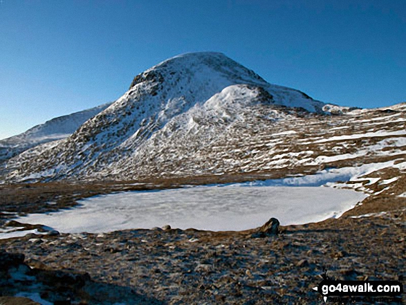
The summit of Cul Mor is marked by an Ordnance Survey Trig Point & a wind shelter.
Not familiar with this top?
See Cul Mor and the surrounding tops on our free-to-access 'Google Style' Peak Bagging Maps:
The Assynt-Coigach Mountains area of Scottish Region 16: Assynt and The Far North
Less data - quicker to download
Scottish Region 16: Assynt and The Far North
Less data - quicker to download
A go4awalk.com downloadable Peak Bagging Map in PDF format featuring Cul Mor should be available soon.
Free-to-access Interactive Walk Planning Maps:
1:25,000 scale OS Explorer Map (orange/yellow covers):
An Interactive Walk Planning Map for OS Explorer 439 Coigach & Summer Isles is not currently available
1:50,000 scale OS Landranger Map (pink/magenta covers):
An Interactive Walk Planning Map for OS Landranger 15 Loch Assynt, Lochinver & Kylesku is not currently available
 Fellow go4awalkers who have already walked, climbed, summited & bagged Cul Mor
To add (or remove) your name and experiences on this page - Log On and edit your Personal Mountain Bagging Record
More Photographs & Pictures of views from, on or of Cul Mor
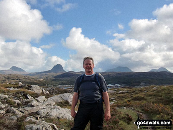
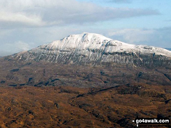
Walking from Lochinver over the moors towards Archmelvich, with Canisp, Suilven, Cul Mor, and Stac Pollaidh in the background
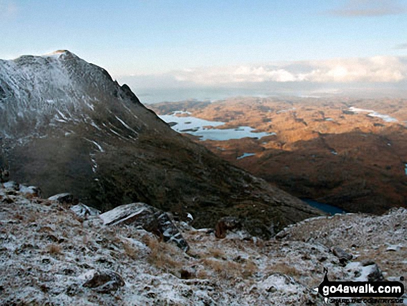
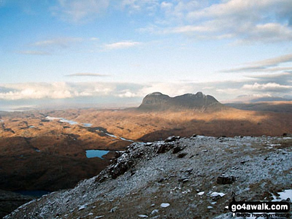
Snow on Bod a' Mhadail with Loch Sionascaig in the distance from the summit of Cul Mor
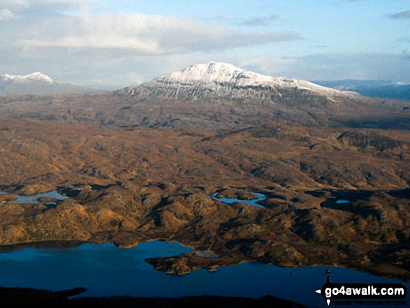
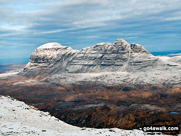
Snow on Canisp with Loch Veyatie in the foreground from the summit of Cul Mor
Send us your photographs and pictures on, of, or from Cul Mor
If you would like to add your walk photographs and pictures featuring views from, on or of Cul Mor to this page, please send them as email attachments (configured for any computer) along with your name to:
and we shall do our best to publish them.
(Guide Resolution = 300dpi. At least = 660pixels (wide) x 440 pixels (high).)

You can also submit photos via our Facebook Page.
NB. Please indicate where each photo was taken and whether you wish us to credit your photos with a Username or your First Name/Last Name.
Not familiar with this top?


