
![]()
Maoile Lunndaidh
1004m (3305ft)
The Glen Cannich & Glen Strathfarrar Mountains, Glen Cannich to Glen Carron, Highland, Scotland
A survey in June 2014 found Creag Toll a' Choin, 700m to the SW, slightly higher than Maoile Lunndaidh. For the time being, Maoile Lunndaidh remains the local Munro with Creag Toll a' Choin the local Marilyn and Murdo
Tap/mouse over a coloured circle (1-3 easy walks, 4-6 moderate walks, 7-9 hard walks) and click to select.
Not familiar with this top?
See Maoile Lunndaidh and the surrounding tops on our free-to-access 'Google Style' Peak Bagging Maps:
The Glen Cannich & Glen Strathfarrar Mountains area of Scottish Region 12: Glen Cannich to Glen Carron
Less data - quicker to download
Scottish Region 12: Glen Cannich to Glen Carron
Less data - quicker to download
A go4awalk.com downloadable Peak Bagging Map in PDF format featuring Maoile Lunndaidh should be available soon.
Free-to-access Interactive Walk Planning Maps:
1:25,000 scale OS Explorer Map (orange/yellow covers):
An Interactive Walk Planning Map for OS Explorer 430 Loch Monar, Glen Cannich & Strathfarrar is not currently available
1:50,000 scale OS Landranger Map (pink/magenta covers):
An Interactive Walk Planning Map for OS Landranger 25 Glen Carron & Glen Affric is not currently available
 Fellow go4awalkers who have already walked, climbed, summited & bagged Maoile Lunndaidh
Daniel Moran walked up Maoile Lunndaidh on May 21st, 2025 [from/via/route] glencarron [with] alex Mark Mark dereck [weather] stunning - long walk in, no paths up
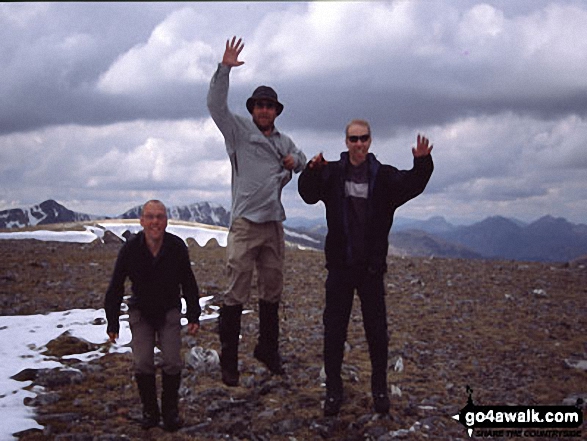
Simon Duerden, Paul Booth and Trevor Williams have all walked, climbed & bagged Maoile Lunndaidh.
To add (or remove) your name and experiences on this page - Log On and edit your Personal Mountain Bagging Record
Send us your photographs and pictures on, of, or from Maoile Lunndaidh
If you would like to add your walk photographs and pictures featuring views from, on or of Maoile Lunndaidh to this page, please send them as email attachments (configured for any computer) along with your name to:
and we shall do our best to publish them.
(Guide Resolution = 300dpi. At least = 660pixels (wide) x 440 pixels (high).)

You can also submit photos via our Facebook Page.
NB. Please indicate where each photo was taken and whether you wish us to credit your photos with a Username or your First Name/Last Name.
Not familiar with this top?


