
![]()
Jeffrey's Mount
378m (1240ft)
The Far Eastern Marches, The Lake District, Cumbria, England
Tap/mouse over a coloured circle (1-3 easy walks, 4-6 moderate walks, 7-9 hard walks) and click to select.
Not familiar with this top?
See Jeffrey's Mount and the surrounding tops on our free-to-access 'Google Style' Peak Bagging Maps:
The Far Eastern Marches area of The Lake District National Park
Less data - quicker to download
The Whole of The Lake District National Park
More data - might take a little longer to download
A go4awalk.com downloadable Peak Bagging Map in PDF format featuring Jeffrey's Mount should be available soon.
You can find Jeffrey's Mount & all the walks that climb it on these unique free-to-access Interactive Walk Planning Maps:
1:25,000 scale OS Explorer Map (orange/yellow covers):
1:50,000 scale OS Landranger Map (pink/magenta covers):
 Fellow go4awalkers who have already walked, climbed, summited & bagged Jeffrey's Mount
Mark Davidson walked up Jeffrey's Mount on June 14th, 2017 [with] Alone [weather] Warm with high white cloud & a bit hazy
Patrick Rogozinski has walked, climbed & bagged Jeffrey's Mount.
To add (or remove) your name and experiences on this page - Log On and edit your Personal Mountain Bagging Record
More Photographs & Pictures of views from, on or of Jeffrey's Mount
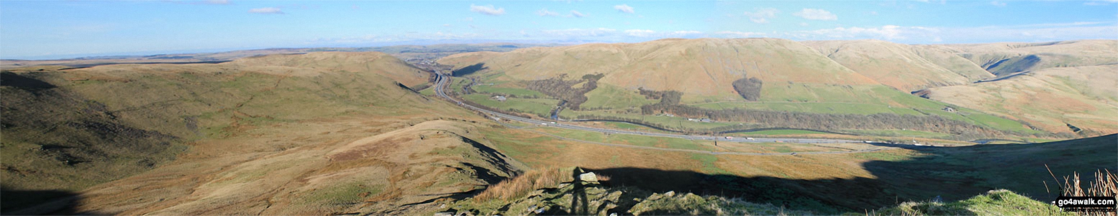
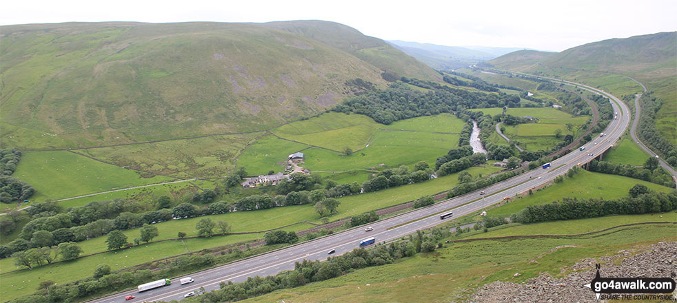
Birk Knott, Jeffrey's Mount, The M6 Motorway, Powson Knott, Blease Fell, Fell Head (Howgills) and The Howgill Fells from Grayrigg Pike (Grayrigg Forest)
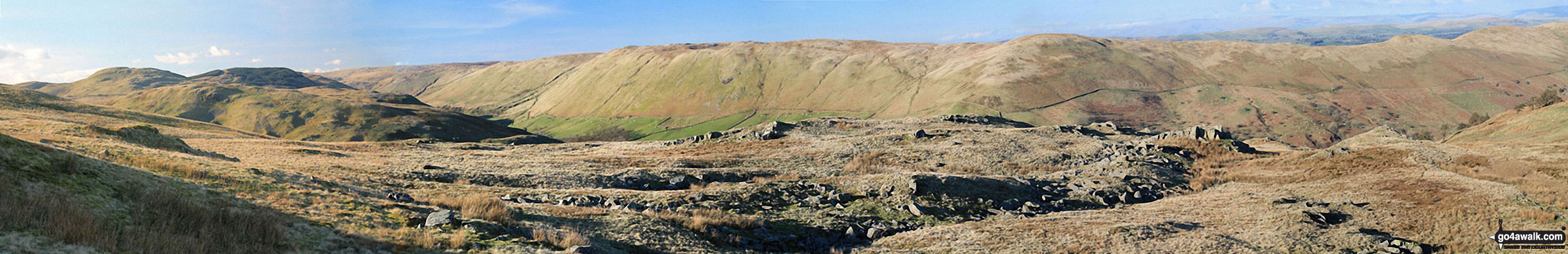
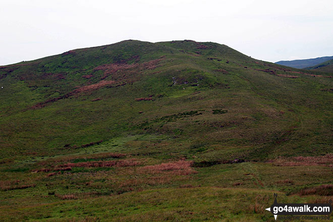
Whinash, Winterscleugh, Roundthwaite Common, Belt Howe, Birk Knott, Casterfell Hill and Jeffrey's Mount from The Repeater Station on Grayrigg Forest
Send us your photographs and pictures on, of, or from Jeffrey's Mount
If you would like to add your walk photographs and pictures featuring views from, on or of Jeffrey's Mount to this page, please send them as email attachments (configured for any computer) along with your name to:
and we shall do our best to publish them.
(Guide Resolution = 300dpi. At least = 660pixels (wide) x 440 pixels (high).)

You can also submit photos via our Facebook Page.
NB. Please indicate where each photo was taken and whether you wish us to credit your photos with a Username or your First Name/Last Name.
Not familiar with this top?


