
![]()
Dunstable Down
244m (800ft)
The Chiltern Hills (Chilterns), Bedfordshire, England
Dunstable Down is the highest point in the county of Bedfordshire.
Tap/mouse over a coloured circle (1-3 easy walks, 4-6 moderate walks, 7-9 hard walks) and click to select.
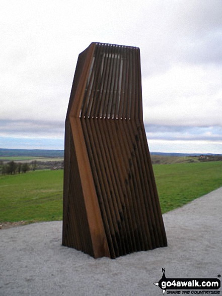
The summit of Dunstable Down is marked by an Ordnance Survey Trig Point.
Not familiar with this top?
A go4awalk.com downloadable Peak Bagging Map in PDF format featuring Dunstable Down should be available soon.
Free-to-access Interactive Walk Planning Maps:
1:25,000 scale OS Explorer Maps (orange/yellow covers):
An Interactive Walk Planning Map for OS Explorer 182 St Albans & Hatfield is not currently available
1:50,000 scale OS Landranger Map (pink/magenta covers):
An Interactive Walk Planning Map for OS Landranger 166 Luton & Hertford, Hitchin & St Albans is not currently available
 Fellow go4awalkers who have already walked, climbed, summited & bagged Dunstable Down
Hazel Gilbert walked up Dunstable Down on June 13th, 2025 [from/via/route] Top to bottom & up again [with] Lawrence [weather] hot
Carrie Bray has walked, climbed & bagged Dunstable Down.
To add (or remove) your name and experiences on this page - Log On and edit your Personal Mountain Bagging Record
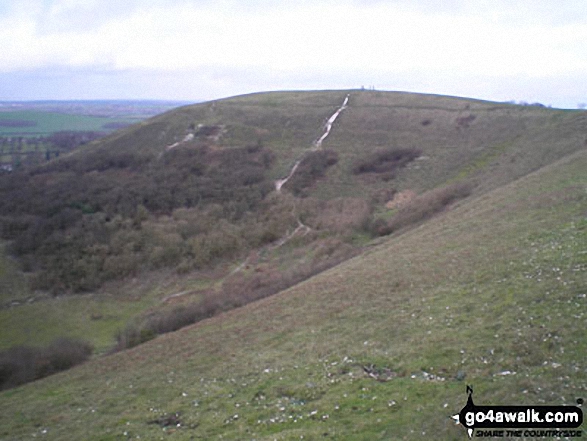
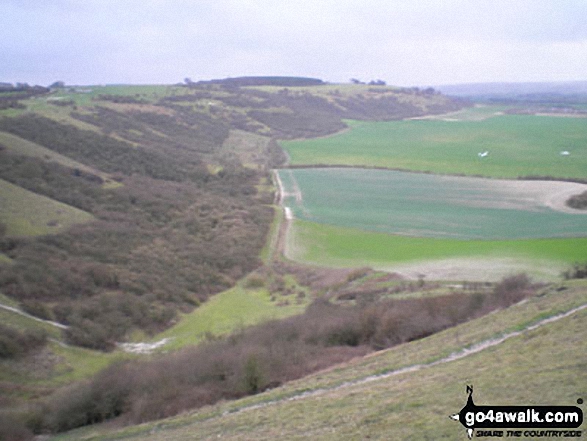
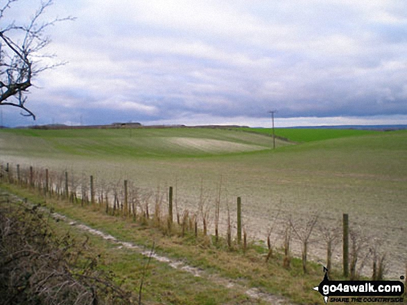
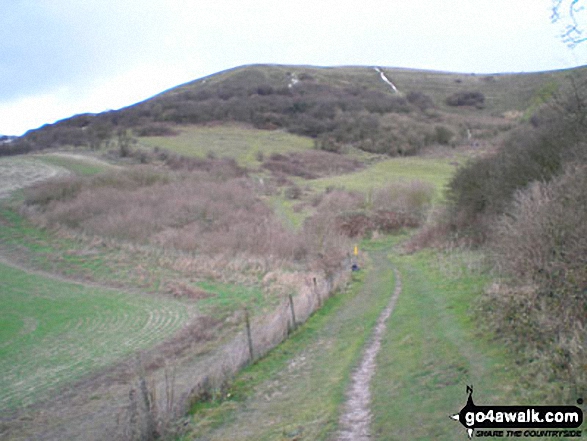
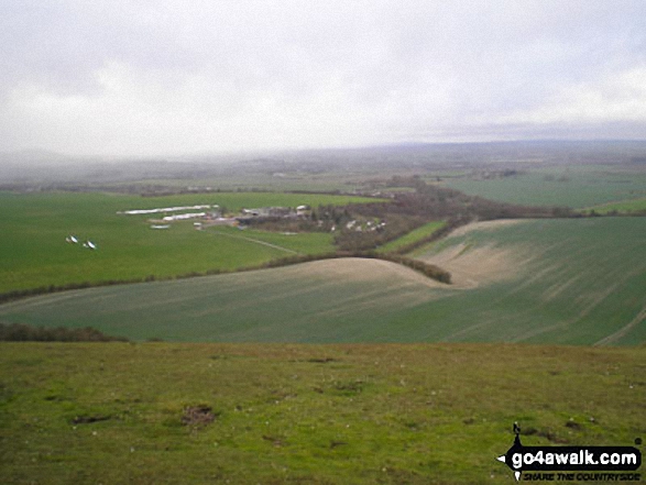
More Photographs & Pictures of views from, on or of Dunstable Down
Send us your photographs and pictures on, of, or from Dunstable Down
If you would like to add your walk photographs and pictures featuring views from, on or of Dunstable Down to this page, please send them as email attachments (configured for any computer) along with your name to:
and we shall do our best to publish them.
(Guide Resolution = 300dpi. At least = 660pixels (wide) x 440 pixels (high).)

You can also submit photos via our Facebook Page.
NB. Please indicate where each photo was taken and whether you wish us to credit your photos with a Username or your First Name/Last Name.
Not familiar with this top?


