
![]()
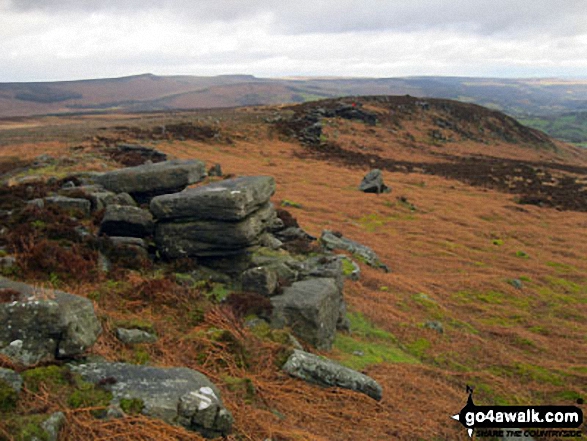
Bamford Moor
426m (1398ft)
The Dark Peak Area, The Peak District, Derbyshire, England
Tap/mouse over a coloured circle (1-3 easy walks, 4-6 moderate walks, 7-9 hard walks) and click to select.
Not familiar with this top?
   |
|---|
Vital Statistics:
| Length: | 9.5mls (15km) |
|---|---|
| Ascent: | 2,097ft (639m) |
| Time: | 5½ hrs |
| Grade: |  (Moderate) (Moderate) |
Route Summary:
Hathersage - Hathersage Pinfold - Toothill Farm - Hookcar Sitch - Overstones Farm - Cowper Stone - Stanage Edge (Stanage Edge) - Hook's Car - White Path Moss - Robin Hood's Cave - Stanage Plantation - Long Causeway - Stanage Edge - High Neb (Stanage Edge) - Crow Chin - Moscar Moor - Bamford Moor - Upper Hurst Brook - Bole Hill (Bamford) - Bolehill Wood - Upper Hurst Farm - Gatehouse Farm - Hurstclough Lane - Nether Hurst Farm - Coggers Lane - Hathersage
See Bamford Moor and the surrounding tops on our free-to-access 'Google Style' Peak Bagging Maps:
The Dark Peak Area of The Peak District National Park
Less data - quicker to download
See Bamford Moor and the surrounding tops on our downloadable Peak Bagging Map in PDF format:

NB: Whether you print off a copy or download it to your phone, this PDF Peak Baggers' Map might prove incredibly useful when your are up there on the tops and you cannot get a phone signal.
You can find Bamford Moor & all the walks that climb it on these unique free-to-access Interactive Walk Planning Maps:
1:25,000 scale OS Explorer Map (orange/yellow covers):
1:50,000 scale OS Landranger Map (pink/magenta covers):
 Fellow go4awalkers who have already walked, climbed, summited & bagged Bamford Moor
Ruth Mcfarlane walked up Bamford Moor during June, 2023 [from/via/route] Bamford to Hathersage [with] Mark
Christine Shepherd climbed Bamford Moor on April 9th, 2019 [from/via/route] Walked from Hathersage using walk d130 [with] On my own [weather] Lovely spring sunshine. Quite a gusty breeze on the summits. - A good walk. The 'boggy moor' wasn't boggy today & there were quite a few narrow but clear paths from High Neb over to Bamford Moor.
Michael Lee bagged Bamford Moor during 1986 [from/via/route] Car park alongside!! [with] Jill and loads of other people [weather] various - Done this many times in all sorts of weathers..
Andrew Joss hiked Bamford Moor on February 21st, 2015 [from/via/route] Heatherdene Car Park [with] Barbara [weather] Sunny then rainy
John Gehrke summited Bamford Moor on May 26th, 2014 [from/via/route] d130 [with] solo - great walk (very boggy only briefly)
Nicola Parkinson conquered Bamford Moor on March 29th, 2014 [from/via/route] d130 from Hathersage [with] Stu [weather] Hazy sunshine
Joanne Mcgawley scaled Bamford Moor on January 12th, 2012 [with] Rich [weather] Sunny but cold - 8.7 miles
Jim Sallis and Mark Davidson have both walked, climbed & bagged Bamford Moor.
To add (or remove) your name and experiences on this page - Log On and edit your Personal Mountain Bagging Record
More Photographs & Pictures of views from, on or of Bamford Moor
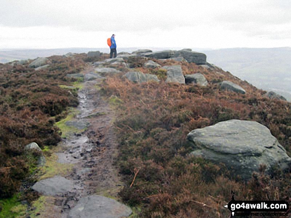
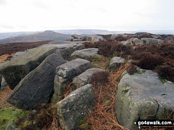
Bamford Edge on Bamford Moor with Lose Hill (Ward's Piece) prominent beyond
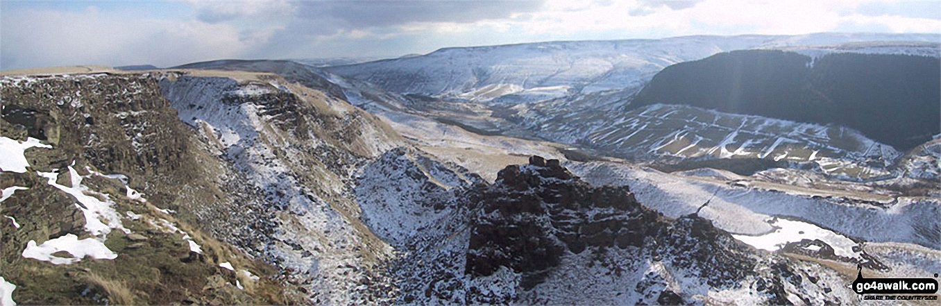
Bamford Moor and Winhill Pike (Win Hill) from The Tower, Alport Castles in the snow
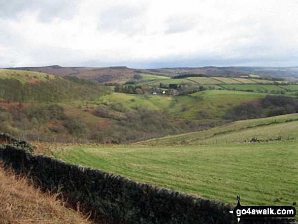
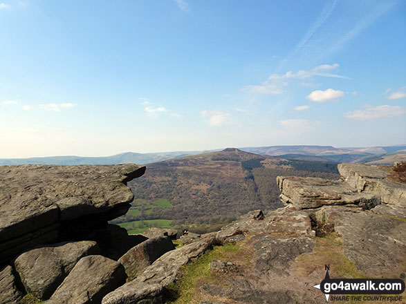
Stanage Edge (Stanage Edge) and Hathersage from the lower slopes of Bamford Moor
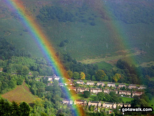
A rainbow over Bamford Moor from near to the top of Parkin Clough, Winhill Pike (Win Hill)
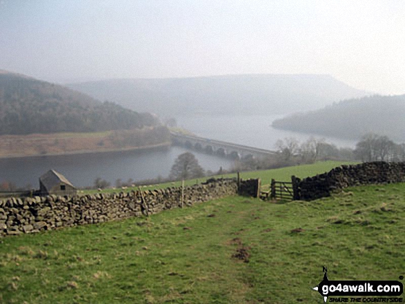
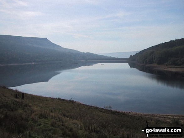
The road bridge (A57) across Ladybower Reservoir with Bamford Moor in the background from Crook Hill (Ladybower)
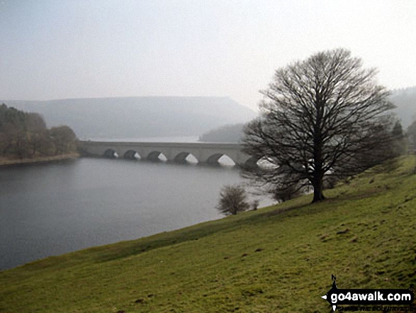
The road bridge (A57) across Ladybower Reservoir with Bamford Moor in the background from near Crookhill Farm on the lower slopes of Crook Hill (Ladybower)
Winhill Pike (Win Hill) across Bamford Moor from High Neb (Stanage Edge)
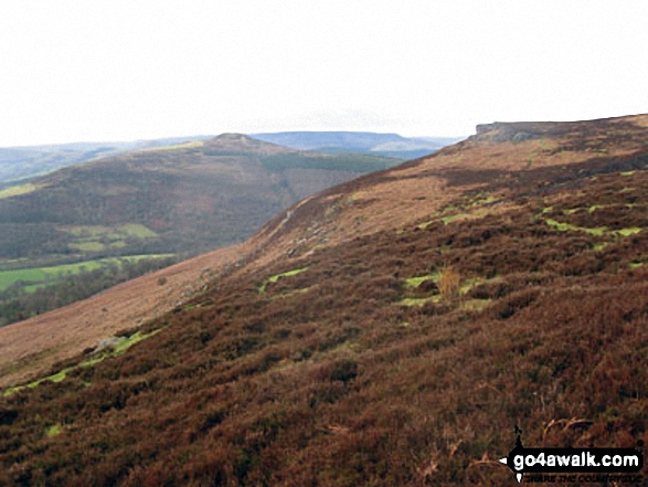
Winhill Pike (Win Hill) and Bamford Edge from the lower slopes of Bamford Moor
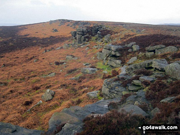
Bamford Edge, Bamford Moor with Stanage Edge (Stanage Edge) in the distance
Send us your photographs and pictures on, of, or from Bamford Moor
If you would like to add your walk photographs and pictures featuring views from, on or of Bamford Moor to this page, please send them as email attachments (configured for any computer) along with your name to:
and we shall do our best to publish them.
(Guide Resolution = 300dpi. At least = 660pixels (wide) x 440 pixels (high).)

You can also submit photos via our Facebook Page.
NB. Please indicate where each photo was taken and whether you wish us to credit your photos with a Username or your First Name/Last Name.
Not familiar with this top?


