Scottish Region 10: Glen Shiel to Glenfinnan and Loch Eil - a fully detailed list of all the Mountains, Peaks, Tops and Hills (Page 1 of 4)
Scottish Region 10: Glen Shiel to Glenfinnan and Loch Eil region is the area enclosed by an imaginary line connecting:
- Ardintoul Point to Invermoriston via Loch Alsh, Loch Duich, Glenshiel Loch Cluanie Bun Loyne, Glen Moriston to the North
- Invermoriston to Fort William via The Great Glen, Loch Ness, Fort Augustus, Invergarry & Loch Lochy to the South East
- Fort William to Mallaig via the A830 through Loch Eil, Glen Finnan & Arisaig to the South
- Mallaig to Ardintoul Point via the Sound of Sleat to the West
If you include all the Munros, the Corbetts, the Grahams, the Donalds, the Murdos, the Marilyns, the Bridgets (Hills), and all the Mountains, Tops, Peaks and Hills with a Trig Point on them there are 95 tops to climb, bag & conquer and the highest point is Sgurr na Ciche at 1,040m (3,413ft).
To see these Mountains, Peaks, Tops and Hills displayed in different ways - see the options in the left-hand column and towards the bottom of this page.
![]() Your Personal Bagging Record for Scottish Region 10: Glen Shiel to Glenfinnan and Loch Eil
Your Personal Bagging Record for Scottish Region 10: Glen Shiel to Glenfinnan and Loch Eil
LOG ON and RELOAD this page to show which Mountains, Peaks, Tops and Hills you have already climbed, bagged & conquered [. . . more details]
See this list in: Alphabetical Order
| Height Order‡
To reverse the order select the link again.
Mountain, Peak, Top or Hill:
Bagged

![]()
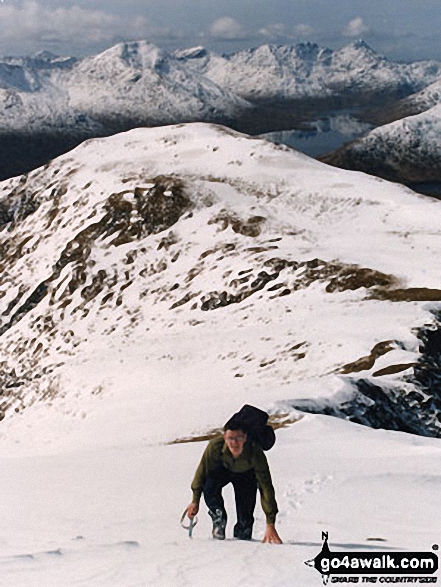
1. Sgurr na Ciche
1,040m (3,413ft)
Sgurr na Ciche is on interactive maps:
A downloadable go4awalk.com PDF Peak Bagging Map featuring Sgurr na Ciche will be available soon. |
![]()
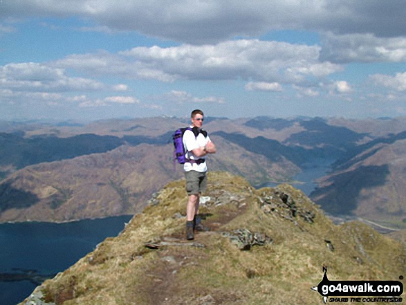
2. Gleouraich
1,035m (3,397ft)
Gleouraich is on interactive maps:
A downloadable go4awalk.com PDF Peak Bagging Map featuring Gleouraich will be available soon. |

![]()
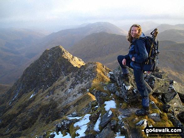
3. Sgurr a' Mhaoraich
1,027m (3,371ft)
Sgurr a' Mhaoraich is on interactive maps:
A downloadable go4awalk.com PDF Peak Bagging Map featuring Sgurr a' Mhaoraich will be available soon. |
![]()
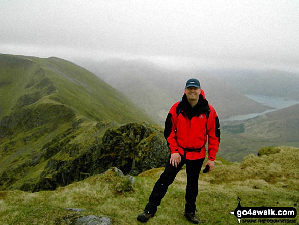
4. Ladhar Bheinn
1,020m (3,346ft)
Ladhar Bheinn is on interactive maps:
A downloadable go4awalk.com PDF Peak Bagging Map featuring Ladhar Bheinn will be available soon. |
![]()
5. Aonach air Chrith
1,020m (3,345ft)
Aonach air Chrith is on interactive maps:
A downloadable go4awalk.com PDF Peak Bagging Map featuring Aonach air Chrith will be available soon. |
![]()
6. Garbh Chioch Mhor
1,013m (3,325ft)
Garbh Chioch Mhor is on interactive maps:
A downloadable go4awalk.com PDF Peak Bagging Map featuring Garbh Chioch Mhor will be available soon. |
![]()
7. The Saddle (Glenshiel)
1,011m (3,318ft)
The Saddle (Glenshiel) is on interactive maps:
A downloadable go4awalk.com PDF Peak Bagging Map featuring The Saddle (Glenshiel) will be available soon. |
![]()
8. Sgurr an Doire Leathain
1,010m (3,315ft)
Send it in and we'll publish it here.
Sgurr an Doire Leathain is on interactive maps:
A downloadable go4awalk.com PDF Peak Bagging Map featuring Sgurr an Doire Leathain will be available soon. |

![]()
9. Craig Coire na Fiar Bhealaich (Gleouraich)
1,006m (3,302ft)
Send it in and we'll publish it here.
Craig Coire na Fiar Bhealaich (Gleouraich) is on interactive maps:
A downloadable go4awalk.com PDF Peak Bagging Map featuring Craig Coire na Fiar Bhealaich (Gleouraich) will be available soon. |

![]()
10. Sgurr an Lochain (Glen Shiel)
1,004m (3,295ft)
Sgurr an Lochain (Glen Shiel) is on interactive maps:
A downloadable go4awalk.com PDF Peak Bagging Map featuring Sgurr an Lochain (Glen Shiel) will be available soon. |
![]()
11. Sgurr Mor (Glen Kingie)
1,003m (3,292ft)
Send it in and we'll publish it here.
Sgurr Mor (Glen Kingie) is on interactive maps:
A downloadable go4awalk.com PDF Peak Bagging Map featuring Sgurr Mor (Glen Kingie) will be available soon. |
![]()
12. Spidean Mialach
996m (3,269ft)
Spidean Mialach is on interactive maps:
A downloadable go4awalk.com PDF Peak Bagging Map featuring Spidean Mialach will be available soon. |
![]()
13. Druim Shionnach
987m (3,239ft)
Druim Shionnach is on interactive maps:
A downloadable go4awalk.com PDF Peak Bagging Map featuring Druim Shionnach will be available soon. |
![]()
14. Gaor Bheinn (Gulvain)
987m (3,239ft)
Send it in and we'll publish it here.
Gaor Bheinn (Gulvain) is on interactive maps:
A downloadable go4awalk.com PDF Peak Bagging Map featuring Gaor Bheinn (Gulvain) will be available soon. |
![]()
15. Maol Chinn-dearg
981m (3,220ft)
Maol Chinn-dearg is on interactive maps:
A downloadable go4awalk.com PDF Peak Bagging Map featuring Maol Chinn-dearg will be available soon. |
![]()
16. Beinn Sgritheall
974m (3,197ft)
Beinn Sgritheall is on interactive maps:
A downloadable go4awalk.com PDF Peak Bagging Map featuring Beinn Sgritheall will be available soon. |
![]()
17. Sgurr Thuilm (Glen Pean)
963m (3,161ft)
Send it in and we'll publish it here.
Sgurr Thuilm (Glen Pean) is on interactive maps:
A downloadable go4awalk.com PDF Peak Bagging Map featuring Sgurr Thuilm (Glen Pean) will be available soon. |

![]()
18. Gaor Bheinn (Gulvain) (South Top)
962m (3,157ft)
Send it in and we'll publish it here.
Gaor Bheinn (Gulvain) (South Top) is on interactive maps:
A downloadable go4awalk.com PDF Peak Bagging Map featuring Gaor Bheinn (Gulvain) (South Top) will be available soon. |
![]()
19. Stob a' Choire Odhair (Ladhar Bheinn)
960m (3,151ft)
Send it in and we'll publish it here.
Stob a' Choire Odhair (Ladhar Bheinn) is on interactive maps:
A downloadable go4awalk.com PDF Peak Bagging Map featuring Stob a' Choire Odhair (Ladhar Bheinn) will be available soon. |
![]()
20. Sgurr nan Coireachan (Glen Pean)
956m (3,138ft)
Send it in and we'll publish it here.
Sgurr nan Coireachan (Glen Pean) is on interactive maps:
A downloadable go4awalk.com PDF Peak Bagging Map featuring Sgurr nan Coireachan (Glen Pean) will be available soon. |
![]()
21. Sgurr nan Coireachan (Glen Dessary)
953m (3,128ft)
Send it in and we'll publish it here.
Sgurr nan Coireachan (Glen Dessary) is on interactive maps:
A downloadable go4awalk.com PDF Peak Bagging Map featuring Sgurr nan Coireachan (Glen Dessary) will be available soon. |
![]()
22. Creag a' Mhaim
947m (3,108ft)
Creag a' Mhaim is on interactive maps:
A downloadable go4awalk.com PDF Peak Bagging Map featuring Creag a' Mhaim will be available soon. |
![]()
23. Meall Buidhe (Knoydart)
946m (3,105ft)
Send it in and we'll publish it here.
Meall Buidhe (Knoydart) is on interactive maps:
A downloadable go4awalk.com PDF Peak Bagging Map featuring Meall Buidhe (Knoydart) will be available soon. |
![]()
24. Sgurr na Sgine
946m (3,105ft)
Sgurr na Sgine is on interactive maps:
A downloadable go4awalk.com PDF Peak Bagging Map featuring Sgurr na Sgine will be available soon. |
![]()
25. Meall Buidhe (Knoydart) (South East Top)
942m (3,092ft)
Send it in and we'll publish it here.
Meall Buidhe (Knoydart) (South East Top) is on interactive maps:
A downloadable go4awalk.com PDF Peak Bagging Map featuring Meall Buidhe (Knoydart) (South East Top) will be available soon. |
![]()
26. Luinne Bheinn
939m (3,082ft)
Luinne Bheinn is on interactive maps:
A downloadable go4awalk.com PDF Peak Bagging Map featuring Luinne Bheinn will be available soon. |
![]()
27. Spidean Dhomhuill Bhric (The Saddle)
939m (3,082ft)
Send it in and we'll publish it here.
Spidean Dhomhuill Bhric (The Saddle) is on interactive maps:
A downloadable go4awalk.com PDF Peak Bagging Map featuring Spidean Dhomhuill Bhric (The Saddle) will be available soon. |
![]()
28. Druim Shionnach (West Top)
938m (3,079ft)
Send it in and we'll publish it here.
Druim Shionnach (West Top) is on interactive maps:
A downloadable go4awalk.com PDF Peak Bagging Map featuring Druim Shionnach (West Top) will be available soon. |
![]()
29. Sron a' Choire Ghairbh
937m (3,075ft)
Send it in and we'll publish it here.
Sron a' Choire Ghairbh is on interactive maps:
A downloadable go4awalk.com PDF Peak Bagging Map featuring Sron a' Choire Ghairbh will be available soon. |
![]()
30. Gairich
919m (3,016ft)
Gairich is on interactive maps:
A downloadable go4awalk.com PDF Peak Bagging Map featuring Gairich will be available soon. |
View these 95 Mountains, Peaks, Tops and Hills:
- On an Interactive Google Map (loads faster)
- On an Interactive Google Map with a list of tops below it.
(makes it easier to locate a particular top) - On a Detailed List in:
Alphabetical Order | Height Order - On one page with 'yet-to-be-bagged' listed 1st & then 'already-bagged' tops listed 2nd in:
Alphabetical Order | Height Order - On one page with 'already-bagged' tops listed 1st & then 'yet-to-be-bagged' tops listed 2nd in:
Alphabetical Order | Height Order
Is there a Mountain, Peak, Top or Hill missing from the above google map or list?
Let us know an we will add it to our database.

To contribute to go4awalk.com or to contact us about anything at all - see Talk To Us.
For help see Help.
go4awalk.com and go4awalk.co.uk are registered trademarks of TMDH Limited.
Copyright © 2000-2025 TMDH Limited. All rights reserved.
Copyright Terms & Conditions Privacy Statement
A - Z Walks Home Log On/Accounts Photo Gallery Walk Ideas and Collections Fell Facts Hill Skills Walking Questions and Answers Your Stories News Competitions Product Reviews/Gear Tests Walking Gear Guides Peaks and Mountains Peak Bagging Find New Walking Friends Camping GPS Waypoints for Walking Contents Walk Search Talk To Us go4awalk.com Help Free Example Walks Newsletter


