   |
Vital Statistics:
| Length: | 5½mls (9km) |
| Ascent: | 893ft (272m) |
| Time: | 3hrs |
| Grade: |  |
Route outline for walk c165:
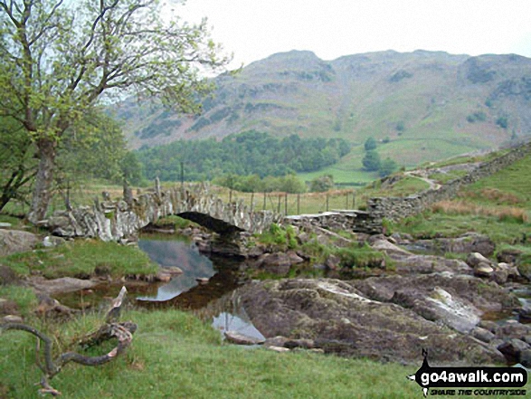
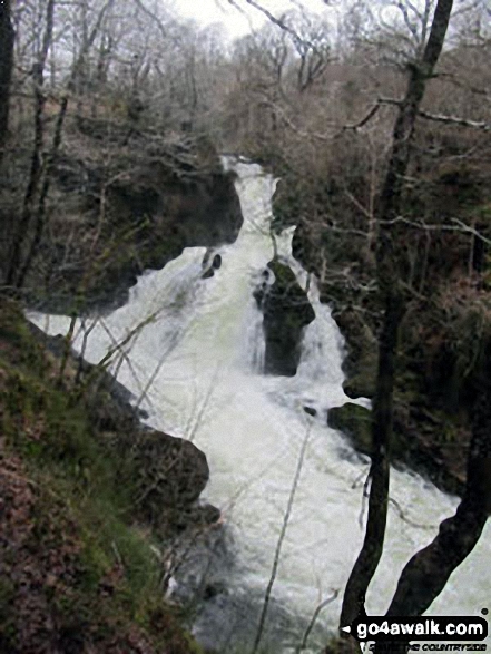
Elterwater - The Cumbria Way - Elter Water - Skelwith Force - River Brathay - Skelwith Bridge - Low Park - High Park - High Colwith - Colwith Force - Stang End - Little Langdale - Slater Bridge - Little Langdale Tarn - Dale End - Elterwater
Peaks, Summits and Tops reached on this walk:
 0 English Mountains |
 0 Wainwrights |
 0 English Nuttalls |
 0 English Deweys |
 0 Wainwright Outlying Fells |
 0 Marilyns |
 1 Bridget |
Peak Bagging Statistics for this walk:
The highest point of this walk is High Park at 247m (810ft). High Park is known as an English Bridget. The summit of High Park is marked by an Ordnance Survey Trig Point.
National Trails & Long Paths included on this walk:
Part of this walk follows a section of The Cumbria Way, a 112km (70 miles) linear footpath connecting Ulverston in Cumbria, England with Carlisle in Cumbria, England. The Cumbria Way is waymarked by named posts. For more walks that include a section of this trail see The Cumbria Way.
You can find this walk and other nearby walks on these unique free-to-access Interactive Walk Planning Maps:
1:25,000 scale OS Explorer Map (orange/yellow covers):
1:50,000 scale OS Landranger Map (pink/magenta covers):
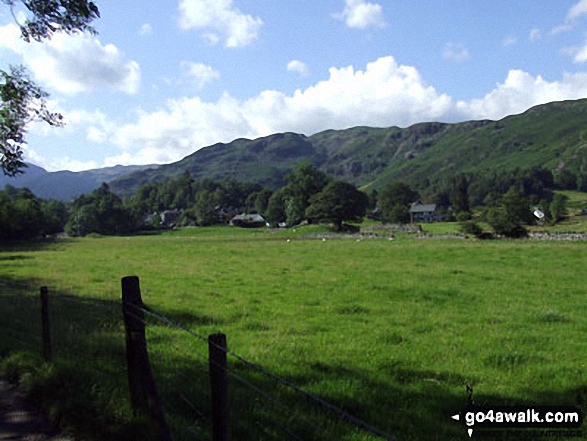
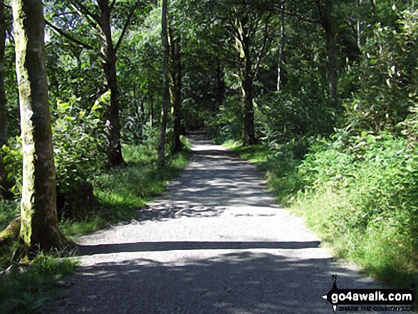
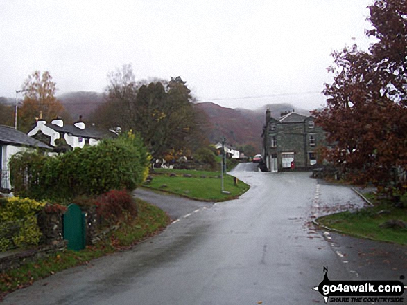
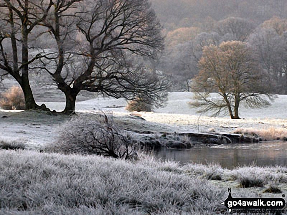
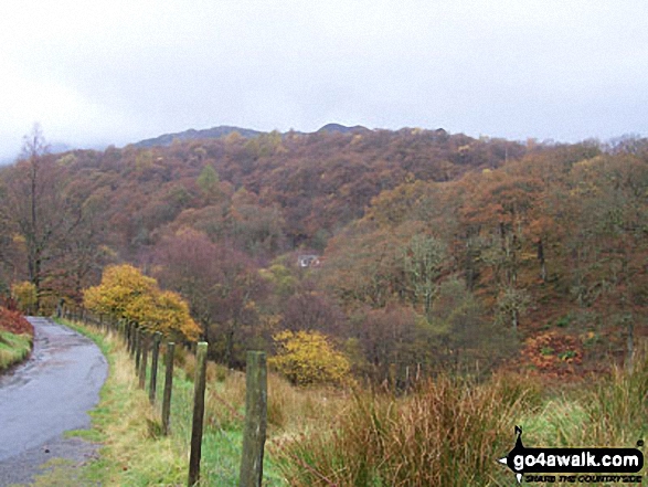
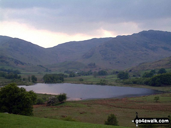
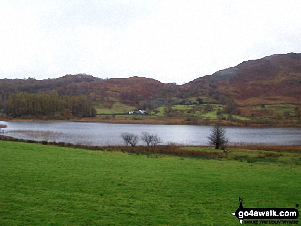
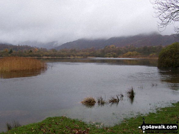
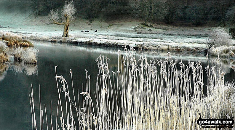
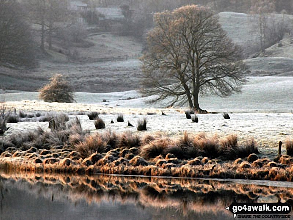
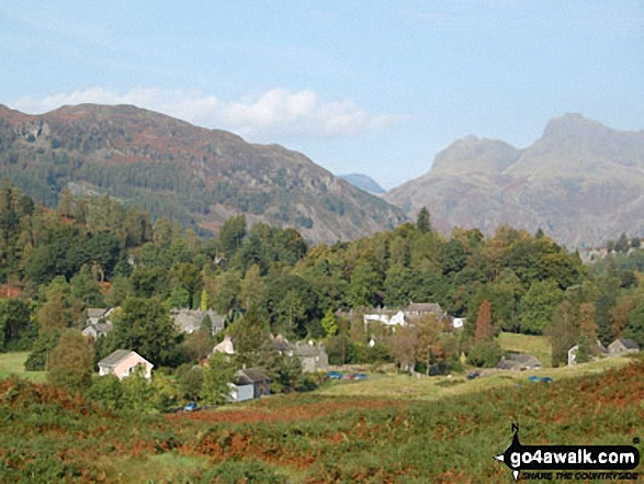
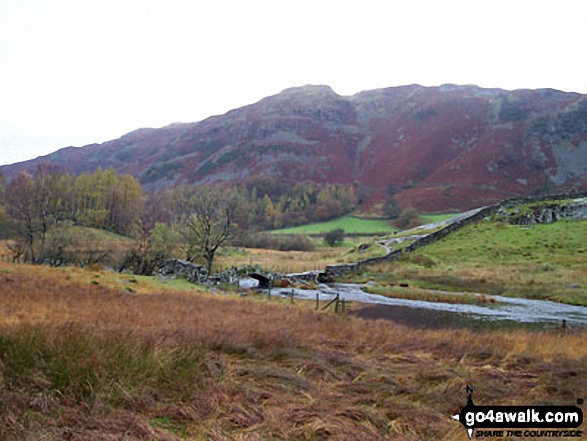
Some Photos and Pictures from Walk c165 Little Langdale from Elterwater
In no particular order . . .
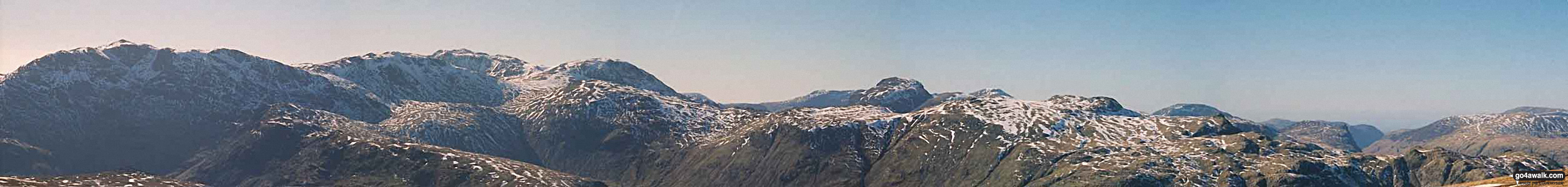
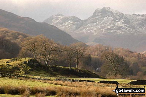
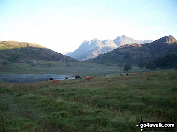
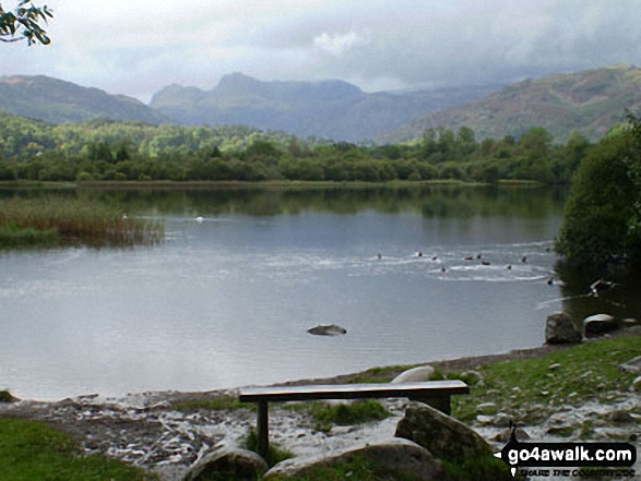
Little Langdale Tarn with sunlight on The Langdale Pikes beyond from near Slater Bridge Bridge, Little Langdale
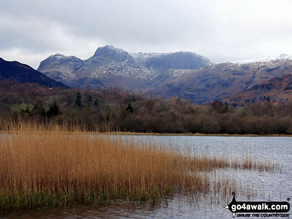
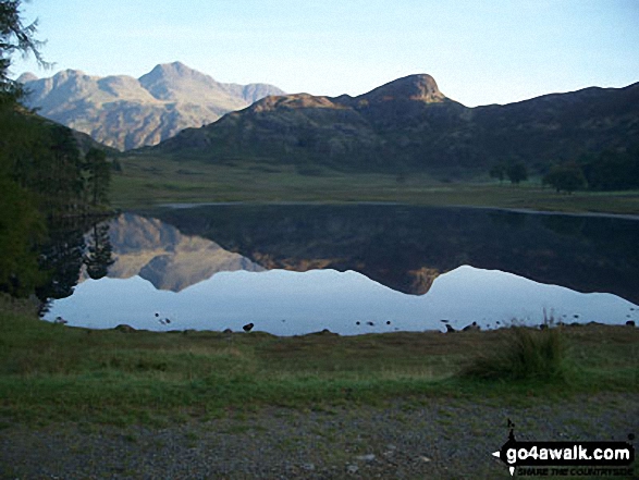
Busk Pike and The Langdale Pikes beyond Little Langdale Tarn from near Slater Bridge Bridge, Little Langdale
. . . load all 45 walk photos from Walk c165 Little Langdale from Elterwater
Send us your photographs and pictures from your walks and hikes
We would love to see your photographs and pictures from walk c165 Little Langdale from Elterwater. Send them in to us as email attachments (configured for any computer) along with your name and where the picture was taken to:
and we shall do our best to publish them.
(Guide Resolution = 300dpi. At least = 660 pixels (wide) x 440 pixels (high).)

You can also submit photos from walk c165 Little Langdale from Elterwater via our Facebook Page.
NB. Please indicate where each photo was taken.


