  |
Vital Statistics:
| Length: | 6½mls (10.5km) |
| Ascent: | 2,156ft (657m) |
| Time: | 4½hrs |
| Grade: |  |
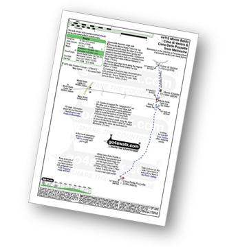
Route outline for walk ve112:
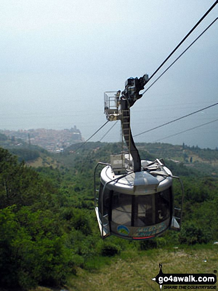
Malcesine - Monte Baldo Cable Car - Monte Grande - Cime Di Ventrar - Bocca Trades Pin - Cime Delle Pozette - Monte Baldo Cable Car - Malcesine
Free-to-access Interactive Walk Planning Maps:
1:50,000 scale OS Landranger Maps (pink/magenta covers):
An Interactive Walk Planning Map for OS Landranger KO102 Lago di Garda Monte Baldo - 1:50 000 Scale is not currently available
An Interactive Walk Planning Map for OS Landranger KO691 Monte Baldo Nord - 1:25 000 Scale is not currently available
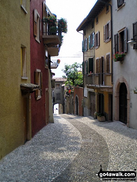
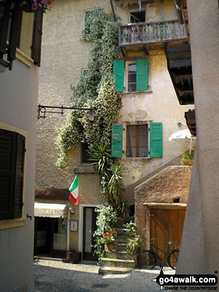
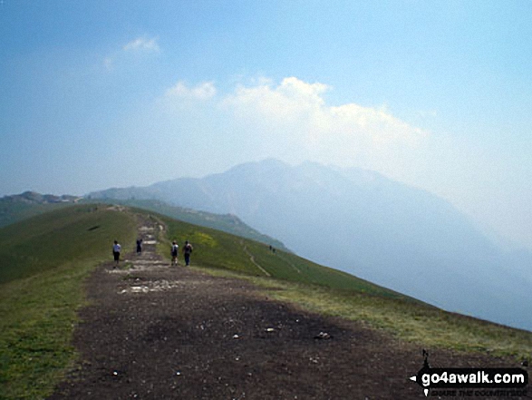
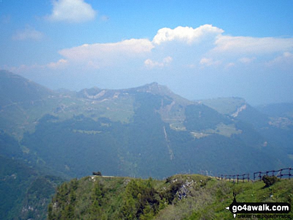
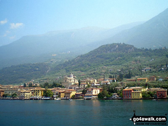
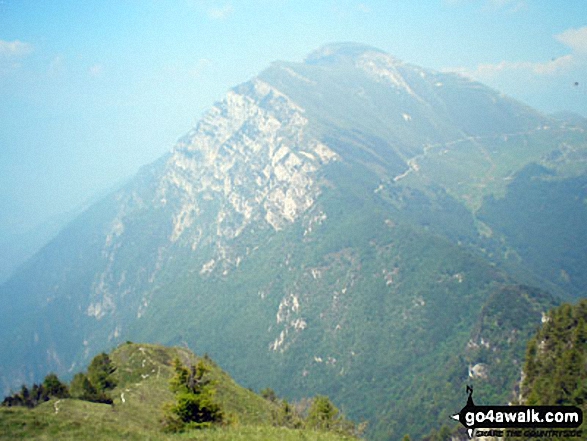
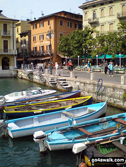
Some Photos and Pictures from Walk ve112 Monte Baldo - Cime di Ventrar from Malcesine
In no particular order . . .
Send us your photographs and pictures from your walks and hikes
We would love to see your photographs and pictures from walk ve112 Monte Baldo - Cime di Ventrar from Malcesine. Send them in to us as email attachments (configured for any computer) along with your name and where the picture was taken to:
and we shall do our best to publish them.
(Guide Resolution = 300dpi. At least = 660 pixels (wide) x 440 pixels (high).)

You can also submit photos from walk ve112 Monte Baldo - Cime di Ventrar from Malcesine via our Facebook Page.
NB. Please indicate where each photo was taken.


