   |
Vital Statistics:
| Length: | 2¾mls (4.5km) |
| Ascent: | 627ft (191m) |
| Time: | 1¾hrs |
| Grade: |  |
Route outline for walk st125:
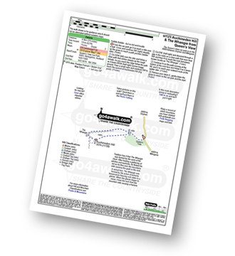
Queen's View - Auchineden Hill - The Whangie - Queen's View
Points of Interest/Notes on this walk:
Tradition has it that The Whangie was formed by the work of the Devil. After hosting a gathering of witches and warlocks, he flicked his tail as he flew over the mountains side causing this gash in the rock.
In actual fact, The Whangie was formed by the action of extreme temperature freezing rock slabs to a glacier. When the glacier began to move, it tore the rock from the mountain side causing a fracture.
Peaks, Summits and Tops reached on this walk:
Peak Bagging Statistics for this walk:
Free-to-access Interactive Walk Planning Maps:
1:25,000 scale OS Explorer Map (orange/yellow covers):
An Interactive Walk Planning Map for OS Explorer OL38 Loch Lomond South is not currently available
1:50,000 scale OS Landranger Map (pink/magenta covers):
An Interactive Walk Planning Map for OS Landranger 64 Glasgow, Motherwell & Airdrie is not currently available
Send us your photographs and pictures from your walks and hikes
We would love to see your photographs and pictures from walk st125 Auchineden Hill and The Whangie from Queen's View. Send them in to us as email attachments (configured for any computer) along with your name and where the picture was taken to:
and we shall do our best to publish them.
(Guide Resolution = 300dpi. At least = 660 pixels (wide) x 440 pixels (high).)

You can also submit photos from walk st125 Auchineden Hill and The Whangie from Queen's View via our Facebook Page.
NB. Please indicate where each photo was taken.


