   |
Vital Statistics:
| Length: | 4¾mls (7.5km) |
| Ascent: | 742ft (226m) |
| Time: | 2½hrs |
| Grade: |  |
Route outline for walk s110:
Ipstones - Booth's Hall Farm - Cherryeye Bridge - Caldon Canal - The Staffordshire Way - Podmores Bridge - Booth's Wood - Consall New Lock - Crowgutter Wood - Churnet Valley Railway - Consall Forge - River Churnet - Devil's Staircase - Belmont Hall - Noonsun Common - Ipstones
National Trails & Long Paths included on this walk:
Part of this walk follows a section of The Staffordshire Way, a 153km (95 miles) linear footpath connecting Mow Cop in Cheshire, England with Kinver Edge in Staffordshire, England. The Staffordshire Way is waymarked by a knotted rope motif. For more walks that include a section of this trail see The Staffordshire Way.
You can find this walk and other nearby walks on these unique free-to-access Interactive Walk Planning Maps:
1:25,000 scale OS Explorer Map (orange/yellow covers):
An Interactive Walk Planning Map for OS Explorer 259 Derby, Uttoxeter, Ashbourne & Cheadle is not currently available
1:50,000 scale OS Landranger Map (pink/magenta covers):
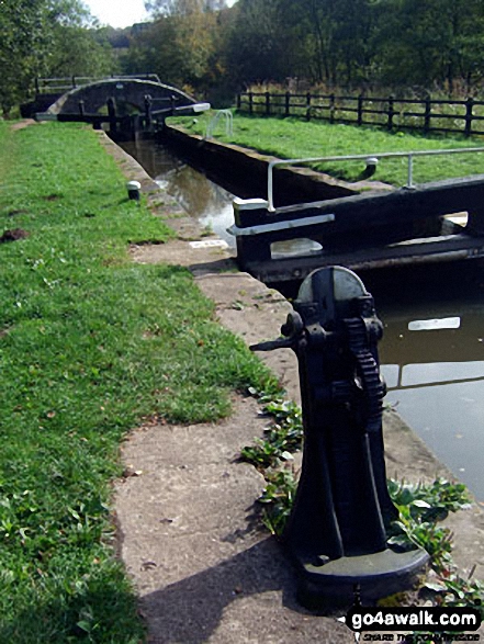
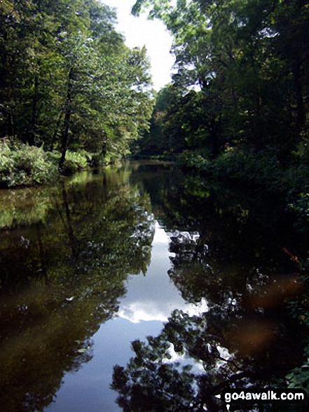
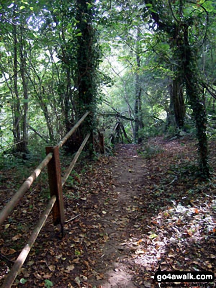
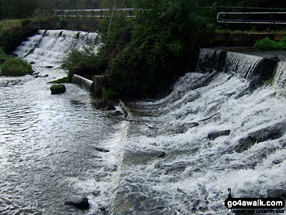
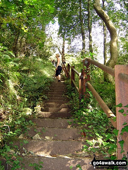
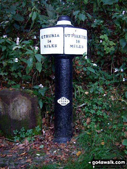
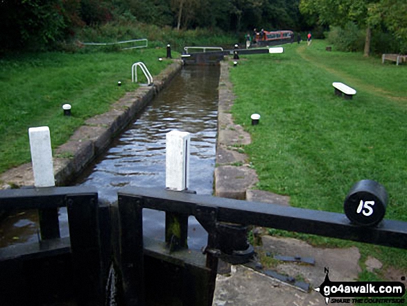
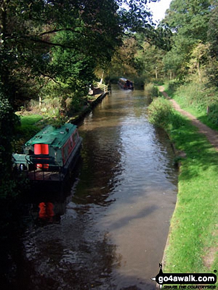
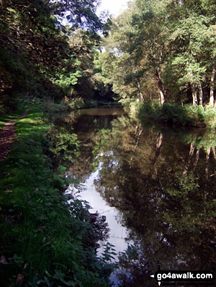
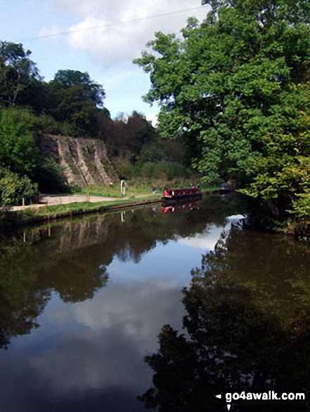
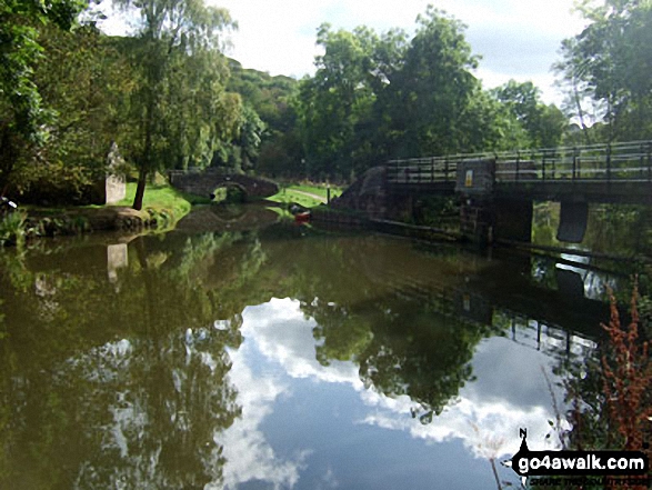
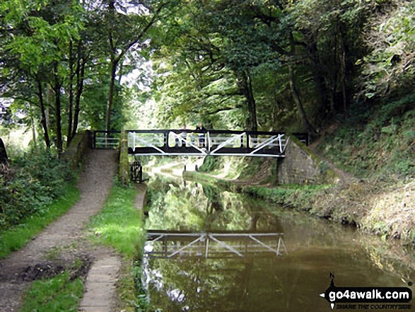
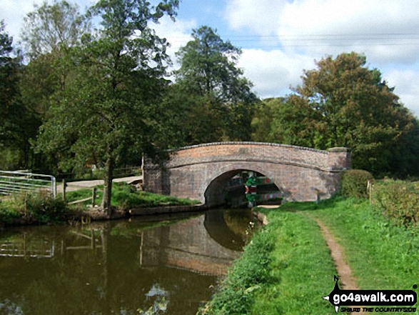
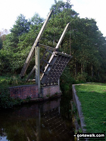
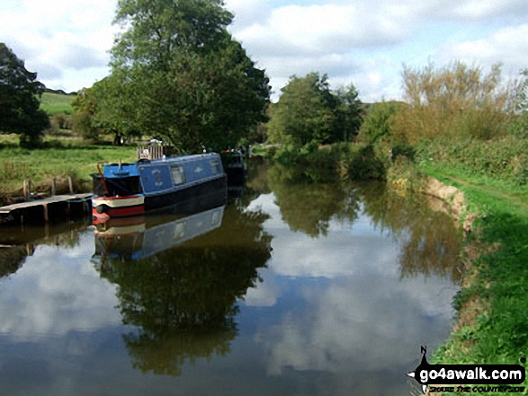
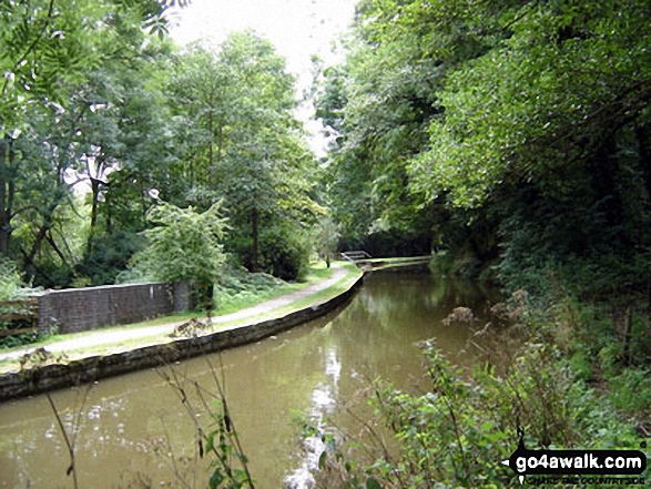
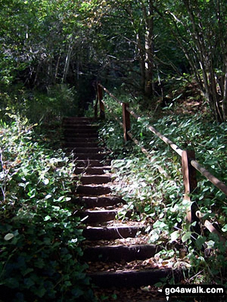
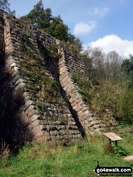
Some Photos and Pictures from Walk s110 Consall Forge and The Caldon Canal from Ipstones
In no particular order . . .

Send us your photographs and pictures from your walks and hikes
We would love to see your photographs and pictures from walk s110 Consall Forge and The Caldon Canal from Ipstones. Send them in to us as email attachments (configured for any computer) along with your name and where the picture was taken to:
and we shall do our best to publish them.
(Guide Resolution = 300dpi. At least = 660 pixels (wide) x 440 pixels (high).)

You can also submit photos from walk s110 Consall Forge and The Caldon Canal from Ipstones via our Facebook Page.
NB. Please indicate where each photo was taken.


