   |
Vital Statistics:
| Length: | 6½mls (10.5km) |
| Ascent: | 932ft (284m) |
| Time: | 3¼hrs |
| Grade: |  |
Route outline for walk ny201:
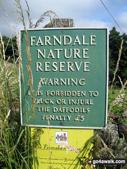
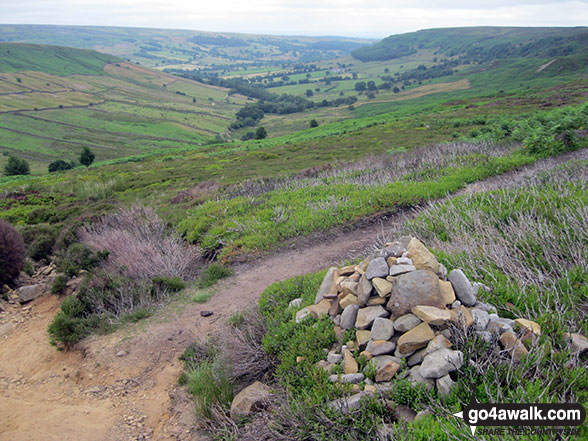
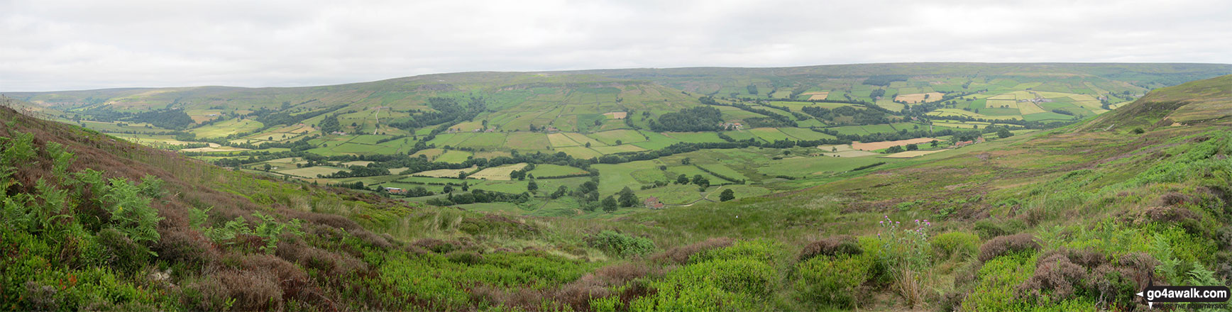
Low Mill - Horn End Farm - Crow Wood - West Gill Beck - Westside Road (Track) - West Gill Head - Rudland Rigg - Dickon Howe - Monket House Bank (Track) - Monket House - Thorn Wath Bridge - Church Houses - High Mill - River Dove - Ferndale Nature Reserve - Low Mill
You can find this walk and other nearby walks on these unique free-to-access Interactive Walk Planning Maps:
1:25,000 scale OS Explorer Map (orange/yellow covers):
1:50,000 scale OS Landranger Maps (pink/magenta covers):
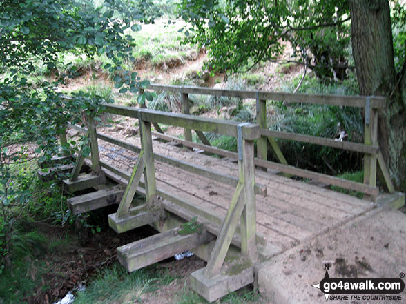
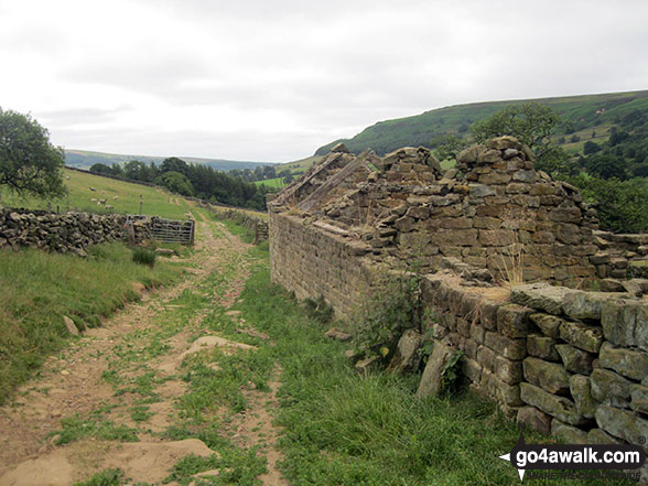
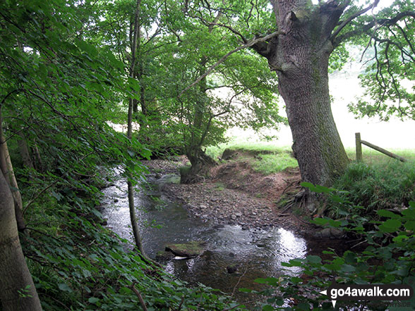
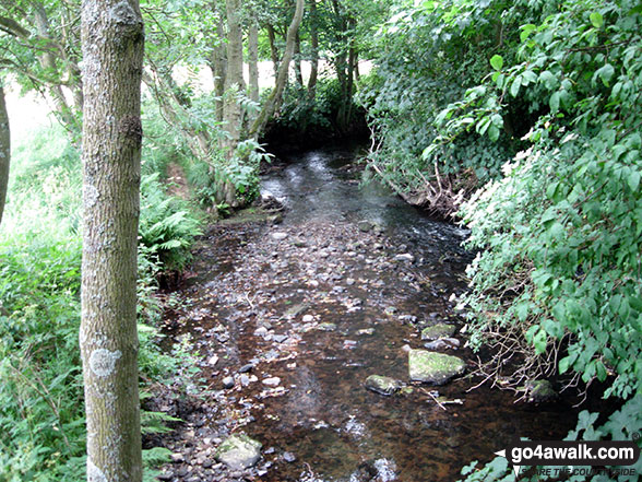
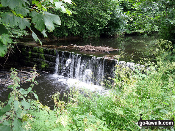
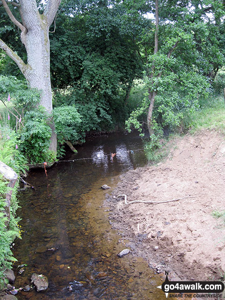
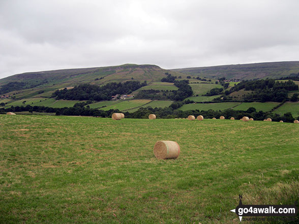
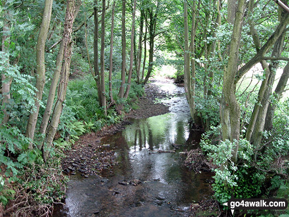
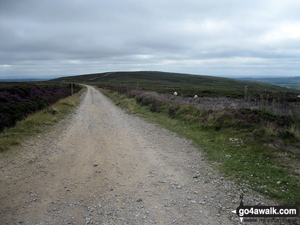
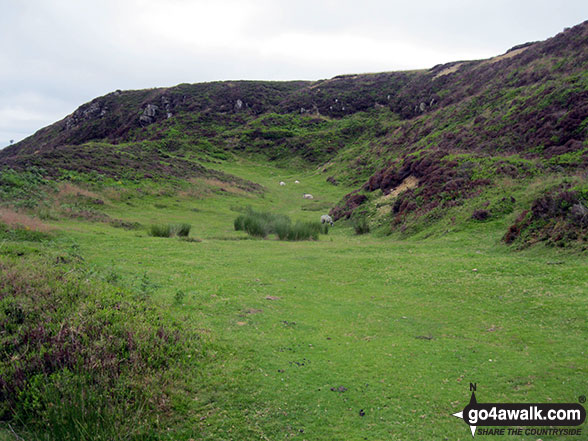
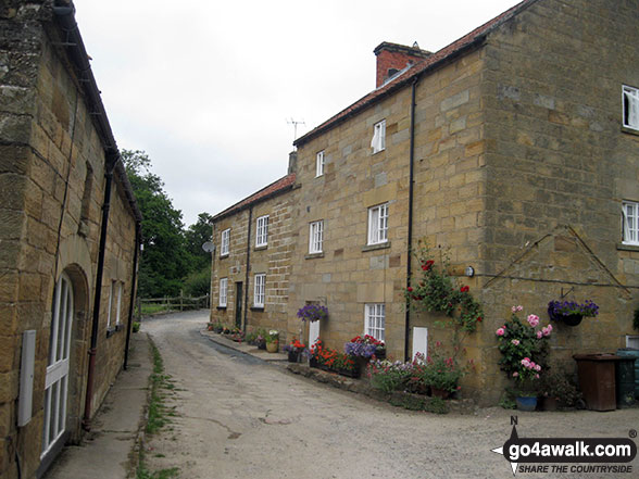
Some Photos and Pictures from Walk ny201 Rudland Rigg and Farndale Nature Reserve from Low Mill
In no particular order . . .

Send us your photographs and pictures from your walks and hikes
We would love to see your photographs and pictures from walk ny201 Rudland Rigg and Farndale Nature Reserve from Low Mill. Send them in to us as email attachments (configured for any computer) along with your name and where the picture was taken to:
and we shall do our best to publish them.
(Guide Resolution = 300dpi. At least = 660 pixels (wide) x 440 pixels (high).)

You can also submit photos from walk ny201 Rudland Rigg and Farndale Nature Reserve from Low Mill via our Facebook Page.
NB. Please indicate where each photo was taken.


