   |
Vital Statistics:
| Length: | 5¼mls (8.5km) |
| Ascent: | 292ft (89m) |
| Time: | 2¼hrs |
| Grade: |  |
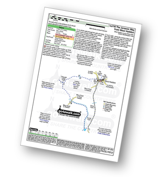
Route outline for walk no116:
West Haddon - Foxhill Farm - Silsworth Lodge Farm - The Jurassic Way - West Haddon
National Trails & Long Paths included on this walk:
Part of this walk follows a section of The Jurassic Way, a 142km (88 miles) linear footpath connecting Banbury in Oxfordshire, England with Stamford in Lincolnshire, England. The Jurassic Way is waymarked by an Ammonite logo. For more walks that include a section of this trail see The Jurassic Way.
Free-to-access Interactive Walk Planning Maps:
1:25,000 scale OS Explorer Map (orange/yellow covers):
An Interactive Walk Planning Map for OS Explorer 223 Northampton & Market Harborough is not currently available
1:50,000 scale OS Landranger Maps (pink/magenta covers):
An Interactive Walk Planning Map for OS Landranger 140 Leicester, Coventry & Rugby is not currently available
An Interactive Walk Planning Map for OS Landranger 152 Northampton & Milton Keynes, Buckingham & Daventry is not currently available
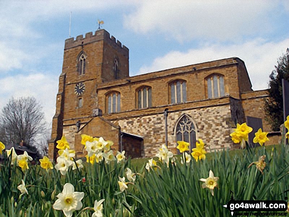
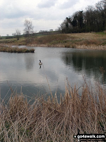
Some Photos and Pictures from Walk no116 The Jurassic Way from West Haddon
In no particular order . . .
Send us your photographs and pictures from your walks and hikes
We would love to see your photographs and pictures from walk no116 The Jurassic Way from West Haddon. Send them in to us as email attachments (configured for any computer) along with your name and where the picture was taken to:
and we shall do our best to publish them.
(Guide Resolution = 300dpi. At least = 660 pixels (wide) x 440 pixels (high).)

You can also submit photos from walk no116 The Jurassic Way from West Haddon via our Facebook Page.
NB. Please indicate where each photo was taken.


