   |
Vital Statistics:
| Length: | 12½mls (20km) |
| Ascent: | 347ft (106m) |
| Time: | 4¾hrs |
| Grade: |  |
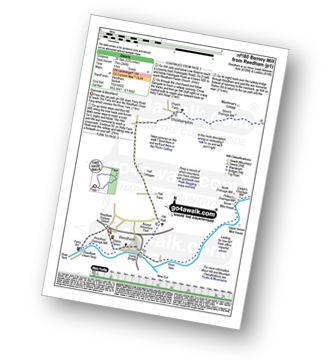
Route outline for walk nf160:
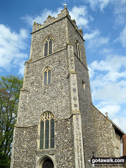
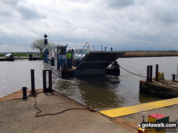
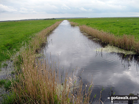
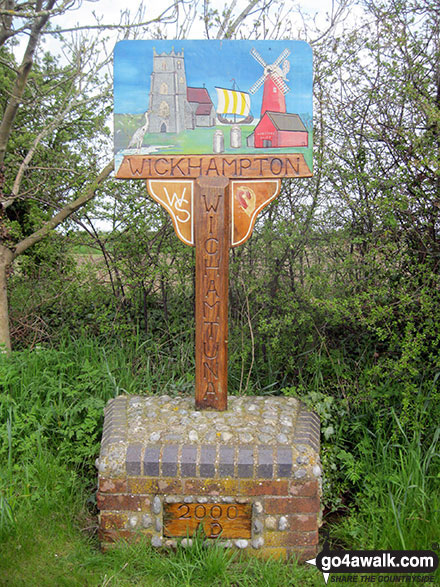
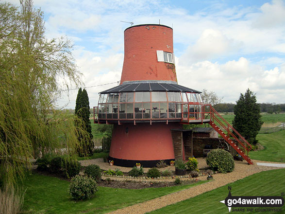
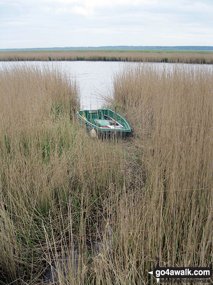
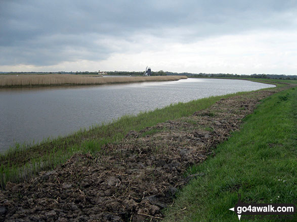
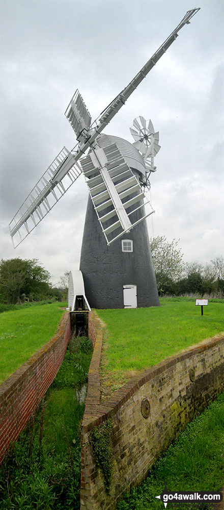
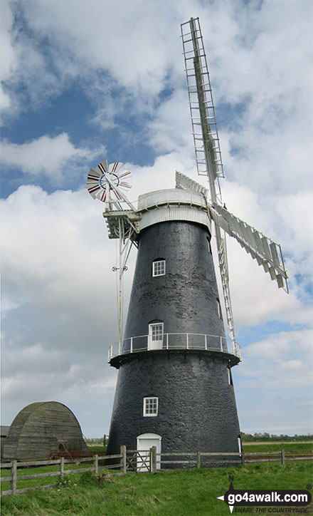
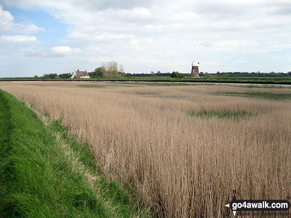
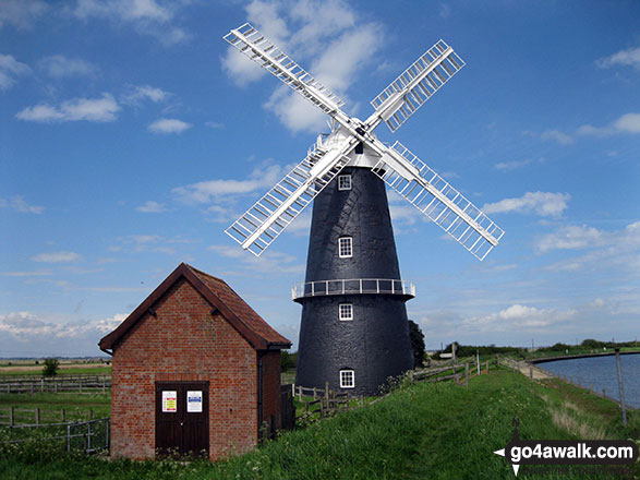
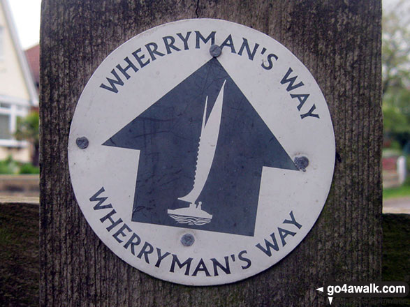
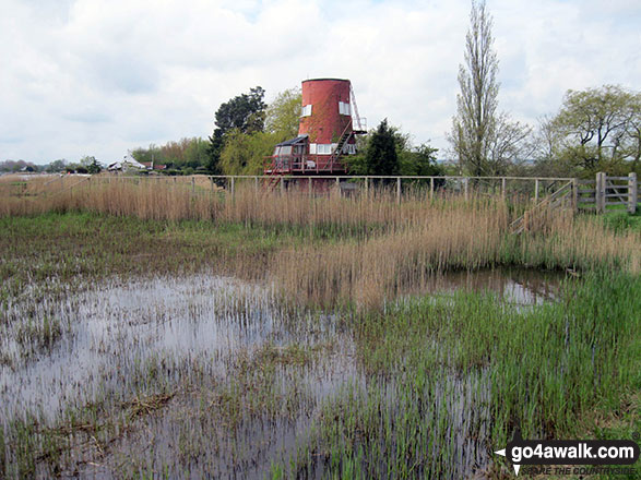
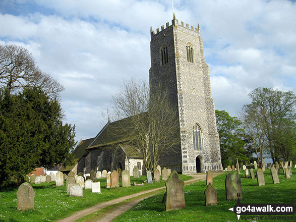
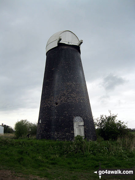
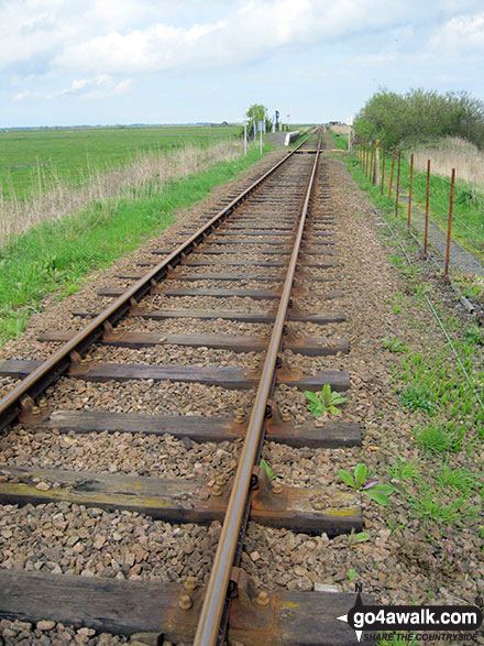
Reedham - Reedham Chain Ferry - Wherryman's Way - Reedham Drainage Mill - River Yare - Reedham Marshes - Seven Mile House - Polkey's Drainage Mill - Cadge's Drainage Mill - Berney Arms Reach - Berney Arms Mill - The Weavers Way - Berney Marshes - Berney Arms Railway Station - Stone's Drainage Mill - Wickhampton Marshes - Wickhampton - Halvergate Road - Reedham Parish Church - Damgate - Holly Farm Road - Reedham
Points of Interest/Notes on this walk:
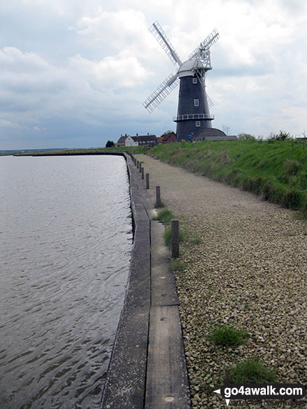
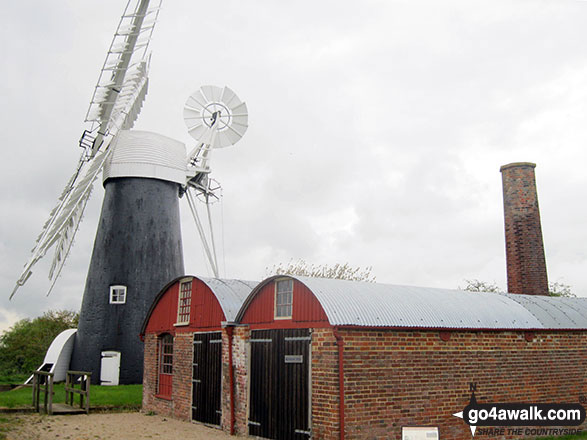
Berney Arms Mill was built in 1865, and many consider it to be the finest of the Norfolk Broadland drainage wind-pumps.
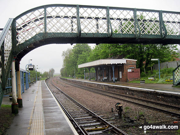
Berney Arms Railway Station is reputedly to be the smallest station in England.
National Trails & Long Paths included on this walk:
Part of this walk follows a section of The Weavers Way, a 90km (56 miles) linear footpath connecting Cromer in Norfolk, England with Great Yarmouth in Norfolk, England. The Weavers Way is waymarked by named posts. For more walks that include a section of this trail see The Weavers Way.
You can find this walk and other nearby walks on these unique free-to-access Interactive Walk Planning Maps:
1:25,000 scale OS Explorer Map (orange/yellow covers):
1:50,000 scale OS Landranger Map (pink/magenta covers):
Some Photos and Pictures from Walk nf160 Berney Mill from Reedham
In no particular order . . .
. . . load all 36 walk photos from Walk nf160 Berney Mill from Reedham
Send us your photographs and pictures from your walks and hikes
We would love to see your photographs and pictures from walk nf160 Berney Mill from Reedham. Send them in to us as email attachments (configured for any computer) along with your name and where the picture was taken to:
and we shall do our best to publish them.
(Guide Resolution = 300dpi. At least = 660 pixels (wide) x 440 pixels (high).)

You can also submit photos from walk nf160 Berney Mill from Reedham via our Facebook Page.
NB. Please indicate where each photo was taken.


