   |
Vital Statistics:
| Length: | 17½mls (28km) |
| Ascent: | 2,186ft (666m) |
| Time: | 8½hrs |
| Grade: |  |
Route outline for walk l101:
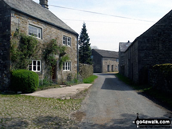
Abbeystead - Stoops Bridge - Tarnbrook Wyre - Lee - Tarnbrook - Higher Syke - Black Side of Tarnbrook Fell - Gables Clough - Tarnbrook Fell - Brown Syke - Wolfhole Crag - Mallowdale Pike (Mallowdale Fell) - Ward's Stone (Mallowdale Fell) - Ward's Stone Breast - Cabin Flat - Lee Fell - Burrow Fell - Grit Fell - Clougha Pike - Shooters Pile - Appletree Moss - Hare Appletree Fell - Jubilee Tower - Lainsley Slack - Abbeystead
Peaks, Summits and Tops reached on this walk:
 0 English Mountains |
 0 Wainwrights |
 0 English Nuttalls |
 2 English Deweys |
 0 Wainwright Outlying Fells |
 1 Marilyn |
 2 Bridgets |
Peak Bagging Statistics for this walk:
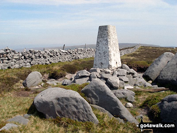
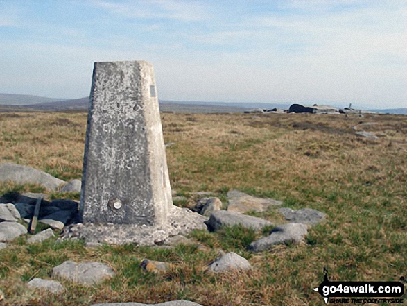
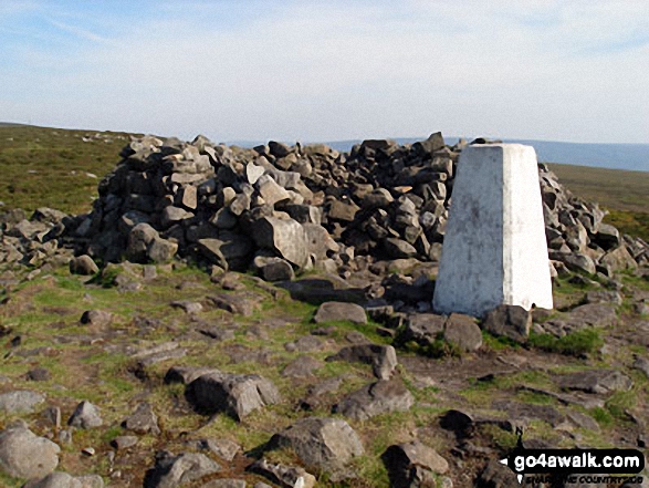
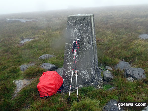
The highest point of this walk is Mallowdale Pike (Mallowdale Fell) at 561m (1841ft). Mallowdale Pike (Mallowdale Fell) is also known as an English Dewey (52nd highest in England, 120th in England & Wales) and an English Marilyn (58th highest in England, 845th highest in the UK). The summit of Mallowdale Pike (Mallowdale Fell) is marked by an Ordnance Survey Trig Point.
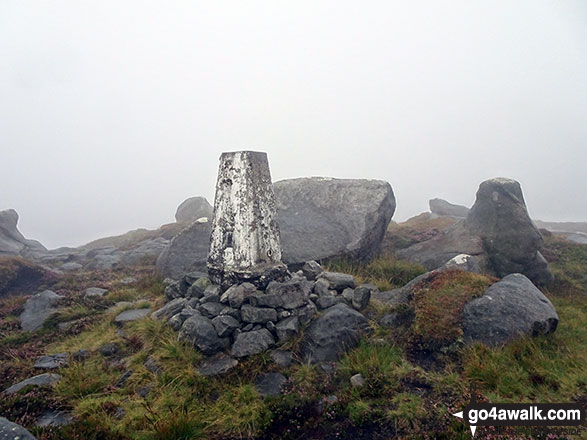
Completing this walk will also take you to the top of Ward's Stone (Mallowdale Fell) at 560m (1837ft). Ward's Stone (Mallowdale Fell) is known as an English Bridget. The summit of Ward's Stone (Mallowdale Fell) is marked by an Ordnance Survey Trig Point.
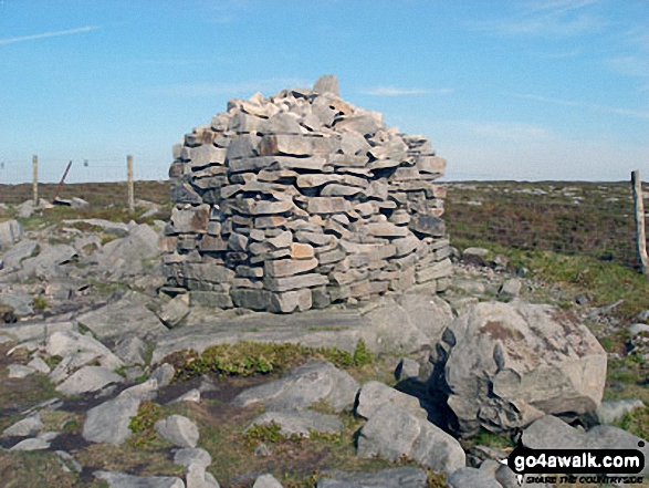
You will also reach the summit of Wolfhole Crag at 528m (1733ft). Wolfhole Crag is also known as an English Dewey (115th highest in England, 270th in England & Wales) The summit of Wolfhole Crag is marked by an Ordnance Survey Trig Point.
Along the way you will also bag:
- Clougha Pike at 413m (1355ft). Clougha Pike is known as an English Bridget. The summit of Clougha Pike is marked by an Ordnance Survey Trig Point.
You can find more walks near this one on these unique free-to-access Interactive Walk Planning Maps: (click/TAP to select)
1:25,000 scale OS Explorer Map (the ones with orange/yellow covers):
1:50,000 scale OS Landranger Maps (the ones with pink/magenta covers):
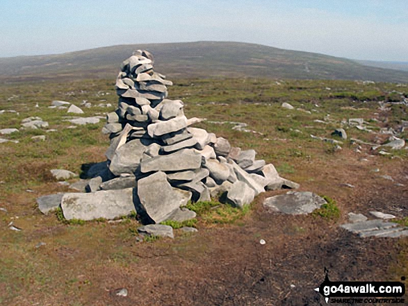
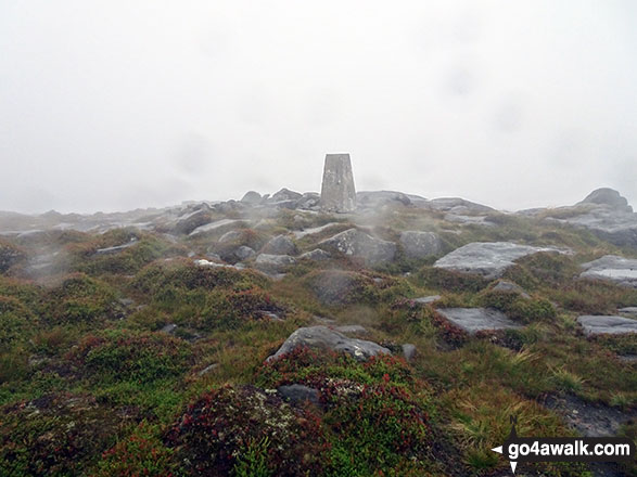
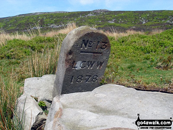
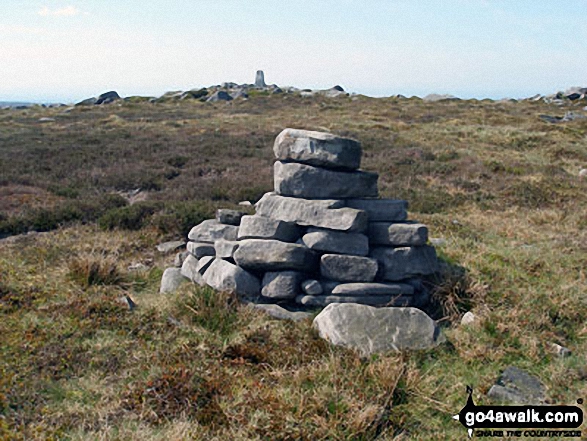
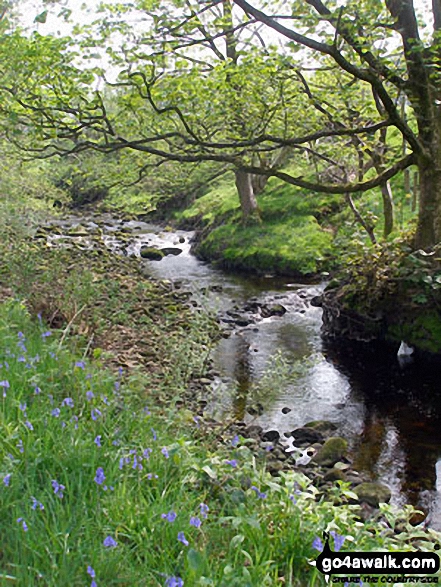
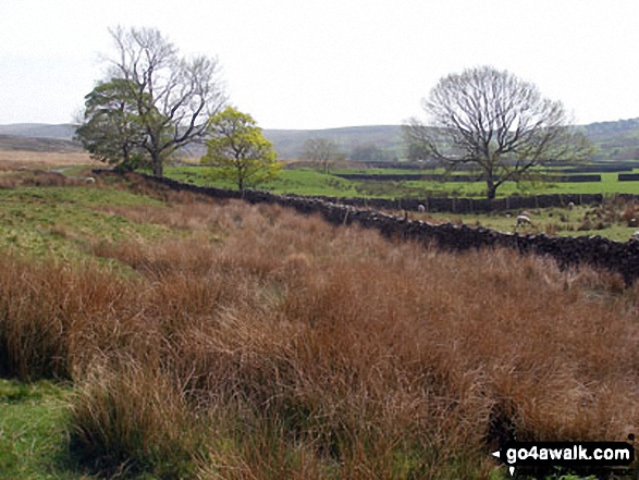
Some Photos and Pictures from Walk l101 Wolfhole Crag, Mallowdale Pike and Clougha Pike from Abbeystead
In no particular order . . .
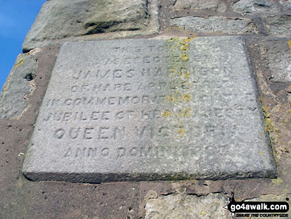
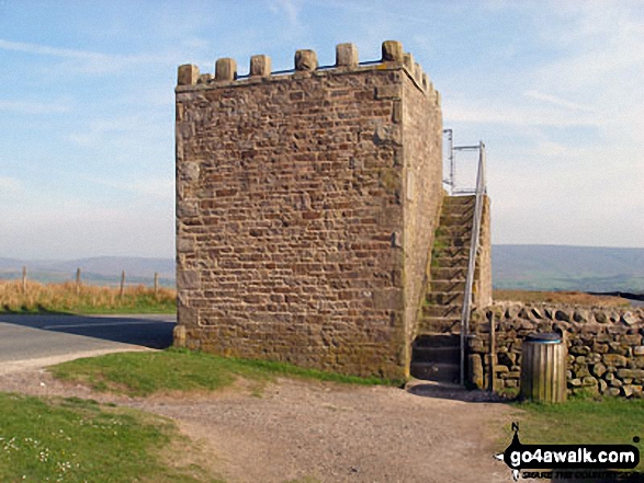
Stone plaque celebrating the Jubilee of Queen Victoria, Jubilee Tower on Abbeystead Fell
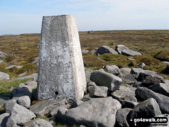
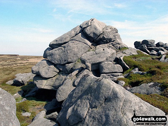
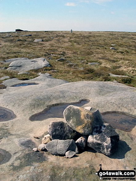
Grey Mare and Foal (rock formations) from Mallowdale Pike (Mallowdale Fell) Trig Point
Send us your photographs and pictures from your walks and hikes
We would love to see your photographs and pictures from walk l101 Wolfhole Crag, Mallowdale Pike and Clougha Pike from Abbeystead. Send them in to us as email attachments (configured for any computer) along with your name and where the picture was taken to:
and we shall do our best to publish them.
(Guide Resolution = 300dpi. At least = 660 pixels (wide) x 440 pixels (high).)

You can also submit photos from walk l101 Wolfhole Crag, Mallowdale Pike and Clougha Pike from Abbeystead via our Facebook Page.
NB. Please indicate where each photo was taken.
To contribute to go4awalk.com or to contact us about anything at all - see Talk To Us. For help see Help.
go4awalk.com and go4awalk.co.uk are registered trademarks of TMDH Limited.
Copyright © 2000-2025 TMDH Limited. All rights reserved.
Copyright Terms & Conditions Privacy Statement
A - Z Walks Home Log On/Accounts Photo Gallery Walk Ideas and Collections Fell Facts Hill Skills Walking Questions and Answers Your Stories News Competitions Product Reviews/Gear Tests Walking Gear Guides Peaks and Mountains Peak Bagging Find New Walking Friends Camping GPS Waypoints for Walking Contents Walk Search Talk To Us go4awalk.com Help Free Example Walks Newsletter


