   |
Vital Statistics:
| Length: | 5½mls (8.5km) |
| Ascent: | 1,493ft (455m) |
| Time: | 3½hrs |
| Grade: |  |
Route outline for walk de106:
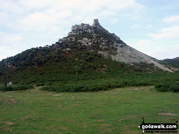
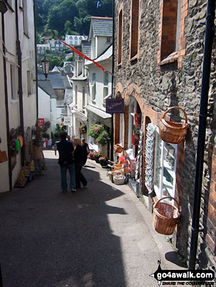
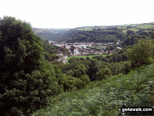
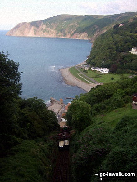
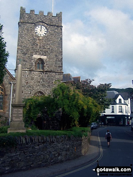
Lynton - The Danes Or Valley Of Rocks - Six Acre Wood - The South West Coast Path - Lee Bay - Lee Abbey - Castle Rock - Rugged Jack - Wringcliff Bay - Ruddy Ball - Lynmouth - Lynton
National Trails & Long Paths included on this walk:
Part of this walk follows a section of The South West Coast Path, a 966km (600 miles) linear footpath connecting Minehead in Somerset, England with South Haven Point in Dorset, England. The South West Coast Path is waymarked by a National Trail Acorn. For more walks that include a section of this trail see The South West Coast Path.
Free-to-access Interactive Walk Planning Maps:
1:25,000 scale OS Explorer Map (orange/yellow covers):
1:50,000 scale OS Landranger Map (pink/magenta covers):
An Interactive Walk Planning Map for OS Landranger 180 Barnstaple & Ilfracombe, Lynton & Bideford is not currently available
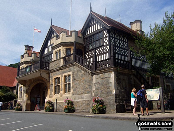
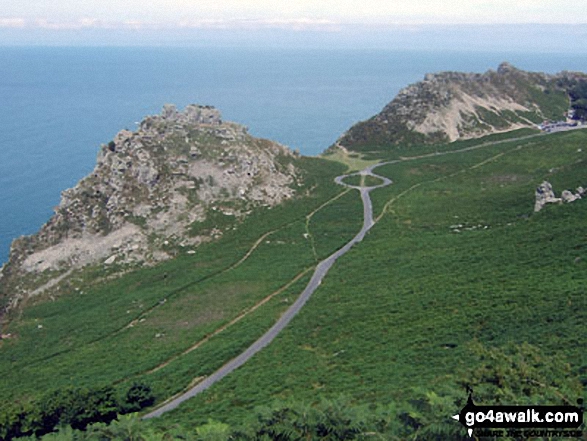
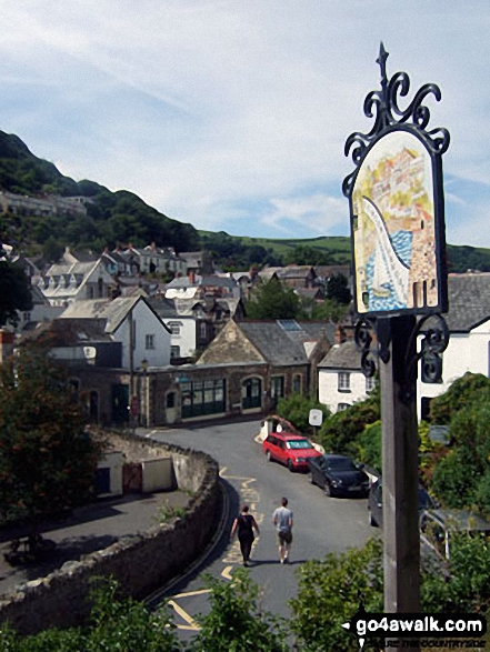
Some Photos and Pictures from Walk de106 The Valley of Rocks from Lynton
In no particular order . . .
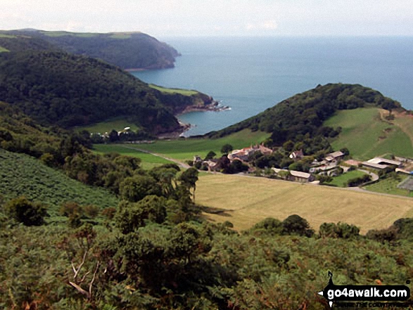
Woody Bay, Crock Point and Lee Bay from The Danes or Valley of Rocks near Lynton
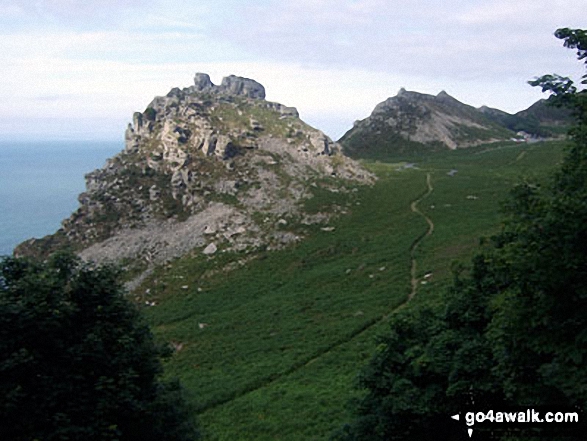
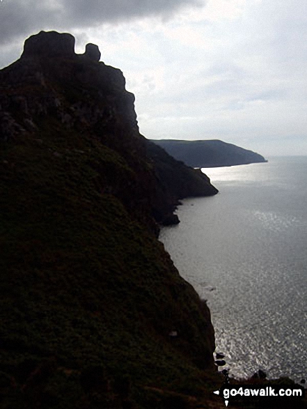
The Valley of Rocks taken from the top of Hollerday Hill with an 800ft sheer drop down into the Bristol Channel
Send us your photographs and pictures from your walks and hikes
We would love to see your photographs and pictures from walk de106 The Valley of Rocks from Lynton. Send them in to us as email attachments (configured for any computer) along with your name and where the picture was taken to:
and we shall do our best to publish them.
(Guide Resolution = 300dpi. At least = 660 pixels (wide) x 440 pixels (high).)

You can also submit photos from walk de106 The Valley of Rocks from Lynton via our Facebook Page.
NB. Please indicate where each photo was taken.


