   |
Vital Statistics:
| Length: | 6¼mls (10km) |
| Ascent: | 1,103ft (336m) |
| Time: | 3½hrs |
| Grade: |  |
Route outline for walk d248:
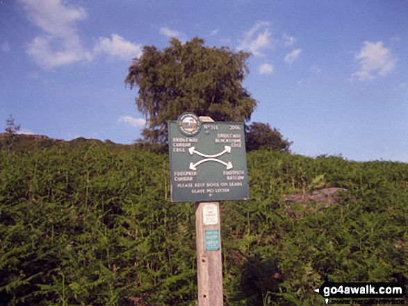
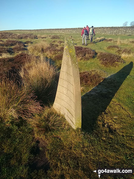
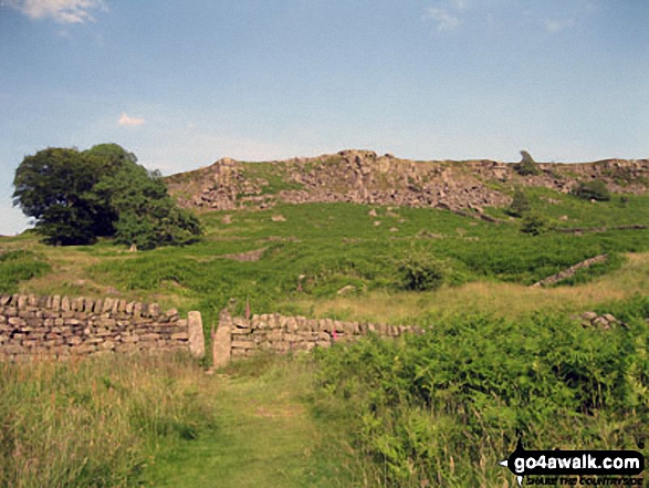
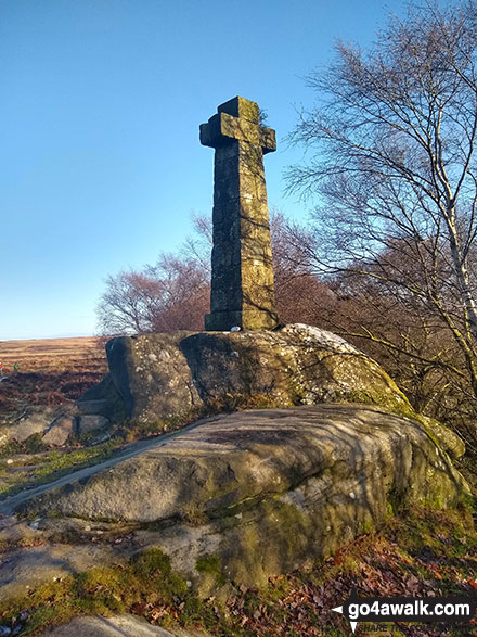
Birchen Edge Car Park - Jumble Coppice - Three Men - Cupola Cottage - Jack Flat - Wellington's Monument - Curbar Gap - Baslow Edge - Eagle Stone - Eaglestone Flat - Birchen Edge - Nelson's Monument (Birchen Edge) - Three Ships - Birchen Edge Car Park
Peaks, Summits and Tops reached on this walk:
 0 English Mountains |
 0 Wainwrights |
 0 English Nuttalls |
 0 English Deweys |
 0 Wainwright Outlying Fells |
 0 Marilyns |
 1 Bridget |
Peak Bagging Statistics for this walk:
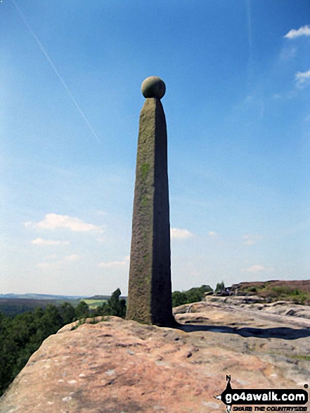
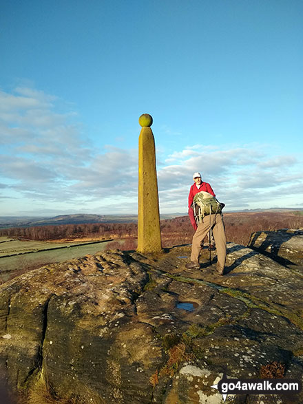
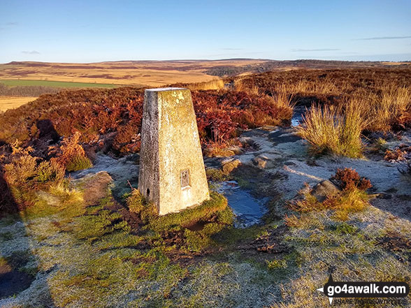
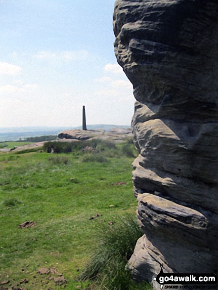
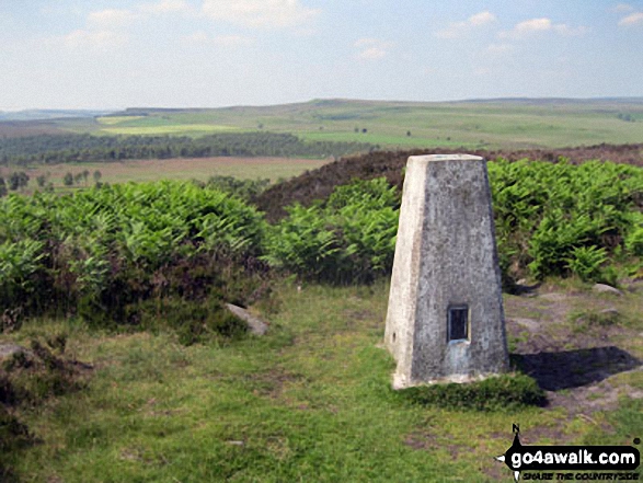
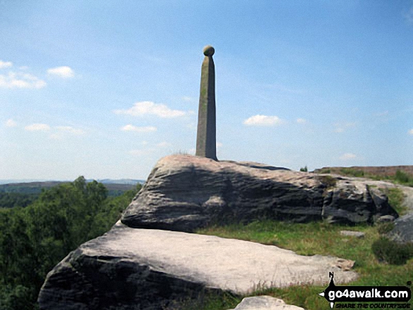
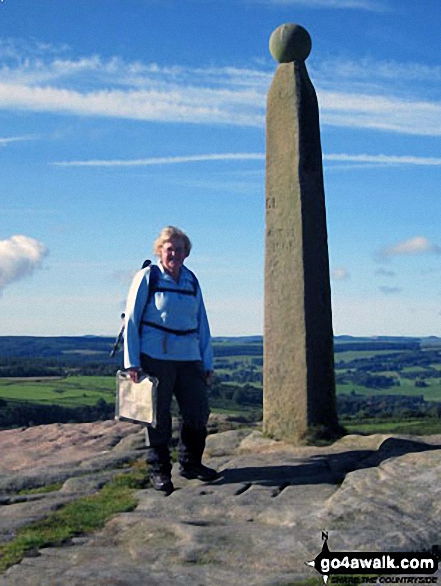
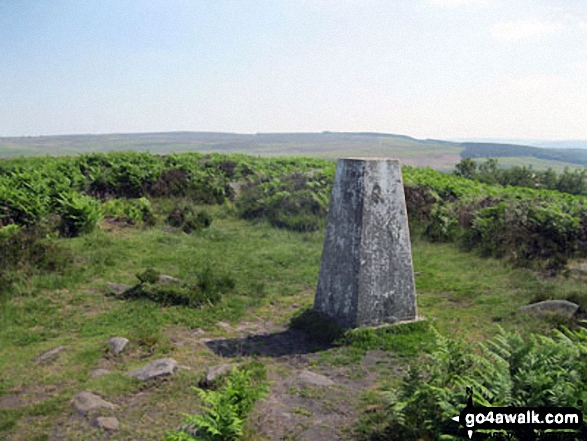
Completing this walk will also take you to the top of Nelson's Monument (Birchen Edge) at 302m (991ft). Nelson's Monument (Birchen Edge) is known as an English Bridget. The summit of Nelson's Monument (Birchen Edge) is marked by an Ordnance Survey Trig Point.
You can find more walks near this one on these unique free-to-access Interactive Walk Planning Maps: (click/TAP to select)
1:25,000 scale OS Explorer Map (the ones with orange/yellow covers):
1:50,000 scale OS Landranger Map (the ones with pink/magenta covers):
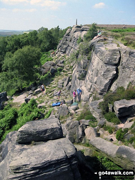
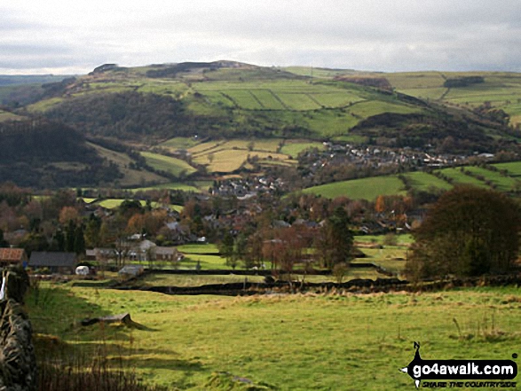
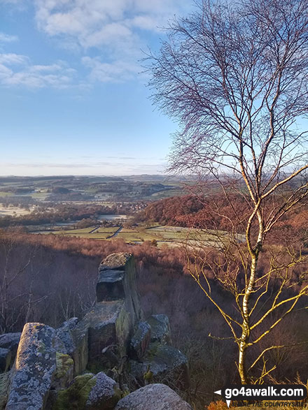
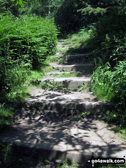
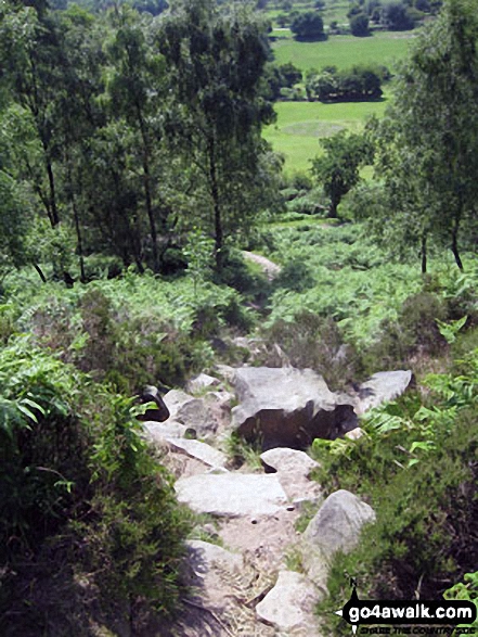
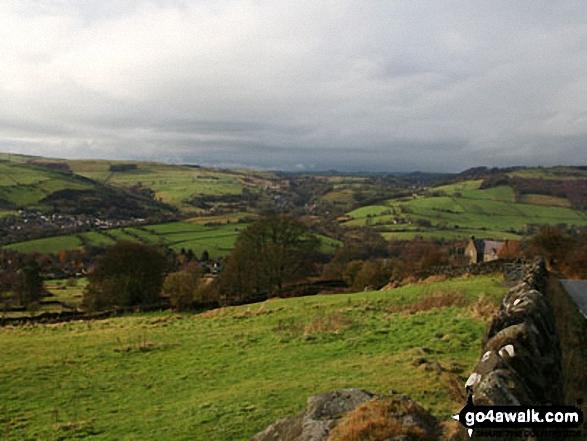
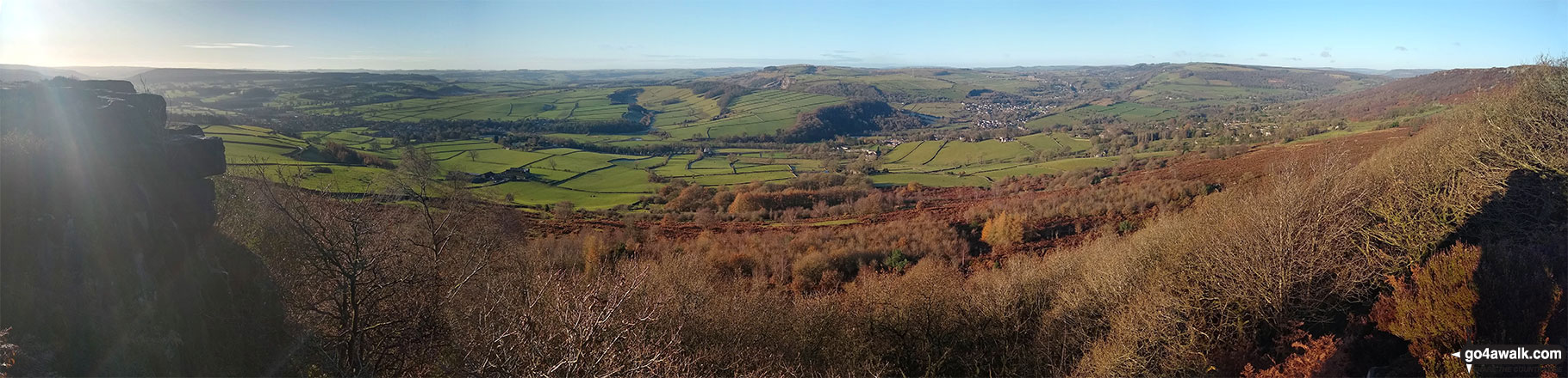
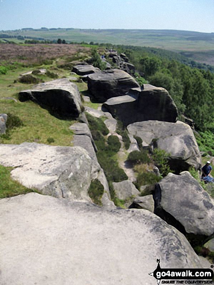
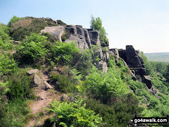
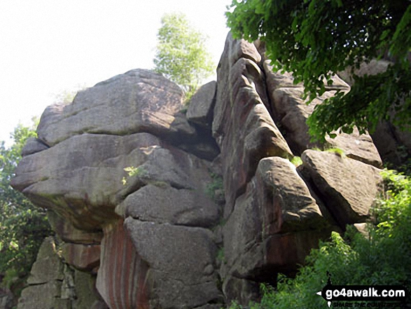
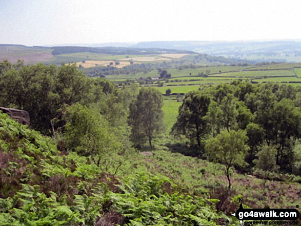
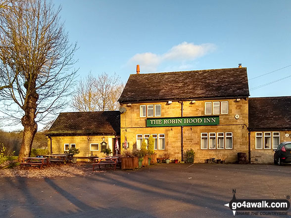
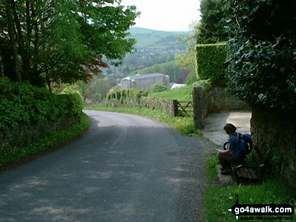
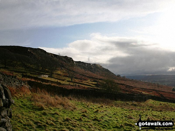
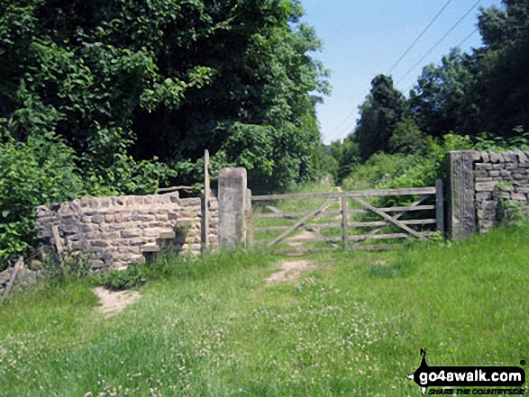
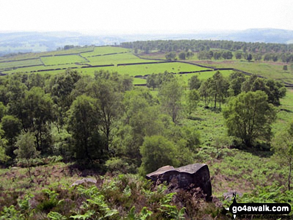
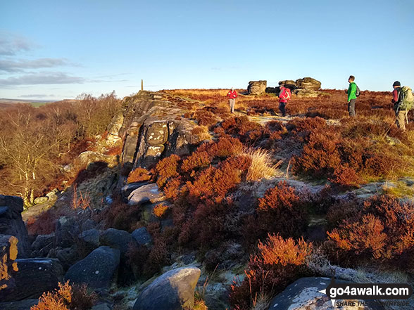
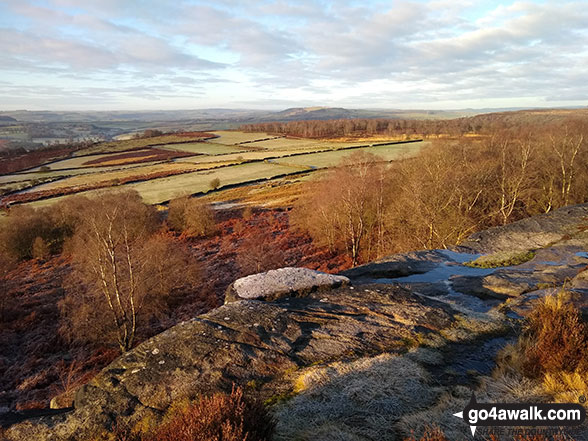
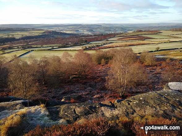
Some Photos and Pictures from Walk d248 Baslow Edge and Birchen Edge from The Robin Hood (Baslow)
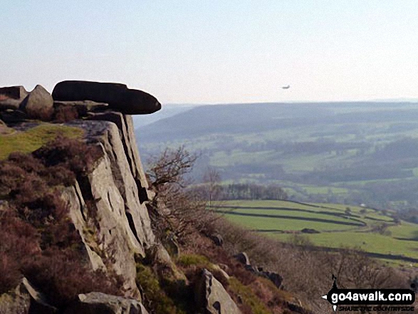
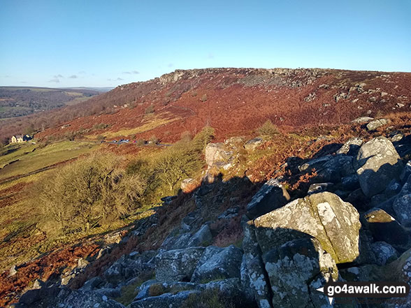
In no particular order . . .
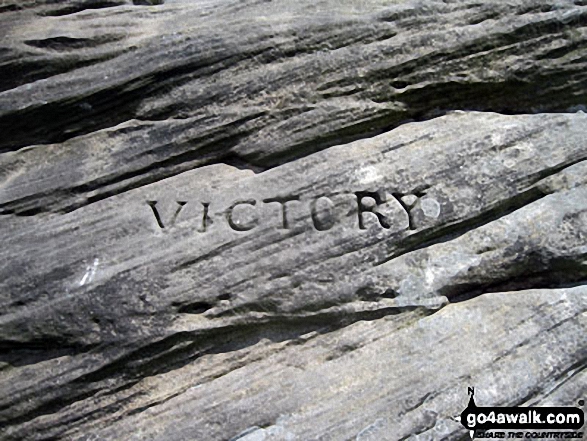
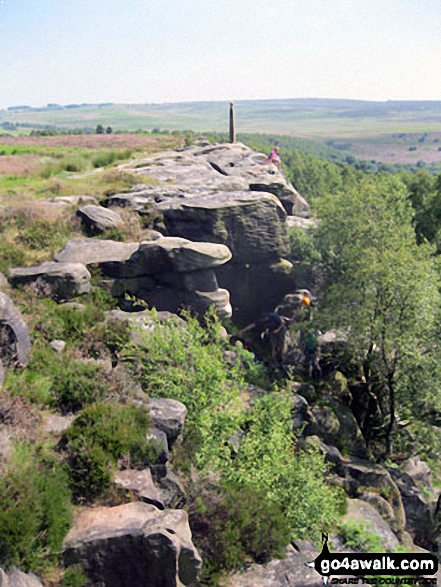
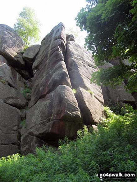
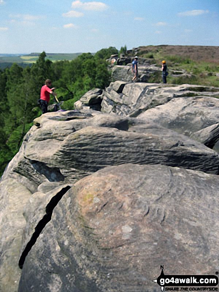
Victory - the first of three huge boulders that form The Three Ships on Birchen Edge
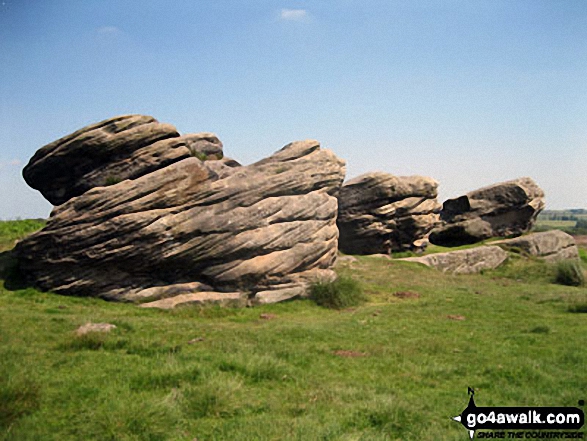
Victory (left), Defiance and Royal Soverin (right) - the three large boulders that form The Three Ships on Birchen Edge
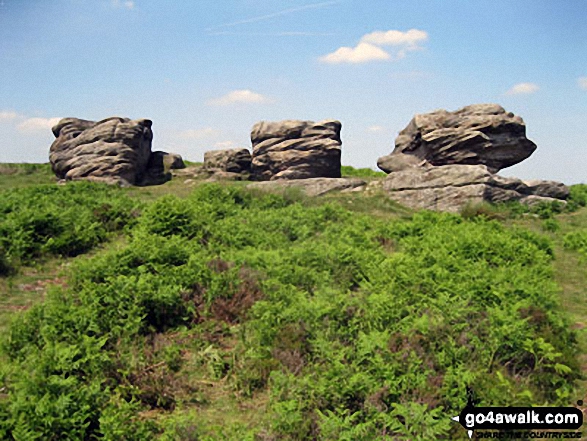
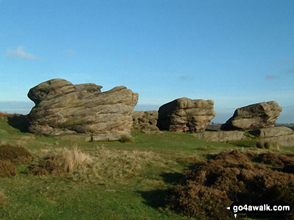

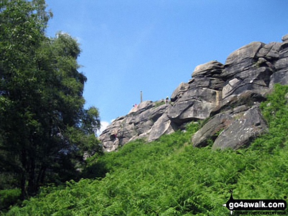
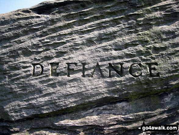
Defiance - the middle of three huge boulders that form The Three Ships on Birchen Edge
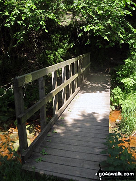
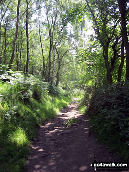
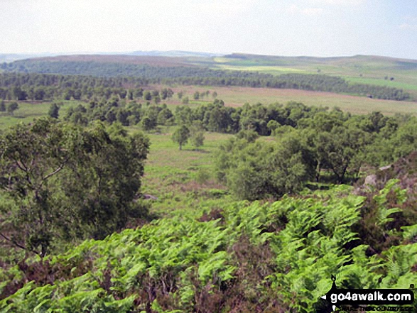
Footbridge across Heathy Lea Brook in Jumble Coppice - near The Robin Hood
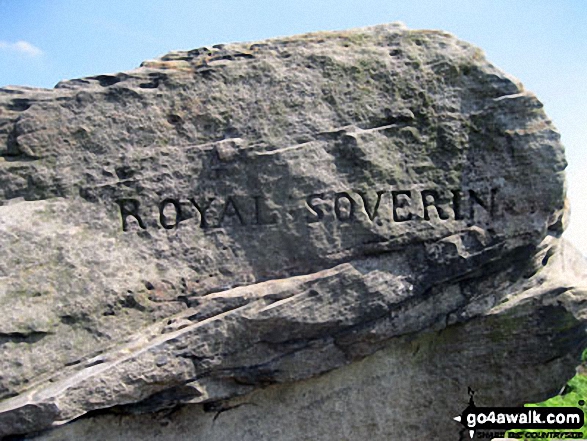
Royal Soverin - the third of three huge boulders that form The Three Ships on Birchen Edge
Send us your photographs and pictures from your walks and hikes
We would love to see your photographs and pictures from walk d248 Baslow Edge and Birchen Edge from The Robin Hood (Baslow). Send them in to us as email attachments (configured for any computer) along with your name and where the picture was taken to:
and we shall do our best to publish them.
(Guide Resolution = 300dpi. At least = 660 pixels (wide) x 440 pixels (high).)

You can also submit photos from walk d248 Baslow Edge and Birchen Edge from The Robin Hood (Baslow) via our Facebook Page.
NB. Please indicate where each photo was taken.
To contribute to go4awalk.com or to contact us about anything at all - see Talk To Us. For help see Help.
go4awalk.com and go4awalk.co.uk are registered trademarks of TMDH Limited.
Copyright © 2000-2025 TMDH Limited. All rights reserved.
Copyright Terms & Conditions Privacy Statement
A - Z Walks Home Log On/Accounts Photo Gallery Walk Ideas and Collections Fell Facts Hill Skills Walking Questions and Answers Your Stories News Competitions Product Reviews/Gear Tests Walking Gear Guides Peaks and Mountains Peak Bagging Find New Walking Friends Camping GPS Waypoints for Walking Contents Walk Search Talk To Us go4awalk.com Help Free Example Walks Newsletter


