   |
Vital Statistics:
| Length: | 4¾mls (7.5km) |
| Ascent: | 843ft (257m) |
| Time: | 2¾hrs |
| Grade: |  |

Route outline for walk d210:
Hayfield - Sett Valley Trail Car Park - Valley Road - Bowden Bridge Car Park - Kinder Road - Kinder Reservoir - White Brow - Middle Moor (Hayfield) - Snake Path - Sett Valley Trail Car Park - Hayfield
You can find this walk and other nearby walks on these unique free-to-access Interactive Walk Planning Maps:
1:25,000 scale OS Explorer Map (orange/yellow covers):
1:50,000 scale OS Landranger Map (pink/magenta covers):
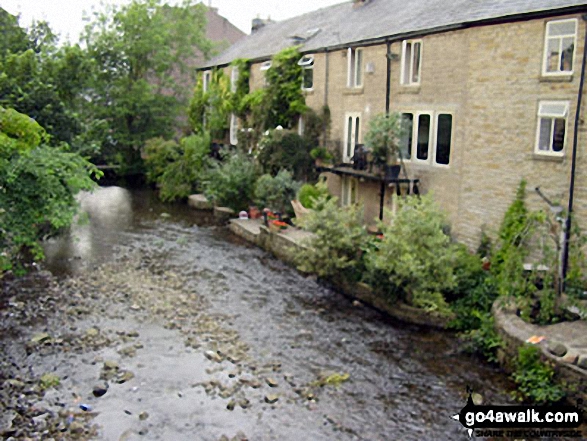
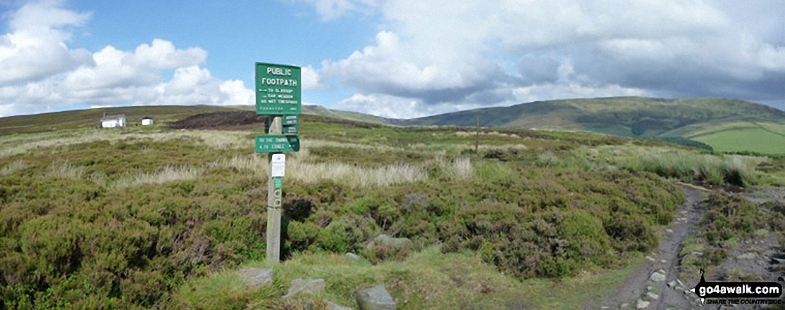
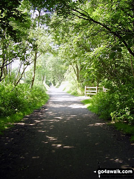
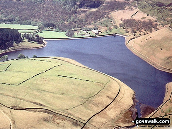
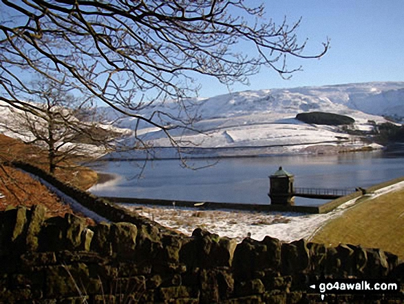
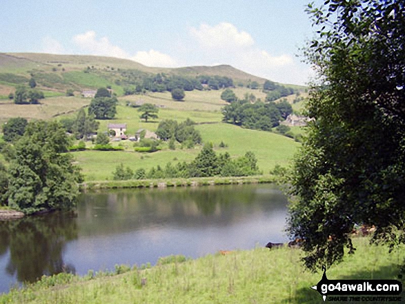
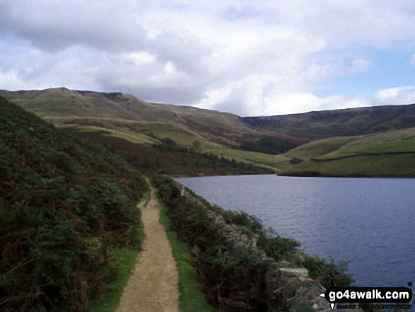
Some Photos and Pictures from Walk d210 White Brow and Kinder Reservoir from Hayfield
In no particular order . . .


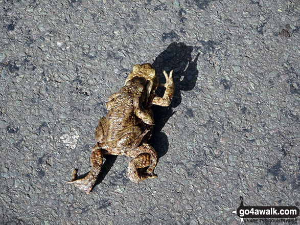


'Caution: Toads Crossing' sign on the road near Bowden Bridge, Hayfield

The River Sett under a blanket of Water Lilies beside The Sett Valley Trail near Hayfield
. . . load all 21 walk photos from Walk d210 White Brow and Kinder Reservoir from Hayfield
Send us your photographs and pictures from your walks and hikes
We would love to see your photographs and pictures from walk d210 White Brow and Kinder Reservoir from Hayfield. Send them in to us as email attachments (configured for any computer) along with your name and where the picture was taken to:
and we shall do our best to publish them.
(Guide Resolution = 300dpi. At least = 660 pixels (wide) x 440 pixels (high).)

You can also submit photos from walk d210 White Brow and Kinder Reservoir from Hayfield via our Facebook Page.
NB. Please indicate where each photo was taken.


