   |
Vital Statistics:
| Length: | 6mls (9.5km) |
| Ascent: | 532ft (162m) |
| Time: | 2¾hrs |
| Grade: |  |
Route outline for walk d160:
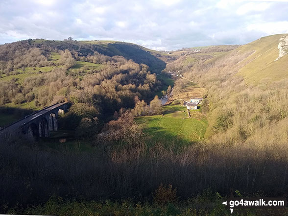
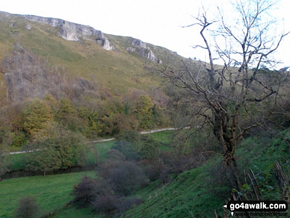
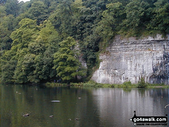
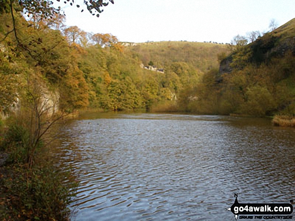
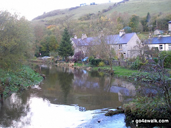
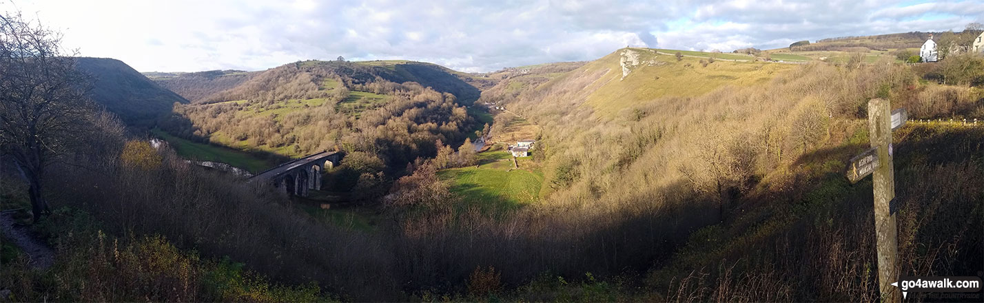
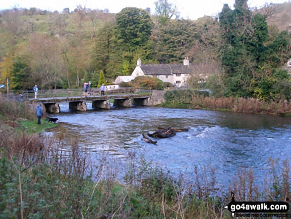
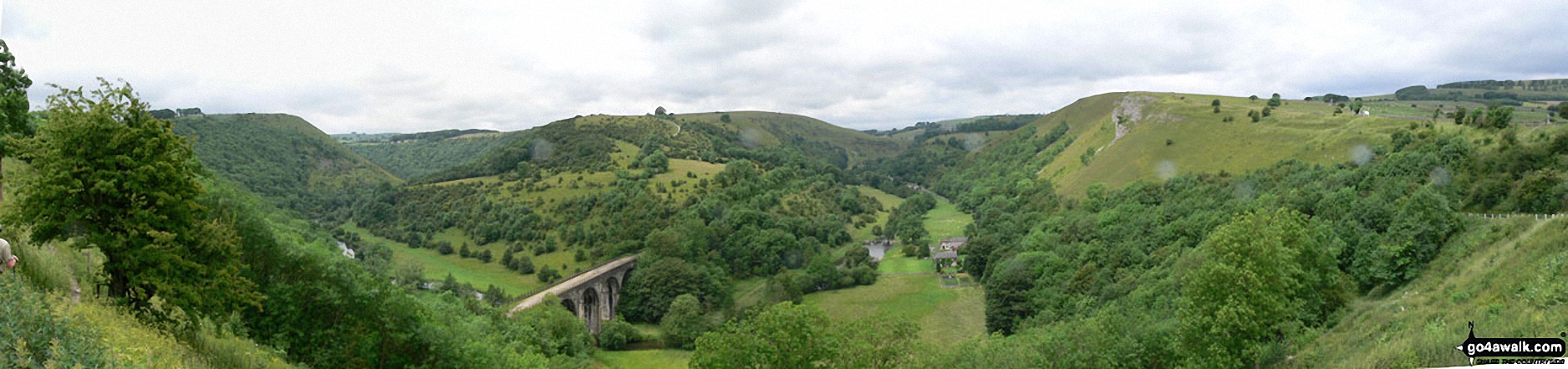
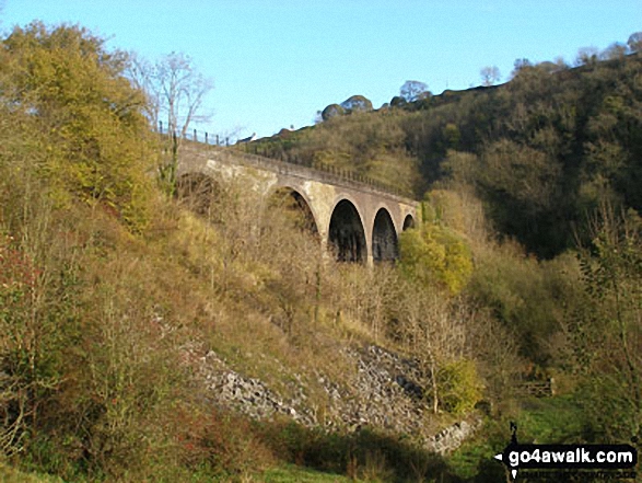
Monsal Head - Upperdale - The River Wye - Cressbrook Mill - The River Wye - Water-cum-Jolly Dale - Litton Mill - The Monsal Trail - Water-cum-Jolly Dale - Monsal Head Viaduct - Monsal Head
National Trails & Long Paths included on this walk:
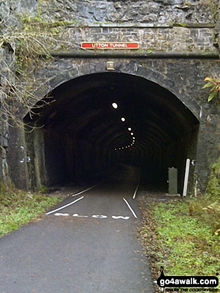
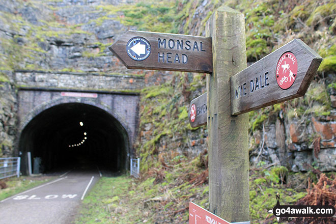
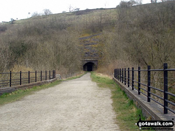
Part of this walk follows a section of The Monsal Trail, a 16km (10 miles) linear footpath connecting Blackwell Visitor Car Park, Wye Dale in Derbyshire, England with Coombs Road, Bakewell in Derbyshire, England. Originally part of a line connecting St Pancras with Manchester it was closed to rail traffic in 1968. The Monsal Trail is waymarked by name posts. For more walks that include a section of this trail see The Monsal Trail.
You can find this walk and other nearby walks on these unique free-to-access Interactive Walk Planning Maps:
1:25,000 scale OS Explorer Map (orange/yellow covers):
1:50,000 scale OS Landranger Map (pink/magenta covers):
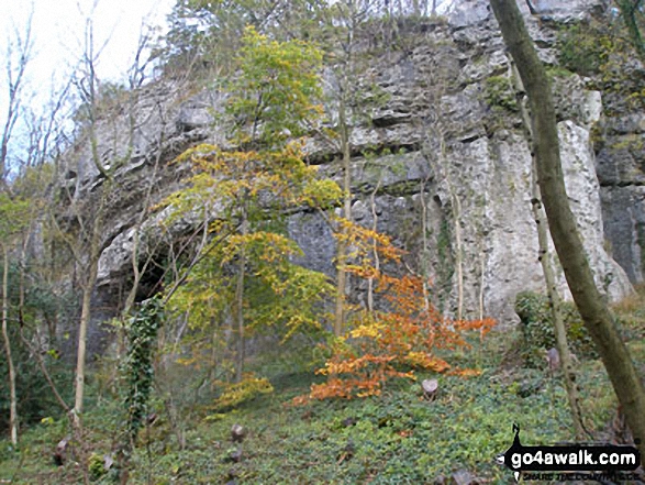
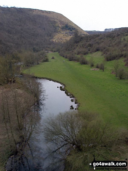
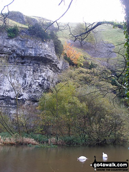
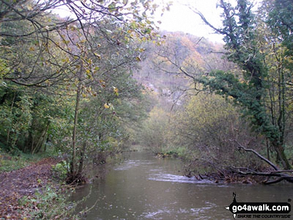
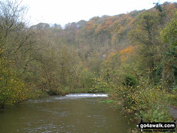
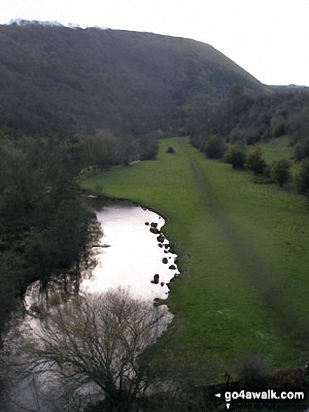
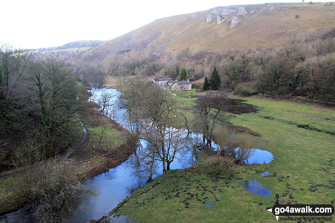
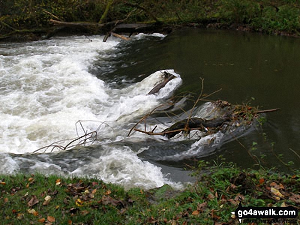
Some Photos and Pictures from Walk d160 Upperdale, Water-cum-Jolly Dale and The Monsal Trail from Monsal Head
In no particular order . . .
Send us your photographs and pictures from your walks and hikes
We would love to see your photographs and pictures from walk d160 Upperdale, Water-cum-Jolly Dale and The Monsal Trail from Monsal Head. Send them in to us as email attachments (configured for any computer) along with your name and where the picture was taken to:
and we shall do our best to publish them.
(Guide Resolution = 300dpi. At least = 660 pixels (wide) x 440 pixels (high).)

You can also submit photos from walk d160 Upperdale, Water-cum-Jolly Dale and The Monsal Trail from Monsal Head via our Facebook Page.
NB. Please indicate where each photo was taken.


