   |
Vital Statistics:
| Length: | 7¾mls (12.5km) |
| Ascent: | 1,532ft (467m) |
| Time: | 4½hrs |
| Grade: |  |
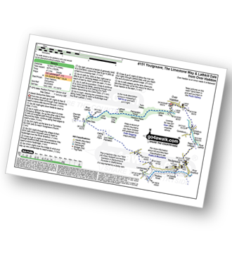
Route outline for walk d151:
Over Haddon - River Lathkill - Conksbury Bridge - Raper Lodge - Youlgreave - River Bradford - The Limestone Way - Bradford Dale - Lomber Dale - Lomberdale Hall - Moor Lane - Low Moor Plantation - Calling Low Farm - Cales Dale - Lathkill Dale - Low Wood - Calling Low Dale - Palmerston Wood - Meadow Place Wood - Twin Dale - Lathkill Lodge - Over Haddon
National Trails & Long Paths included on this walk:
Part of this walk follows a section of The Limestone Way, an 80km (50 miles) linear footpath connecting Castleton in Derbyshire, England with Rocester in Staffordshire, England. The Limestone Way is waymarked by a Derby ram. For more walks that include a section of this trail see The Limestone Way.
You can find this walk and other nearby walks on these unique free-to-access Interactive Walk Planning Maps:
1:25,000 scale OS Explorer Map (orange/yellow covers):
1:50,000 scale OS Landranger Map (pink/magenta covers):
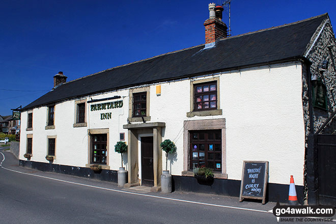
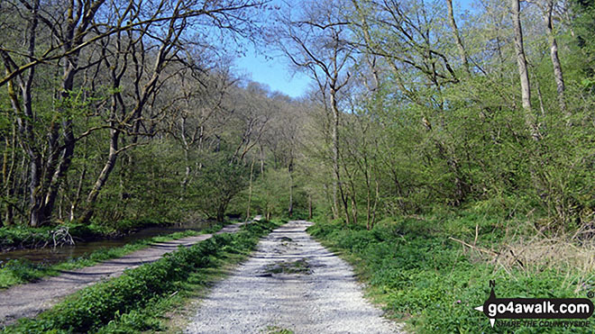
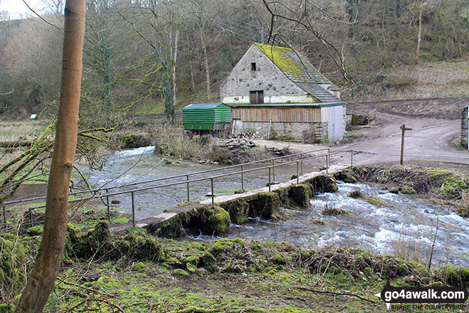
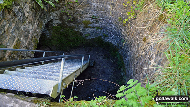
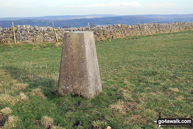
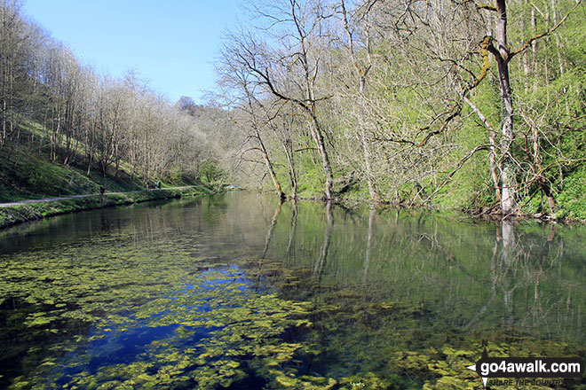
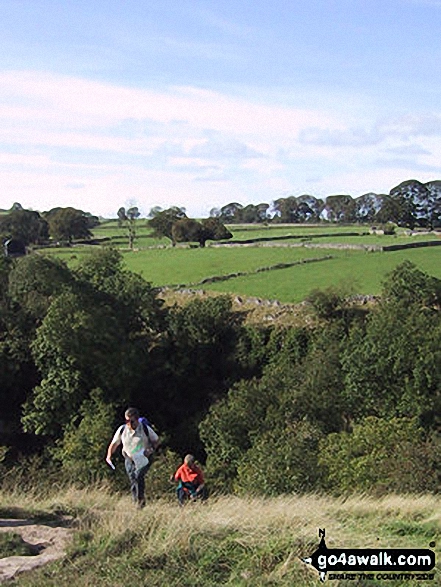
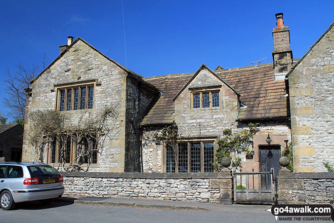
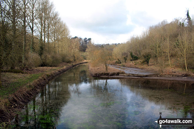
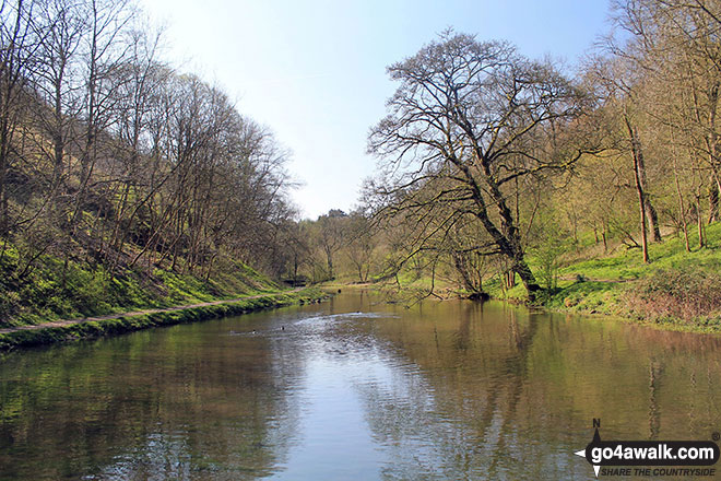
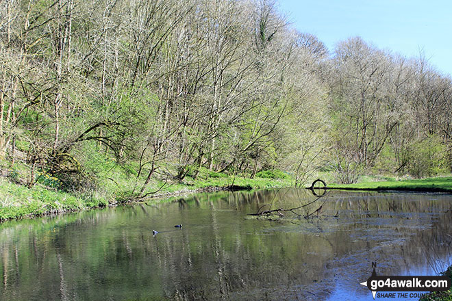
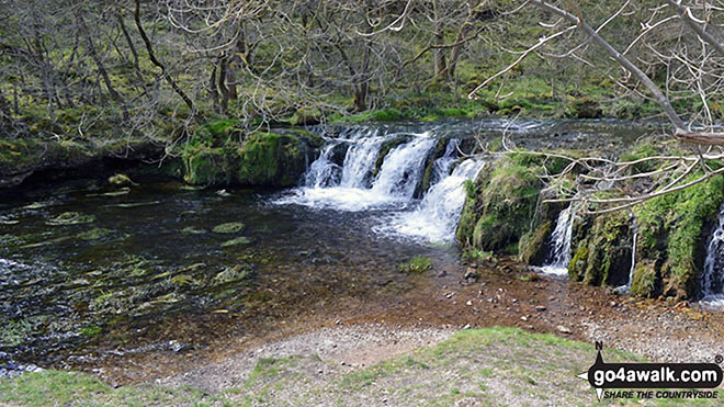
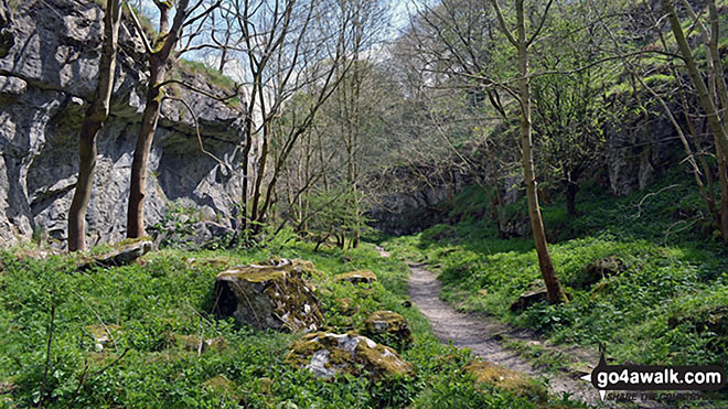
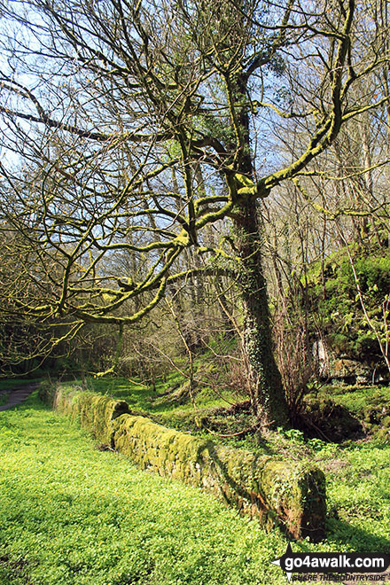
Some Photos and Pictures from Walk d151 Youlgreave, The Limestone Way and Lathkill Dale from Over Haddon
In no particular order . . .
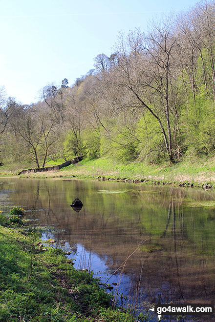
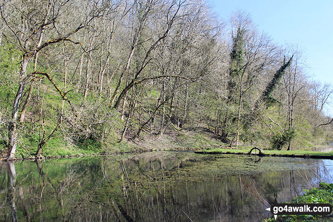
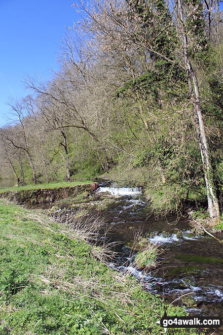
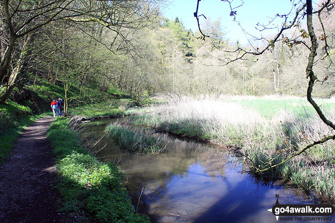
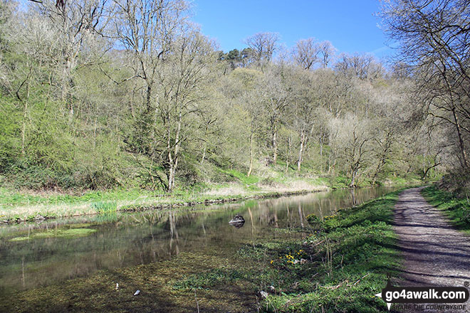
Path beside the River Bradford at the Middleton-by-Youlgreave end of Bradford Dale
Send us your photographs and pictures from your walks and hikes
We would love to see your photographs and pictures from walk d151 Youlgreave, The Limestone Way and Lathkill Dale from Over Haddon. Send them in to us as email attachments (configured for any computer) along with your name and where the picture was taken to:
and we shall do our best to publish them.
(Guide Resolution = 300dpi. At least = 660 pixels (wide) x 440 pixels (high).)

You can also submit photos from walk d151 Youlgreave, The Limestone Way and Lathkill Dale from Over Haddon via our Facebook Page.
NB. Please indicate where each photo was taken.


