Walk d129 The High Peak Trail and The Limestone Way from Monyash

Beautiful Derbyshire


Route outline for walk d129:

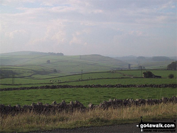
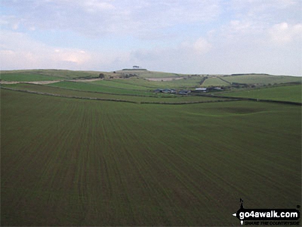
Monyash  -  Moscar Farm  -  The High Peak Trail  -  Parsley Hay  -  Hardlow  -  Sparklow  -  Bull I' Th' Thorn Inn  -  Newton Farm  -  Hutmoor Butts  -  The Limestone Way  -  Dalehouse Farm  -  Monyash


National Trails & Long Paths included on this walk:

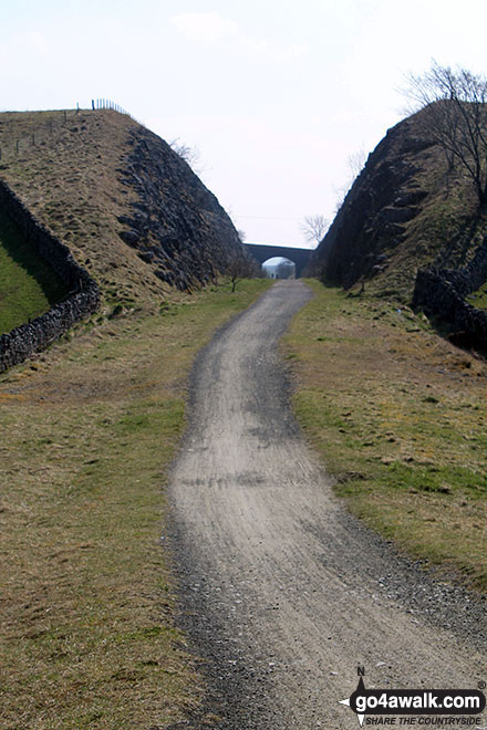
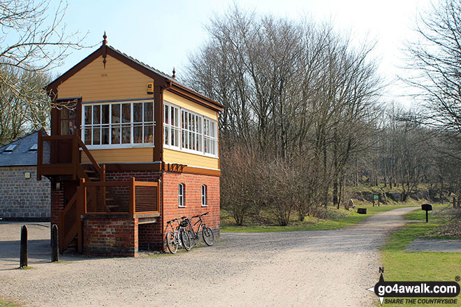
Part of this walk follows a section of The High Peak Trail, a 29km (18 miles) linear footpath connecting Dowlow in Derbyshire, England with Cromford in Derbyshire, England. It follows a lengthy section of the Cromford and High Peak Railway which linked the High Peak & Cromford Canals. Started in 1825, the line was finally closed in 1963. The High Peak Trail is waymarked by named posts. For more walks that include a section of this trail see The High Peak Trail.


Part of this walk also follows a section of The Limestone Way, an 80km (50 miles) linear footpath connecting Castleton in Derbyshire, England with Rocester in Staffordshire, England. The Limestone Way is waymarked by a Derby ram. For more walks that include a section of this trail see The Limestone Way.


You can find more walks near this one on these unique free-to-access Interactive Walk Planning Maps: (click/TAP to select)

The Peak District National Park


1:25,000 scale OS Explorer Map (the ones with orange/yellow covers):

OL24 The Peak District - White Peak area


1:50,000 scale OS Landranger Map (the ones with pink/magenta covers):

119 Buxton & Matlock, Bakewell & Dove Dale


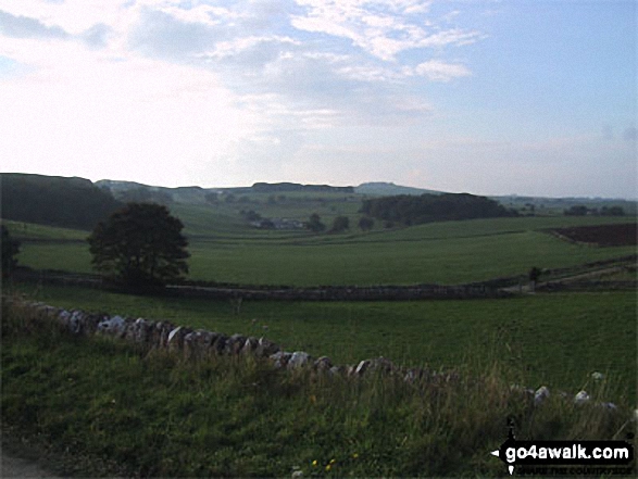
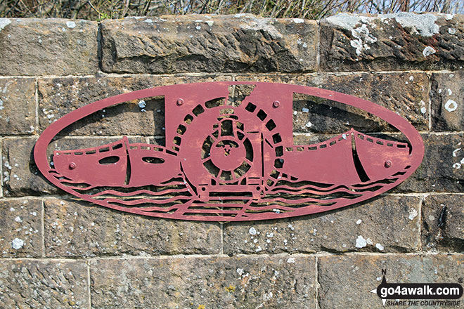
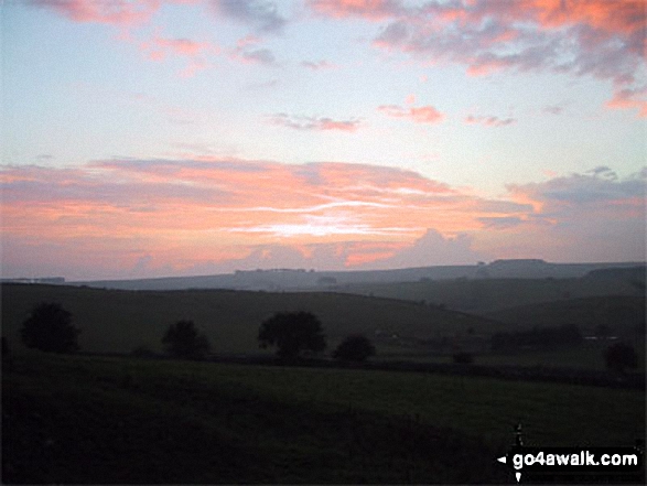
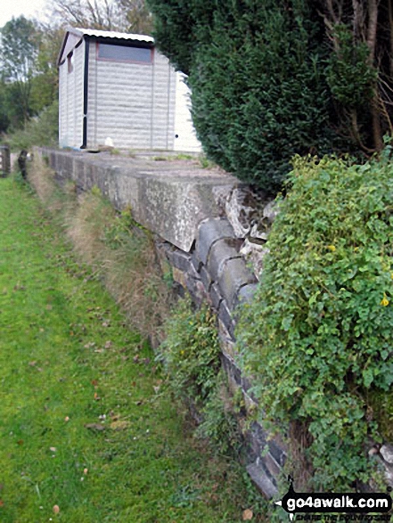
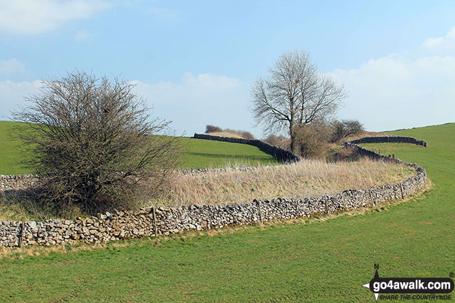
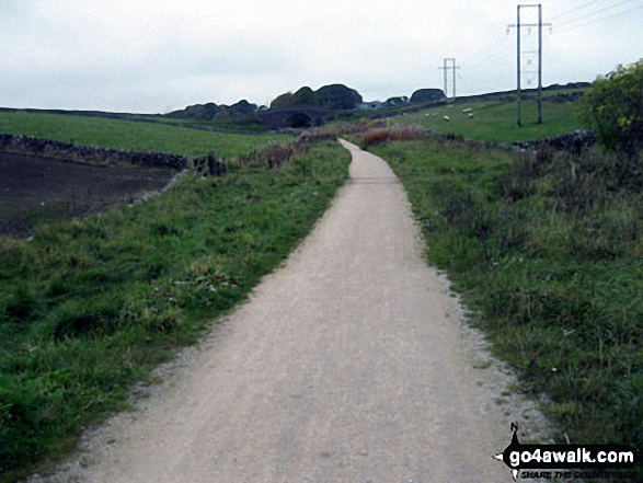
Some Photos and Pictures from Walk d129 The High Peak Trail and The Limestone Way from Monyash

In no particular order . . .

Walk d129 The High Peak Trail and The Limestone Way from Monyash - High Peak Trail near Parsley Hay

High Peak Trail near Parsley Hay

Photo: Terry Howard (61)

Walk d129 The High Peak Trail and The Limestone Way from Monyash - View from the High Peak Trail

View from the High Peak Trail

Photo: Adrian Booth (2)

Walk d129 The High Peak Trail and The Limestone Way from Monyash - Hartington Station and former Signal Box

Hartington Station and former Signal Box

Photo: Terry Howard (63)

Walk d129 The High Peak Trail and The Limestone Way from Monyash - Tissington Trail north of Parsley Hay junction

Tissington Trail north of Parsley Hay junction

Photo: Terry Howard (62)

Walk d129 The High Peak Trail and The Limestone Way from Monyash - View from the High Peak Trail

View from the High Peak Trail

Photo: Adrian Booth (4)

Walk d129 The High Peak Trail and The Limestone Way from Monyash - Sunset from the High Peak Trail

Sunset from the High Peak Trail

Photo: Adrian Booth (1)

Walk d129 The High Peak Trail and The Limestone Way from Monyash - The High Peak Trail near Hurdlow (Sparklow)

The High Peak Trail near Hurdlow (Sparklow)

Photo: Jack Quick (29)

Walk d129 The High Peak Trail and The Limestone Way from Monyash - Hurdlow (Sparklow) station on The High Peak Trail

Hurdlow (Sparklow) station on The High Peak Trail

Photo: Jack Quick (30)

Walk d129 The High Peak Trail and The Limestone Way from Monyash - Wall sign at Parsley Hay

Wall sign at Parsley Hay

Photo: Terry Howard (60)

Walk d129 The High Peak Trail and The Limestone Way from Monyash - View from the High Peak Trail

View from the High Peak Trail

Photo: Adrian Booth (3)


Send us your photographs and pictures from your walks and hikes

We would love to see your photographs and pictures from walk d129 The High Peak Trail and The Limestone Way from Monyash. Send them in to us as email attachments (configured for any computer) along with your name and where the picture was taken to:

and we shall do our best to publish them.

(Guide Resolution = 300dpi. At least = 660 pixels (wide) x 440 pixels (high).)

Send us your walking and hiking photographs and pictures from walk d129 The High Peak Trail and The Limestone Way from Monyash via Facebook

You can also submit photos from walk d129 The High Peak Trail and The Limestone Way from Monyash via our Facebook Page.

NB. Please indicate where each photo was taken.


Follow go4awalk.com on Twitter Follow go4awalk.com on Facebook


Find new Friends to go walking with

Walk all 214 Wainwrights in just 59 Walks. Download GPS Waypoints - Great Walks you must not miss!

Walk The Yorkshire Three Peaks Challenge Walk - All the Latest Route Information, GPS Waypoints and Split Times to keep you on Schedule

Walk The British Three Peaks Challenge Walk - All the Latest Route Information and GPS Waypoints

See our pick of The Best Walks in The Lake District - Great Walks you must not miss!

Walk our pick of the Best Lake District Ridge Walks - Great Walks you must not miss!

Walk our pick of the Best Lake District Walks to do in the rain - Great Walks you must not miss!

Walk our pick of The Best Walks in Snowdonia - Great Walks you must not miss!

Walk our pick of The Best Ridge Walks in Wales - Walks you must not miss!

Walk our pick of The Best Walks in The Brecon Beacons - Great Walks you must not miss!

Walk our pick of The Best Walks in The Yorkshire Dales - Walks you must not miss!

Walk our pick of The Best Walks in The Peak District - Walks you must not miss!

Walk our pick of The Best Walks in The Forest of Bowland - Walks you must not miss!

Walk our pick of The Best Walks in Shropshire - Walks you must not miss!

Walk our pick of The Best Walks in Cheshire - Walks you must not miss!

Walk our pick of The Best Walks in Lancashire - Walks you must not miss!

Not sure where to walk next? Try Peak Bagging - Great Walks you must not miss!

Not sure where to walk next? Walk part of a National Trail - Great Walks you must not miss!

Walks with Downloadable and Uploadable GPS Waypoint Data

Walking Kit and Gear Tested by Walkers

Full Site Search