   |
Vital Statistics:
| Length: | 3¾mls (6km) |
| Ascent: | 630ft (192m) |
| Time: | 2hrs |
| Grade: |  |
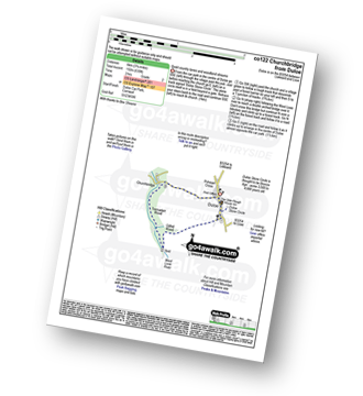
Route outline for walk co122:
Duloe - Duloe Stone Circle - Gillhill Wood - West Looe River - Tremadart Wood - Churchbridge - Duloe
Points of Interest/Notes on this walk:
Duloe Stone Circle is thought to be Bronze Age - some 3,500 to 4,000 years old.
You can find this walk and other nearby walks on these unique free-to-access Interactive Walk Planning Maps:
1:25,000 scale OS Explorer Map (orange/yellow covers):
1:50,000 scale OS Landranger Map (pink/magenta covers):
Send us your photographs and pictures from your walks and hikes
We would love to see your photographs and pictures from walk co122 Churchbridge from Duloe. Send them in to us as email attachments (configured for any computer) along with your name and where the picture was taken to:
and we shall do our best to publish them.
(Guide Resolution = 300dpi. At least = 660 pixels (wide) x 440 pixels (high).)

You can also submit photos from walk co122 Churchbridge from Duloe via our Facebook Page.
NB. Please indicate where each photo was taken.


